Posts Tagged ‘wildfowers’
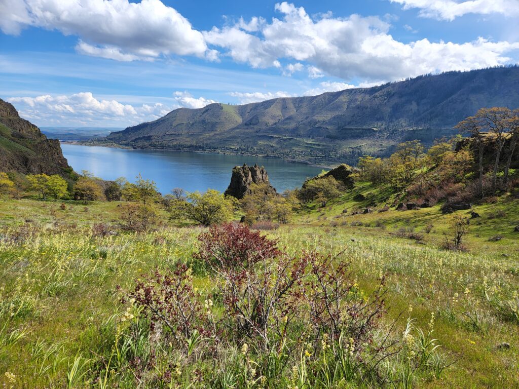
Lyle Cherry Orchard–A great pick for spring wildflowers!
Location: Columbia River Gorge National Scenic Area Land Agency: Friends of the Columbia Gorge Roundtrip: 6.8 miles Elevation gain: 1,500 feet Contact: Friends of the Columbia Gorge Notes: Dogs permitted on leash; Beware ticks, rattlesnakes, and poison oak; parking limited especially on weekends Green Trails Map: Columbia River Gorge East No. 432S Access: From Bingen…
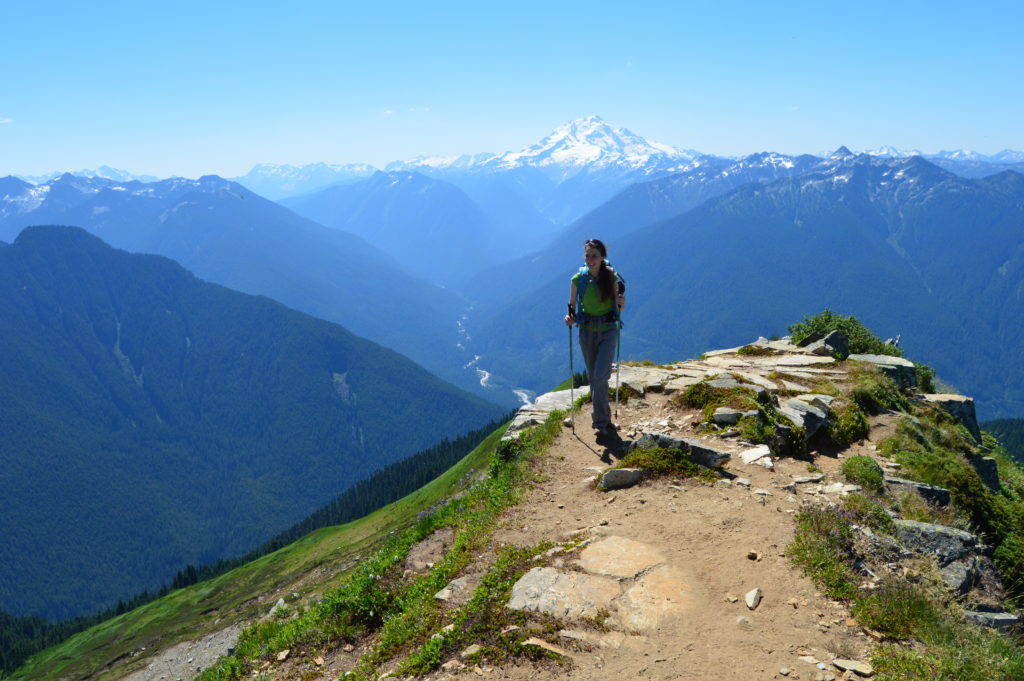
Read MoreGreen Mountain –Banal is thy name—Breathtakingly beautiful is thy game
Quick Facts: Location: Glacier Peak Wilderness, Suiattle River Road Land Agency: Mount Baker-Snoqualmie National Forest Roundtrip: 8.0 miles Elevation gain: 3,100 feet Green Trails Maps: North Cascades Ross Lake 16SX Contact: Darrington Ranger District: Mount Baker-Snoqualmie National Forest Notes: wilderness rules apply Access: From Darrington, travel north on SR 530 for 7.5 miles turning right…
Read MoreBlack Lake─Wildflowers bring Black Lake back to life from past forest fires
Quick Facts: Location: Chewuch River Valley Land Agency: National Forest Service Roundtrip: 10.2 miles Elevation Gain: 800 feet Contact: Methow Valley Ranger District: Okanogan-Wenatchee National Forest Green Trails Map: Methow Valley 51SX Recommended Guidebook: Day Hiking North Cascades 2nd edition Special Note: Northwest Forest Pass or Interagency Pass required. Good to Know: Dog-friendly, kid-friendly, wildflowers,…
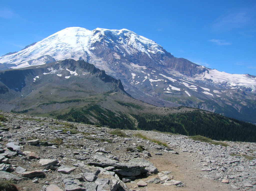
Read MoreSkyscraper Mountain–Enjoy sweeping views of Rainier from this towering summit
Location: Mount Rainier National Park Land Agency: National Park Service Roundtrip: 7.0 miles High Point: 7,078 feet Elevation gain: 1,500 feet Difficulty: moderate Green Trails Map: Mount Rainier Wonderland Map 269S Contact: Mount Rainier National Park Note: Park entrance fee; dogs prohibited Access: From Enumclaw, follow SR 410 east to Sunrise Road. Turn right and…
Read MoreGrand Valley–Aptly named valley has it all; lakes, meadows, and fantastic alpine scenery
Quick Facts Location: Obstruction Point (Hurricane Ridge) Land Agency: National Park Service Roundtrip: 9.8 miles Elevation…
Read MoreCircle Peak–Round this summit for fantastic 360-degree views
Location: White Chuck River Valley, Mountain Loop Highway Land Agency: Mount Baker-Snoqualmie National Forest Roundtrip: 18.6 miles High Point: 5,983 feet Elevation gain: 4,800 feet Difficulty: challenging Notes:FR 23 is currently is closed at mile 4 due to a washout Green Trails Maps: Mountain Loop Highway no. 111SX Recommended Guidebook: Day Hiking North Cascades 2nd…
Read More


