Posts Tagged ‘Whitehorse Trail’
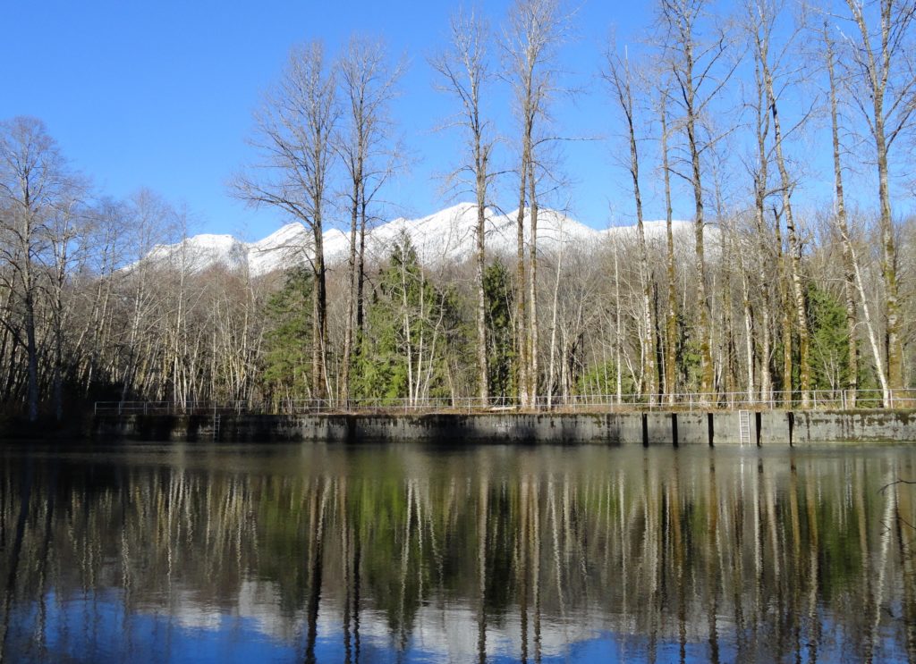
Fortson Ponds –An old mill site on an emerging long distance trail
Quick Facts: Location: Darrington Land Agency: Snohomish County Parks Roundtrip: 2.0 miles Elevation gain: none Difficulty: Easy Contact: Snohomish County Parks Green Trails Map: Mountain Loop Highway 111SX Notes: Dogs allowed on leash Access: From Exit 208 on I-5 (Arlington) travel east on SR 530 for 25.2 miles turning left onto Fortson Mill Road (near…
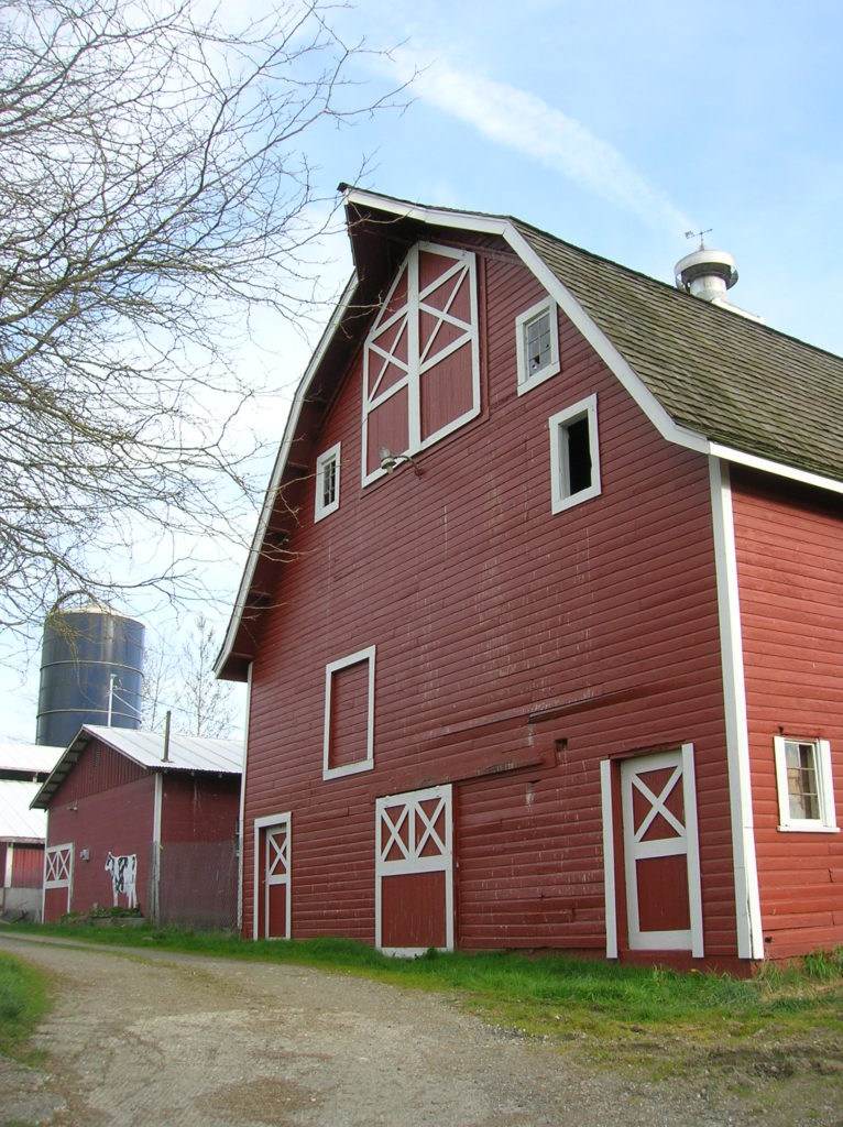
Read MoreCloverdale Farm -Explore this future park on the Stilly
Quick Facts: Location: North Fork Stillaguamish River Valley near Arlington Land Agency: Snohomish County Parks Roundtrip: 4.5 miles Elevation gain: 50 feet Difficulty: easy Contact: Snohomish County Parks Notes: Dogs permitted on leash. All farm buildings are closed to public. Access: From Exit 208 on I-5 head east on SR 530 for 4.0 miles to Arlington. Continue east on SR 530 for…
Read More
