Posts Tagged ‘Urban Trails Bellingham’
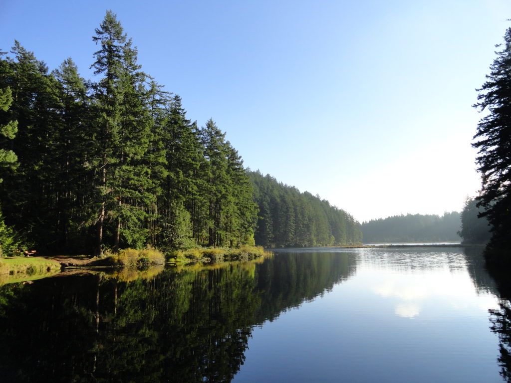
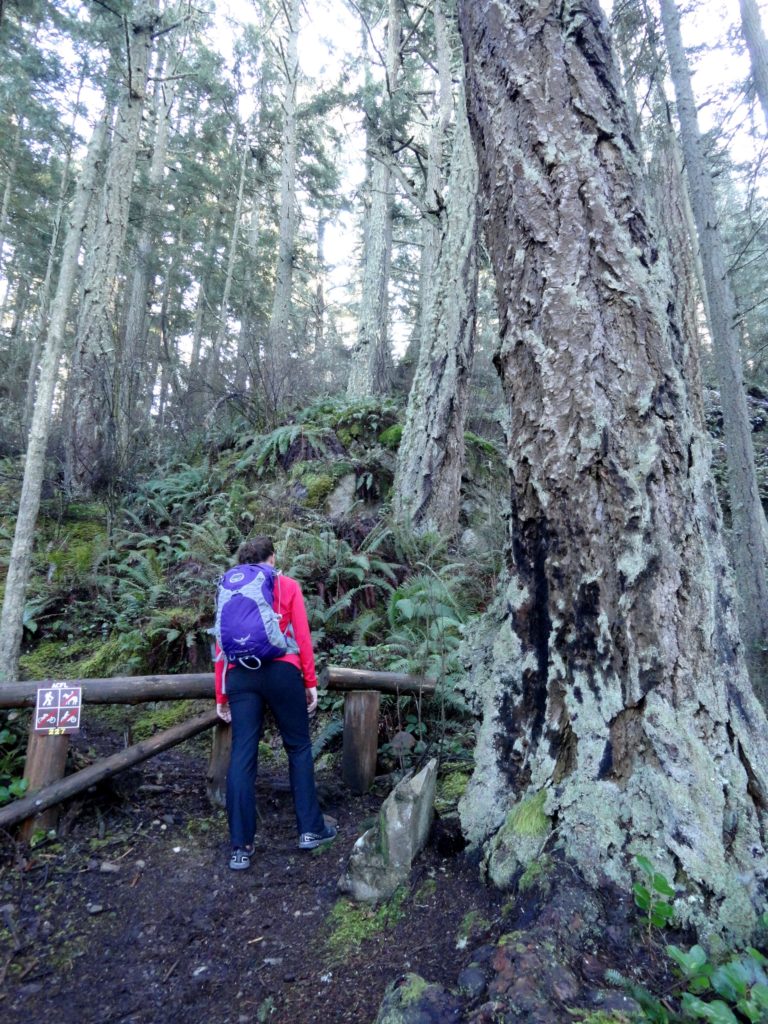
Little Cranberry Lake — A perfect complement hike to your Thanksgiving Day celebration
Quick Facts: Location: Anacortes-Fidalgo Island Land Agency: Anacortes Community Forest Lands Roundtrip: 1.9 miles Elevation Gain: 100 feet Access: From Exit 230 on I-5 in Burlington, head west on SR 20 to junction with SR 20-Spur. Continue right on SR 20-Spur to Anacortes. At traffic light near old town, continue left on 12th Street (still SR 20-Spur and12th Street…
Read MoreLizard and Lily Lakes

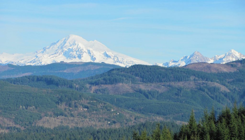
Peaceful wandering near the Oyster Dome Quick Facts: Location: Blanchard State Forest Distance: 7.5 miles roundtrip Elevation Gain: 1,500 feet Contact: Washington Department of Natural Resources Map: Square One Maps Chuckanut Recreation Area Notes: Discover Pass required to park at trailheads Trailhead directions: From I-5 Exit 240 in Alger head north on Lake Samish Road…
Read MoreNorthern State Recreation Area
Wander the former farm grounds of a state mental health hospital Quick Facts: Location: Skagit Valley Distance: more than 7.0 miles of trails Elevation Gain: up to 400 feet Contact: Skagit County ParksDetailed Information: Urban Trails Bellingham (Mountaineers Books) Notes: dogs permitted on leash; park open dawn to dusk. Access: From Exit 230 on I-5…
Read MoreOyster Dome─The Pearl of the Chuckanut Mountains
Quick Facts: Location: Chuckanut Mountains Land Agency: Washington Department of Natural Resources Roundtrip: 6.5 miles Elevation Gain: 1,900 feet Special Note: Oyster Dome can be hazardous in icy and wet conditions. Trail can be extremely popular, opt for a weekday visit. Contact: Washington DNR, Northwest Region; www.dnr.wa.gov Access: Trailhead is located just past milepost 10…
Read MoreSkagit Wildlife Area—Headquarters Unit
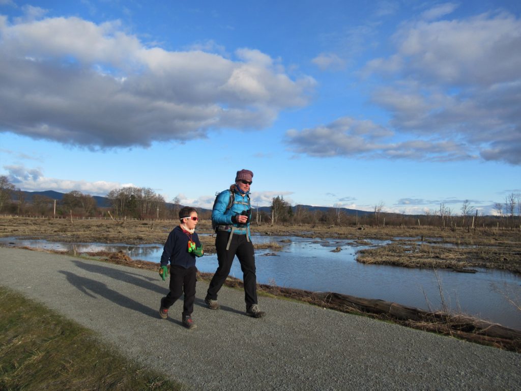
Supreme birdwatching on the Skagit River Delta Quick Facts: Location: Fir Island, Skagit County Land Agency: Washington Department of Fish and Wildlife (WDFW) Round Trip: 1.9 miles of trails Elevation Gain: minimal Contact: Washington Department of Fish and Wildlife (WDFW) Detailed Information: Urban Trails Bellingham (Mountaineers Books) Notes: Discover Pass or WDFW Vehicle Access Pass…
Read MoreLookout Loop

A good grunt to a so-so viewpoint in a great new forest preserve Quick Facts: Location: Lookout Mountain Forest Preserve Land Agency: Whatcom County Parks Round Trip: 4.0 miles Elevation Gain: 850 feet Contact: Whatcom County Parks Notes: dogs permitted on leash, trail open to mountain bikes Recommended Guidebook: Urban Trails Bellingham (Mountaineers Book) Access:…
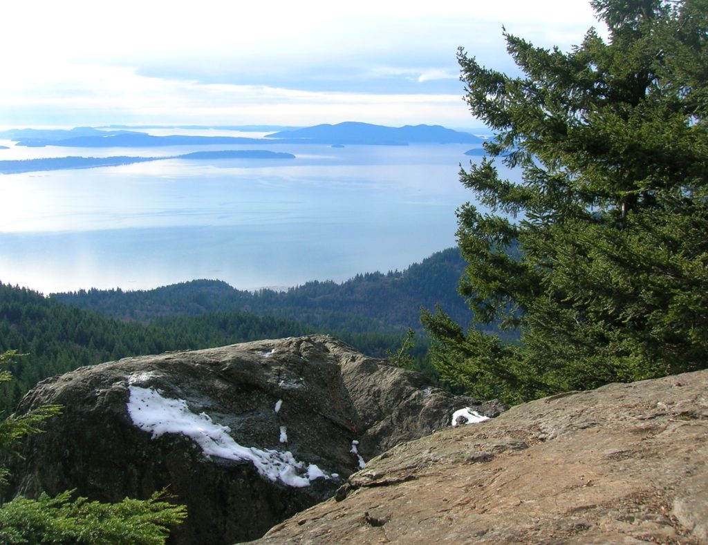
Read MoreSugarloaf — Savor Sweet Salish Sea Views
Quick Facts: Location: Anacortes, Fidalgo Island Land Agency: Anacortes Community Forest Lands Roundtrip: 2.5 miles Elevation gain: 650 feet Contact: Anacortes Parks and Recreation Notes: dogs permitted on leash; some trails open to bicycles, horses. Access: From Exit 230 on I-5 in Burlington, head west on SR 20 for 13.5 miles. Turn right onto…
Read MoreChuckanut Ridge — Follow a rough and tumble ridge to sweeping viewpoints
Quick Facts: Location: Chuckanut Mountains Land Agency: Whatcom County Parks and Washington State Parks Round Trip: 10.8 miles roundtrip Elevation Gain: 2000 feet Contact: Whatcom County Parks Recommended Resource: Urban Trails Bellingham (Mountaineers Books) Detailed map: Square One Maps Chuckanut Recreation Area Notes: Dogs allowed on leash Access: From Bellingham follow I-5 south to Fairhaven…
Read MoreHertz Trail –Hike along a wild shoreline of Lake Whatcom
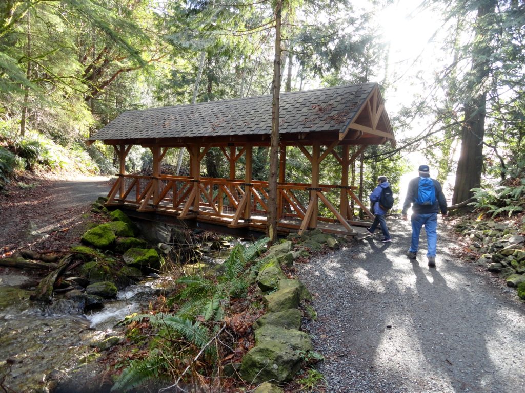
Quick Facts: Location: western Whatcom County, near Bellingham Land Agency: Whatcom County Parks Round Trip: 6.2 miles roundtrip Elevation Gain: 60 feet Contact: Whatcom County Parks Detailed Information: Urban Trails Bellingham (Mountaineers Books) Notes: Dogs allowed on leash Access: From Bellingham follow I-5 to Exit 253. Then follow Lakeway Drive east for 1.7 miles bearing…
Read MoreHeart Lake– A perfect destination for a St. Valentine’s Day hike

Quick Facts: Location: Fidalgo Island Land Agency: Anacortes Parks Department Roundtrip: 3.0 miles Green Trails Map: Deception Pass/Anacortes Community Forest Lands No. 41S Elevation gain: 160 feet Contact: City of Anacortes Parks and Recreation; Friends of the Forest Notes: Dogs must be leashed; some trails open to bicycles, horses. Access: From Exit 230 on…
Read More