Posts Tagged ‘Trail less traveled’
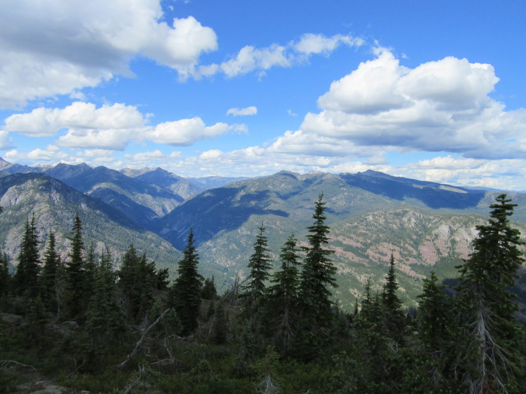
Driveway Butte– Give your calves a workout hiking this steep old cattle drive
Quick Facts: Location: Methow Valley Land Agency: Okanogan-Wenatchee National Forest Round Trip: 8.6 miles Elevation Gain: 3000 feet Contact: Okanogan-Wenatchee National Forest Green Trails Map: Green Trails Washington Pass No. 50 Recommended Guidebook: Day Hiking North Cascades 2nd Edition Notes: Northwest Forest Pass or Interagency Pass required Access: From Marblemount follow State Route 20 east…
Read MoreDirty Face Ridge– Make a clean break from Mount Townsend’s crowds
Quick Facts: Location: Buckhorn Wilderness, Northeast Olympic Peninsula Land Agency: Olympic National Forest Roundtrip: 7.8 miles Elevation gain: 3,000 feet Green Trails Maps: Olympic Mountains East No. 168SX Recommended Guidebook: Day Hiking Olympic Peninsula 2nd edition (Mountaineers Books) by Craig Romano Contact: Hood Canal District, Olympic National Forest Quilcene Access: Take US 101 to Louella…
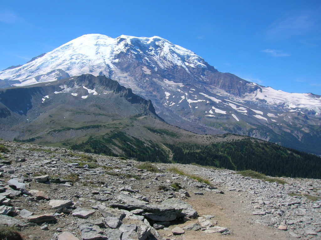
Read MoreSkyscraper Mountain–Enjoy sweeping views of Rainier from this towering summit
Location: Mount Rainier National Park Land Agency: National Park Service Roundtrip: 7.0 miles High Point: 7,078 feet Elevation gain: 1,500 feet Difficulty: moderate Green Trails Map: Mount Rainier Wonderland Map 269S Contact: Mount Rainier National Park Note: Park entrance fee; dogs prohibited Access: From Enumclaw, follow SR 410 east to Sunrise Road. Turn right and…
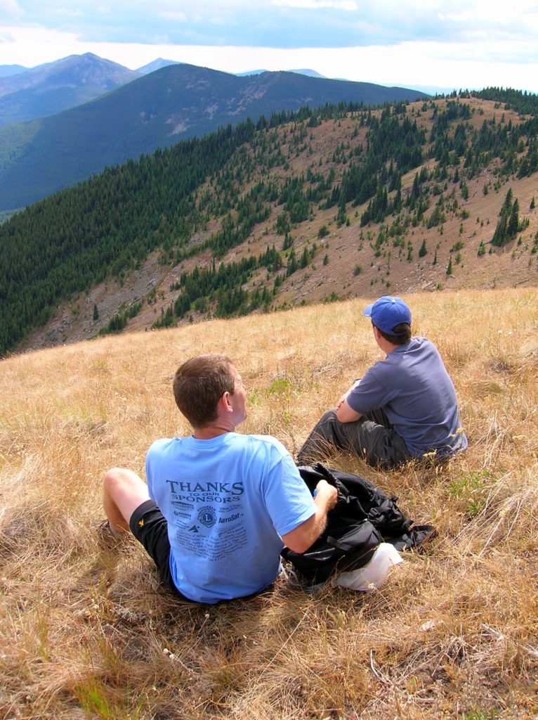
Read MoreWapaloosie Mountain–a wapaloosie of a peak indeed!
Location: Kettle River Range Land Agency: National Forest Service Roundtrip: 6.0 miles Elevation gain: 2,000 feet Contact: Colville National Forest Access: From Republic, head east on SR 20 for 21 miles turning left onto FR 2030 (Albion Hill Road). From Kettle Falls, head west on SR 20 for 22 miles, turning right onto FR 2030. Follow FR…
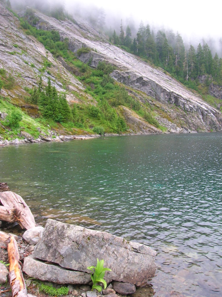
Read MoreNorth Lake–Secluded Lake off popular Mountain Loop Highway
Quick Facts: Location: Mountain Loop Highway near Granite Falls Land Agency: Mount Baker-Snoqualmie National Forest Roundtrip: 6.4 miles High Point: 4,900 feet Elevation gain: 2,300 feet Difficulty: difficult Green Trails Map: Mountain Loop Highway no. 111SX Contact: Darrington Ranger District Notes: Access road is rough in spots; high clearance recommended Access: From Granite Falls follow the Mountain Loop Highway east for 26 miles. Just…
Read More


