Posts Tagged ‘summer wildflowers’
Round Lake — Find solitude on Lost Creek Ridge
Quick Facts: Location: Mountain Loop Highway near Darrington Land Agency: Mount Baker-Snoqualmie National Forest Roundtrip: 9.8 miles Elevation gain: 4300 feet Difficulty: strenuous Green Trails Map: Mountain Loop Highway 111SX Contact: Darrington Ranger District; Mount Baker-Snoqualmie National Forest Access: From Darrington follow the Mountain Loop Highway for 16 miles to a junction with Forest Road 49. Turn…
Read MoreTiffany Mountain — Enjoy horizon-spanning views at the edge of the North Cascades
Quick Facts: Location: Northeastern Cascades Land Agency: Okanogan-Wenatchee National Forest Roundtrip: 5.0 miles Elevation Gain: 1,700 feet Green Trails Map: Green Trails, Tiffany Mountain, WA- No. 53 Contact: Tonasket Ranger District, Okanogan-Wenatchee National ForestAccess: From Burlington follow SR 20 east to Winthrop. Then continue north on East Chewuch River Road for 6.5 miles and turn right onto FR…
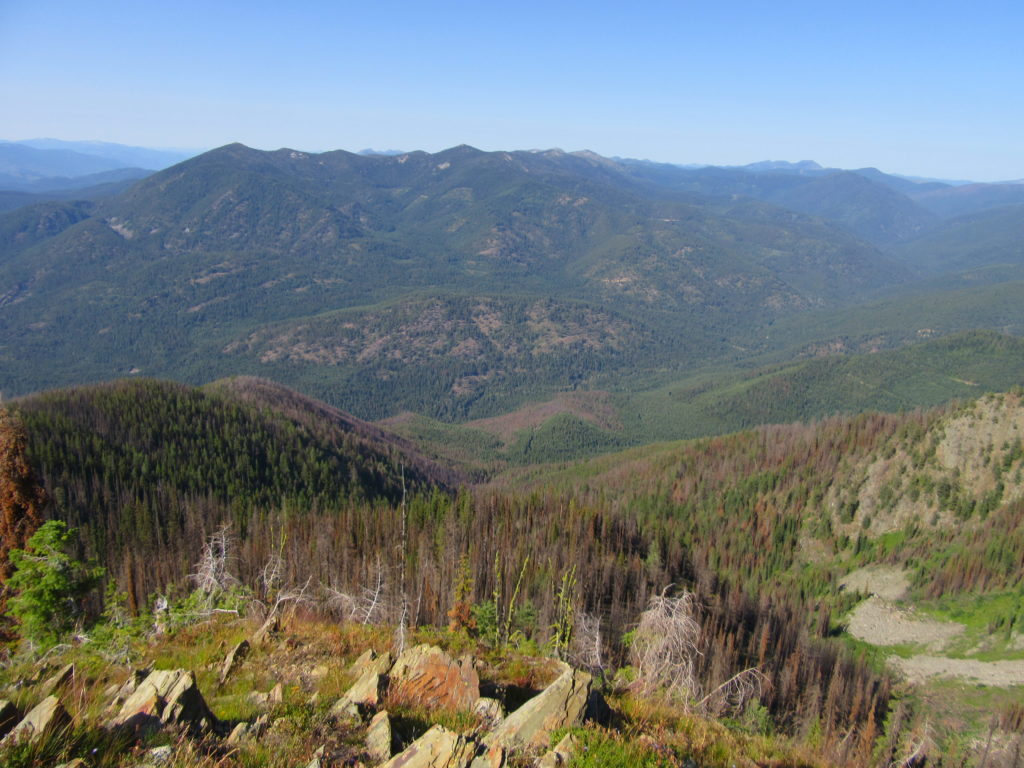
Read MoreHall Mountain via Noisy Creek– It’s a haul to this old lookout site
Quick Facts: Location: Selkirk Mountains, Eastern Washington Land Agency: National Forest Service Roundtrip: 14 miles Elevation Gain: 4130 feet Contact: Sullivan Lake District, Colville National Forest Notes: Practice Leave No Trace principles; grizzly habitat, trail passes recent burn zone–use caution Access: From Newport, Washington follow SR 20 north (west) 47 miles to the junction with SR 31 in…
Read MoreHeather Park─Steep climb to views that are “Tops”
Quick Facts: Location: Hurricane Ridge-Heart of the Hills Land Agency: Olympic National Park Roundtrip: 10 miles Elevation Gain: 3,940 feet Green Trails Map: Hurricane Ridge-Elwha North No. 134S Access: From Port Angeles, follow Race Street south 1.2 miles passing the Olympic National Park Visitors Center to the Hurricane Ridge Road (Heart O the Hills Parkway).…
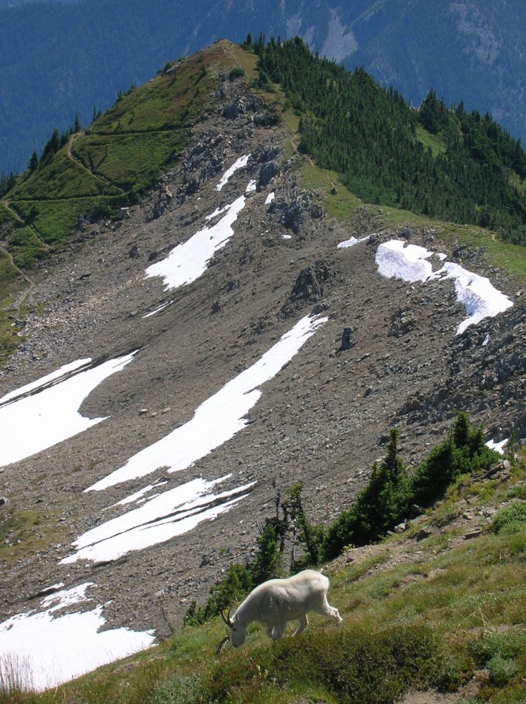
Read MoreRock Mountain via Snowy Creek—Big sky views and perhaps a goat or two
Quick Facts: Location: Nason Ridge near Stevens Pass Land Agency: Okanogan-Wenatchee National Forest Roundtrip: 9.8 miles Elevation Gain: 3,250 feet Green Trails Map: Alpine Lakes Stevens Pass Map 176S Access: From Everett head east on US 2. Four miles past Stevens Pass turn left onto Smith Brook Road (FR 6700). Follow for 6.0 miles turning…
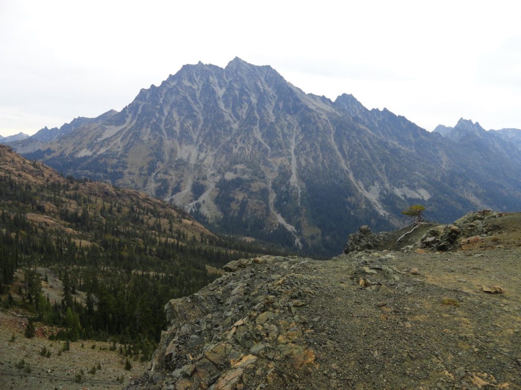
Read MoreLongs Pass- Short and steep hike to in-your face views of Stuart
Quick Facts: Location: Alpine Lakes Wilderness Land Agency: National Forest Service Round Trip: 5.8 miles Elevation Gain: 2100 feet Contact: Cle Elum Ranger District, Wenatchee-Okanogan National Forest Green Trails Maps: Aline Lakes East –Stuart Range no. 208SX Notes: Northwest Forest Pass or Interagency Pass required; Dogs-prohibited Access: From Seattle take I-90 to exit 85 and follow…
Read More


