Posts Tagged ‘Suiattle River’
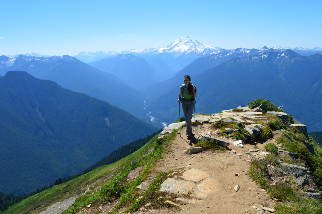
Green Mountain –Banal is thy name—Breathtakingly beautiful is thy game
Quick Facts: Location: Glacier Peak Wilderness, Suiattle River Road Land Agency: Mount Baker-Snoqualmie National Forest Roundtrip: 8.0 miles Elevation gain: 3,100 feet Green Trails Maps: North Cascades Ross Lake 16SX Contact: Darrington Ranger District: Mount Baker-Snoqualmie National Forest Notes: wilderness rules apply Access: From Darrington, travel north on SR 530 for 7.5 miles turning right…
Read MoreSulphur Mountain –Savor Sweet Suiattle Valley Views
Quick Facts: Location: Suiattle River Road Land Agency: Mount Baker-Snoqualmie National Forest Roundtrip: 10.0 miles Elevation gain: 4,600 feet Green Trails Maps: Mountain Loop Highway Map 111SX Contact: Darrington Ranger District: Mount Baker-Snoqualmie National Forest Notes: Northwest Forest Pass or interagency pass required Access: From Darrington, travel north on SR 530 for 7.5 miles turning…
Read MoreDowney Creek — portal to famous Ptarmigan Traverse
Quick Facts: Location: Suiattle River Road Land Agency: Mount Baker-Snoqualmie National Forest Roundtrip: 13.6 miles Elevation gain: 1500 feet Green Trails Maps: Mountain Loop Highway Map 111SX Contact: Darrington Ranger District: Mount Baker-Snoqualmie National Forest Notes: Northwest Forest Pass or interagency pass required Access: From Darrington travel north on SR 530 for 7.5 miles turning…
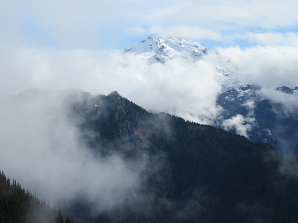
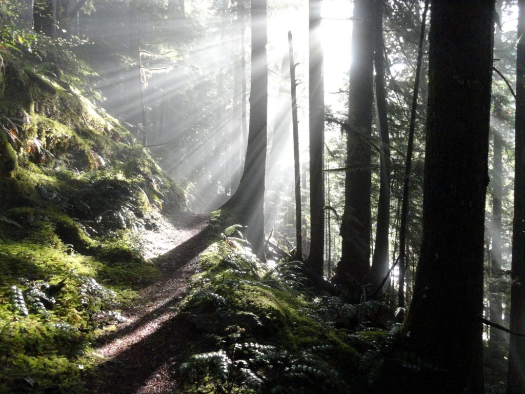
Read MoreSuiattle River– A wild river and majestic primeval forest within the shadows of Glacier Peak
Quick Facts: Location: Suiattle River Road Land Agency: Mount Baker-Snoqualmie National Forest Roundtrip: 13.0 miles Elevation gain: 1,000 feet Green Trails Maps: Mountain Loop Highway no. 111SX Contact: Darrington Ranger District: Mount Baker-Snoqualmie National Forest Notes: Northwest Forest Pass or interagency pass required Access: From Darrington travel north on SR 530 for 7.5 miles turning…
Read More


