Posts Tagged ‘solitude’
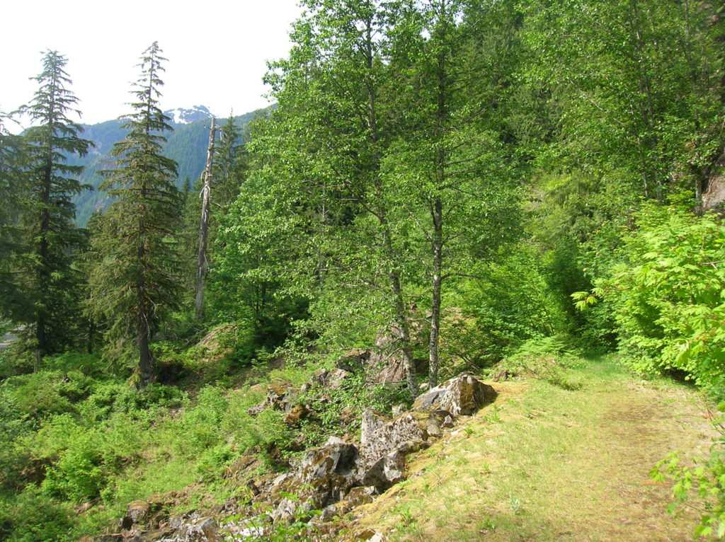
Old Government Trail–Follow in the footsteps of long gone miners and adventurers
Location: Mountain Loop Highway near Granite Falls Land Agency: Mount Baker-Snoqualmie National Forest Roundtrip: 4.0 miles High Point: 2,450 feet Elevation gain: 400 feet Difficulty: difficult Green Trails Map: Mountain Loop Highway 111SX Contact: Darrington Ranger District: Mount Baker Snoqualmie National Forest ( Notes: Northwest Forest Pass required Access: : From Granite Falls, follow the Mountain…
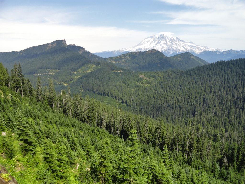
Read MoreAllen Mountain Trail Less Traveled near Mount Rainier
Quick Facts: Location: Mount Rainier region Land Agency: Gifford Pinchot National Forest Round Trip: 10.0 miles Elevation Gain: 2,350 feet Contact: Cowlitz Valley Ranger Station (Randle), Gifford Pinchot National Forest Green Trails Map: Randle, WA no. 301 Notes: Trails are also open to mountain bikes and motorcycles but use is light; this hike is lightly…
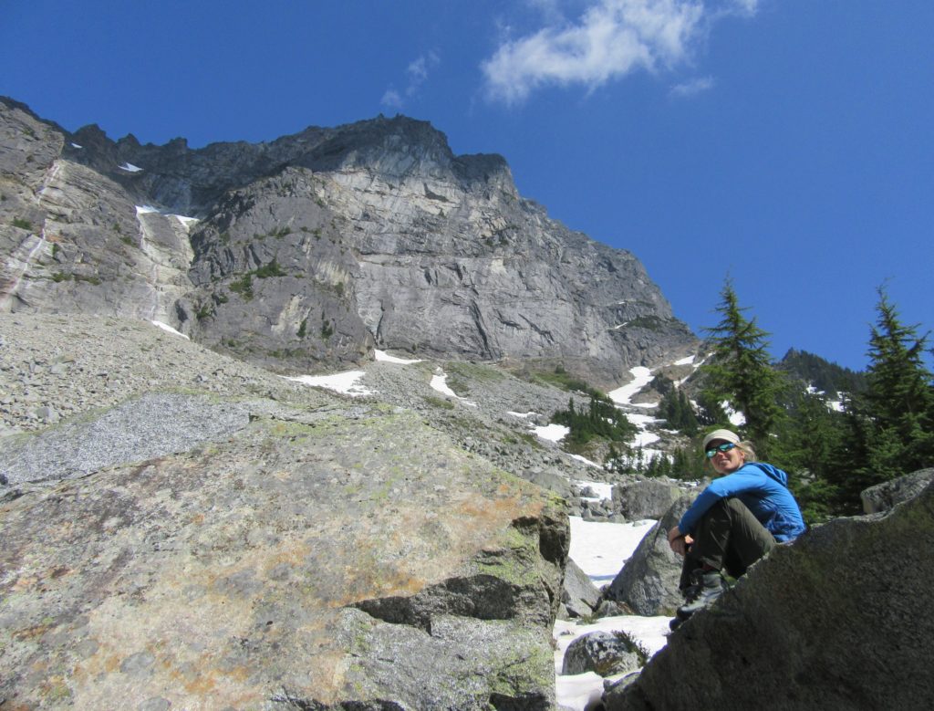
Read MoreBedal Basin–Lonesome and beautiful basin beneath awe-inspiring Sloan Peak
Location: Mountain Loop Highway Land Agency: Mount Baker-Snoqualmie National Forest Roundtrip: 5.2 miles High Point: 4,650 feet Elevation gain: 1,900 feet Difficulty: challenging Green Trails Maps: Mountain Loop Highway No. 111SX Contact: Darrington Ranger District: Mount Baker Snoqualmie National Forest Access: Take Exit 208 off of I-5 following SR 530 east for 32 miles to Darrington.…
Read More

