Posts Tagged ‘Snowshoe trips’
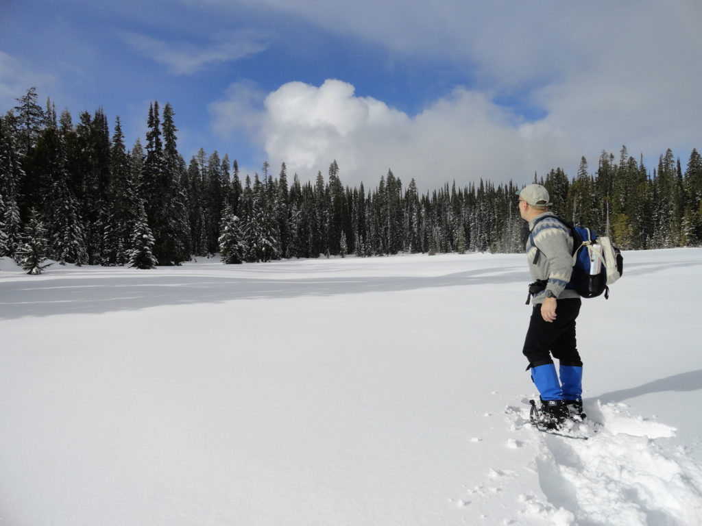
Deer Lake– Wilderness lake above White Pass
Location: William O. Douglas Wilderness, White Pass Land Agency: Okanogan-Wenatchee National Forest Roundtrip: 6.0 miles Elevation gain: 780 feet Green Trails Map: White Pass No. 303 Contact: White Pass Nordic Center Access: From Yakima or Morton follow US 12 to White Pass and proceed north to parking area near Yurt behind the Village Inn Condominiums.…
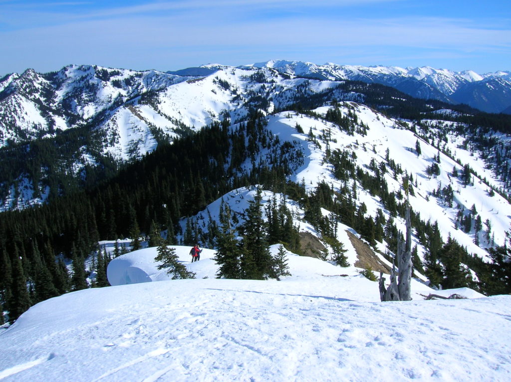
Read MoreHurricane Hill─Storm this summit on snowshoes or skis
Quick Facts: Location: Hurricane Ridge, Olympic National Park Land Agency: National Park Service Roundtrip: 6.0 miles Elevation Gain: 900 feet Contact: Olympic National Park Green Trails Map: Elwha North Hurricane Ridge, No 134S Notes: Dogs are prohibited. National Park Entry Fee Required. Dec–Mar the road is open Fri–Sun and Holiday Mondays only weather permitting. All…
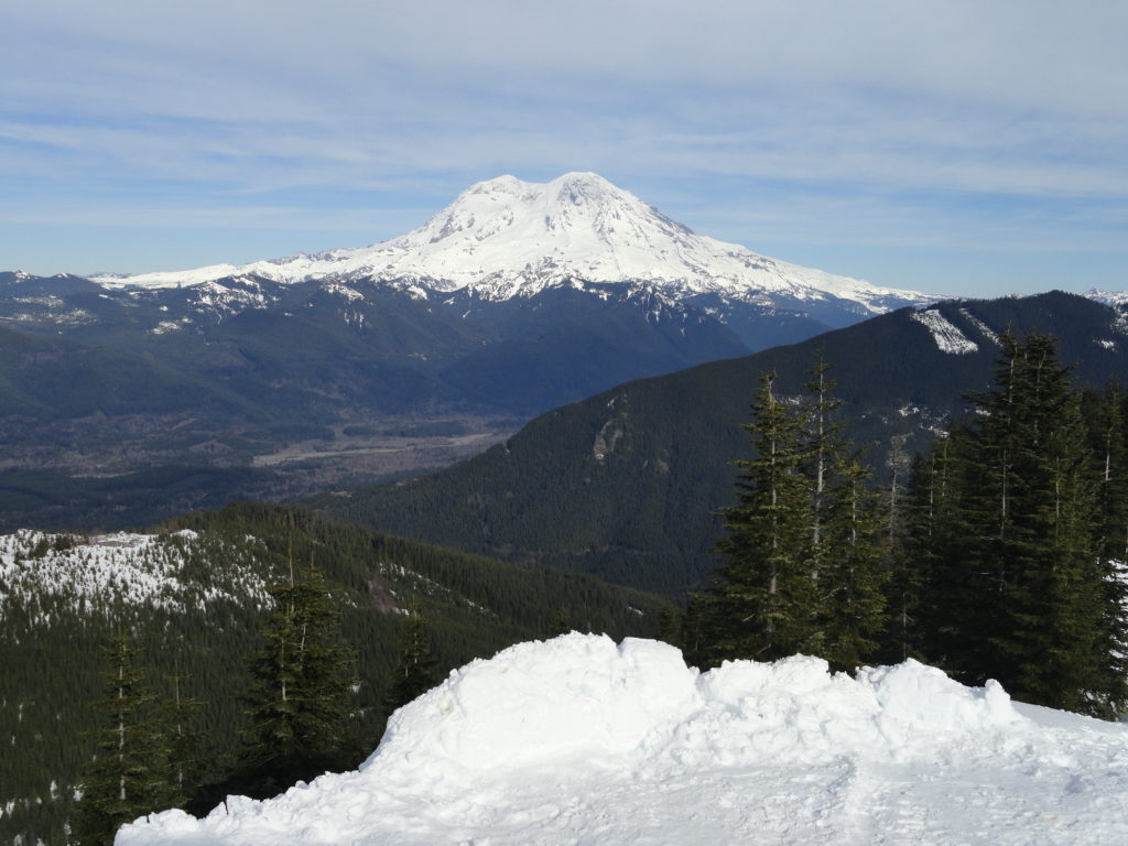
Read MoreHigh Hut — Snowshoe to a heavenly hut in the shadow of Rainier
Quick Facts: Location: Mount Tahoma Trails near Ashford Land Agency: Washington DNR and Mount Tahoma Trails Association Roundtrip: 8.6 miles Elevation gain: 2,400 feet Contact: Mount Tahoma Trails Association MTTA Map: Mount Tahoma Ski Trail System (MTTA) Notes: Sno-Park Pass required; Reservations required for overnight stays in hut Access: From Elbe head east 10 miles…
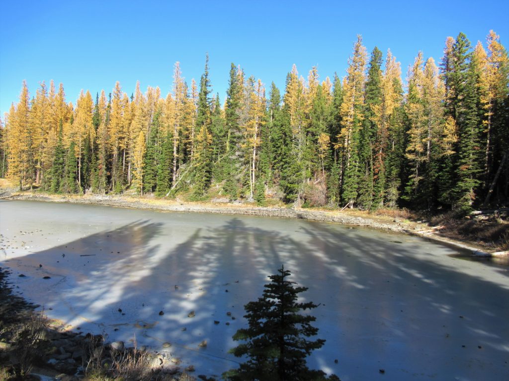
Read MoreClara and Marion Lakes
Quick Facts: Location: Mission Ridge, Okanogan-Wenatchee National Forest Land Agency: Okanogan-Wenatchee National Forest Roundtrip: 3.2 miles Elevation Gain: 960 feet Green Trails Map: Wenatchee/ Mission Ridge, WA- No 211S Access: Follow US 2 to Wenatchee turning south onto SR 285 and continuing for 4.5 miles until it turns east to cross the Columbia River into…
Read MoreGoat Falls –“Kid-friendly” snowshoe trip near Mount Rainier National Park
Quick Facts: Location: White River Valley Land Agency: Mount Baker-Snoqualmie National Forest Roundtrip: 2.5 miles Elevation gain: 500 feet Green Trails Map: Mount Rainier Wonderland no. 269SX Contact: Mount Baker-Snoqualmie National Forest; Snoqualmie Ranger DistrictNotes: Northwest Forest Pass required at actual trailhead. When snow level is low, parking may be a challenge. Do not block…
Read MoreKelcema Lake-Satisfying snowshoe trip to ancient forest flanked subalpine lake
Quick Facts: Location: Mountain Loop Highway near Granite Falls Land Agency: Mount Baker-Snoqualmie National Forest Roundtrip: 9.6 miles Elevation gain: 1,600 feet Green Trails Map: Mountain Loop Highway 111SX Contact: Darrington Ranger District: Mount Baker Snoqualmie National Forest Access: From Granite Falls, follow the Mountain Loop Highway east for 23.5 miles to Deer Creek Parking…
Read MoreWhite River–Low country snowshoe adventure within the shadow of Mount Rainier
Location: White River Valley Land Agency: Mount Baker-Snoqualmie National Forest Roundtrip: up to 10.0 miles Elevation gain: 700 feet Green Trails Map: Greenwater No. 238 Contact: Mount Baker-Snoqualmie National Forest Notes: Northwest Forest Pass; Parking can be a challenge when snowfall is heavy along roads. Do not park on road shoulders, or block access to substation…
Read More