Posts Tagged ‘Snohomish County Parks’
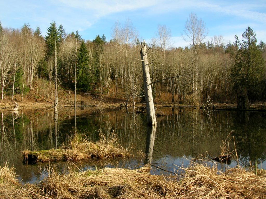
Beaver Lake Loop–wetland wonderland on Lord Hill
Location: Lord Hill Park near Snohomish Land Agency: Snohomish County Parks Roundtrip: 2.2 miles High Point: 650 feet Elevation gain: 200 feet Difficulty: easy Contact: Snohomish County Parks Notes: Dogs must be on leash; Map available online Access: From Everett, head east on US 2 for 8.0 miles and take 88th Street SE Exit. Turn right…
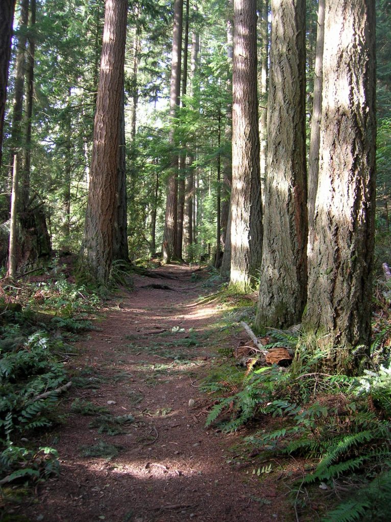
Read MoreTemple Pond—Make a hiking pilgrimage to the Temple of Lord Hill
Quick Facts: Location: Snohomish County near Monroe and Snohomish Land Agency: Snohomish County Parks Roundtrip: 3.7 miles Elevation Gain: 150 feet Access: From the city of Snohomish, exit SR 9 onto 2nd Street. Proceed east for a one mile; then turn right onto Lincoln Ave which becomes the Old Snohomish-Monroe Highway. After 2.7 miles turn…
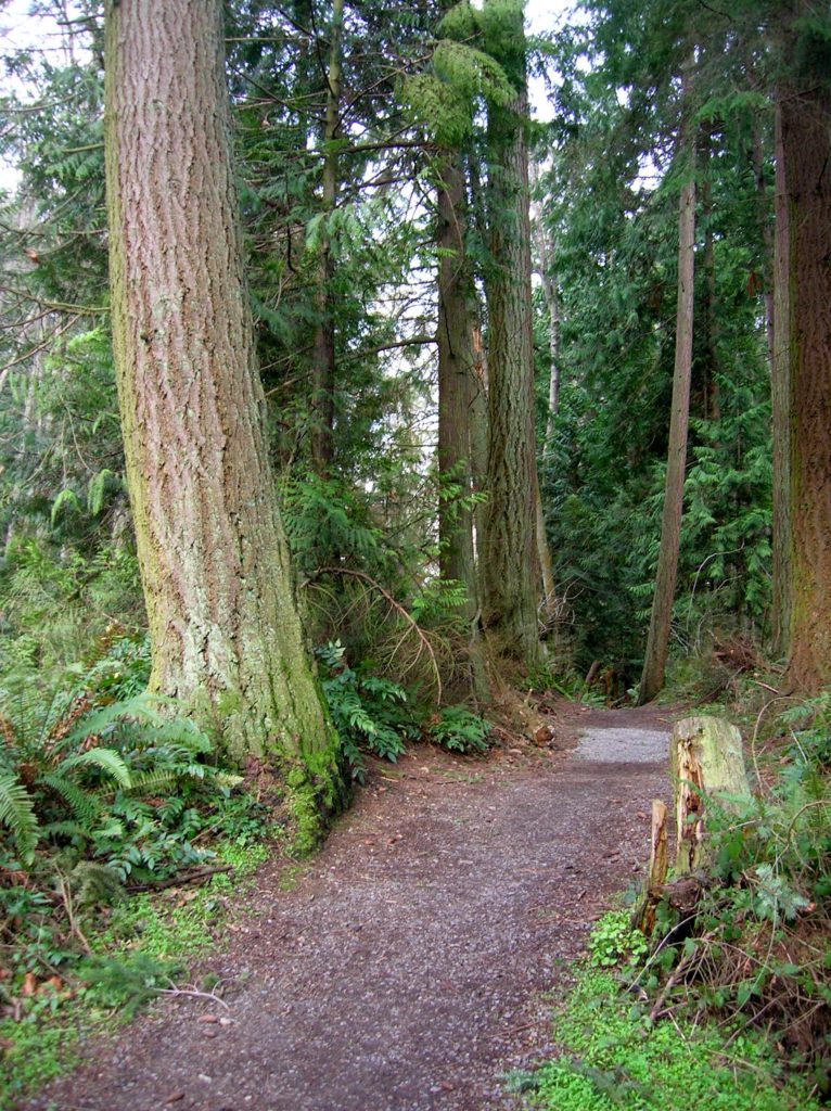
Read MoreSouthwest County Park─Emerald Swath above Edmonds
Quick Facts: Location: Edmonds Land Agency: Snohomish County Parks and Recreation Roundtrip: Up to 5 miles Elevation Gain: up to 250 feet Access: From Everett follow I-5 south to exit 181. Now follow SR 524 (196th St SW) west passing SR 99 and in about another mile turn right onto 76th Ave W. Proceed for about .5…
Read MoreMeadowdale Beach—Reach the Beach through an Emerald Gulch
Quick Facts: Location: Lynnwood Land Agency: Snohomish County Parks Roundtrip: 2.5 miles Elevation Gain: 425 feet Contact: Snohomish County Parks Special Notes: Dogs must be leashed; park open 7 am to dusk: do not park on road Access: From Everett, head 10 miles south on I-5 to exit 183. Follow 164th Street SW west for…
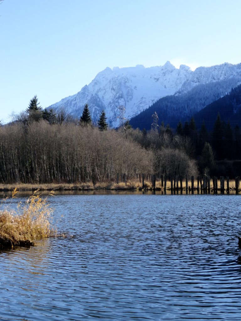
Read MoreFortson Ponds –An old mill site on an emerging long distance trail
Quick Facts: Location: Darrington Land Agency: Snohomish County Parks Roundtrip: 2.0 miles Elevation gain: none Difficulty: Easy Contact: Snohomish County Parks Green Trails Map: Mountain Loop Highway 111SX Notes: Dogs allowed on leash Access: From Exit 208 on I-5 (Arlington) travel east on SR 530 for 25.2 miles turning left onto Fortson Mill Road (near…
Read More


