Posts Tagged ‘Snohomish County Parks’
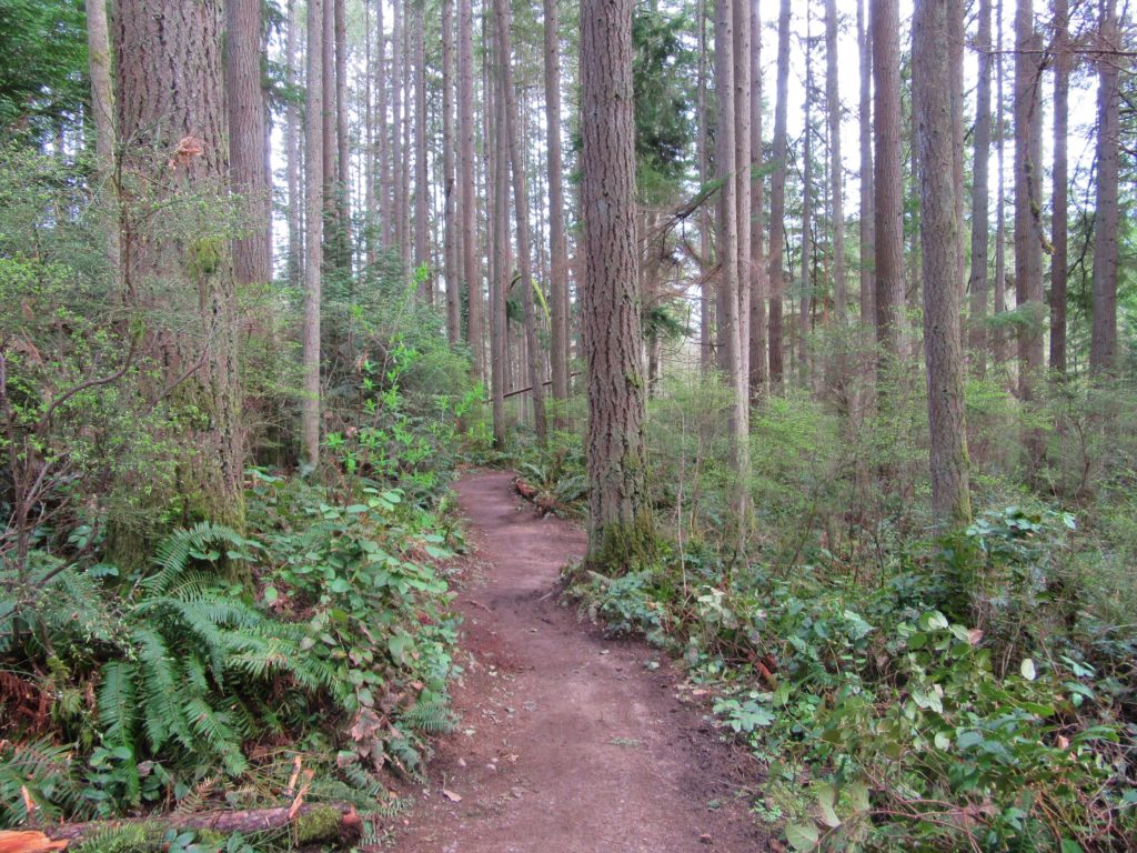
Mainline Trail—Hike through the heart of the Paradise Valley Conservation Area
Quick Facts: Location: Maltby Land Agency: Snohomish County Parks Roundtrip: 3.2 miles Elevation Gain: minor ups and downs Access: From SR 522 in Maltby (5.0 miles east of Woodinville; 8.0 miles west of Monroe) head east on Paradise Lake Road for 1.7 miles to trailhead. Notes: Dogs must be on leash. Park open 7 am…
Read MoreFortson Ponds –An old mill site on an emerging long distance trail
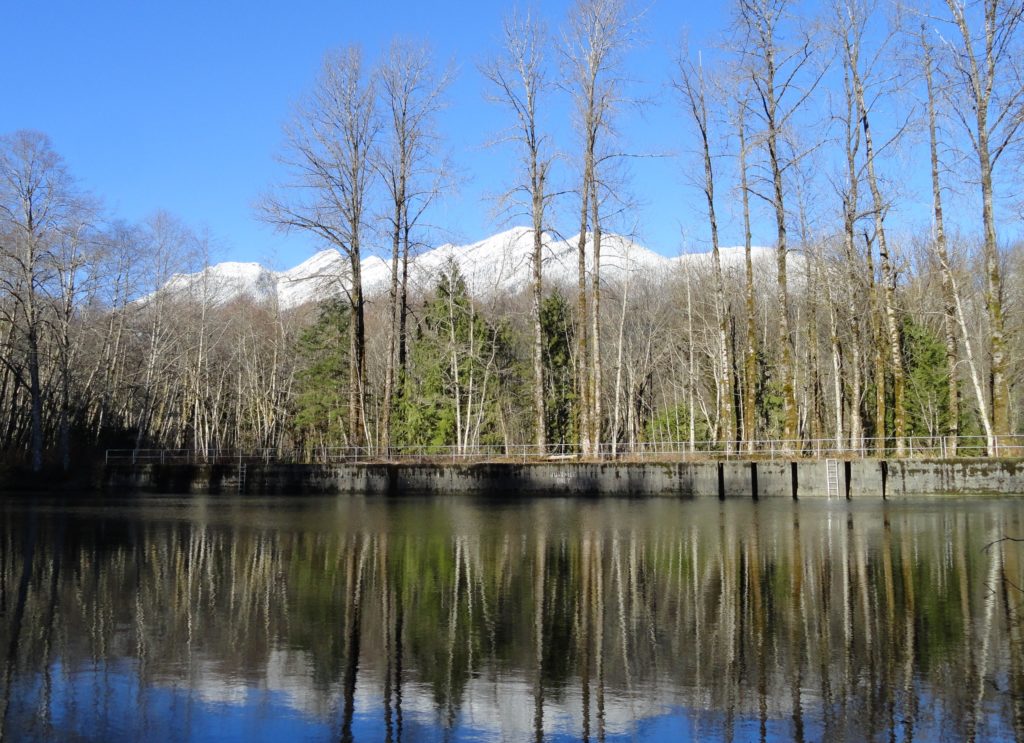
Quick Facts: Location: Darrington Land Agency: Snohomish County Parks Roundtrip: 2.0 miles Elevation gain: none Difficulty: Easy Contact: Snohomish County Parks Green Trails Map: Mountain Loop Highway 111SX Notes: Dogs allowed on leash Access: From Exit 208 on I-5 (Arlington) travel east on SR 530 for 25.2 miles turning left onto Fortson Mill Road (near…
Read MoreMeadowdale Beach—Reach the Beach through an Emerald Gulch
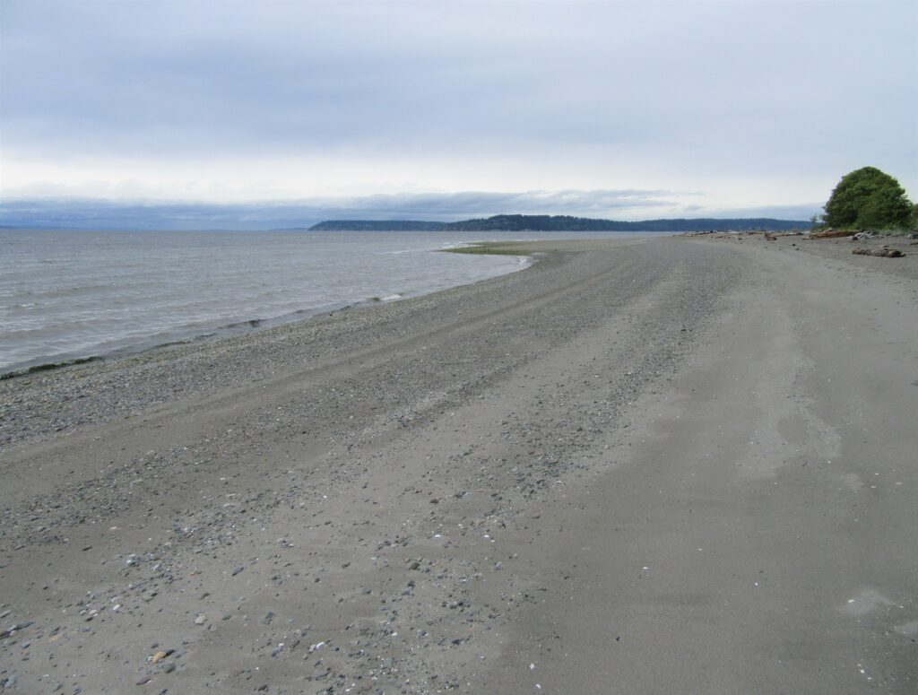
Quick Facts: Location: Lynnwood Land Agency: Snohomish County Parks Roundtrip: 2.5 miles Elevation Gain: 425 feet Contact: Snohomish County Parks Special Notes: Dogs must be leashed; park open 7 am to dusk: do not park on road Access: From Everett, head 10 miles south on I-5 to exit 183. Follow 164th Street SW west for…
Read MoreRiver Meadows Park─Wander along the Stillaguamish River
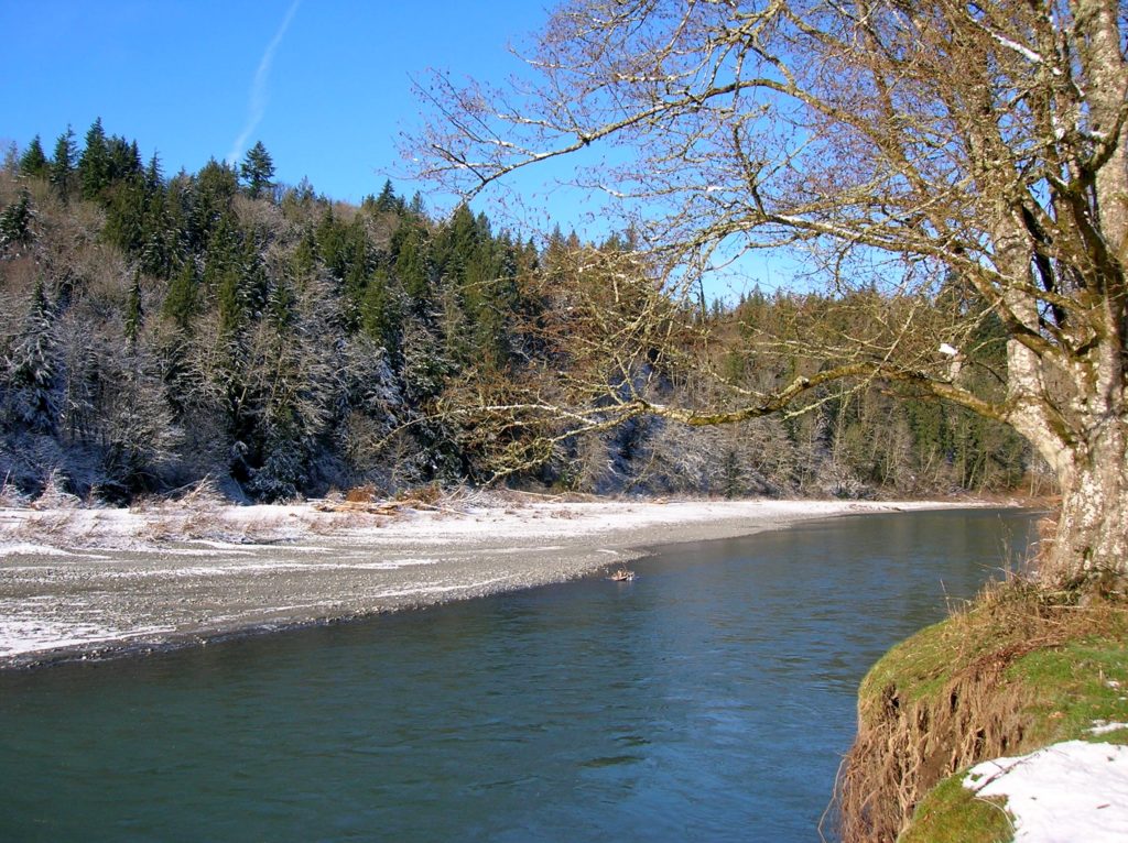
Quick Facts: Location: South Fork Stillaguamish River, near Arlington Land Agency: Snohomish County Parks Roundtrip: 2.5 miles Elevation Gain: 150 feet Contact: Snohomish County Parks Notes: Dogs must be leashed. Access: From Exit 208 on I-5 head east on SR 530 to Arlington. One mile beyond junction with SR 9 (just after crossing the South…
Read MoreWhitehorse Trail East–Hike along the North Fork Stilly
Quick Facts: Location: SR 530 Darrington Land Agency: Snohomish County Parks Roundtrip: 14 miles Elevation gain: 160 feet Difficulty: Easy Contact: Snohomish County Parks Green Trails Map: Mountain Loop Highway no. 111SX Recommended Guidebook: Day Hiking North Cascades (Mountaineers Books) Notes: Dogs allowed on leash Access: Take exit 208 off of I-5 and drive 25 miles east…
Read MoreFlowing Lake–For peaceful wandering, go with the Flow in the springtime
Location: Three Lakes, east of Snohomish Land Agency: Snohomish County Parks Roundtrip: 1.2 miles Elevation gain: 100 feet Contact: Snohomish County Parks Notes: $10.00 day use fee; Dogs must be on leash Access: From Everett follow US 2 east for 10 miles turning left onto Westwick Road. Follow Westwick Road for approximately 2.0 miles bearing…
Read MoreEphemeral Trail–Enjoy lasting memories on this Paradise Valley Trail
Location: Maltby Land Agency: Snohomish County Parks Roundtrip: 4.0 miles Elevation gain: 200 feet Difficulty: Easy Contact: Snohomish County Parks Notes: Dogs must be on leash; partially open to mountain bikes and horses Access: From SR 522 in Maltby (5.0 miles east of Woodinville; 8.0 miles west of Monroe) head east on Paradise Lake Road…
Read MoreRiver Trail–Big maples and hidden Snohomish riverfront at Lord Hill
Quick Facts: Location: Snohomish Valley Land Agency: Snohomish County Parks Roundtrip: 5.2 miles Elevation gain: 650 feet Contact: Snohomish County Parks Map: Snohomish County Parks Notes: Dogs permitted on leash Good to know: Dog-friendly, kid-friendly, snow-free winter hike, good trail running Access: From Everett follow US 2 to SR 9. Head south on SR 9 and exit…
Read MoreHeybrook Ridge–From the town of Index to stunning views of Mount Index
Quick Facts: Location: Skykomish Valley Land Agency: Snohomish County Parks Roundtrip: 3.4 miles Elevation Gain: 780 feet Contact: Friends of Heybrook Ridge Map: Green Trails, Alpine Lakes West Stevens Pass no. 176S Notes: Dogs allowed on leash Access: From Everett follow US 2 east for 35 miles turning left onto the Index Galena Road (just…
Read MoreWhispering Firs Trail– While away a winter day on this Paradise Valley trail
Location: Maltby Land Agency: Snohomish County Parks Roundtrip: 0.6 mile Elevation gain: minimal Contact: Snohomish County Parks; map available on line Notes: Dogs must be on a leash Access: From SR 522 in Maltby (5.0 miles east of Woodinville; 8.0 miles west of Monroe) head east on Paradise Lake Road for 1.7 miles to trailhead.…
Read More