Posts Tagged ‘rail trails’
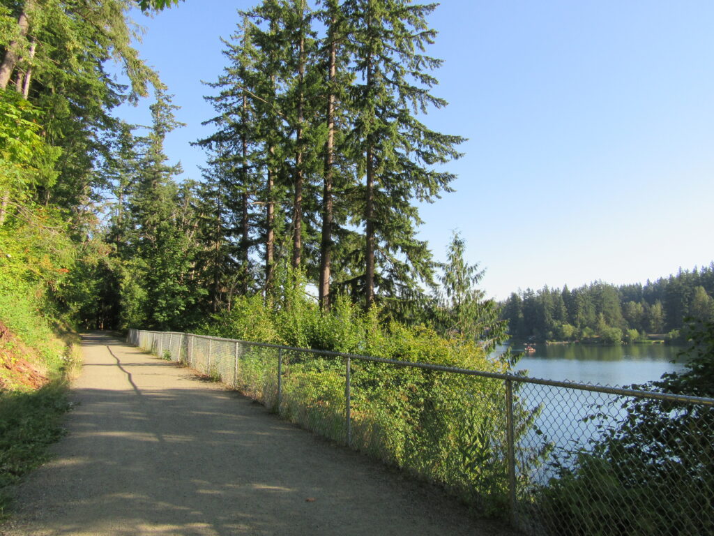
Green to Cedar Rivers Trail
Walk across Maple Valley through a “wilderness” park Quick Facts: Location: Maple Valley, WA Distance: 3.3 miles one way Contact: King County Parks Elevation Gain: 250 feet Notes: Dogs permitted on leash Trailhead directions: From Seattle follow I-5 to I-405 and take Exit 4 in Renton. Then drive SR 169 south for 11.3 miles turning…
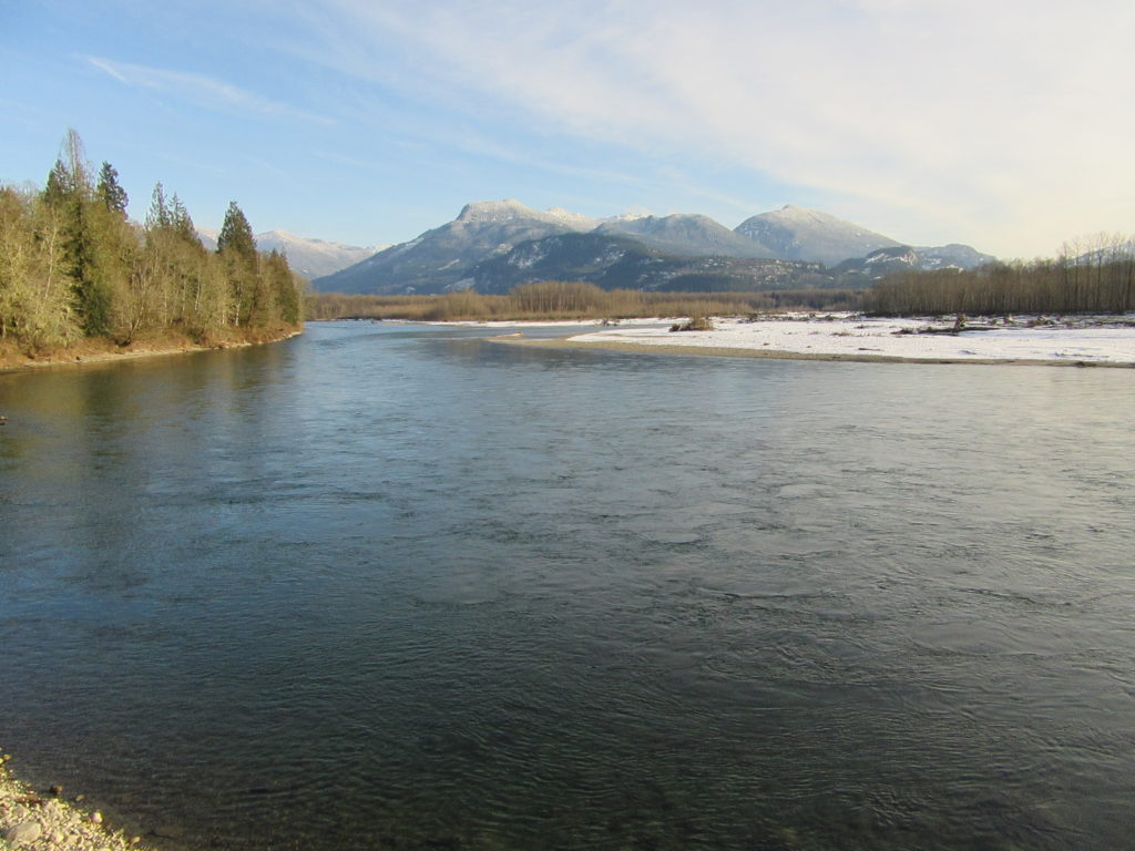
Read MoreSkagit-Sauk Reach Trail
Watch for eagles along an old remote rail line Quick Facts: Location: Skagit Valley Land Agency: Skagit County Parks Round Trip: 3.5 miles Elevation Gain: minimal Contact: Howard Miller Steelhead Park Detailed Information: Day Hiking North Cascades Second edition (Mountaineers Books) Notes: Dogs permitted on leash. Access: From Burlington (exit 230 on I-5), travel 38…
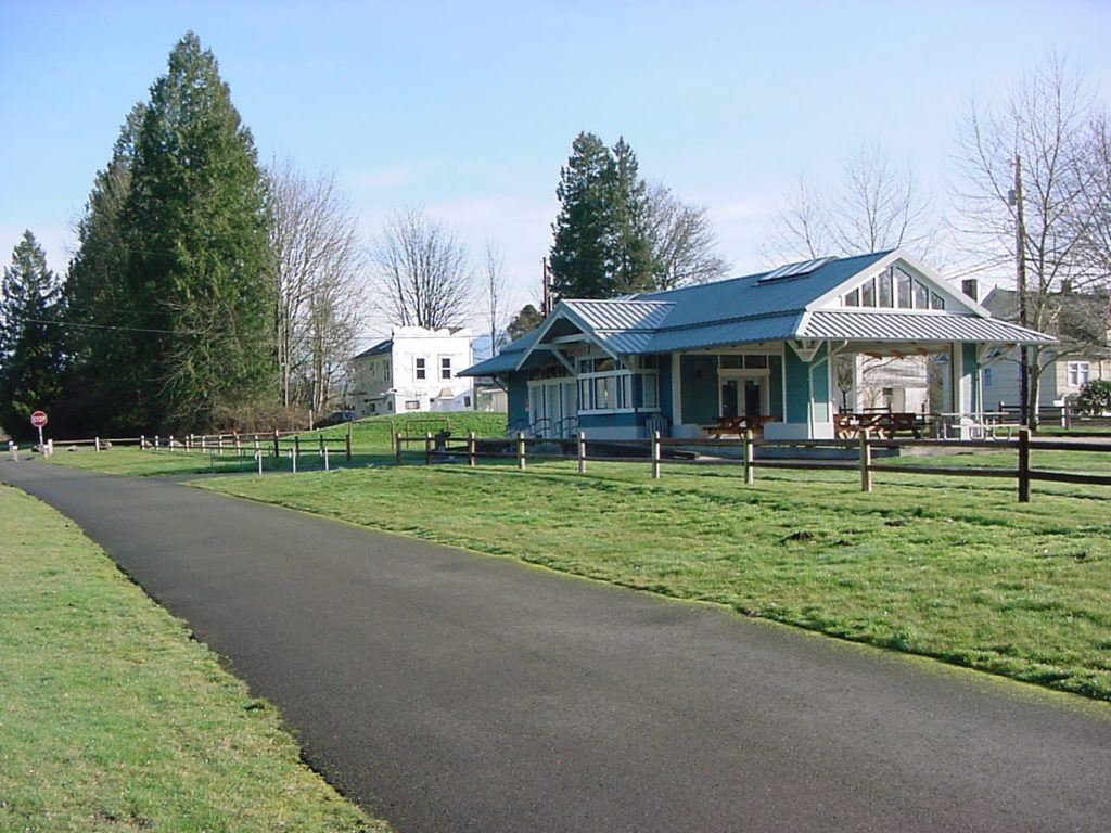
Read MoreWillapa Hills Trail─ Follow the Chehalis River back into time
Quick Facts: Location: Western Lewis County Land Agency: Washington State Parks Roundtrip: 10.0 miles Elevation Gain: 100 feet Access: From Chehalis (exit 77 on I-5) follow SR 6 west for 23 miles to the town of Pe Ell. At blinking red light turn left onto 6th Ave and proceed 0.1 mile to Trailhead at old…
Read MorePreston-Snoqualmie Trail — Overlooked rail trail between Snoqualmie Falls and Tiger Mountain
Quick Facts: Location: Preston and Snoqualmie Land Agency: King County Parks Distance: 11.0 miles roundtrip Elevation Gain: 500 feet Contact: King County Parks Notes: dogs on leash Access: From Seattle follow I-90 east to Exit 22. Then turn left on SE 82nd Street, cross freeway and turn right onto SE High Point Way. Drive 0.4…
Read MoreCentennial Trail: Haller Park to Lake Bryant–river, wetlands, and rural charm
Quick Facts: Location: Arlington Land Agency: Snohomish County Parks Roundtrip: 6.2 miles Elevation Gain: 100 feet Contact: Snohomish County Parks Notes: Paved trail is also open to bicycles and is wheelchair accessible; dogs must be leashed. Access: Southern Access is from Haller Park in Arlington near the junction of SR 9 and SR 530, four miles…
Read More


