Posts Tagged ‘Pacific Northwest Trail’
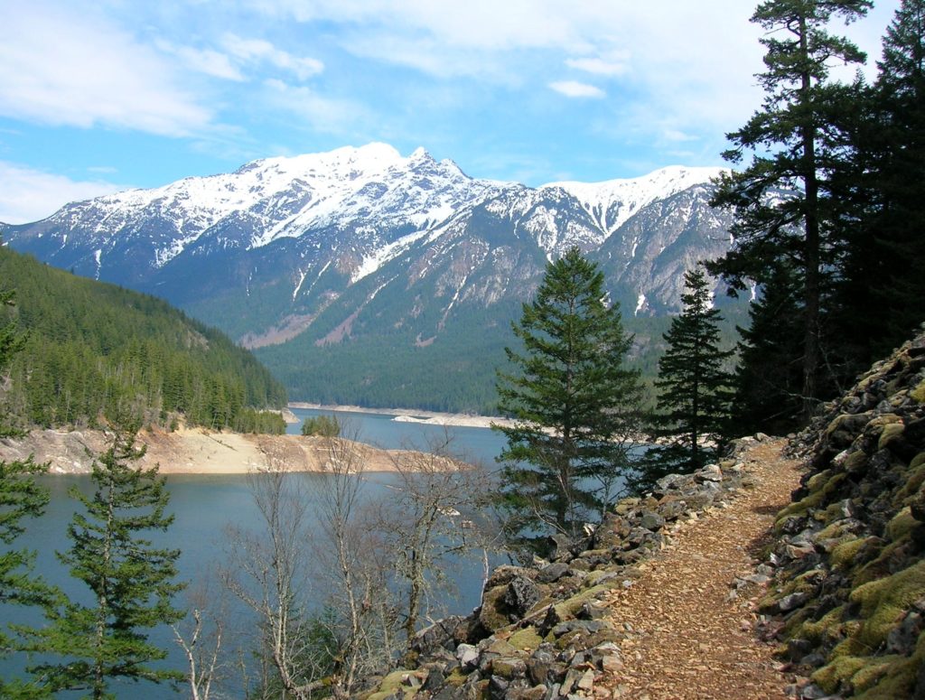
Happy Panther Trail–Take a joyful catwalk in the North Cascades
Quick Facts: Location: North Cascades Scenic Highway Land Agency: Ross Lake National Recreation Area, National Park Service Roundtrip: 11.8 miles Elevation gain: 1200 feet Green Trails Maps: Green Trails, North Cascades Ross Lake No. 16SX Contact: North Cascades National Park complex Notes: Dogs must be leashed Access: From Burlington follow SR 20 east to Marblemount. Then…
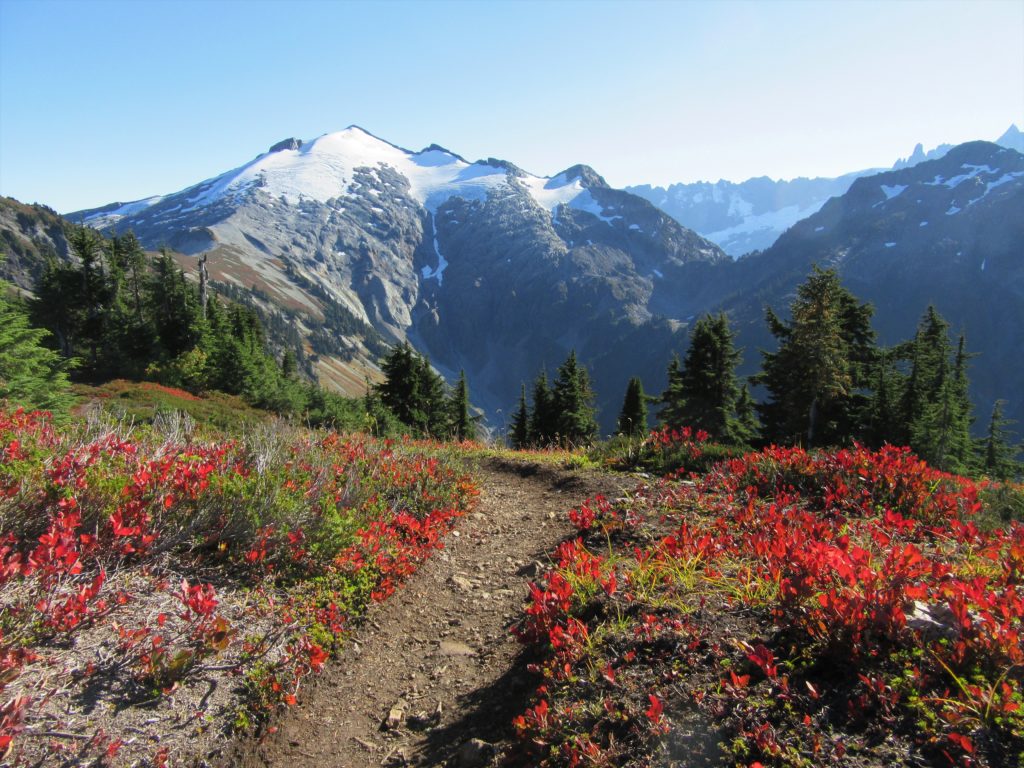
Read MoreHannegan Peak– Supreme views of snow and ice—and that’s the truth, Ruth!
Quick Facts: Location: North Cascades Mount Baker Wilderness Land Agency: Mount Baker-Snoqualmie National Forest Roundtrip: 10.4 miles Elevation gain: 3,100 feet Green Trails Map: Mount Baker Wilderness 13SX Contact: Glacier Public Service Center or Mount Baker Ranger District: Mount Baker-Snoqualmie National Forest Notes: Northwest Trail Pass or Interagency Pass required; Wilderness rules apply Access: From…
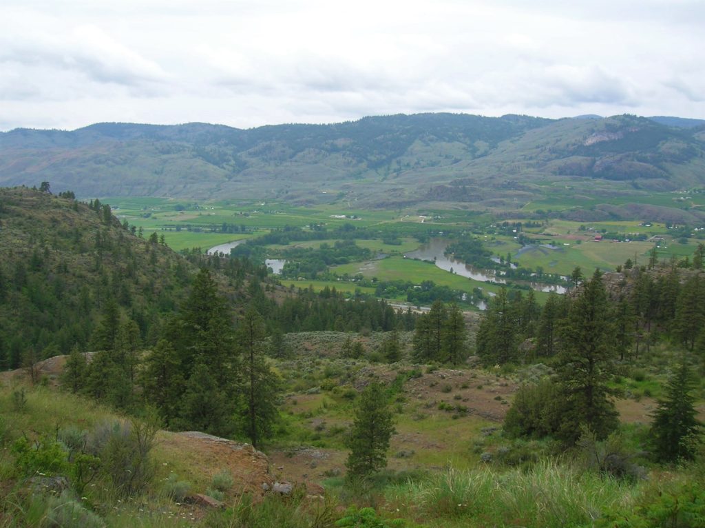
Read MoreWhistler Canyon-big on bighorn sheep and Okanogan River views
Location: Okanogan Valley near Oroville Land Agency: Okanogan-Wenatchee National Forest Roundtrip: 5.0 miles High Point: 1,950 feet Elevation gain: 1,250 feet Difficulty: moderate Contact: Pacific Northwest Trail Association Note: Dogs should be under strict control as to not disturb the bighorn sheep. Access: From Tonasket, follow US 97 north for 14.5 miles to trailhead turnoff…
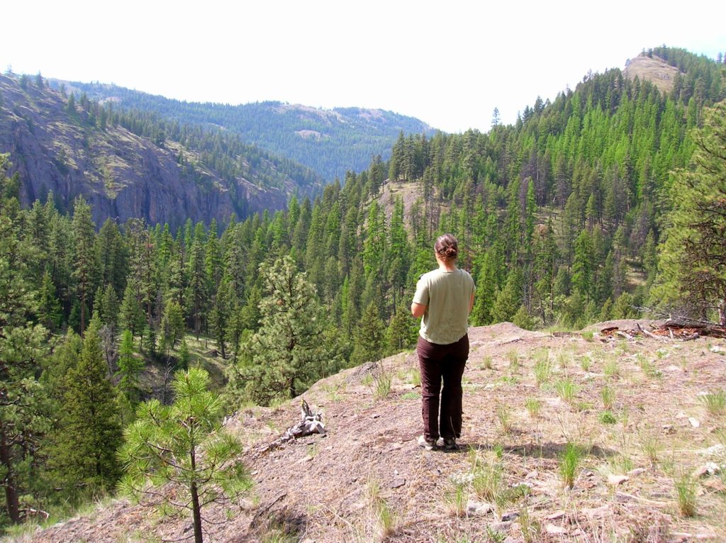
Read MoreThirteenmile Canyon– Wander one of wildest wilderness canyons in Eastern Washington
Location: Colville National Forest, Ferry County, Wa Land Agency: National Forest Service Roundtrip: 9.0 miles Elevation gain: 1,700 feet Contact: Colville National Forest, Republic Ranger District Notes: beware of rattlesnakes Access: From Republic follow SR 21 south 12.3 miles to trailhead located just within the Colville Indian Reservation Boundary. If coming from Wilbur, follow SR…
Read More


