Posts Tagged ‘Okanogan-Wenatchee National Forest’
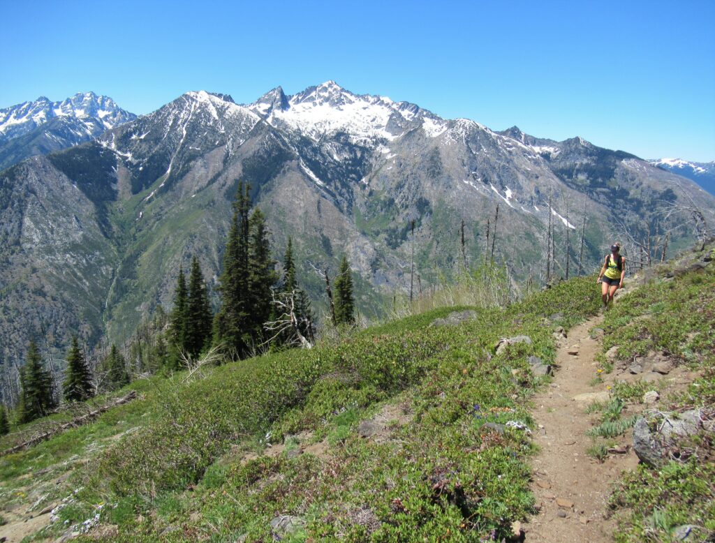
Fourth of July Creek—Celebrate Independence Day with these explosive views!
Quick Facts: Location: Central Cascades Land Agency: Okanogan-Wenatchee National Forest Roundtrip: 11.2 miles Elevation Gain: 4,700 feet Notes: rattlesnakes are common along lower portions of trail. Green Trails Map: Alpine Lakes East Stuart Range 208SX Contact: Wenatchee River Ranger District (Leavenworth) More information: Day Hiking Central Cascades 2nd edition (The Mountaineers Books) Access: From Leavenworth follow the…
Read MoreLake Ingalls
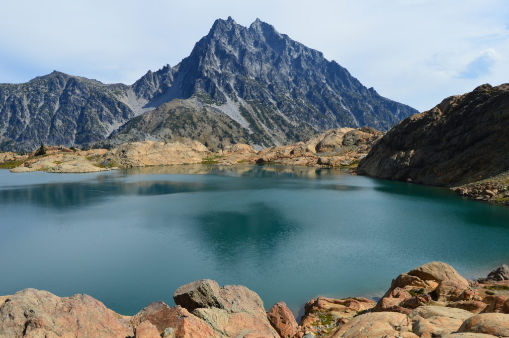
Capture breathtaking reflective views of Mount Stuart Quick Facts: Location: Alpine Lake Wilderness, Teanaway Country Round Trip: 9.2 miles Elevation Gain: 2600 feet Contact: Okanogan-Wenatchee National Forest, Cle Elum Ranger District, https://www.fs.usda.gov/okawen/Detailed Information: 100 Classic Hikes Washington (Mountaineers Books) Notes: Northwest Forest Pass required; dogs prohibited; wilderness rules apply; no camping at lake. Green Trails…
Read MoreLittle Giant Pass
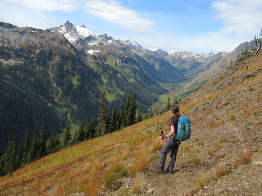
Shortest (but not easy) portal to the fabled Napeequa Valley Quick Facts: Location: Chiwawa River Valley Round Trip: 10.4 miles Elevation Gain: 4100 feet Contact: Okanogan-Wenatchee National Forest, Wenatchee River Ranger District, https://www.fs.usda.gov/okawen/Detailed Information: Day Hiking Central Cascades 2nd edition (Mountaineers Books) Notes: Wilderness Rules in effect; Chiwawa River must be forded—dangerous in high water…
Read MoreWest Fork Methow River
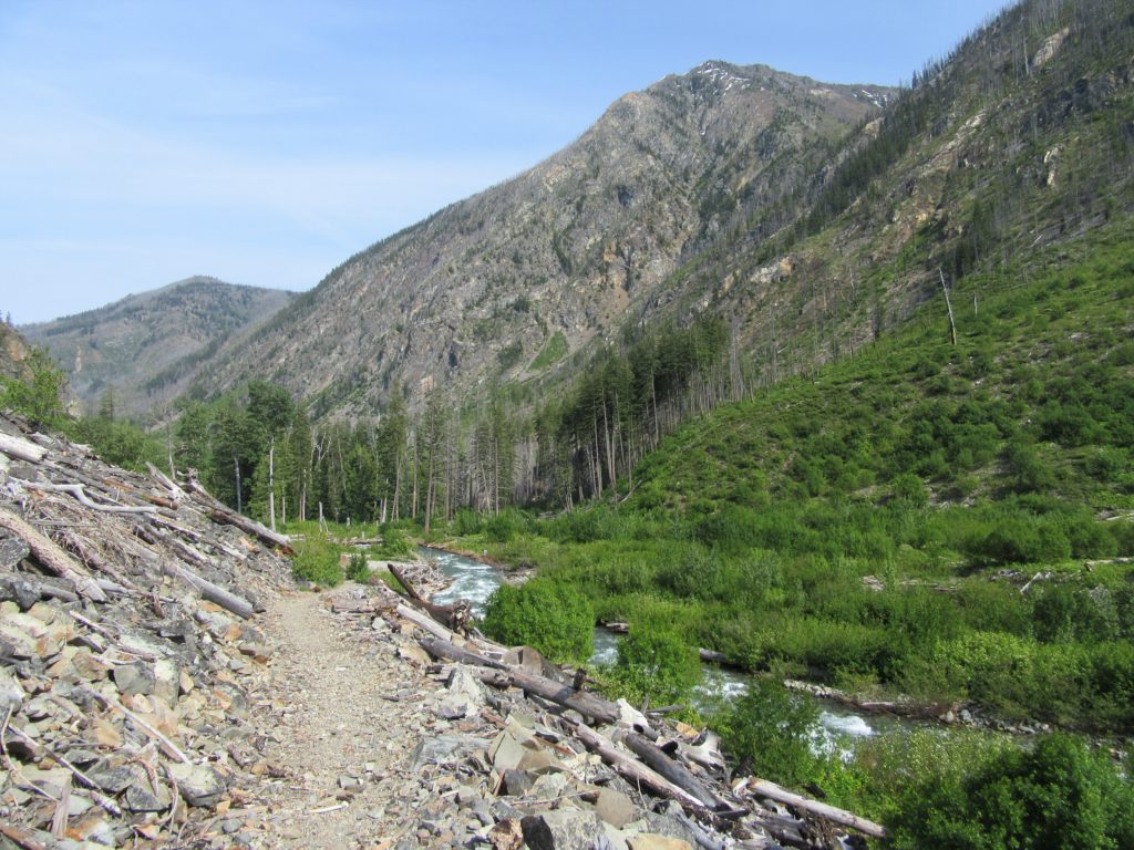
Follow a trail less traveled along a roaring waterway Quick Facts: Location: Methow Valley Round Trip: 5.0 miles Elevation Gain: 450 feet Contact: Okanogan-Wenatchee National Forest, Methow Valley Ranger District Detailed Information: Day Hiking North Cascades 2nd edition (Mountaineers Books) Notes: Northwest Forest Pass or Interagency Pass required; watch for rattlesnakes Green Trails Map: Methow…
Read MoreWhistler Canyon-big on bighorn sheep and Okanogan River views
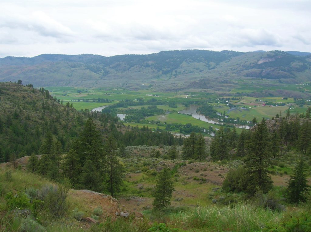
Location: Okanogan Valley near Oroville Land Agency: Okanogan-Wenatchee National Forest Roundtrip: 5.0 miles High Point: 1,950 feet Elevation gain: 1,250 feet Difficulty: moderate Contact: Pacific Northwest Trail Association Note: Dogs should be under strict control as to not disturb the bighorn sheep. Access: From Tonasket, follow US 97 north for 14.5 miles to trailhead turnoff…
Read MoreAlpine Lookout –Wallow in good views and a chance to see a mountain goat or two
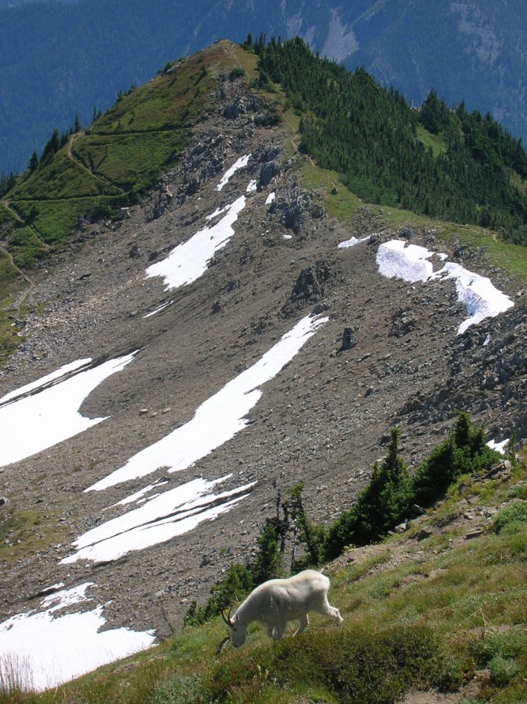
Quick Facts:Location: Stevens Pass-Lake Wenatchee regionLand Agency: Okanogan-Wenatchee National ForestRound Trip: 10.0 milesElevation Gain: 2,600 feetContact: Wenatchee River Ranger District (Leavenworth): Okanogan-Wenatchee National Forest Green Trails Map: Wenatchee Lake- No. 145Recommended Guidebook: Day Hiking Central Cascades (Mountaineers Book)Notes: NW Forest Pass or Interagency Pass Required.Several miles of trails on this hike are also open to mountain bikes…
Read MoreDriveway Butte– Give your calves a workout hiking this steep old cattle drive
Quick Facts: Location: Methow Valley Land Agency: Okanogan-Wenatchee National Forest Round Trip: 8.6 miles Elevation Gain: 3000 feet Contact: Okanogan-Wenatchee National Forest Green Trails Map: Green Trails Washington Pass No. 50 Recommended Guidebook: Day Hiking North Cascades 2nd Edition Notes: Northwest Forest Pass or Interagency Pass required Access: From Marblemount follow State Route 20 east…
Read MoreSunrise Lake─Golden larches brighten the shores of this alpine lake
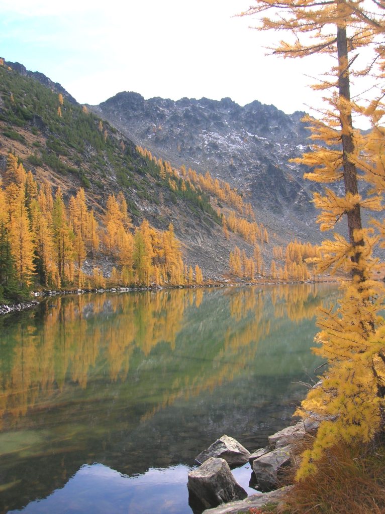
Quick Facts: Location: North Cascades – Sawtooth Ridge Land Agency: U.S. Forest Service Roundtrip: 13.0 miles Elevation Gain: 3,730 feet Green Trails Map: Prince Creek, WA- No. 115 Recommended Resource: Day Hiking North Cascades (Romano; Mountaineers Books) Access: From Twisp drive SR 20 east for 2.0 miles. Continue south on SR 153 for 12.0 miles turning right…
Read MoreRock Mountain via Snowy Creek—Big sky views and perhaps a goat or two
Quick Facts: Location: Nason Ridge near Stevens Pass Land Agency: Okanogan-Wenatchee National Forest Roundtrip: 9.8 miles Elevation Gain: 3,250 feet Green Trails Map: Alpine Lakes Stevens Pass Map 176S Access: From Everett head east on US 2. Four miles past Stevens Pass turn left onto Smith Brook Road (FR 6700). Follow for 6.0 miles turning…
Read MoreCooney Lake–larches at the edge of the North Cascades
Location: Sawtooth Ridge Roadless Area Land Agency: Okanogan-Wenatchee National Forest Roundtrip: 16 miles High Point: 7,300 feet Elevation gain: 3,800 feet Difficulty: moderate Green Trails Maps: Prince Creek, WA- No. 115 Contact: Methow Valley Ranger District: Okanogan-Wenatchee National Forest Notes: Northwest Forest Pass Required Access: From Twisp follow SR 153 south turning right onto Gold…
Read More