Posts Tagged ‘North Cascades Highway’
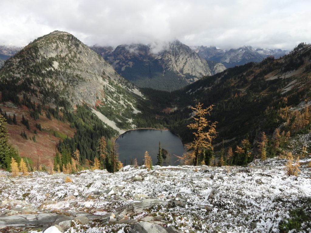
Maple Pass — Lofty North Cascades Loop lined with larches and long ranging vistas
Quick Facts: Location: North Cascades Highway –Rainy Pass Land Agency: Okanogan-Wenatchee National Forest Roundtrip: 7.2 miles Difficulty: Moderate Elevation Gain: 2,000 feet Green Trails Maps: Ross Lake North Cascades 16SX Access: From I-5 north (Exit 230 ) in Burlington, head east on SR 20 (North Cascades Highway) for 98 miles to Rainy Pass near Milepost 158. Turn right into the…
Read MorePyramid Lake–A puny lake, but monumental surrounding forest
Quick Facts: Location: Ross Lake NRA, North Cascades Scenic Highway Land Agency: National Park Service Roundtrip: 4.5 miles High Point: feet Elevation gain: 1500 feet Difficulty: moderate Contact: North Cascades National Park Green Trails Map: North Cascades Ross Lake 16SX Notes: Dogs permitted on leash. Access: From Marblemount follow the North Cascades Highway (SR 20) east for 21 miles to trailhead located…
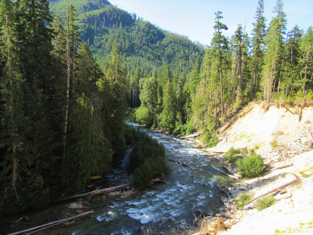
Read MoreThunder Creek– Stroll alongside a tumultuous creek through a striking old-growth forest
Quick Facts: Location: Ross Lake National Recreation Area Land Agency: United States National Park Service Distance: 12.0 miles Elevation Gain: 750 feet Contact: North Cascades National Park Complex Green Trails Map: North Cascades Ross Lake 16SX Notes: Dogs permitted on leash, permits required for camping Access: From Marblemount drive State Route 20 east for 24…
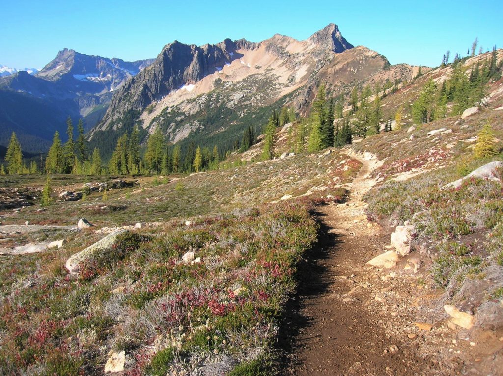
Read MoreCutthroat Pass — Shiny granite, golden larches and splendid vistas
Quick Facts: Location: North Cascades Highway Land Agency: Okanogan-Wenatchee National Forest Round Trip: 10.0 miles Elevation Gain: 1850 feet Contact: Okanogan-Wenatchee National Forest, Methow Valley Ranger District, Green Trails Map: Washington Pass No. 50 Recommended Guidebook: Day Hiking North Cascades 2nd edition (Mountaineers Books) Notes: NW Forest Pass or Interagency Pass required. Access: From Marblemount,…
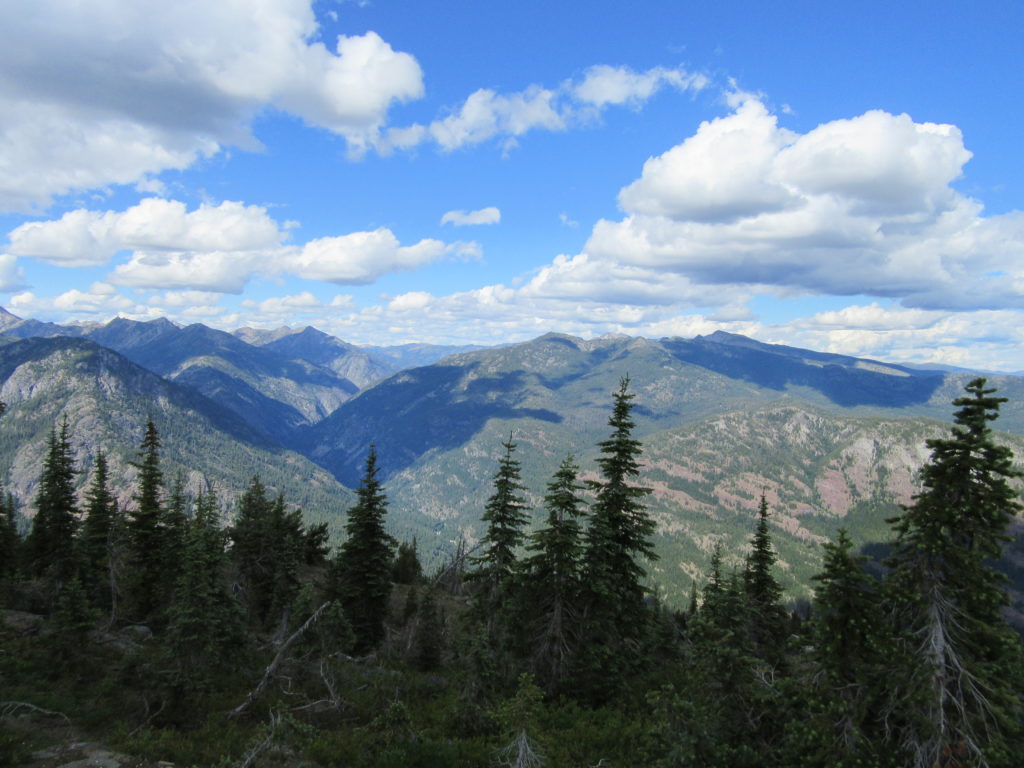
Read MoreDriveway Butte– Give your calves a workout hiking this steep old cattle drive
Quick Facts: Location: Methow Valley Land Agency: Okanogan-Wenatchee National Forest Round Trip: 8.6 miles Elevation Gain: 3000 feet Contact: Okanogan-Wenatchee National Forest Green Trails Map: Green Trails Washington Pass No. 50 Recommended Guidebook: Day Hiking North Cascades 2nd Edition Notes: Northwest Forest Pass or Interagency Pass required Access: From Marblemount follow State Route 20 east…
Read More


