Posts Tagged ‘North Cascades’
Barlow Point–Little known lookout site on Mountain Loop Highway
Location: Mountain Loop Highway near Granite Falls Land Agency: Mount Baker-Snoqualmie National Forest Roundtrip: 2.5 miles High Point: 3,222 feet Elevation gain: 850 feet Difficulty: moderate Green Trails Maps: Mountain Loop Highway 111SX Contact: Darrington Ranger District: Mount Baker Snoqualmie National Forest Note: Northwest Forest Pass or Inter-agency Pass required Access: From Granite Falls, follow…
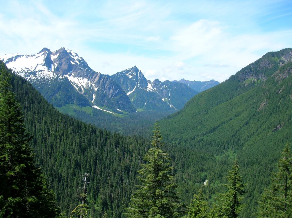
Read MoreWhite Chuck Cinder Cone — Coolest volcanic cone north of Lassen
Quick Facts: Location: Glacier Peak Wilderness,Mountain Loop Highway near Darrington Land Agency: Mount Baker-Snoqualmie National Forest Roundtrip: 23.0 miles Elevation gain: 5,200 feet Green Trails Map: Mountain Loop Highway 111SX Contact: Darrington Ranger District: Mount Baker Snoqualmie National Forest (360) 436-1155 Notes: NW Forest Pass or Interagency Pass required Access: From Darrington, head south 16…
Read MorePyramid Lake–A puny lake, but monumental surrounding forest
Quick Facts: Location: Ross Lake NRA, North Cascades Scenic Highway Land Agency: National Park Service Roundtrip: 4.5 miles High Point: feet Elevation gain: 1500 feet Difficulty: moderate Contact: North Cascades National Park Green Trails Map: North Cascades Ross Lake 16SX Notes: Dogs permitted on leash. Access: From Marblemount follow the North Cascades Highway (SR 20) east for 21 miles to trailhead located…
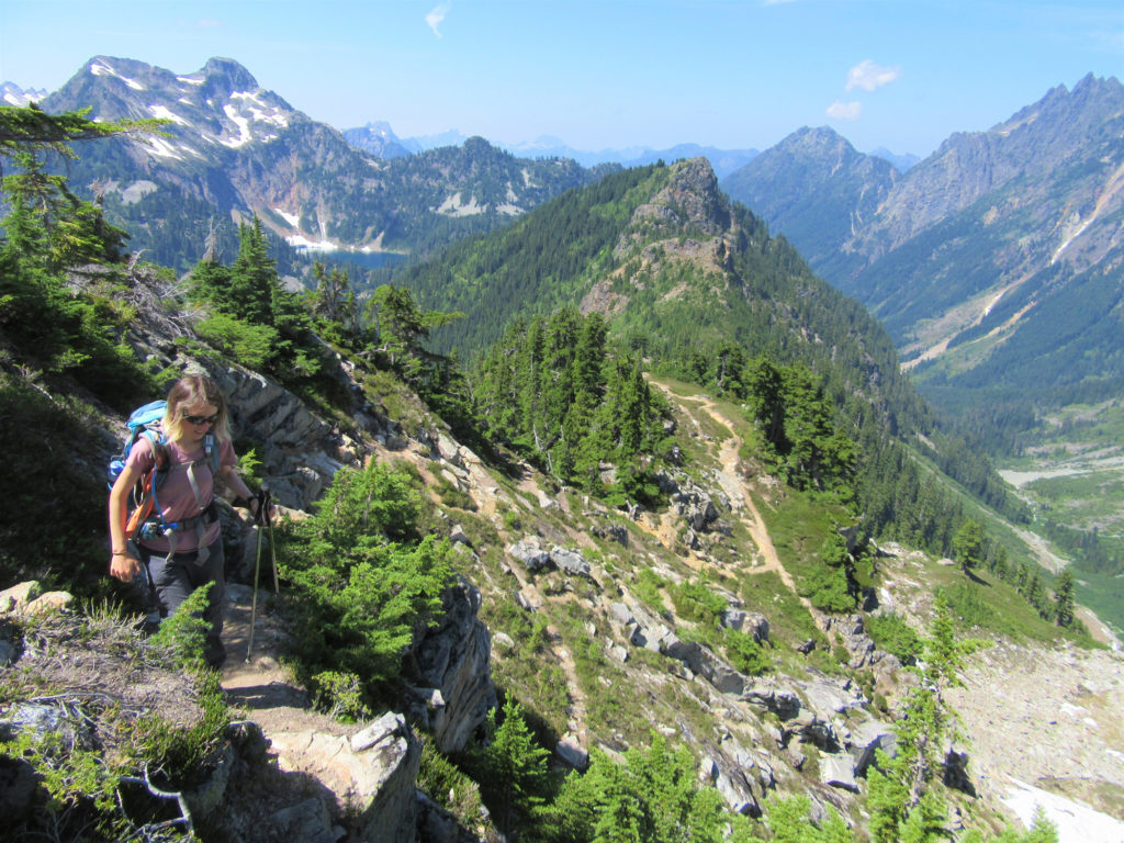
Read MoreHappy Panther Trail–Take a joyful catwalk in the North Cascades
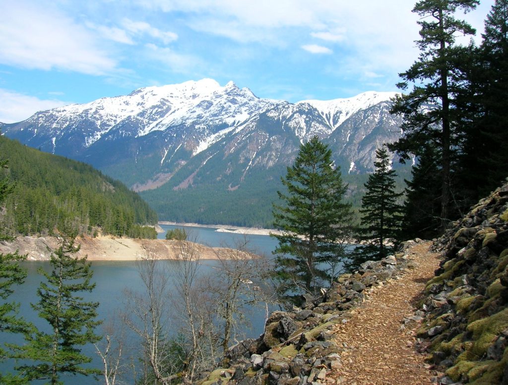
Quick Facts: Location: North Cascades Scenic Highway Land Agency: Ross Lake National Recreation Area, National Park Service Roundtrip: 11.8 miles Elevation gain: 1200 feet Green Trails Maps: Green Trails, North Cascades Ross Lake No. 16SX Contact: North Cascades National Park complex Notes: Dogs must be leashed Access: From Burlington follow SR 20 east to Marblemount. Then…
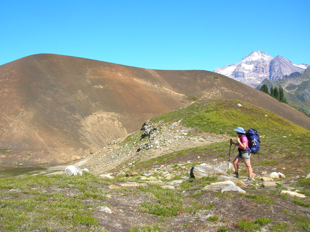
Read MoreFrosty Mountain–Cool views and alpine larches, too!
Quick Facts: Location: North Cascades, E.C. Manning Provincial Park Land Agency: BC Parks Roundtrip: 13.2 miles Elevation Gain: 3820 feet Contact: E.C. Manning Provincial Park Notes: Dogs permitted on leash. Practice Leave No Trace principles. Access: From Vancouver BC follow Trans-Canada Highway 1 east to Hope. Then continue east on BC 3 (Crowsnest Highway) for 37.5 miles and…
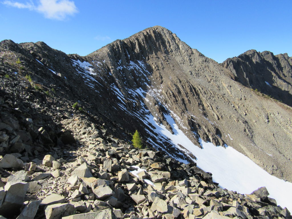
Read MoreTwin Lakes (Monte Cristo) — Follow a rugged old miner’s path to a remote basin
Quick Facts: Location: Mountain Loop Highway near Barlow Pass Land Agency: Mount Baker-Snoqualmie National Forest Roundtrip: 17.0 miles Elevation gain: 3,900 feet Green Trails Map: Mountain Loop Highway no. 111SX Contact: Darrington Ranger District: Mount Baker Snoqualmie National Forest Notes: Northwest Forest Pass or Interagency Pass required; A washout at the Twin Bridges requires…
Read MoreMonte Cristo–Count down is near for clean-up of historic mining town
Quick Facts Location: Mountain Loop Highway near Granite Falls Land Agency: Mount Baker-Snoqualmie National Forestuntain Loop Highway near Granite Falls Roundtrip: 8.0 miles High Point: 2,800 feet Elevation gain: 500 feet Difficulty: moderate Green Trails Maps: Sloan Peak, WA- No. 111; Monte Cristo, WA- No. 143 Contact: Darrington Ranger District: Mount Baker Snoqualmie National Forest…
Read MoreNorth Fork Sauk Falls–Thundering Cataract is a spectacular spectacle in the spring
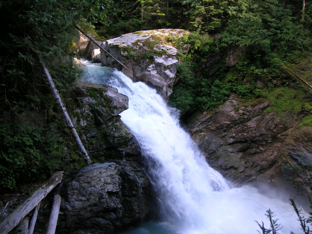
Location: Mountain Loop Highway near Darrington Land Agency: MountBaker-SnoqualmieNational Forest Roundtrip: .5 mile Elevation gain: 100 feet Contact: Darrington Ranger District: Mount Baker Snoqualmie National Forest (360) 436-1155 Green Trails Maps: Sloan Peak, WA-No. 111 Access: From Arlington, follow SR 530 east for 28 miles to Darrington. Turn right onto the Mountain Loop Highway and…
Read More