Posts Tagged ‘mountain biking’
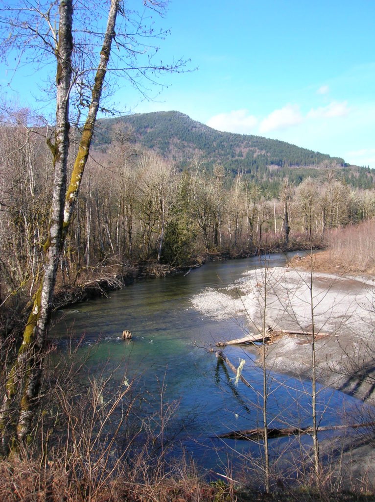
Whitehorse Trail East–Hike along the North Fork Stilly
Quick Facts: Location: SR 530 Darrington Land Agency: Snohomish County Parks Roundtrip: 14 miles Elevation gain: 160 feet Difficulty: Easy Contact: Snohomish County Parks Green Trails Map: Mountain Loop Highway no. 111SX Recommended Guidebook: Day Hiking North Cascades (Mountaineers Books) Notes: Dogs allowed on leash Access: Take exit 208 off of I-5 and drive 25 miles east…
Read MoreGreen to Cedar Rivers Trail
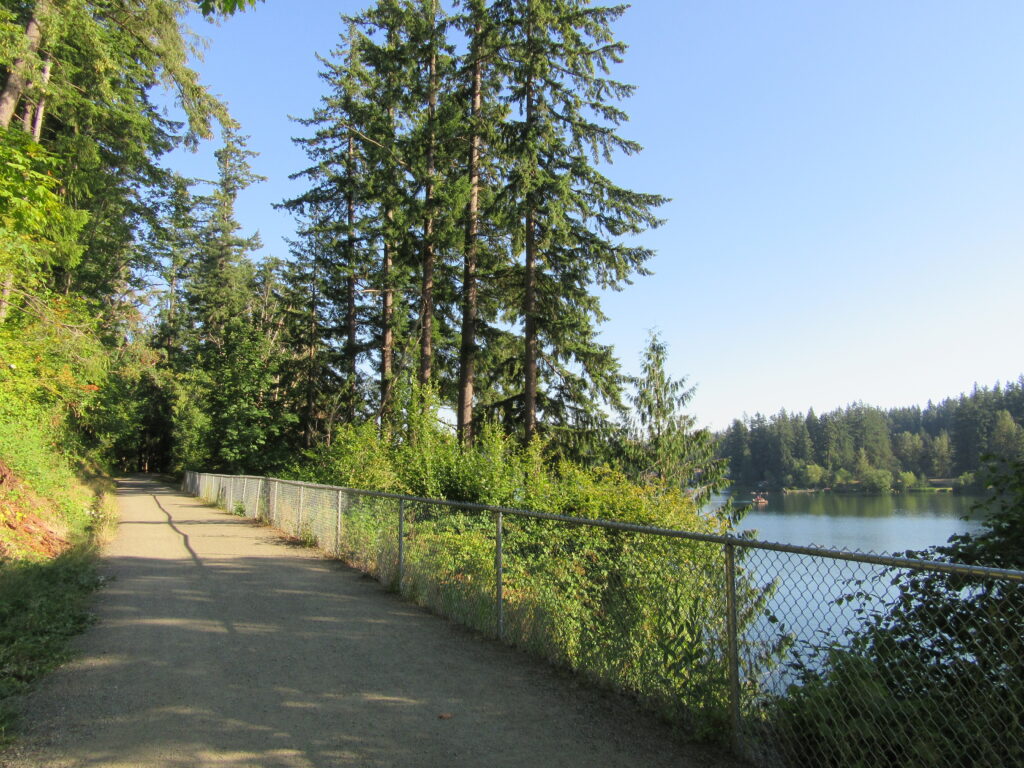
Walk across Maple Valley through a “wilderness” park Quick Facts: Location: Maple Valley, WA Distance: 3.3 miles one way Contact: King County Parks Elevation Gain: 250 feet Notes: Dogs permitted on leash Trailhead directions: From Seattle follow I-5 to I-405 and take Exit 4 in Renton. Then drive SR 169 south for 11.3 miles turning…
Read MoreChristmas Lake and Cedar Butte- Bad tidings and spelling
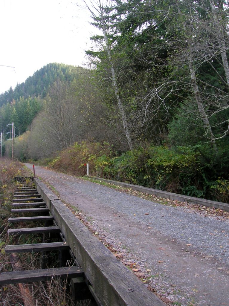
Quick Facts: Location: Snoqualmie Valley near North Bend Land Agency: Washington State Parks Roundtrip: 4.2 miles Elevation Gain: 900 feet Green Trails Map: Rattlesnake Mountain Upper Snoqualmie Valley 205S Access: From Seattle take I-90 east to exit 32 in North Bend turning right (south) onto 436th Ave SE which soon becomes Cedar Falls Road. Follow for 3.1…
Read MoreSoaring Eagle Regional Park- take a sleigh ride!
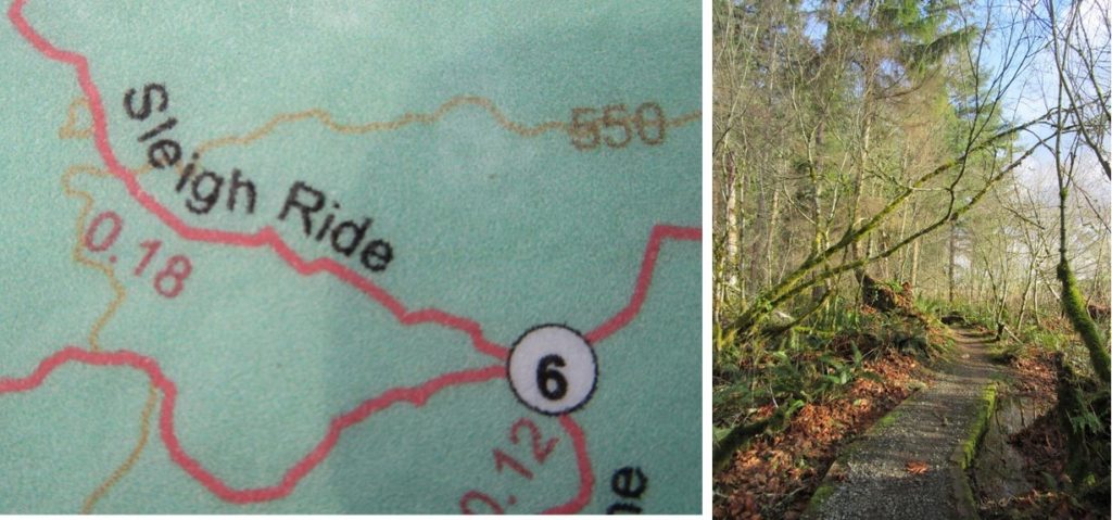
Quick Facts: Location: Sammamish Plateau Land Agency: King County Parks Distance: more than 12.0 miles of trails Elevation Gain: up to 325 feet Contact: King County Parks Notes: dogs permitted on leash; trails also open to horses and mountain bikes Map: Click Here Recommended Guidebook: Urban Trails Eastside (Mountaineers Books) Access: From Bellevue follow SR…
Read More


