Posts Tagged ‘Mount St. Helens National Volcanic Monument’
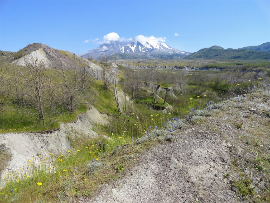
The Hummocks — Hike through the former heart of Mount St. Helens
Quick Facts: Location: Spirit Lake Highway, Mount St Helens National Volcanic Monument Land Agency: National Forest Service Roundtrip: 2.5 miles Elevation Gain: 250 feet Contact: Mount St Helens National Volcanic Monument Green Trails Map: Mount St Helens 332S Notes: Northwest Forest Pass (or interagency pass) required; dogs prohibited; off trail travel prohibited. Practice Leave No Trace…
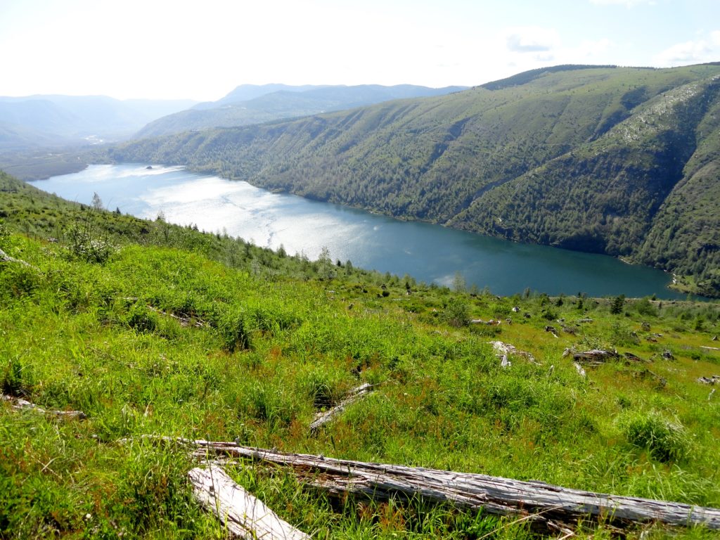
Read MoreSouth Coldwater Ridge — Elk, toppled tractors, and a stunning view of a volcano-formed lake
Quick Facts: Location: Spirit Lake Highway Mount St. Helens West Land Agency: Mount St. Helens National Volcanic Monument Roundtrip: 6.8 miles Elevation gain: 1525 feet Difficulty: moderate Green Trails Map: Mount St Helens 332S Recommended Guidebook: Day Hiking Mount St Helens Contact: Mount St. Helens National Volcanic Monument Access: From Castle Rock follow SR 504 east…
Read MoreSasquatch Loop — Snowshoe to a Snotel on Mount St. Helens
Quick Facts: Location: Mount St Helens National Volcanic Monument Land Agency: Gifford Pinchot National Forest Roundtrip: 9.9 miles Elevation gain: 1,000 feet Contact: Mount St Helens National Volcanic Monument Green Trails Map: Green Trails Mount St Helens 332S Notes: Sno-park Pass required. Do not snowshoe in cross-country ski tracks and be aware of snowmobiles on…
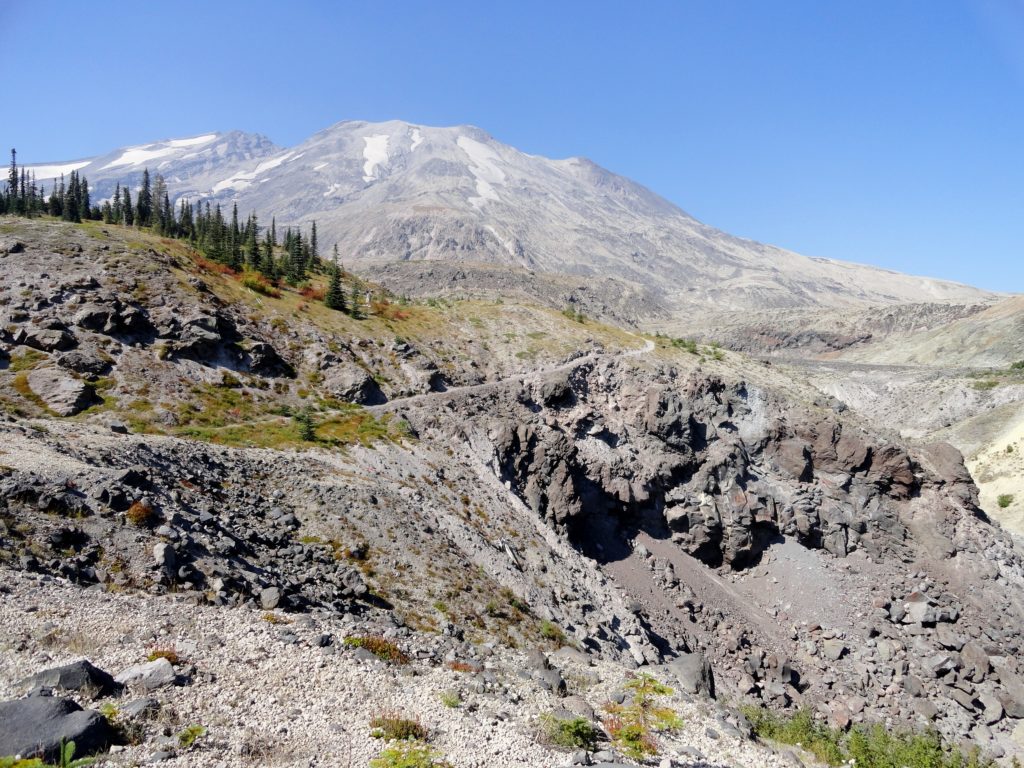
Read MoreApe Canyon–Hike through old-growth forest above a swath of destruction
Quick Facts: Location: Mount St. Helens National Volcanic Monument Land Agency: National Forest Service Roundtrip: 9.4 miles Elevation Gain: 1,550 feet Contact: Mount St. Helens National Volcanic Monument Green Trails Map: Mount St Helens 332 Recommended Resource: Day Hiking Mount St Helens (Mountaineers Books) Notes: Northwest Forest Pass or Interagency Pass required. Trail is also open to mountain…
Read More


