Posts Tagged ‘Kettle River Range’
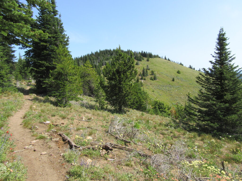
Wapaloosie Mountain–a wapaloosie of a peak indeed!
Location: Kettle River Range Land Agency: National Forest Service Roundtrip: 6.0 miles Elevation gain: 2,000 feet Contact: Colville National Forest Access: From Republic, head east on SR 20 for 21 miles turning left onto FR 2030 (Albion Hill Road). From Kettle Falls, head west on SR 20 for 22 miles, turning right onto FR 2030. Follow FR…
Read MoreSherman Peak Loop– In general, the views are great
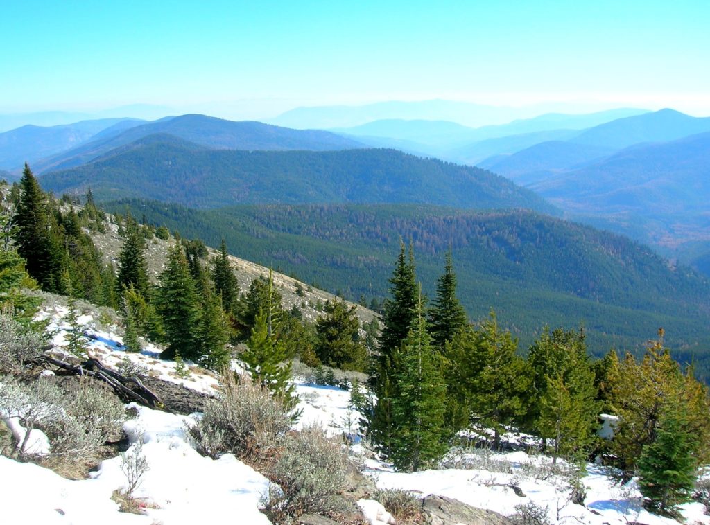
Quick Facts: Location: Kettle River Range, Ferry County Land Agency: National Forest Service Roundtrip: 6.0 miles Elevation gain: 1200 feet Contact: Colville National Forest, Republic Ranger District Notes: Hunting season has begun, wear orange Access: From Republic, head east on SR 20 for 16.8 miles to Sherman Pass. Turn left and follow access road .1…
Read MoreCopper Butte via Old Stage Trail– Take a historic route to the rooftop of the Kettle River Range
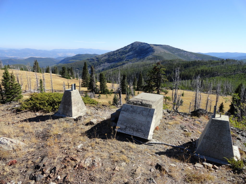
Quick Facts: Location: Kettle River Range Land Agency: Colville National Forest Roundtrip: 6.0 miles Elevation Gain: 1615 feet Contact: Colville National Forest, Three Rivers Ranger District-Kettle Falls Access: From Republic, head east on SR 20 for 21 miles turning left onto FR 2030 (Albion Hill Road). From Kettle Falls, head west on SR 20 for 22 miles turning…
Read MoreColumbia Mountain─Historic peak overflows with autumn colors
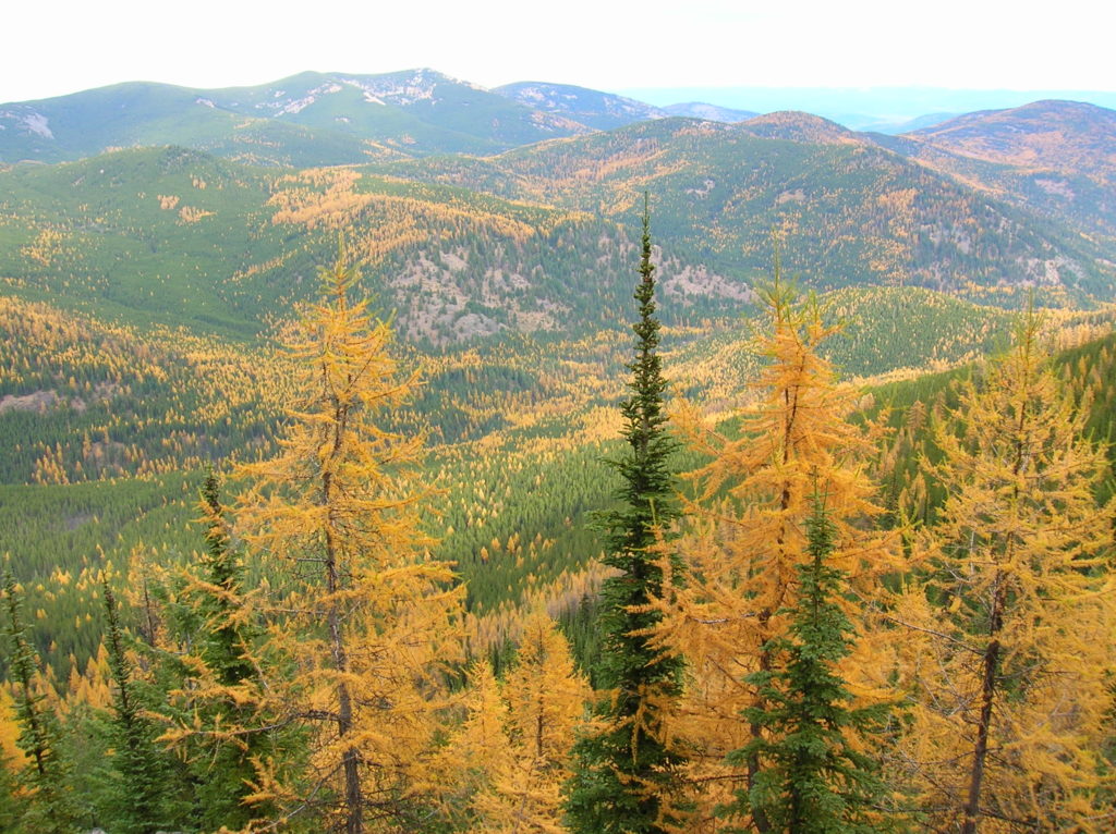
Quick Facts: Location: Kettle River Range, Sherman Pass Land Agency: Colville National Forest Roundtrip: 8.0 miles Elevation Gain: 1,360 feet Access: From Republic travel east 17 miles on SR 20 to trailhead at Sherman Pass. From Kettle Falls, follow SR 20 for 26 west miles to Sherman Pass. Contact: Colville National Forest, Republic Ranger District Good…
Read MoreBarnaby Buttes
Mega-fauna hot spot in the Kettle River Range Quick Facts: Location: Kettle River Range Land Agency: National Forest Service Distance: 7.4 miles Elevation Gain: 1975 feet Contact: Colville National Forest Three Rivers Ranger District Recommended Guidebook: Day Hiking Eastern Washington (Mountaineers Books) Access: From Kettle Falls, travel west on SR 20 for 14 miles turning…
Read MoreJungle Hill–a scenic and challenging boogie to the Kettle Crest
Location: Colville National Forest, near Republic Land Agency: US Forest Service Roundtrip: 8.0 miles High Point: 6,550 feet Elevation gain: 2,250 feet Difficulty: moderate Recommended Guidebook: Day Hiking Eastern Washington Contact: Colville National Forest Access: From Republic, head east on SR 20 for 25 miles turning left onto FR 2030 (Albion Hill Road). From Kettle…
Read MoreThirteenmile Canyon– Wander one of wildest wilderness canyons in Eastern Washington
Location: Colville National Forest, Ferry County, Wa Land Agency: National Forest Service Roundtrip: 9.0 miles Elevation gain: 1,700 feet Contact: Colville National Forest, Republic Ranger District Notes: beware of rattlesnakes Access: From Republic follow SR 21 south 12.3 miles to trailhead located just within the Colville Indian Reservation Boundary. If coming from Wilbur, follow SR…
Read MoreSwan Lake and Butte–listen to the cry of the loon
Quick Facts: NOTE: Road to Swan Lake has been damaged due to winter storms and may not be open. Call Republic Ranger District for road status (509) 775-7400 Location: Colville National Forest, near Republic Land Agency: US Forest Service Roundtrip: 3.1 miles Elevation gain: 360 feet Contact: Colville National Forest Notes: Dogs permitted on leash, but…
Read More