Posts Tagged ‘historic hike’
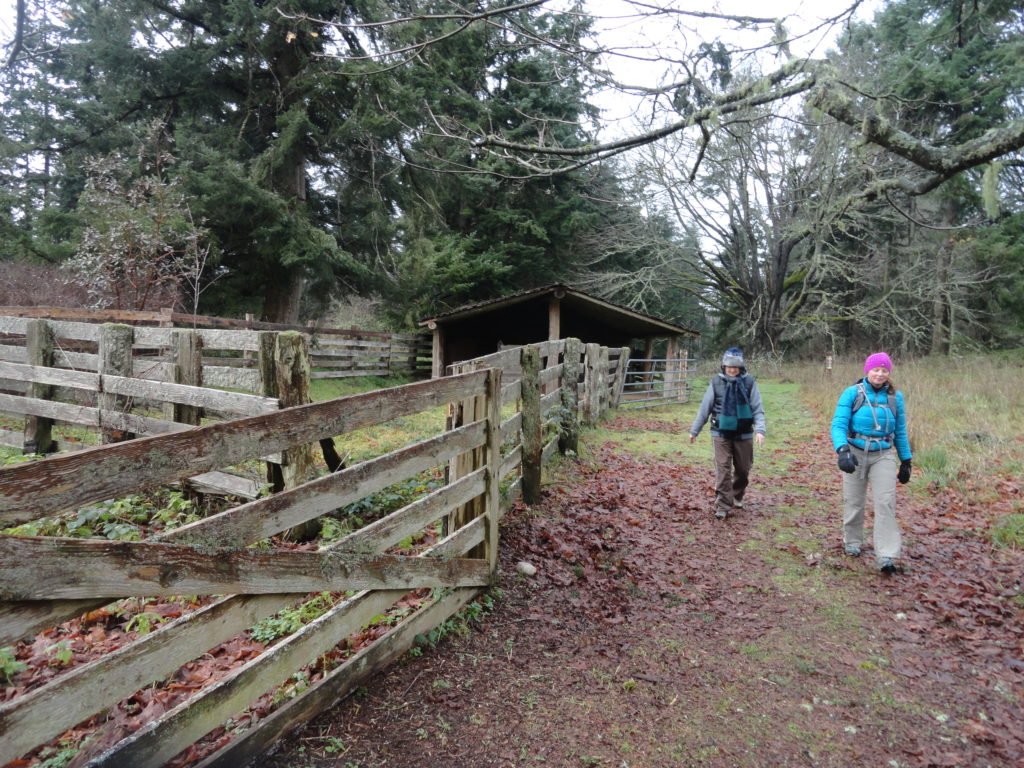
Japanese Gulch — Historic Ravine laced with trails
Quick Facts: Location: Mukilteo Land Agency: Mukilteo Recreation Department Roundtrip: More than 7 miles of trails Elevation Gain: up to 500 feet Contact: Mukilteo Recreation Department Notes: Trail system is currently rough in places and unsigned. Access: From Everett, head west on Mukilteo Blvd (which becomes 5th Street in Mukilteo) for to parking and trailhead on…
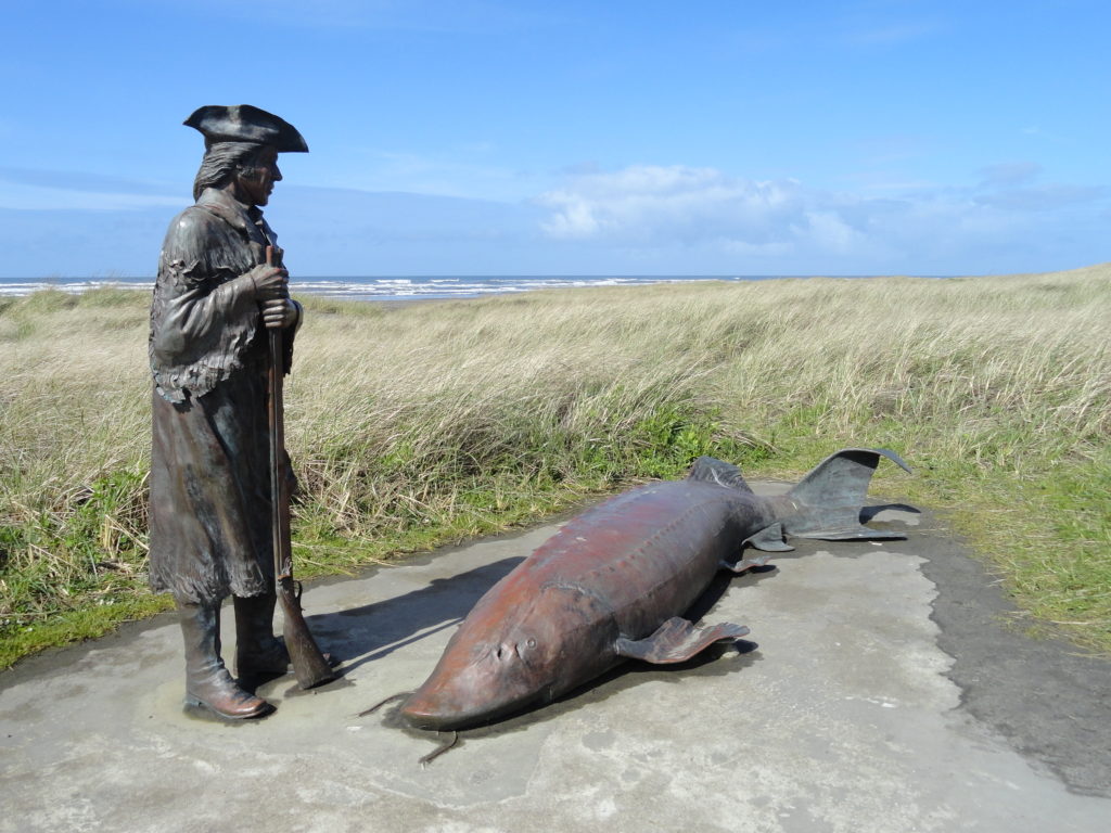
Read MoreDiscovery Trail – Follow Lieutenant Clark along the Long Beach Peninsula
Quick Facts: Location: Long Beach Peninsula Land Agency: Washington State Parks and others Roundtrip: 8.2 miles on way Elevation Gain: 200 feet Contact: Long Beach Peninsula Visitors Bureau Access: For the southern trailhead, follow US 101 to Ilwaco. Turn left onto Elizabeth Ave and after two blocks turn right onto Howerton Ave. Park on Howerton Ave. Trail begins…
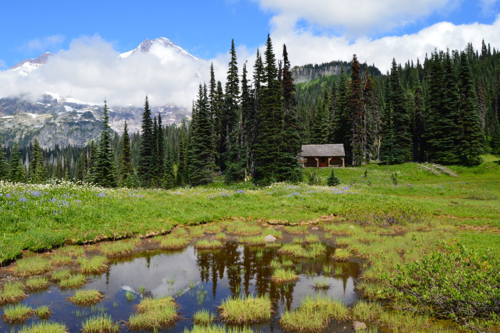
Read MoreIndian Henry’s Hunting Ground via Kautz Lake — Head to a fabled land of wildflowers!
Quick Facts: Location: Nisqually Valley, Mount Rainier National Park Land Agency: National Park Service Roundtrip: 11.6 miles Elevation Gain: 3200 feet Contact: Mount Rainier National Park Green Trails Map: Mount Rainier National Park 269S Notes: National Park Entrance Fee or Interagency Pass required; Dog prohibited Timed entry pass required for entrance into Mount Rainier National Park (Longmire and Sunrise…
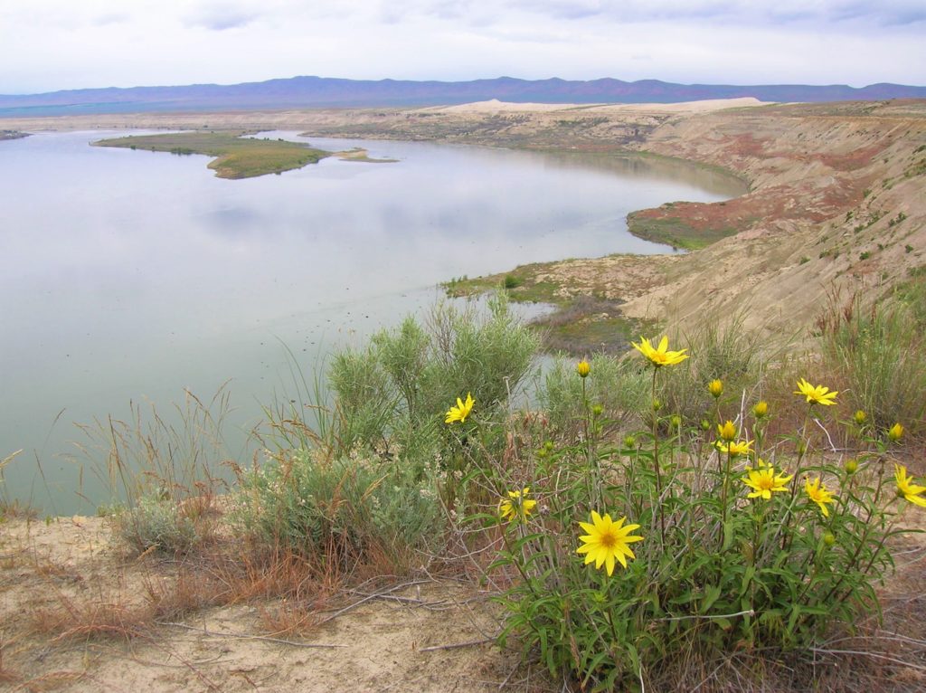
Read MoreWhite Bluffs Hanford Reach
Wilderness and stark beauty along the Columbia River Quick Facts: Location: Hanford Reach National Monument Round Trip: 7.0 miles Elevation Gain: 500 feet Contact: Hanford Reach National Monument, Mid-Columbia River National Wildlife Recreation Complex; Detailed Information: Day Hiking Eastern Washington (Mountaineers Books) Notes: watch for rattlesnakes; pack lots of water Access: From Ellensburg, follow I-90…
Read MoreFour Springs Lake Preserve
Explore a former farm in the heart of Camano Island Quick Facts: Location: Camano Island Land Agency: Island County Parks Round Trip: 1.5 miles of trails Elevation Gain: up to 200 feet Contact: Island County Parks Detailed Information: Urban Trails Everett (Mountaineers Books) Notes: Dogs permitted on leash. No map online but available in pamphlet,…
Read MoreLimekiln Point and Preserve
Orcas, old quarries, and a beautiful lighthouse Quick Facts: Location: San Juan Island Land Agency: Washington State Parks and San Juan County Conservation Land Bank Roundtrip: 2.2 miles Elevation Gain: 265 feet Contact: Lime Kiln State Park or San Juan County Conservation Land Bank Detailed Information: Day Hiking the San Juans and Gulf Islands (Mountaineers Books) Notes: Discover…
Read MoreEagle Creek — Classic Hike overflows with stunning waterfalls
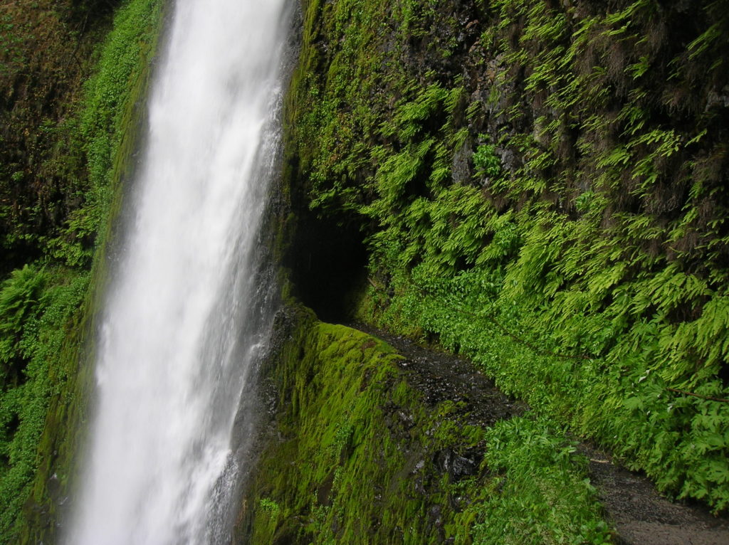
Quick Facts: Location: Columbia River Gorge near Cascades Locks, Oregon Land Agency: National Forest Service Roundtrip: 12 miles High Point: 1,100 feet Elevation gain: 1,600 feet Difficulty: moderate Green Trails Maps: Columbia Gorge West no. 428S Contact: Columbia Gorge National Scenic Area Notes: Northwest Forest Pass or Interagency Pass required; Dogs permitted (but not recommended) on leash; steep drop offs and exposure—keep children near.…
Read MoreGothic Basin and Foggy Lake — Spiraling peaks, buttressed ridges, and a hauntingly beautiful landscape
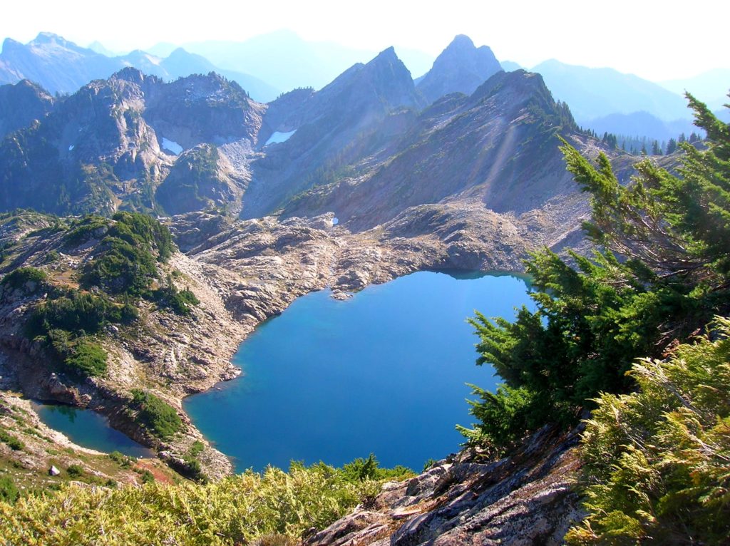
Quick Facts: Location: Mountain Loop Highway near Granite Falls Land Agency: Mount Baker-Snoqualmie National Forest Service and Washington Department of Natural Resources Roundtrip: 9.4 miles Elevation Gain: 2,900 feet Green Trails Maps: Mountain Loop Highway 111SX Access: From Granite Falls follow the Mountain Loop Highway east for 31 miles to Barlow Pass. Hike begins by walking up gated Monte Cristo…
Read MoreKloshe Nanitch
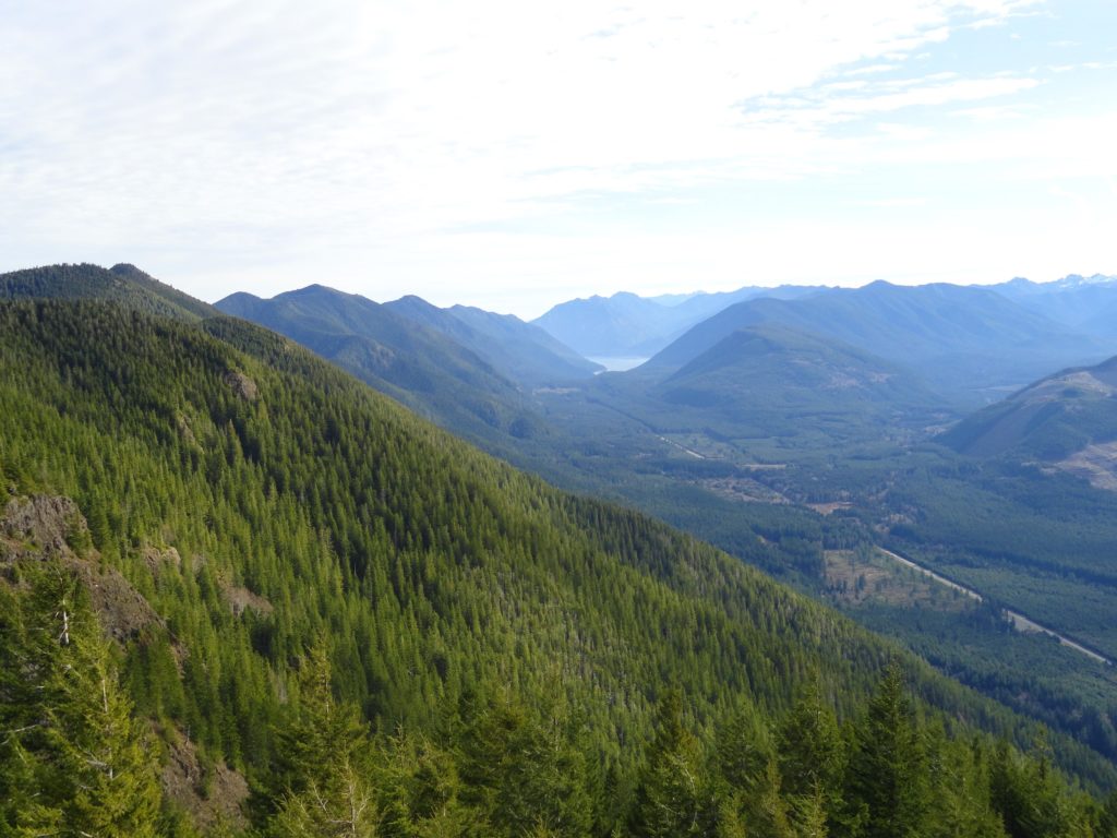
Stand watch over the Sol Duc Valley Quick Facts: Location: North Olympic Peninsula-Sol Duc Valley; Land Agency: Olympic National Forest; Roundtrip: 6.4 miles; Elevation gain: 2,400 feet; Contact: Olympic National Forest, Pacific District North, Forks; Notes: Discover Pass Required; Recommended Guidebook: Day Hiking Olympic Peninsula (2nd edition) Good to Know: Dog-friendly, Trail Less Traveled, Historic…
Read MoreFort Flagler Loop─Old defense post now protects undeveloped Puget Sound coastline
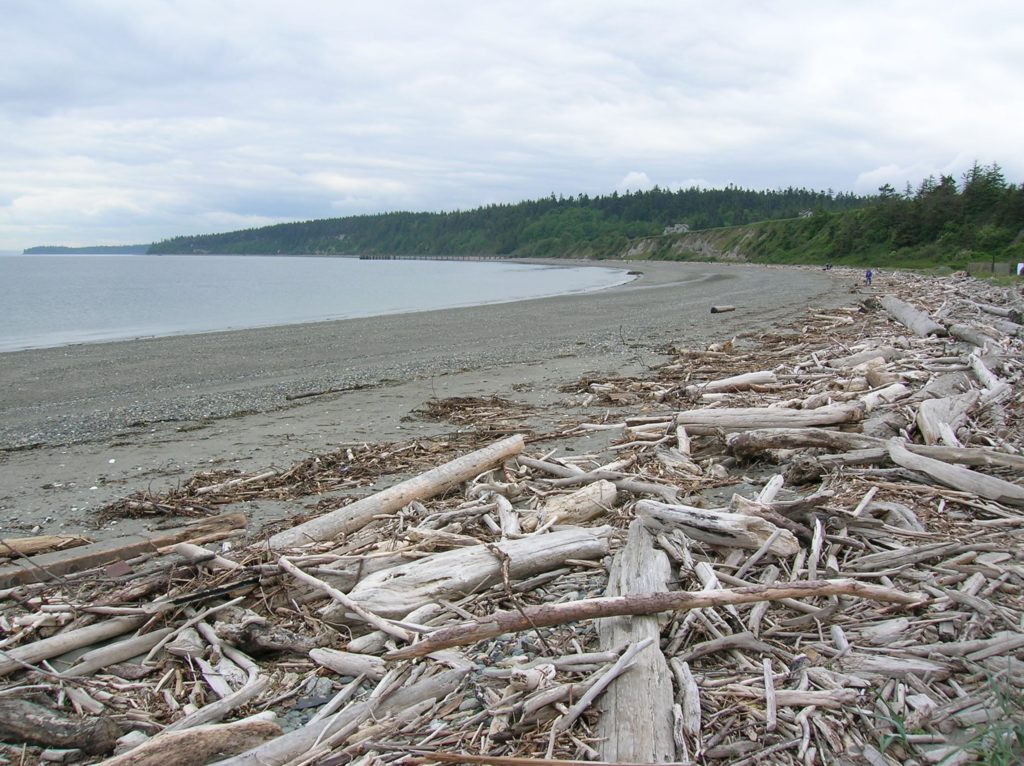
Quick Facts: Location: Marrowstone Island Land Agency: Washington State Parks Contact: Fort Flagler State Park Roundtrip: 5.6 miles Elevation Gain: 200 feet Access: From Kingston Ferry Terminal, follow SR 104 west for 15 miles turning right onto SR 19. Continue north for 9 miles to Chimicum turning right onto Irondale Road and proceeding 1.6 miles…
Read More
