Posts Tagged ‘Henry M Jackson Wilderness’
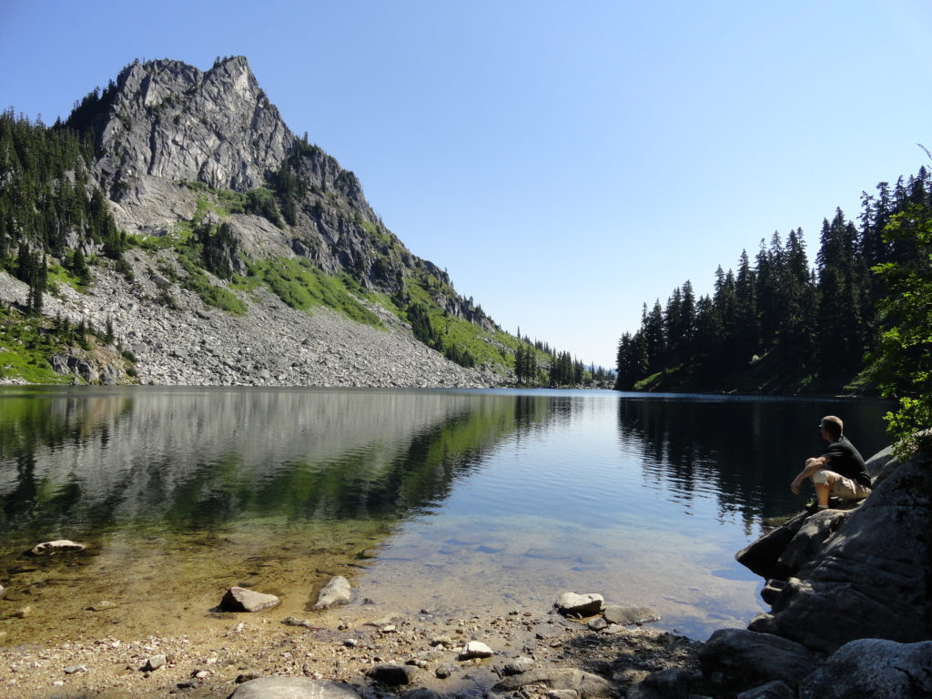
Lake Valhalla– No slain souls here-just renewed ones
Quick Facts: Location: Henry M Jackson Wilderness, Stevens Pass area Land Agency: Okanogan-Wenatchee National Forest Roundtrip: 11.6 miles Elevation gain: 1,850 feet Difficulty: moderate Green Trails Map: Alpine Lakes-Stevens Pass No. 176S Contact: Wenatchee River Ranger District (Leavenworth): Okanogan-Wenatchee National Forest Access: From Everett, head east on US 2 for 65 miles to Stevens Pass.…
Read MoreSilver Lake─Precious body of water above old mining district
Quick Facts: Location: Mountain Loop Highway near Granite Falls Land Agency: Mount Baker-Snoqualmie National Forest Roundtrip: 13.0 miles Elevation Gain: 2,100 feet Green Trails Map: Mountain Loop Highway 111SX Access: From Granite Falls, follow the Mountain Loop Highway east for 31 miles to Barlow Pass. Hike begins by walking up gated Monte Cristo Road. Note: Northwest…
Read MoreGlacier Basin─Strike it rich with great views on this tough hike
Quick Facts: Location: Mountain Loop Highway near Barlow Pass Land Agency: Mount Baker-Snoqualmie National Forest Roundtrip: 12.4 miles Elevation Gain: 2,300 feet Green Trails Map: Mountain Loop Highway 111SX Access: From Granite Falls follow the Mountain Loop Highway east for 30 miles to Barlow Pass. Hike begins by walking up gated Monte Cristo Road. Note: Northwest Forest…
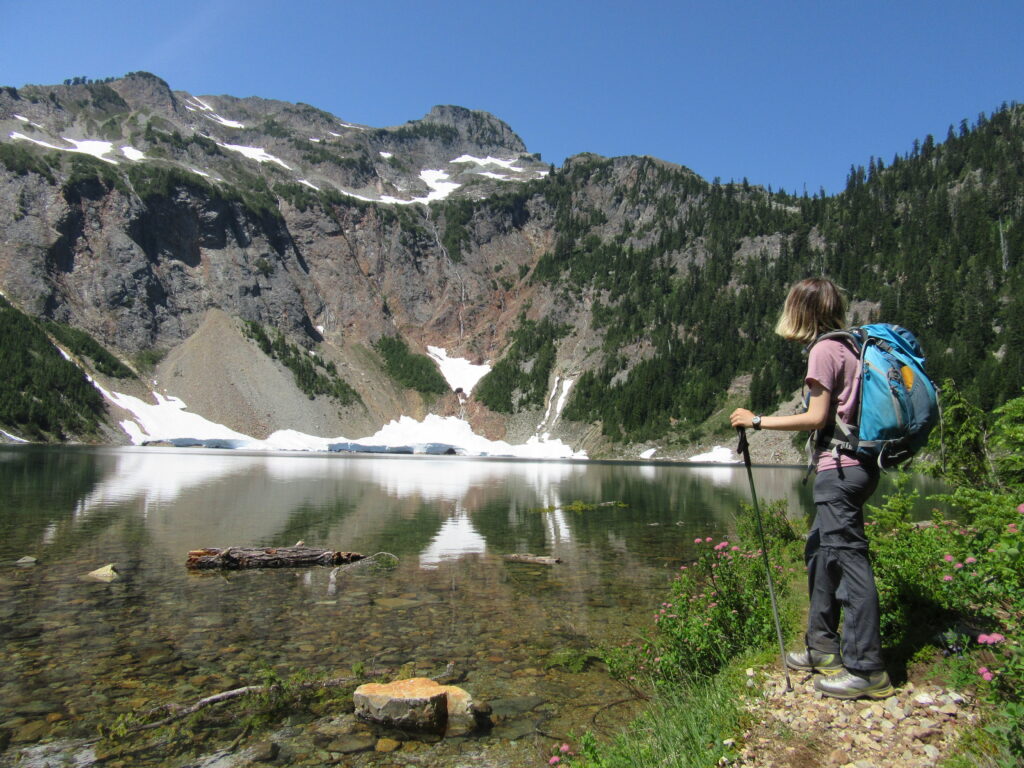
Read MoreBlanca Lake– A strikingly beautiful lake set beneath a formidable wall of jagged peaks
Quick Facts: Location: Wild Sky and Henry Jackson Wildernesses, North Fork Skykomish River Valley Land Agency: Mount Baker-Snoqualmie National Forest Roundtrip: 8.4 miles Elevation gain: 3,300 feet Green Trails Map: Monte Cristo, WA- No. 143 Contact: Skykomish Ranger District: Mount Baker Snoqualmie National Forest Notes: Northwest Forest Pass or Interagency Pass required. No fires allowed…
Read MoreQuartz Creek–Hike through a majestic primeval forest along a crystal clear creek
Quick Facts: Location: North Fork of the Skykomish River Land Agency: Mount Baker-Snoqualmie National Forest Roundtrip: 8.6 miles Elevation gain: 1450 feet Green Trails Maps: Monte Cristo, WA-No. 143 Contact: Skykomish Ranger District: Mount Baker Snoqualmie National Forest Notes: Northwest Forest Pass or Interagency Pass required. Access: The North Fork Skykomish River Road from Index, the…
Read MoreGoat Lake─A family friendly hike for old goats and kids alike!
Quick Facts: Location: Mountain Loop Highway near Darrington Land Agency: Mount Baker-Snoqualmie National Forest Roundtrip: 10.4 miles Elevation Gain: 1,400 feet Green trails Map: Mountain Loop Highway-No. 111SX Access: From Granite Falls, follow the Mountain Loop Highway east for 31 miles to Barlow Pass and end of pavement. Continue for 3.5 miles turning right onto FR…
Read MoreMount McCausland—Rise above Valhalla!
Quick Facts: Location: Henry M. Jackson Wilderness Land Agency: National Forest Service Roundtrip: 6.4 miles Elevation Gain: 1,800 feet Green Trails Map: Alpine Lakes Stevens Pass No. 176S Contact: Wenatchee River Ranger District: Okanogan-Wenatchee National Forest Access: From Everett head east on US 2 to Stevens Pass. Continue east for another 4.0 miles. Just after the…
Read MoreLake Janus — quiet alternative to nearby Lake Valhalla
Quick Facts: Location: Pacific Crest Trail near Stevens Pass Land Agency: Mount Baker-Snoqualmie National Forest Roundtrip: 6.5 miles Elevation gain: 1,550 feet Green Trails Map: Benchmark MT- No. 144 Contact: Skykomish Ranger District: Mount Baker -Snoqualmie National Forest Notes: Self-issued free wilderness permit available at trailhead. Wilderness regulations apply. No fires allowed near lake. Practice…
Read MoreGrizzly Peak — It’s a long hike, but not a bear of a hike!
Quick Facts: Location: Pacific Crest Trail, Henry M Jackson Wilderness, Stevens Pass area Land Agency: Mount Baker-Snoqualmie National Forest Roundtrip: 16.4 miles Elevation gain: 3,400 feet Difficulty: difficult Green Trails Map: Benchmark MT- No. 144 Contact: Skykomish Ranger District: Mount Baker-Snoqualmie National Forest Access: From Everett, head east on US 2 to Stevens Pass. Continue…
Read MoreTwin Lakes (Monte Cristo) — Follow a rugged old miner’s path to a remote basin
Quick Facts: Location: Mountain Loop Highway near Barlow Pass Land Agency: Mount Baker-Snoqualmie National Forest Roundtrip: 17.0 miles Elevation gain: 3,900 feet Green Trails Map: Mountain Loop Highway no. 111SX Contact: Darrington Ranger District: Mount Baker Snoqualmie National Forest Notes: Northwest Forest Pass or Interagency Pass required; A washout at the Twin Bridges requires…
Read More