Posts Tagged ‘Glacier Peak Wilderness’
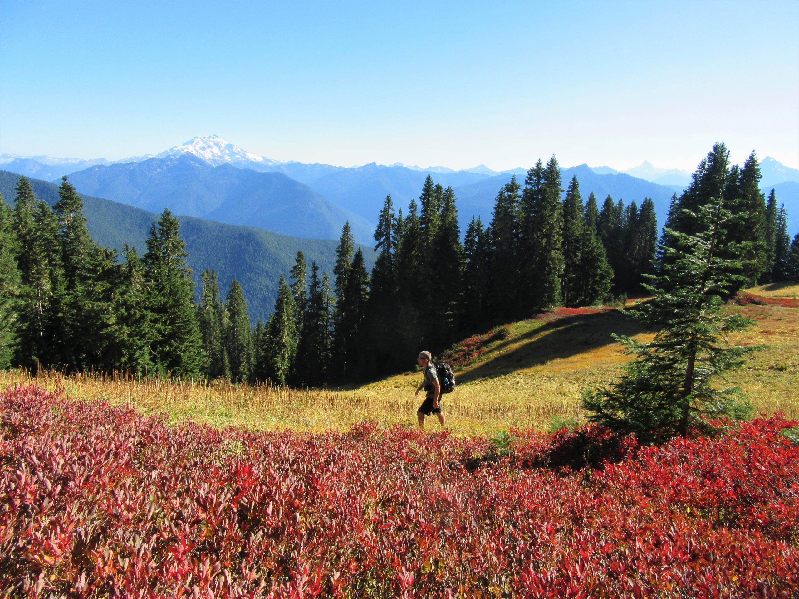
Huckleberry Mountain — Savor solitude high above the Suiattle River
Quick Facts: Location: Suiattle River Valley Land Agency: National Forest Service Roundtrip: 12.6 miles Elevation Gain: 4500 feet Contact: Darrington Ranger District: Mount Baker Snoqualmie National Forest Green Trails Map: Mountain Loop Highway Map 111SX Notes: Glacier Peak Wilderness-wilderness rules apply; Practice Leave No Trace Principles Access: From Darrington travel north on SR 530 turning right…
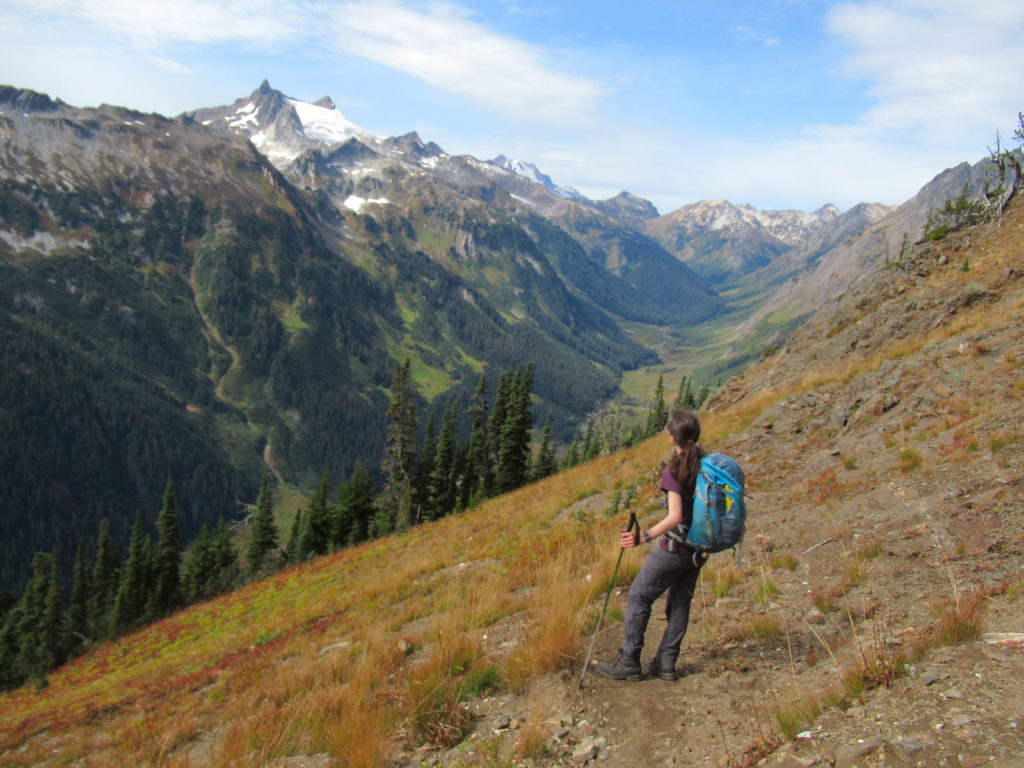
Read MoreRound Lake — Find solitude on Lost Creek Ridge
Quick Facts: Location: Mountain Loop Highway near Darrington Land Agency: Mount Baker-Snoqualmie National Forest Roundtrip: 9.8 miles Elevation gain: 4300 feet Difficulty: strenuous Green Trails Map: Mountain Loop Highway 111SX Contact: Darrington Ranger District; Mount Baker-Snoqualmie National Forest Access: From Darrington follow the Mountain Loop Highway for 16 miles to a junction with Forest Road 49. Turn…
Read MoreLittle Giant Pass
Shortest (but not easy) portal to the fabled Napeequa Valley Quick Facts: Location: Chiwawa River Valley Round Trip: 10.4 miles Elevation Gain: 4100 feet Contact: Okanogan-Wenatchee National Forest, Wenatchee River Ranger District, https://www.fs.usda.gov/okawen/Detailed Information: Day Hiking Central Cascades 2nd edition (Mountaineers Books) Notes: Wilderness Rules in effect; Chiwawa River must be forded—dangerous in high water…
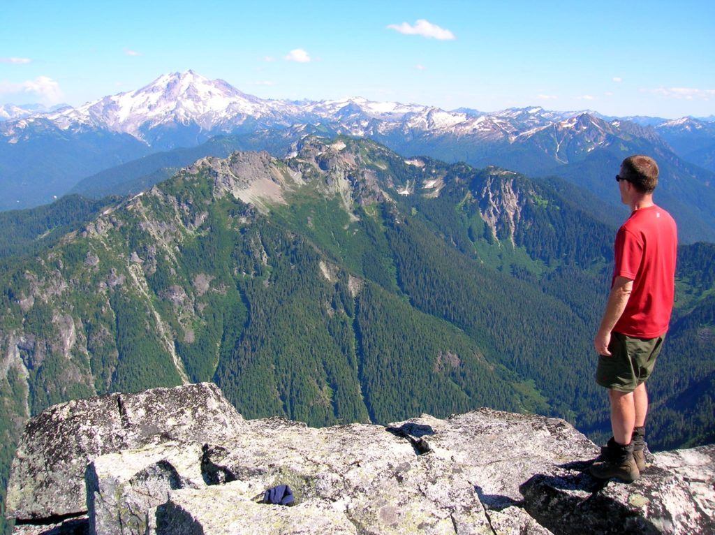
Read MoreMount Pugh — It’s quite a view from the summit of Pugh
Quick Facts: Location: Glacier Peak Wilderness, Mountain Loop Highway near Darrington Land Agency: Mount Baker-Snoqualmie National Forest Roundtrip: 11.0 miles Elevation gain: 5,300 feet Green Trails Map: Mountain Loop Highway Special Series 111SX Contact: Darrington Ranger District: Mount Baker Snoqualmie National Forest Notes: NW Forest Pass or Interagency Pass required; The last 1.5 miles of hike…
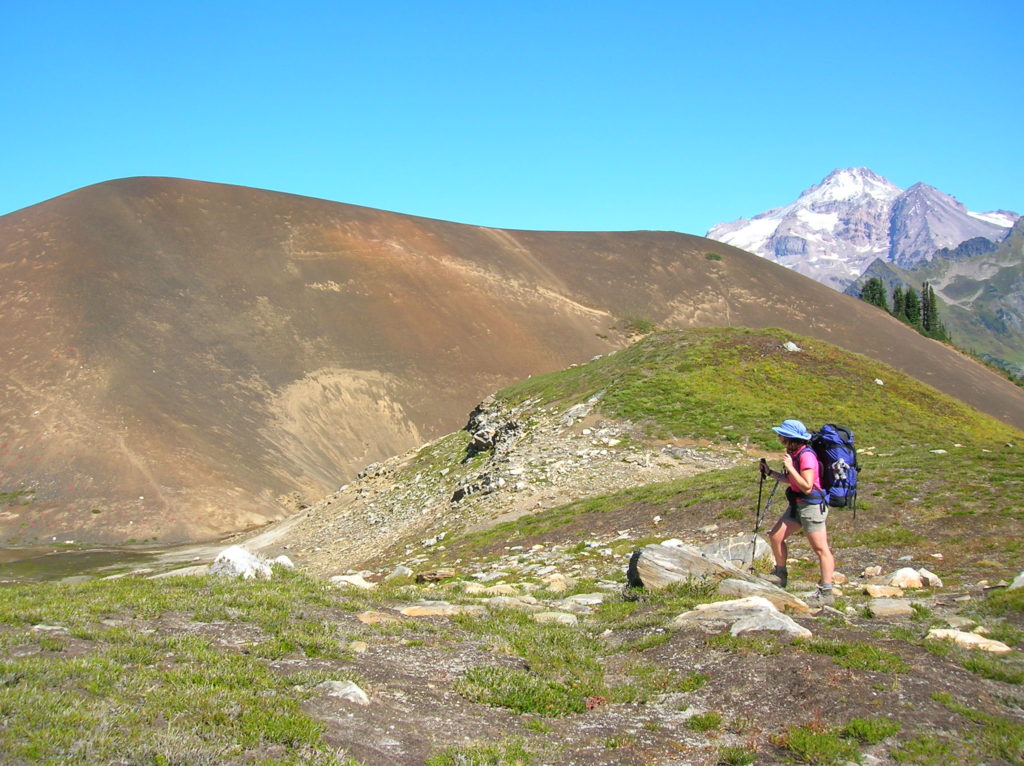
Read MoreWhite Chuck Cinder Cone — Coolest volcanic cone north of Lassen
Quick Facts: Location: Glacier Peak Wilderness,Mountain Loop Highway near Darrington Land Agency: Mount Baker-Snoqualmie National Forest Roundtrip: 23.0 miles Elevation gain: 5,200 feet Green Trails Map: Mountain Loop Highway 111SX Contact: Darrington Ranger District: Mount Baker Snoqualmie National Forest (360) 436-1155 Notes: NW Forest Pass or Interagency Pass required Access: From Darrington, head south 16…
Read MoreWhite Pass–Sprawling meadows and stupendous views high on the Cascade Crest
Location: North Fork Sauk River Land Agency: Mount Baker-Snoqualmie National Forest Roundtrip: 19.4 miles High Point: 5,850 feet Elevation gain: 4,000 feet Difficulty: strenuous Green Trails Maps: Mountain Loop Highway 111SX Contact: Darrington Ranger District: Mount Baker-Snoqualmie National Forest Note: Northwest Forest Pass or Interagency Pass Required Access: From Darrington, travel south on the Mountain…
Read MoreTwin Lakes—The fishing is good, but only if you’re an osprey!
Quick Facts: Location: Lake Wenatchee Area Land Agency: Okanogan-Wenatchee National Forest Roundtrip: 6.8 miles Elevation Gain: 1,200 feet Green Trails Map: Wenatchee Lake- No. 145 Contact: Wenatchee River Ranger District (Leavenworth) Notes: Northwest Forest Pass or Interagency Pass required; wilderness rules apply Access: From Everett head east on US 2 to Coles Corner. Turn left (north)…
Read MoreRed Pass─High Portal to Glacier Peak
Quick Facts: Location: North Fork Sauk River Land Agency: Mount Baker-Snoqualmie National Forest Roundtrip: 20.6 miles Elevation Gain: 4,300 feet Contact: Darrington Ranger District: Mount Baker Snoqualmie National Forest (360) 436-1155; www.fs.fed.us/r6/mbs Green Trails Map: Mountain Loop Highway 111SX Special Note: Northwest Trail Pass required. Access: From Darrington, travel south on the Mountain Loop Highway…
Read MoreCrystal Lake─ a trail less taken if you take the old way
Quick Facts: Location: White Chuck River Valley, Mountain Loop Highway Land Agency: National Forest Service Roundtrip: 9.0 miles Elevation Gain: 2,150 feet Green Trails Map: Mountain Loop Highway 111SX Access: Take Exit 208 off of I-5 following SR 530 east for 32 miles to Darrington. Then head south on the Mountain Loop Highway proceeding 9.0…
Read MoreBlue Lake and Johnson Mountain–divine ridge walking
Quick Facts: Location: Mountain Loop Highway near Darrington Land Agency: Mount Baker-Snoqualmie National Forest Roundtrip: 28.3 miles Elevation Gain: 6,725 feet Green Trails Maps: Mountain Loop Highway 111SX Recommended Guidebook: Backpacking Washington (Romano; Mountaineers Books) Access: From Darrington, head south on the Mountain Loop Highway 16.0 miles turning left onto FR 49. Follow for 6.4 miles bearing…
Read More