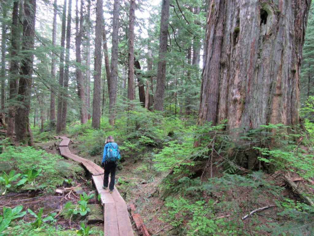
Posts Tagged ‘exceptional old-growth’
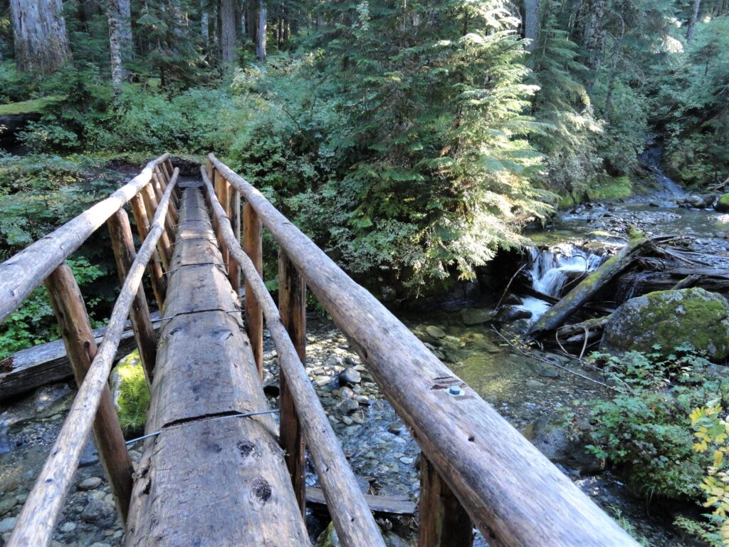
Deception Creek—Big trees, wilderness valley, no crowds—and that’s the truth!
Quick Facts: Location: Skykomish River Valley Land Agency: Mount Baker-Snoqualmie National Forest Roundtrip: 10.5 miles Elevation Gain: 1,350 feet Notes: Northwest Forest Pass required; Dogs permitted on leash. Contact: Skykomish Ranger District: Mount Baker-Snoqualmie National Forest Green Trails Map: Alpine Lakes-Stevens Pass-No. 176S Access: From Everett drive US 2 east to Skykomish. Then continue for another…
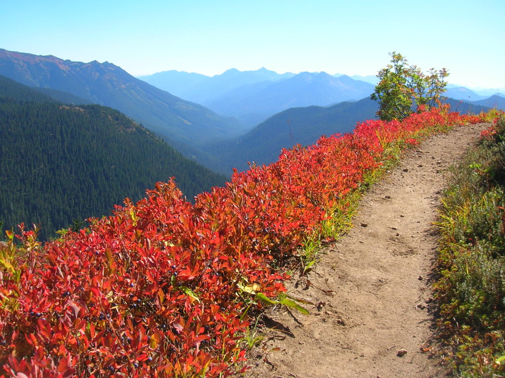
Read MoreDishpan Gap—Crimson carpets at the headwaters of the Sky!
Quick Facts: Location: North Fork Skykomish River Valley Land Agency: Mount Baker-Snoqualmie National Forest Roundtrip: 17.4 miles Elevation Gain: 3,100 feet Contact: Skykomish Ranger District: Mount Baker-Snoqualmie National Forest Green Trails Map: Monte Cristo- No. 143, Benchmark Mtn- No. 144 Special Note: Northwest Forest Pass or Interagency Pass required; wilderness rules apply Access: From Everett…
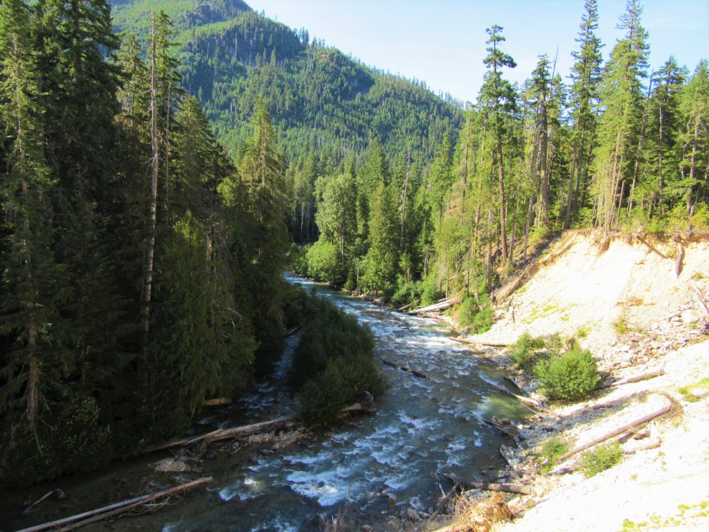
Read MoreThunder Creek– Stroll alongside a tumultuous creek through a striking old-growth forest
Quick Facts: Location: Ross Lake National Recreation Area Land Agency: United States National Park Service Distance: 12.0 miles Elevation Gain: 750 feet Contact: North Cascades National Park Complex Green Trails Map: North Cascades Ross Lake 16SX Notes: Dogs permitted on leash, permits required for camping Access: From Marblemount drive State Route 20 east for 24…
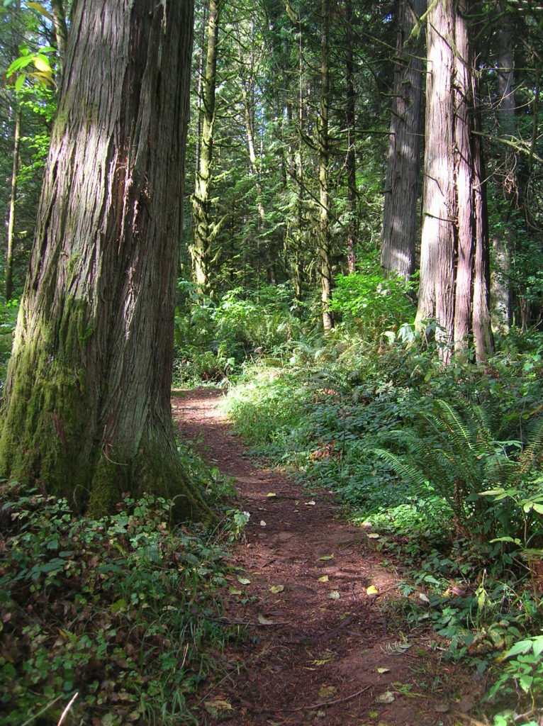
Read MoreLewis and Clark State Park─Discover beautiful Old Growth Forest along the old highway ninety-nine
Quick Facts: Location: Chehalis River Valley Land Agency: Washington State Parks Roundtrip: 2.0 miles Elevation Gain: 125 feet Note: Discover Pass required; dogs permitted on leash. Access: From Exit 68 on I-5, proceed 2.5 miles east on US 12 to Mary’s Corner. Turn right onto Jackson Highway entering state park in .7 mile. Continue another…
Read MoreQuinault Rainforest Loop — Easily accessible trail system through an Olympic Rainforest
Quick Facts: Location: Lake Quinault Land Agency: Olympic National Forest Roundtrip: 3.9 miles Elevation Gain: 500 feet Contact: Olympic National Forest, Pacific Ranger District, Quinault Detailed Information: Day Hiking Olympic Peninsula 2nd Edition (Mountaineers Books) Notes: Northwest Forest Pass or Interagency Pass required; dogs should on leash Access: From Hoquiam travel north on US 101 for 35 miles.…
Read MoreSouth Whidbey State Park—Amble among ancient trees above the sound
Quick Facts: Location: Whidbey Island Land Agency: Washington State Parks Roundtrip: 2.3 miles Elevation Gain: 200 feet Contact: South Whidbey State Park Notes: Discover Pass Required: Dogs must be leashed Access: From the Clinton Ferry Terminal on Whidbey Island follow SR 525 north for 9.4 miles turning left onto Bush Point Road. After 2.2 miles road…
Read MoreOld Mine Trail — Gold above the Carbon
Quick Facts: Location: Mount Rainier National Park Land Agency: National Park Service Round Trip: 3.0 miles roundtrip Elevation Gain: 350 feet Green Trails Map: Green Trails Mount Rainier National Park 269S Contact: Mount Rainier National Park Notes: Dogs prohibited; Drones prohibited; National Park fee or Interagency Pass required Access: From Buckley, follow SR 165 south. At…
Read MoreNorth Fork Sauk River — Walk among ancient giants
Quick Facts: Location: Mountain Loop Highway Land Agency: Mount Baker-Snoqualmie National Forest Roundtrip: 11.6 miles Elevation gain: 900 feet Green Trails Maps: Mountain Loop Highway Map 111SX Contact: Darrington Ranger District: Mount Baker Snoqualmie National Forest Guidebook Resource: Day Hiking North Cascades (Mountaineers Books) Notes: NW Forest Pass or Interagency Pass required Access: From Darrington,…
Read MoreAshland Lakes─old growth forest serenity
Quick Facts: Location: Mountain Loop Highway Land Agency: National Forest Service Roundtrip: 5.5 miles Elevation Gain: 800 feet Green Trails Map: Mountain Loop Highway no. 111SX Contact: Darrington Ranger District: Mount Baker- Snoqualmie National Forest Access: From Granite Falls follow the Mountain Loop Highway east to the Verlot Visitors Center. Proceed for 4.6 more miles turning…
Read More