Posts Tagged ‘Day Hiking Puget Sound’
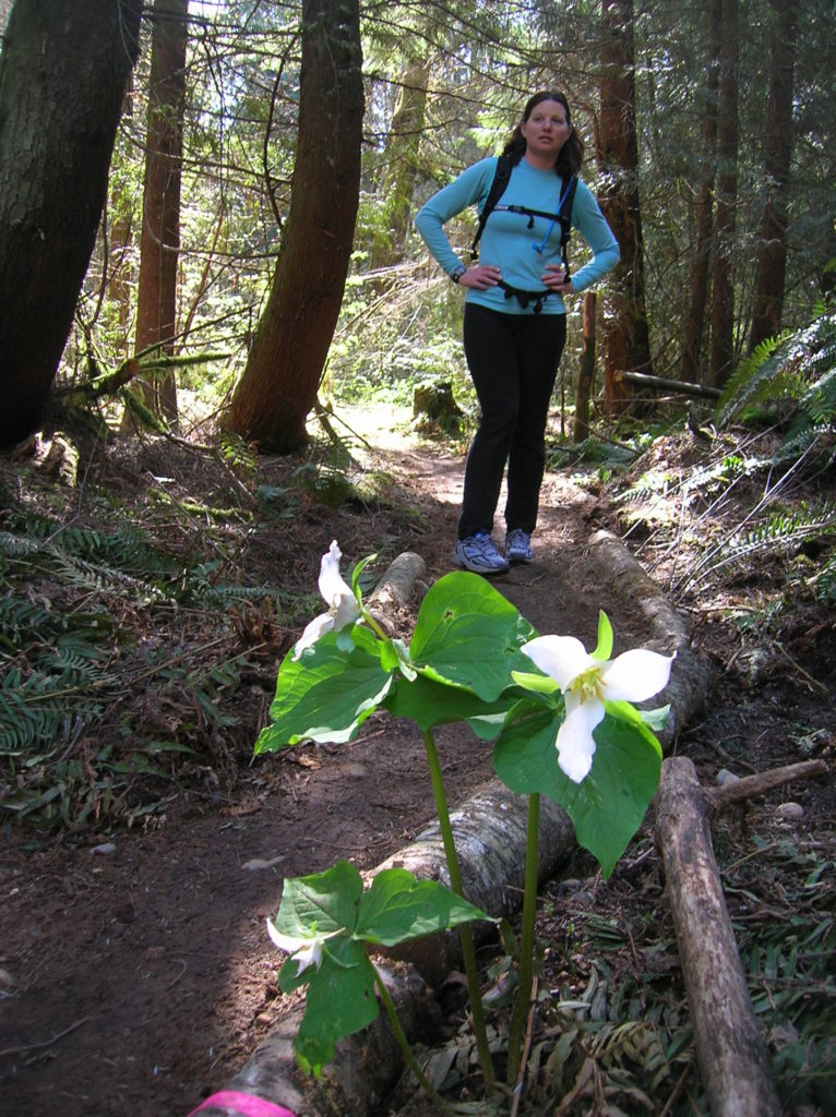
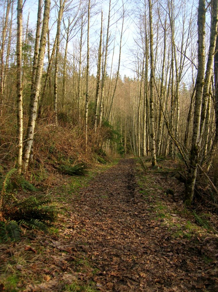
Ephemeral Trail–Enjoy lasting memories on this Paradise Valley Trail
Location: Maltby Land Agency: Snohomish County Parks Roundtrip: 4.0 miles Elevation gain: 200 feet Difficulty: Easy Contact: Snohomish County Parks Notes: Dogs must be on leash; partially open to mountain bikes and horses Access: From SR 522 in Maltby (5.0 miles east of Woodinville; 8.0 miles west of Monroe) head east on Paradise Lake Road…
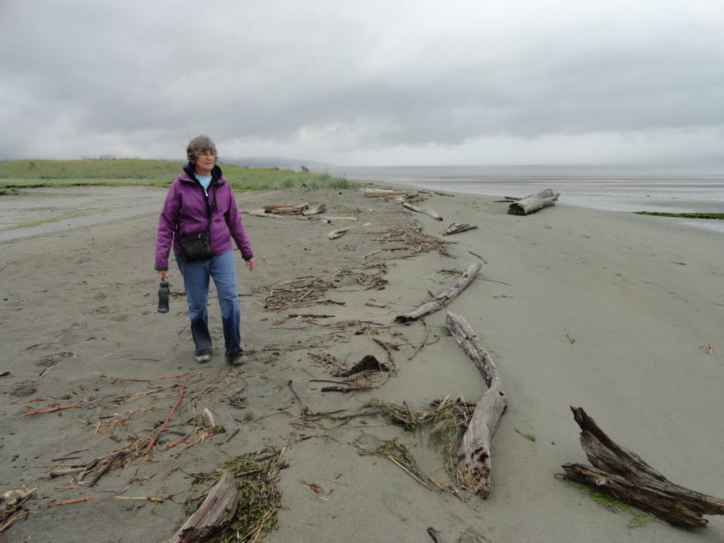
Read MoreJetty Island– It may be manmade, but it’s naturally delightful!
Quick Facts: Location: Everett Land Agency: Everett Parks and Recreation Roundtrip: up to 5.0 miles Elevation gain: none Difficulty: Easy Contact: Everett Parks and Recreation Department Notes: Parking fee $2.00 (credit card or exact amount cash) Passenger Ferry runs on Wednesday through Sunday from July 5th until September 3rd and requires a reservation ($3 per…
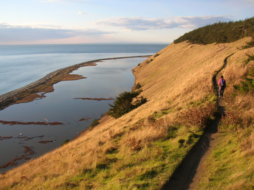
Read MoreEbey’s Landing—A Sound Hiking Adventure
Quick Facts: Location: Whidbey Island Land Agency: National Park Service and Washington State Parks Roundtrip: 5.2 miles Elevation Gain: 260 feet Contact: Ebey’s Landing National Historical Reserve Suggested Guidebook: Urban Trails Everett Special note: Dogs permitted on leash. Access: Take Washington State Ferry from Mulkiteo to Clinton on Whidbey Island. Continue north on SR 525…
Read MoreChristmas Lake and Cedar Butte- Bad tidings and spelling
Quick Facts: Location: Snoqualmie Valley near North Bend Land Agency: Washington State Parks Roundtrip: 4.2 miles Elevation Gain: 900 feet Green Trails Map: Rattlesnake Mountain Upper Snoqualmie Valley 205S Access: From Seattle take I-90 east to exit 32 in North Bend turning right (south) onto 436th Ave SE which soon becomes Cedar Falls Road. Follow for 3.1…
Read MoreDevil’s Butte–A Frightful name but delightful hike in Lord Hill Park
Quick Facts Location: Lord Hill Park near Snohomish Land Agency: Snohomish County Parks Roundtrip: 3.5 miles High Point: 650 feet Elevation gain: 400 feet Difficulty: moderate Contact: Snohomish County Parks Notes: Dogs must be on leash; trails open to bikes and horses Access: From the city of Snohomish, exit SR 9 onto 2nd Street. Proceed…
Read MoreBob Heirman Wildlife Preserve at Thomas’ Eddy – Swans, steelhead, and serenity on the Snohomish River
Quick Facts: Location: Snohomish River, south of Snohomish Land Agency: Snohomish County Parks Roundtrip: 1.5 miles Elevation Gain: 50 feet Contact: Snohomish County Parks and Recreation Special Note: Dogs prohibited. Trails can flood during rainy period. Expect wet and muddy trails. Access: From the city of Snohomish, travel south on SR 9 for 2.6 miles…
Read MoreBig Gulch─ Explore Mukilteo’s deep ravines
Quick Facts: Location: Mukilteo Land Agency: Mukilteo Parks and Recreation Contact: Mukilteo Recreation Department Roundtrip: 4.0 miles Elevation Gain: 350 feet Access: From Everett follow SR 526 to SR 525. Turn left (south) on SR 525 and drive .5 mile to 92nd Street. Turn right and then immediately turn left into the 92nd Street Park parking area.…
Read MoreRiverview Wildlife Refuge –Quiet bird sanctuary on the Snohomish River
Quick Facts Location: City of Snohomish Land Agency: Snohomish Department of Parks and Volunteer Programs Roundtrip: 2.2 miles Elevation gain: minimal Difficulty: Easy Contact: City of Snohomish and Pilchuck Audubon Society Notes: Dogs must be on a leash. Access: From Everett head east on US 2 to SR 9. Then follow SR 9 south exiting…
Read MoreCloverdale Farm -Explore this future park on the Stilly
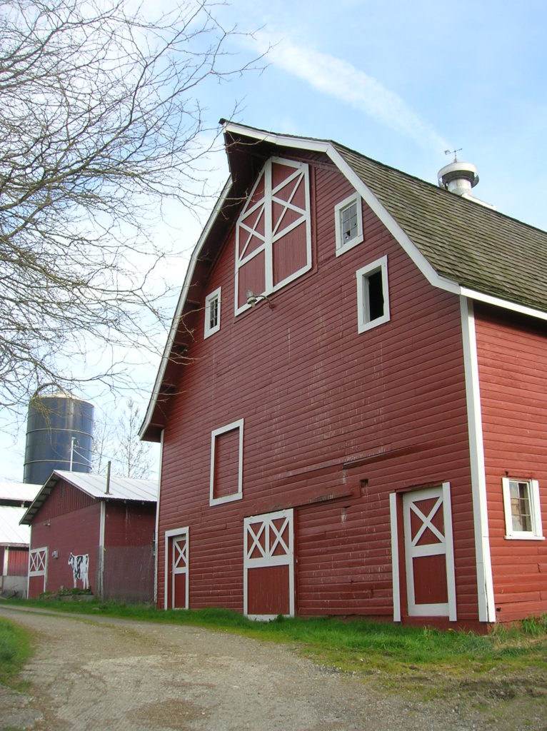
Quick Facts: Location: North Fork Stillaguamish River Valley near Arlington Land Agency: Snohomish County Parks Roundtrip: 4.5 miles Elevation gain: 50 feet Difficulty: easy Contact: Snohomish County Parks Notes: Dogs permitted on leash. All farm buildings are closed to public. Access: From Exit 208 on I-5 head east on SR 530 for 4.0 miles to Arlington. Continue east on SR 530 for…
Read MoreArlington Airport Trail–Come Fly with Me on a walk around an historic airport
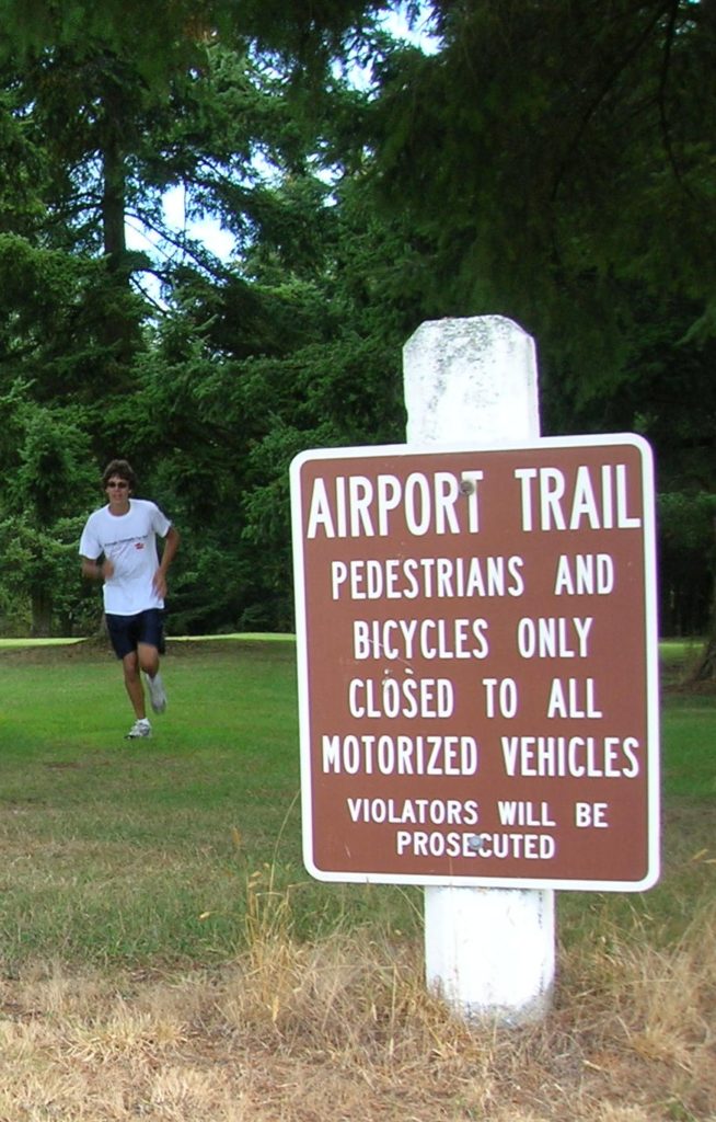
Quick Facts: Location: Arlington Land Agency: City of Arlington Roundtrip: 5.5 miles Elevation gain: 50 feet Difficulty: Easy Contact: Arlington Airport Commission Notes: Dogs must be on leash Access: From Everett, head north on I-5 to Exit 206. Continue east on SR 531 (172nd Street NE) for 1.4 miles. Turn left onto 59th Avenue NE and…
Read More