Posts Tagged ‘Day hiking Olympic Peninsula’
Dirty Face Ridge– Make a clean break from Mount Townsend’s crowds

Quick Facts: Location: Buckhorn Wilderness, Northeast Olympic Peninsula Land Agency: Olympic National Forest Roundtrip: 7.8 miles Elevation gain: 3,000 feet Green Trails Maps: Olympic Mountains East No. 168SX Recommended Guidebook: Day Hiking Olympic Peninsula 2nd edition (Mountaineers Books) by Craig Romano Contact: Hood Canal District, Olympic National Forest Quilcene Access: Take US 101 to Louella…
Read MoreMount Walker–excellent views at the eastern edge of the Olympic Mountains
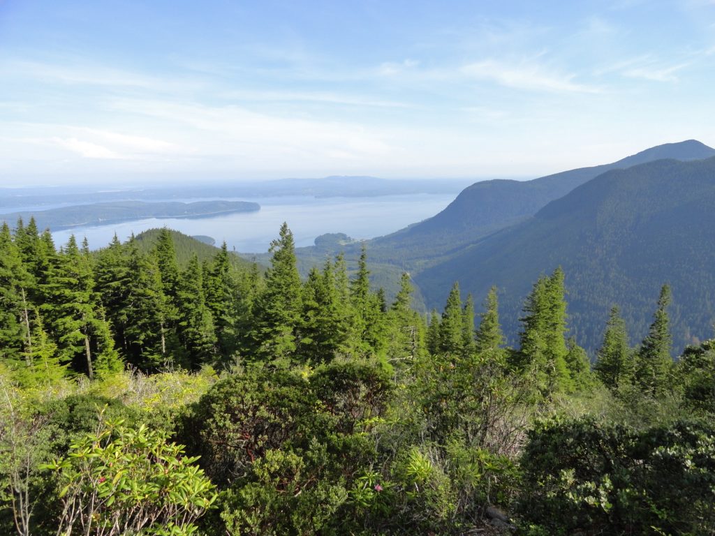
Quick Facts: Location: Northeast Olympic Peninsula Land Agency: Olympic National Forest Roundtrip: 5.0 miles Elevation gain: 2050 feet Contact: Hood Canal Ranger District Green Trails Map: Olympics East no. 168S Notes: In winter the road is gated. Park away from gate and walk .3 mile to trailhead. Recommended Guidebook: Day Hiking Olympic Peninsula 2nd edition (Mountaineers…
Read MoreRanger Hole –Hike to a Historic fishing spot on the Duckabush

Quick Facts: Location: Olympic Peninsula Land Agency: Olympic National Forest Round Trip: 1.9 miles Elevation Gain: 250 feet Contact: Olympic National Forest, Hood Canal Ranger District, Green Trails Map: Green Trails Olympic Mountains East 168S Notes: Northwest Forest Pass required; Be sure to respect the privacy of any guests who may be staying in the…
Read MoreDosewallips State Park Loop — Hike back in time through a quiet forest
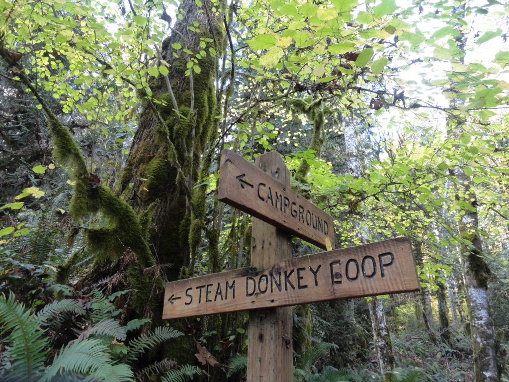
Quick Facts: Location: Olympic Peninsula Land Agency: Washington State Parks Roundtrip: 3.6 miles Elevation Gain: 550 feet Contact: Dosewallips State Park Green Trails Map: Olympic Mountains East 168SX Detailed Information: Day Hiking Olympic Peninsula (Mountaineers Books) Notes: Discover Pass required; Dog must be leashed Recommended Resource: Day Hiking Olympic Peninsula Access: From Quilcene drive US 101 south for 12…
Read MoreHoyt Beach–Shoreline of solitude at the Mouth of the Sekiu River
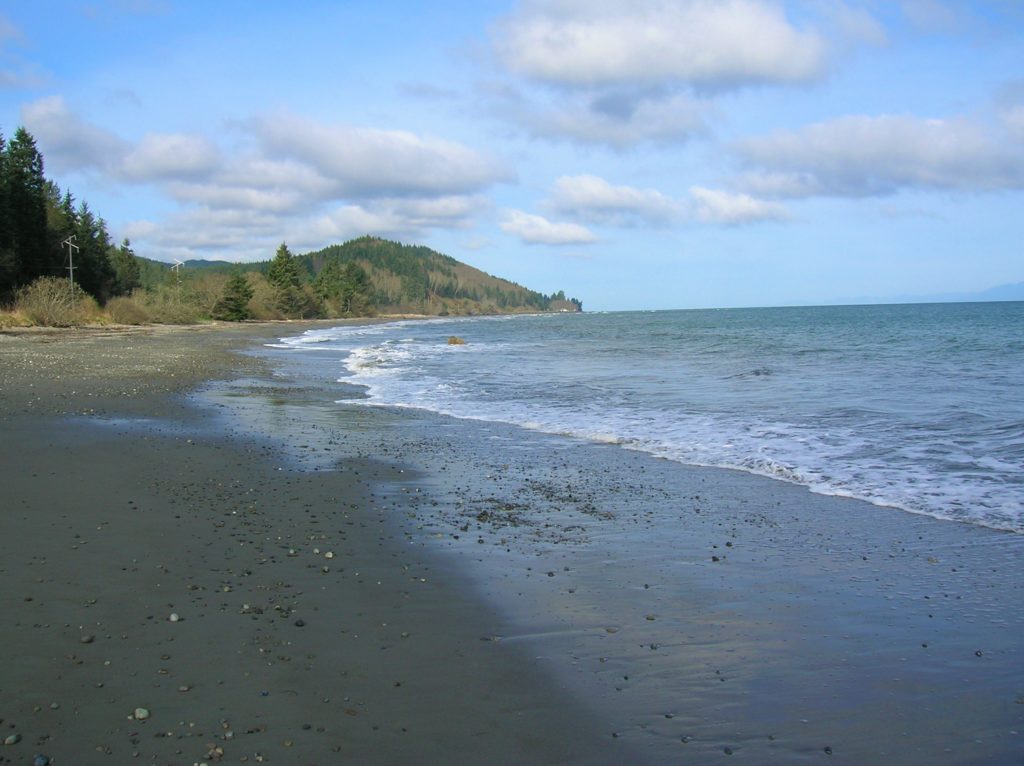
Location: Northwest Olympic Peninsula Land Agency: Washington State Parks Roundtrip: 2.0 miles High Point: sea level Elevation gain: none Contact: Washington State Parks Notes: Discover Pass required; Dogs permitted on leash Access: From Port Angeles, head west of US 101 for 5 miles. Turn right onto SR 112 and follow west for 46 miles to Clallam…
Read More