Posts Tagged ‘Day hiking Olympic Peninsula’
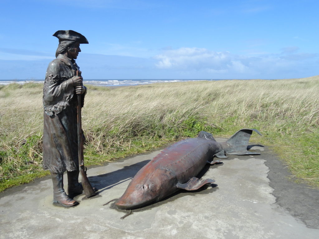
Discovery Trail – Follow Lieutenant Clark along the Long Beach Peninsula
Quick Facts: Location: Long Beach Peninsula Land Agency: Washington State Parks and others Roundtrip: 8.2 miles on way Elevation Gain: 200 feet Contact: Long Beach Peninsula Visitors Bureau Access: For the southern trailhead, follow US 101 to Ilwaco. Turn left onto Elizabeth Ave and after two blocks turn right onto Howerton Ave. Park on Howerton Ave. Trail begins…
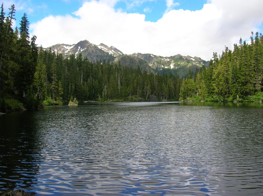
Read MoreMildred Lakes — Brutal trail to a placid trio of backcountry lakes
Quick Facts: Location: Mount Skokomish Wilderness Land Agency: Olympic National Forest Roundtrip: 9.0 miles Elevation Gain: 2925 feet Contact: Olympic National Forest, Hood Canal Ranger District, Green Trails Map: Olympic Mountains East 168SX Notes: Northwest Forest Pass or Interagency Pass required Access: From Hoodsport travel north on US 101 north for 13.7 miles turning left onto FR 25…
Read MoreTubal Cain Mine and Buckhorn Lake — Take a “rhody trip” to an historic mine
Quick Facts: Location: Buckhorn Wilderness, Olympic National Forest Land Agency: National Forest Service Roundtrip: 12.4 miles Elevation Gain: 2,100 feet Contact: Olympic National Forest, Hood Canal Ranger District, Quilcene, Green Trails Map: Olympic Mountains East 168SX Notes: Wilderness regulations apply Access: From Discovery Bay (Jct SR 20 and US 101), drive no US 101 north and turn left…
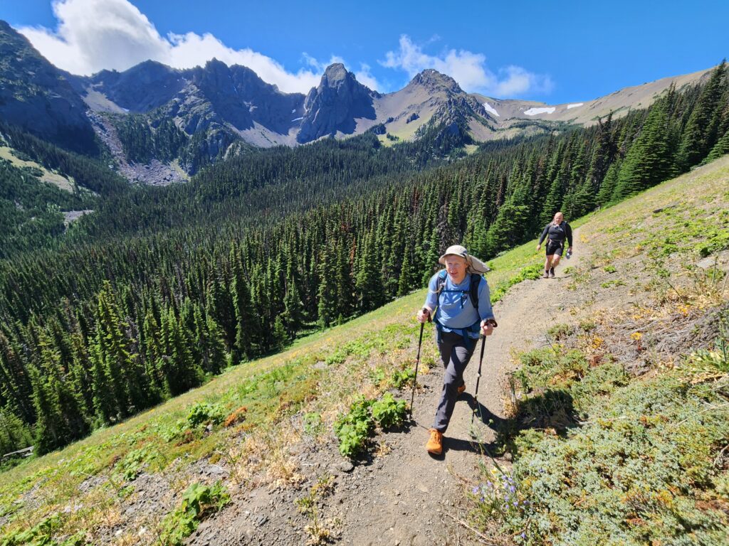
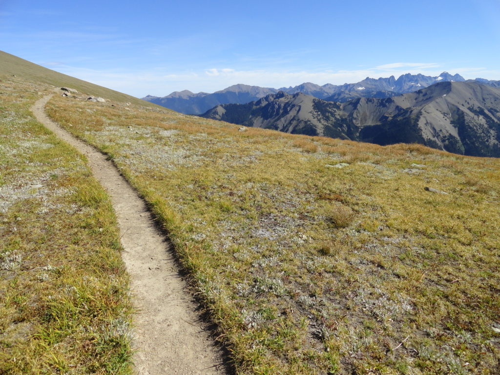
Read MoreGrand Ridge─Horizon-spanning views from the loftiest trail in the Olympics
Quick Facts: Location: Deer Park-Obstruction Point, Olympic National Park Land Agency: National Park Service Roundtrip: 15.4 miles. To Maiden Peak: 7.0 miles Elevation Gain: 3,400 feet. To Maiden Peak: 1,600 feet Green Trails Map: Olympics Mountain East 168S Contact: Olympic National Park Notes: Park entry fee; Pavement on Deer Park Road ends at National Park Boundary…
Read MoreFletcher Canyon– Explore a rugged rift in the Quinault Ridge
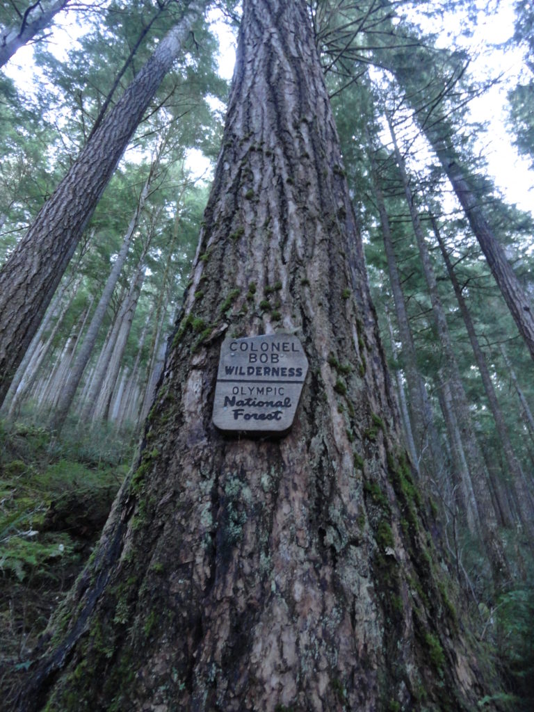
Quick Facts: Location: Colonel Bob Wilderness Land Agency: Olympic National Forest Roundtrip: 3.8 miles Elevation Gain: 1100 feet Contact: Olympic National Forest, Pacific Ranger District, Quinault Green Trails Map: Mt Christie No. 166 Recommended Guidebook: Day Hiking Olympic Peninsula 2nd edition (Mountaineers Books) Access: From Hoquiam, travel north on US 101 for 38 miles turning right onto South…
Read MoreHeart O' the Forest Trail─Peaceful path in the shadow of Hurricane Ridge
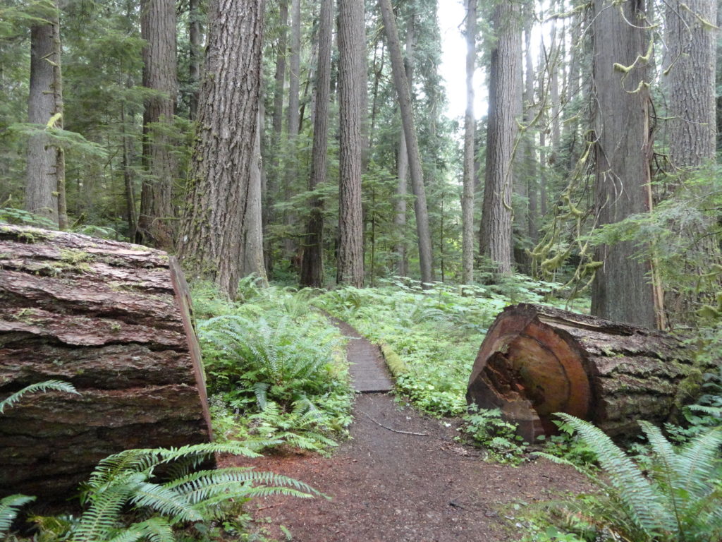
Quick Facts: Location: Heart O’ the Hills Campground Land Agency: Olympic National Park Roundtrip: 4.6 miles Elevation Gain: 550 feet Notes: Dogs prohibited, National Park Entry fee. Green Trails Map: Elwha North/ Hurricane Ridge No-134S Access: From Olympic National Park Visitors Center in Port Angeles, follow Hurricane Ridge Road (aka Heart O’ the Hills Parkway) south. Continue 5.4 miles turning left into…
Read MoreHurricane Hill─Storm this summit on snowshoes or skis
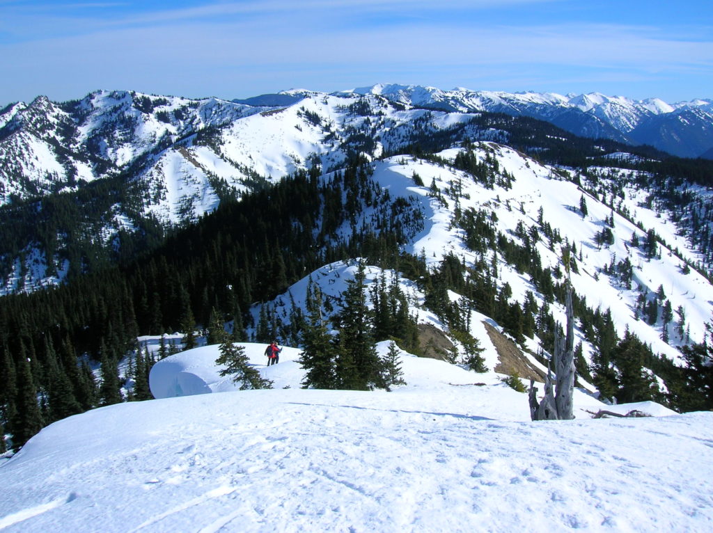
Quick Facts: Location: Hurricane Ridge, Olympic National Park Land Agency: National Park Service Roundtrip: 6.0 miles Elevation Gain: 900 feet Contact: Olympic National Park Green Trails Map: Elwha North Hurricane Ridge, No 134S Notes: Dogs are prohibited. National Park Entry Fee Required. Dec–Mar the road is open Fri–Sun and Holiday Mondays only weather permitting. All…
Read MoreSecond Beach– Home to First Rate Scenery
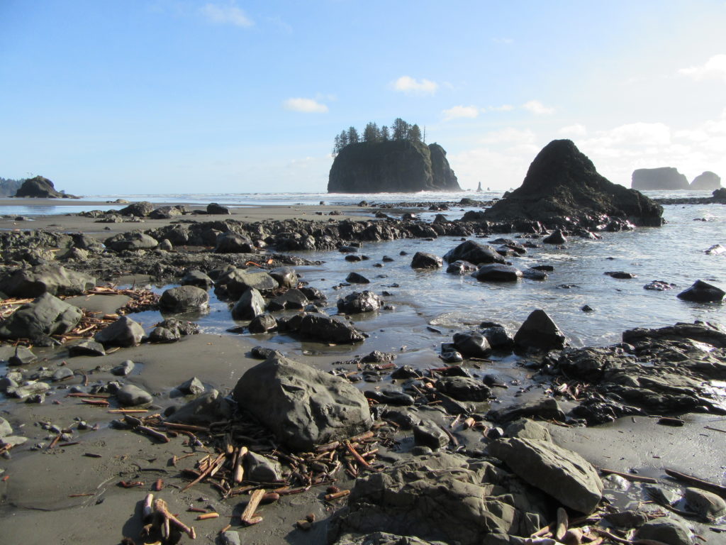
Quick Facts: Location: Olympic National Park Land Agency: Quileute Nation and National Park Service Roundtrip: 4.0 miles Elevation Gain: 310 feet Contact: Olympic National Park, Wilderness Information Center Green Trails Map: 99S Olympic Coast Beaches Notes: Dogs prohibited Access: From Forks follow US 101 north for 1.5 miles turning left onto State Route 110 (signed “Mora–La Push”). Continue…
Read MoreClallam Bay Spit — Explore Washington’s deserted and spectacular North Coast
Quick Facts: Location: Strait of Juan de Fuca, North Olympic Peninsula Land Agency: Clallam County Parks and Washington State Parks Roundtrip: 2.1 miles Elevation Gain: minimal Contact: Clallam County Parks Notes: Dogs permitted on leash Access: From Port Angeles follow US 101 west for 5.4 miles to SR 112. Continue west for 44 miles on SR 112 to the community…
Read MoreSunrise Ridge─What a setting!
Quick Facts: Location: Olympic National Park – Hurricane Ridge Road Land Agency: National Park Service Roundtrip: 5.2 miles Elevation Gain: 1,100 feet Green Trails Map: Elwha North-Hurricane Ridge No. 134S Contact: Olympic National Park Access: From Port Angeles, follow Race Street south to Mount Angeles Ave to the Heart O’ the Hills Parkway (Hurricane Ridge…
Read More