Posts Tagged ‘Day hiking North Cascades’
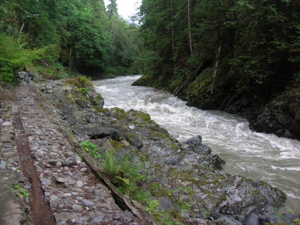
Robe Canyon─Follow a silenced railroad into a thundering chasm
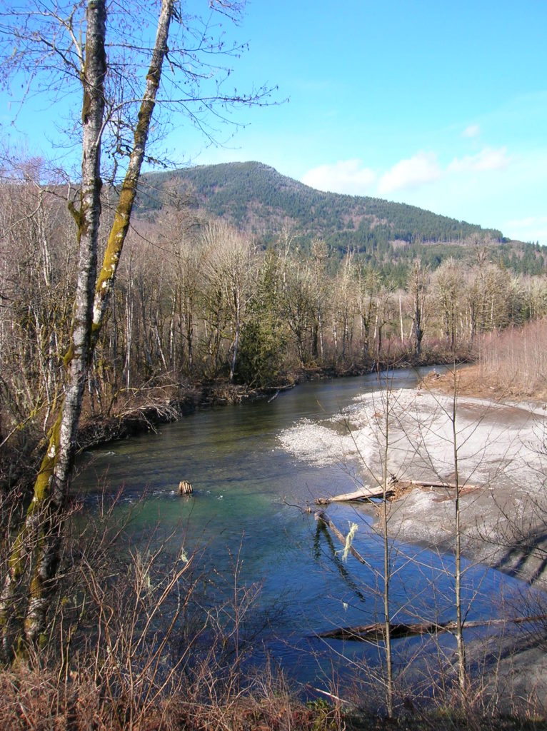
Quick Facts: Location: Mountain Loop Highway near Granite Falls Land Agency: Snohomish County Parks Roundtrip: 2.4 miles Elevation Gain: 300 feet Green trails Map: Mountain Loop Highway 111SX Access: From Granite Falls follow the Mountain Loop Highway east for 7.0 miles to trailhead located on your right, directly across from Forest Road 41. Park on…
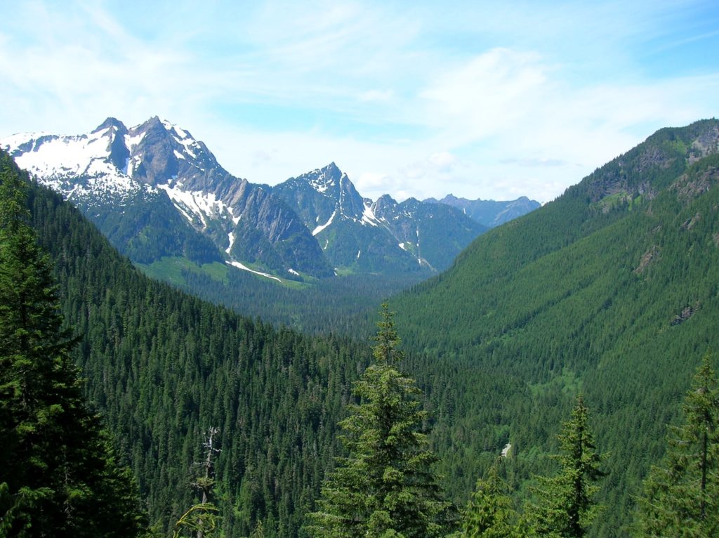
Read MoreBarlow Point–Little known lookout site on Mountain Loop Highway
Location: Mountain Loop Highway near Granite Falls Land Agency: Mount Baker-Snoqualmie National Forest Roundtrip: 2.5 miles High Point: 3,222 feet Elevation gain: 850 feet Difficulty: moderate Green Trails Maps: Mountain Loop Highway 111SX Contact: Darrington Ranger District: Mount Baker Snoqualmie National Forest Note: Northwest Forest Pass or Inter-agency Pass required Access: From Granite Falls, follow…
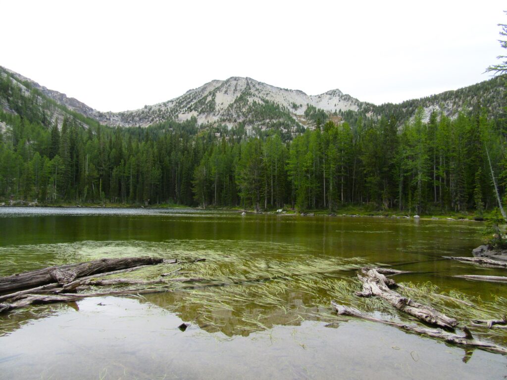
Read MoreMartin Lake–Heart of the Golden Lakes
Quick Facts: Location: Methow Valley, WA Distance: 13.4 miles round trip Elevation Gain: 2300 feet Contact: Okanogan-Wenatchee National Forest, Methow Valley Ranger District Maps: Green Trails Methow Valley 51SX Recommended Guidebook: Day Hiking North Cascades (Mountaineers Books) Notes: trail open to motorcycles Trailhead directions: From Twisp drive south on SR 153 and turn right onto…
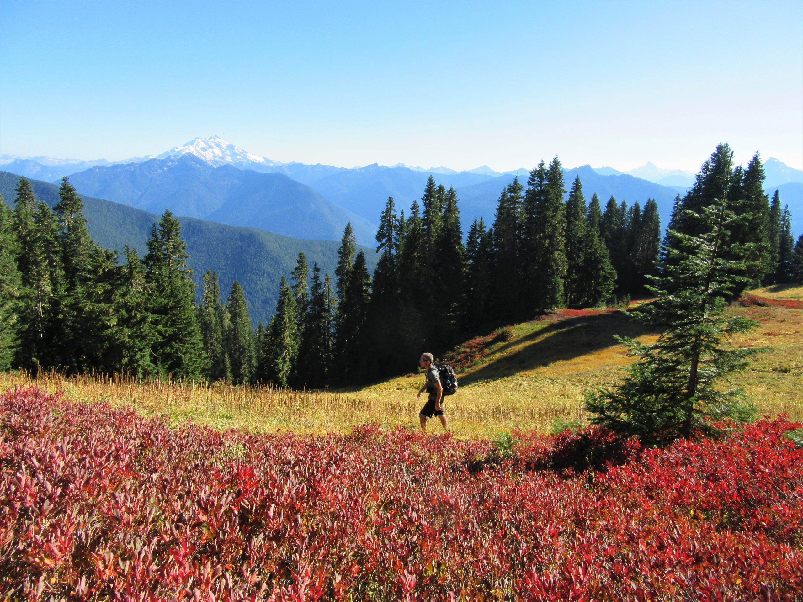
Read MoreHuckleberry Mountain — Savor solitude high above the Suiattle River
Quick Facts: Location: Suiattle River Valley Land Agency: National Forest Service Roundtrip: 12.6 miles Elevation Gain: 4500 feet Contact: Darrington Ranger District: Mount Baker Snoqualmie National Forest Green Trails Map: Mountain Loop Highway Map 111SX Notes: Glacier Peak Wilderness-wilderness rules apply; Practice Leave No Trace Principles Access: From Darrington travel north on SR 530 turning right…
Read MoreRound Lake — Find solitude on Lost Creek Ridge
Quick Facts: Location: Mountain Loop Highway near Darrington Land Agency: Mount Baker-Snoqualmie National Forest Roundtrip: 9.8 miles Elevation gain: 4300 feet Difficulty: strenuous Green Trails Map: Mountain Loop Highway 111SX Contact: Darrington Ranger District; Mount Baker-Snoqualmie National Forest Access: From Darrington follow the Mountain Loop Highway for 16 miles to a junction with Forest Road 49. Turn…
Read MoreGlacier Basin─Strike it rich with great views on this tough hike
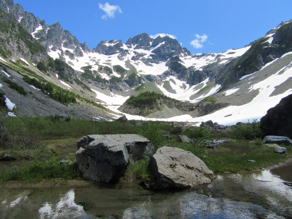
Quick Facts: Location: Mountain Loop Highway near Barlow Pass Land Agency: Mount Baker-Snoqualmie National Forest Roundtrip: 12.4 miles Elevation Gain: 2,300 feet Green Trails Map: Mountain Loop Highway 111SX Access: From Granite Falls follow the Mountain Loop Highway east for 30 miles to Barlow Pass. Hike begins by walking up gated Monte Cristo Road. Note: Northwest Forest…
Read MoreLookout Mountain
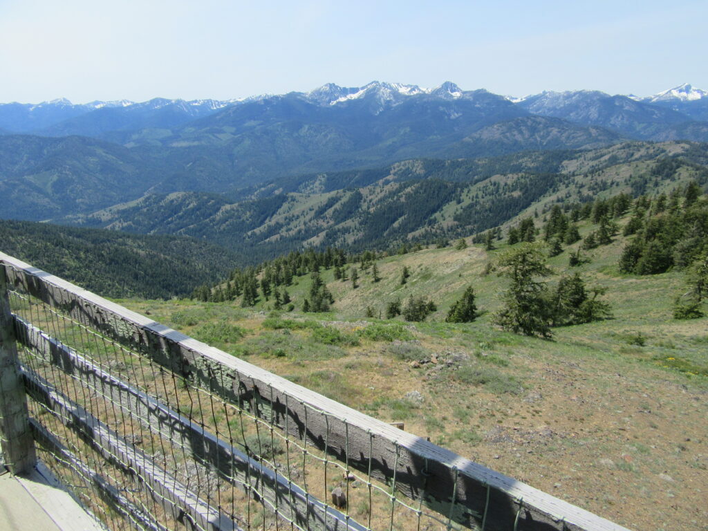
Look out over the Methow Valley and beyond Quick Facts: Location: Methow Valley, WA Distance: 3.0 miles one way Elevation Gain: 1170 feet Contact: Okanogan-Wenatchee National Forest, Methow Valley Ranger District Maps: Green Trails Methow Valley 51SX Recommended Guidebook: Day Hiking North Cascades (Mountaineers Books) Notes: trail open to mountain bikes and motorcycles; Final 1.5…
Read MoreWhitehorse Trail East–Hike along the North Fork Stilly
Quick Facts: Location: SR 530 Darrington Land Agency: Snohomish County Parks Roundtrip: 14 miles Elevation gain: 160 feet Difficulty: Easy Contact: Snohomish County Parks Green Trails Map: Mountain Loop Highway no. 111SX Recommended Guidebook: Day Hiking North Cascades (Mountaineers Books) Notes: Dogs allowed on leash Access: Take exit 208 off of I-5 and drive 25 miles east…
Read MoreHeather Lake — placid lake in a rugged cirque
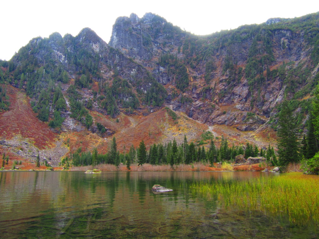
Quick Facts: Location: Mountain Loop Highway near Granite Falls Land Agency: Mount Baker-Snoqualmie National Forest Roundtrip: 5.0 miles Elevation gain: 1,100 feet Difficulty: moderate Green Trails Map: Mountain Loop Highway Special Series 111SX Contact: Darrington Ranger District: Mount Baker-Snoqualmie National Forest Access: From Granite Falls, follow the Mountain Loop Highway east. One mile beyond the Verlot Visitors…
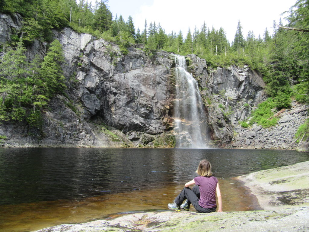
Read MoreTwin Falls Lake–Hike to a secluded lake between two waterfalls
Quick Facts: Location: Mountain Loop Highway near Granite Falls Land Agency: Washington Department of Natural Resources Roundtrip: 8.8 miles Elevation gain: 1,200 feet Green Trails Map: Mountain Loop HIghway 111SX Contact: Northwest Region Ranger District WA DNR (360) 856-3500 Notes: Discover Pass required; trail beyond Ashland Lakes sees little maintenance, is extremely difficult and not…
Read More