Posts Tagged ‘Day Hiking Eastern Washington’
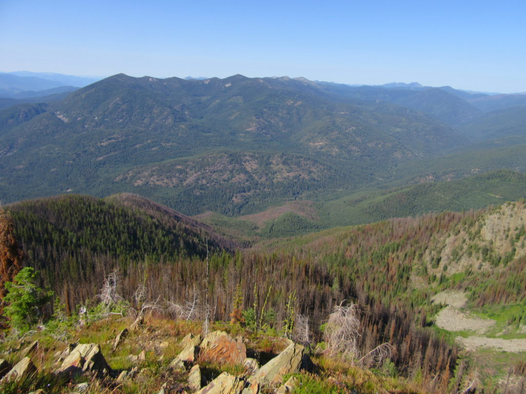
Abercrombie Mountain– Northeast Washington’s second highest summit is first rate when it comes to views
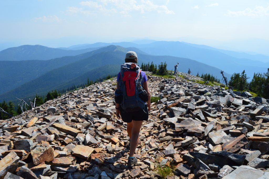
Quick Facts: Location: Abercrombie-Hooknose Roadless Area, Selkirk Mountains Land Agency: Colville National Forest Roundtrip: 7.4 miles Elevation gain: 2,300 feet Contact: Colville National Forest, Three Rivers Ranger District (Colville) (509) 684-3711 Notes: Access road requires high clearance vehicle Access: From Colville, Washington travel north on Aladdin Road (CR 9435) for 25 miles. Turn right on…
Read MoreWhistler Canyon-big on bighorn sheep and Okanogan River views
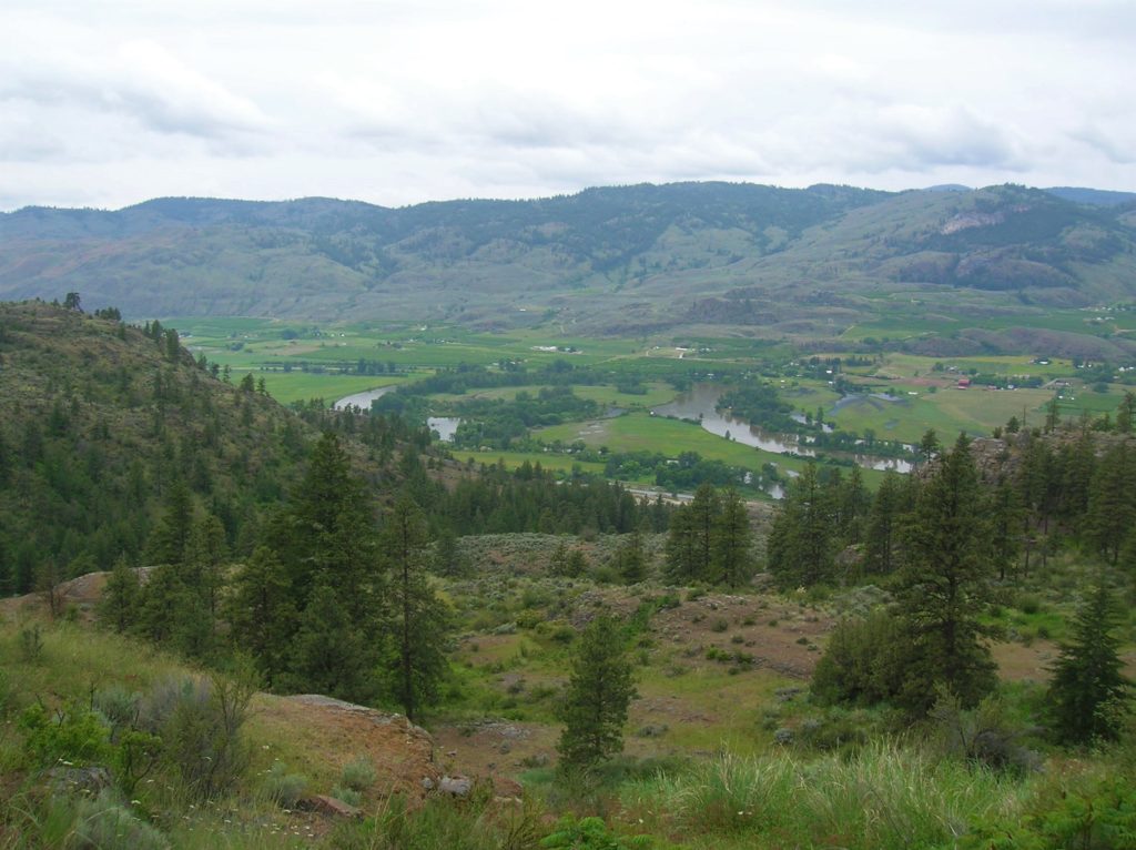
Location: Okanogan Valley near Oroville Land Agency: Okanogan-Wenatchee National Forest Roundtrip: 5.0 miles High Point: 1,950 feet Elevation gain: 1,250 feet Difficulty: moderate Contact: Pacific Northwest Trail Association Note: Dogs should be under strict control as to not disturb the bighorn sheep. Access: From Tonasket, follow US 97 north for 14.5 miles to trailhead turnoff…
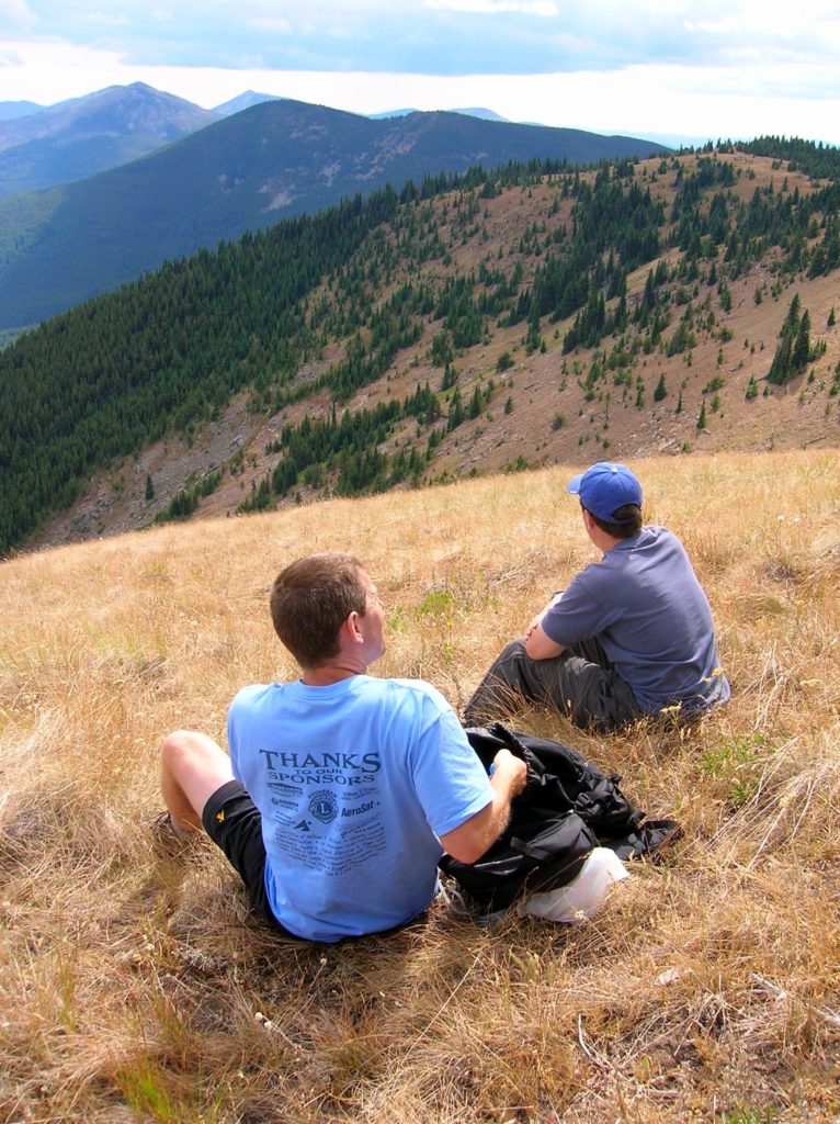
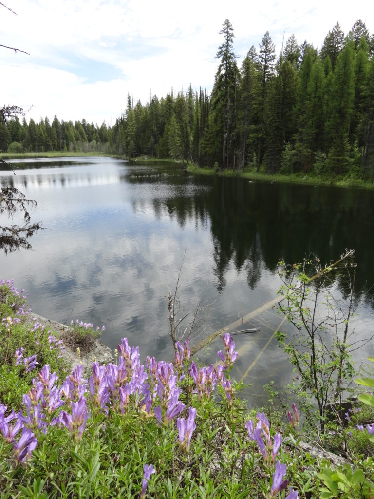
Read MoreHall Mountain via Noisy Creek –steep climb to stunning views and wildflowers
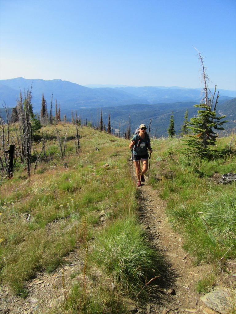
Quick Facts: Location: Selkirk Mountains Land Agency: Colville National Forest Round Trip: 14.0 miles Elevation Gain: 4,000 feet Contact: Sullivan Lake Ranger District, Colville National Forest Recommended Guidebook: Day Hiking Eastern Washington by Craig Romano and Rich Landers (Mountaineers Books) Notes: trail passes through a recent fire zone—be aware of hazards such as falling snags.…
Read MoreThirteenmile Canyon– Wander one of wildest wilderness canyons in Eastern Washington
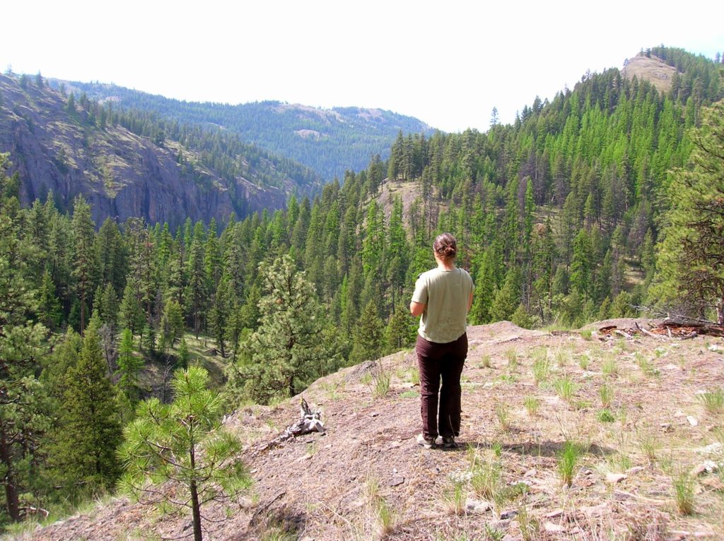
Location: Colville National Forest, Ferry County, Wa Land Agency: National Forest Service Roundtrip: 9.0 miles Elevation gain: 1,700 feet Contact: Colville National Forest, Republic Ranger District Notes: beware of rattlesnakes Access: From Republic follow SR 21 south 12.3 miles to trailhead located just within the Colville Indian Reservation Boundary. If coming from Wilbur, follow SR…
Read MoreHall Mountain via Noisy Creek– It’s a haul to this old lookout site
Quick Facts: Location: Selkirk Mountains, Eastern Washington Land Agency: National Forest Service Roundtrip: 14 miles Elevation Gain: 4130 feet Contact: Sullivan Lake District, Colville National Forest Notes: Practice Leave No Trace principles; grizzly habitat, trail passes recent burn zone–use caution Access: From Newport, Washington follow SR 20 north (west) 47 miles to the junction with SR 31 in…
Read MoreMount Spokane–Savor spectacular views from this prominent peak above Washington’s second city
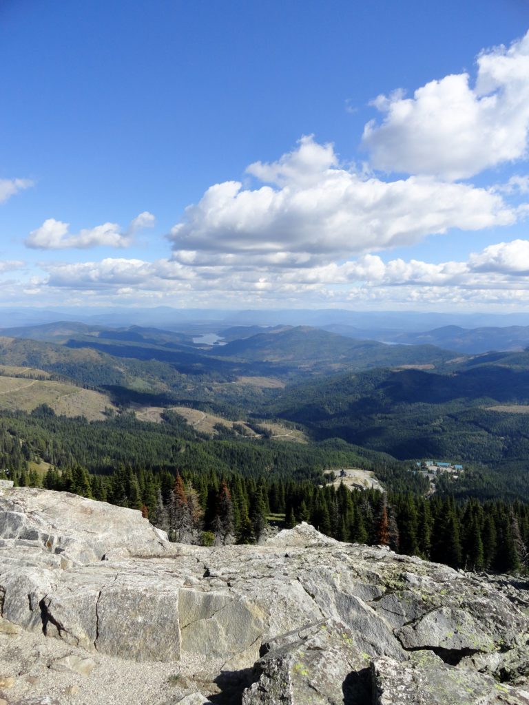
Location: Mount Spokane State Park Land Agency: Washington State Parks Roundtrip: 6.0 miles High Point: 5,883 feet Elevation gain: 1,000 feet Difficulty: moderate Map: Mount Spokane State Park (Dharma Maps) Contact: Washington State Parks Note: Discover Pass Required; dogs permitted on leash Access: From Spokane, follow US 2 north 10 miles to Mead. Turn right…
Read MoreTucannon River– Riverside trail will have you singing the Blues

Quick Facts: Location: Blue Mountains Land Agency: Umatilla National Forest Roundtrip: 8.0 miles Elevation Gain: 500 feet Contact: Umatilla National Forest, Pomeroy Ranger District Detailed Information: Day Hiking Eastern Washington (Mountaineers Books) Notes: Northwest Forest Pass or Interagency Pass required Access: From Dayton, head east on Patit Road for 14 miles turning left onto Hartsuck Grade following 4.0…
Read MoreFrenchman Coulee — This Canyon above the Columbia River C’est magnifique!
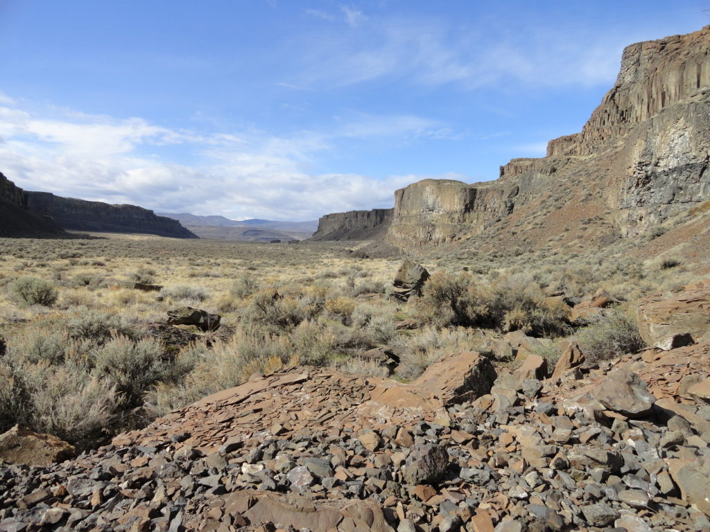
Quick Facts: Location: Columbia River Basin Land Agency: Washington Department of Fish and Wildlife Roundtrip: 4.0 miles Elevation gain: 100 feet Contact: Washington Department of Fish and Wildlife, Columbia Basin Wildlife Area (Moses Lake) Notes: Discover Pass required Detailed Source: Day Hiking Eastern Washington (Mountaineers Books) Access: Follow I-90 to Exit 143 and head north…
Read MoreWapaloosie Mountain–a wapaloosie of a peak indeed!
Location: Kettle River Range Land Agency: National Forest Service Roundtrip: 6.0 miles Elevation gain: 2,000 feet Contact: Colville National Forest Access: From Republic, head east on SR 20 for 21 miles turning left onto FR 2030 (Albion Hill Road). From Kettle Falls, head west on SR 20 for 22 miles, turning right onto FR 2030. Follow FR…
Read MoreSwan Lake and Butte–listen to the cry of the loon
Quick Facts: NOTE: Road to Swan Lake has been damaged due to winter storms and may not be open. Call Republic Ranger District for road status (509) 775-7400 Location: Colville National Forest, near Republic Land Agency: US Forest Service Roundtrip: 3.1 miles Elevation gain: 360 feet Contact: Colville National Forest Notes: Dogs permitted on leash, but…
Read More