Posts Tagged ‘Day Hiking Eastern Washington’
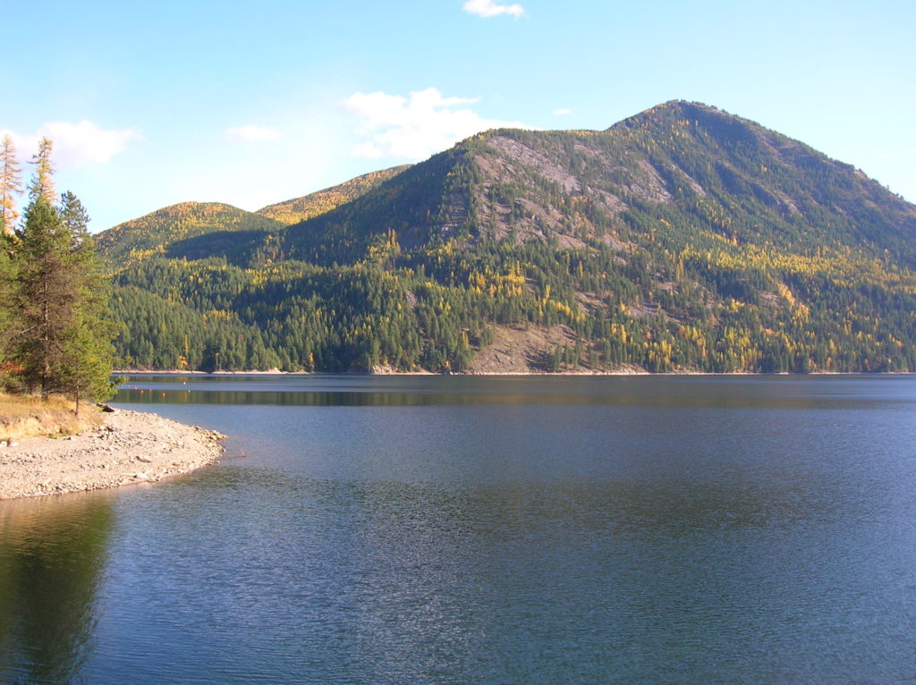
Sullivan Lake — Enjoy an “On Golden Pond” moment
Quick Facts: Location: Selkirk Mountains Northeastern Washington Land Agency: Colville National Forest Roundtrip: 9.2 miles Elevation Gain: 650 feet Access: From Metaline Falls, Washington drive 2 miles north on SR 31. Turn right onto Sullivan Lake Road. Continue on this road for 4.7 miles before turning left onto FR 22. Proceed 0.4 mile, then turn right onto…
Read MoreSherman Peak Loop– In general, the views are great
Quick Facts: Location: Kettle River Range, Ferry County Land Agency: National Forest Service Roundtrip: 6.0 miles Elevation gain: 1200 feet Contact: Colville National Forest, Republic Ranger District Notes: Hunting season has begun, wear orange Access: From Republic, head east on SR 20 for 16.8 miles to Sherman Pass. Turn left and follow access road .1…
Read MoreCopper Butte via Old Stage Trail– Take a historic route to the rooftop of the Kettle River Range
Quick Facts: Location: Kettle River Range Land Agency: Colville National Forest Roundtrip: 6.0 miles Elevation Gain: 1615 feet Contact: Colville National Forest, Three Rivers Ranger District-Kettle Falls Access: From Republic, head east on SR 20 for 21 miles turning left onto FR 2030 (Albion Hill Road). From Kettle Falls, head west on SR 20 for 22 miles turning…
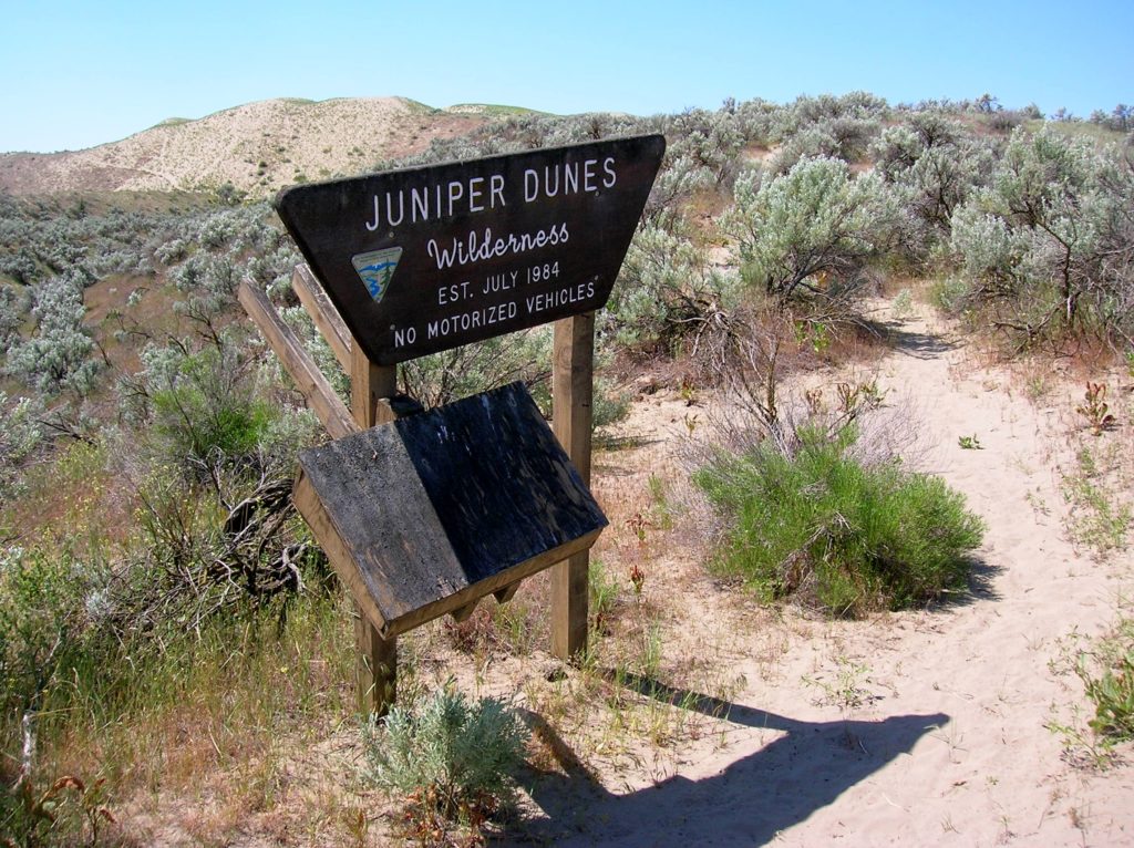
Read MoreJuniper Dunes Wilderness –A wilderness “sans” trails
Quick Facts Location: Franklin County, Eastern Washington Land Agency: Bureau of Land Management Roundtrip: 2.0 miles Elevation gain: 200 feet Difficulty: Moderate Contact: Bureau of Land Management (BLM) Spokane Office Notes: All approaches to this wilderness area are currently via private roads and land. The southern approach cannot be recommended due to poor roads and changing…
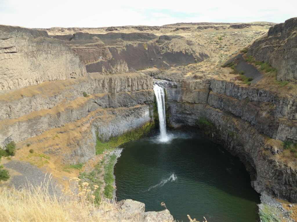
Read MorePalouse Falls–showy cataract of Eastern Washington’s coulee country
Quick Facts: Location: Channeled Scablands Eastern Washington Land Agency: Washington State Parks Roundtrip: 1.3 miles Elevation Gain: 150 feet Contact: Washington State Parks Guidebook: Day Hiking Eastern Washington (Mountaineers Books) Notes: Discover Pass required. Dogs permitted on leash. Watch for rattlesnakes Access: From Pasco, take US 395 north to Connell. Then follow SR 260 east for 25 miles…
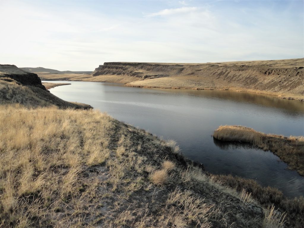
Read MoreBlythe and Chukar Lakes─Birds and beauty in the Channeled Scablands
Location: Columbia National Wildlife Refuge, Grant County Land Agency: U.S. Department of the Interior Contact: Columbia National Wildlife Refuge Roundtrip: 3.0 miles Elevation Gain: 300 feet Note: Dogs permitted on leash. Be snake and tick aware Good to know: dog-friendly, kid-friendly, spring wildflowers, exceptional birdwatching, snow-free hike Access: From Spokane, take I-90 west to Exit 179…
Read MoreColumbia Mountain─Historic peak overflows with autumn colors
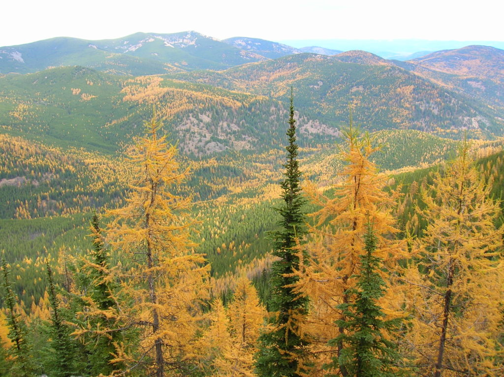
Quick Facts: Location: Kettle River Range, Sherman Pass Land Agency: Colville National Forest Roundtrip: 8.0 miles Elevation Gain: 1,360 feet Access: From Republic travel east 17 miles on SR 20 to trailhead at Sherman Pass. From Kettle Falls, follow SR 20 for 26 west miles to Sherman Pass. Contact: Colville National Forest, Republic Ranger District Good…
Read MoreWhite Bluffs Hanford Reach
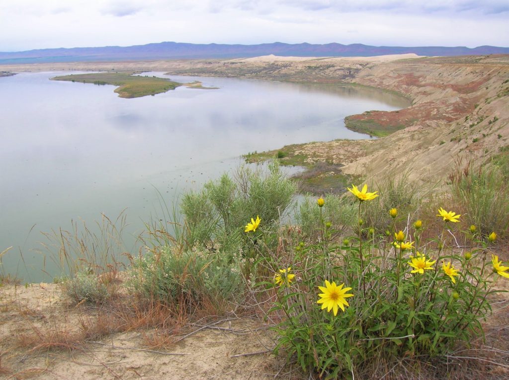
Wilderness and stark beauty along the Columbia River Quick Facts: Location: Hanford Reach National Monument Round Trip: 7.0 miles Elevation Gain: 500 feet Contact: Hanford Reach National Monument, Mid-Columbia River National Wildlife Recreation Complex; Detailed Information: Day Hiking Eastern Washington (Mountaineers Books) Notes: watch for rattlesnakes; pack lots of water Access: From Ellensburg, follow I-90…
Read MoreBarnaby Buttes
Mega-fauna hot spot in the Kettle River Range Quick Facts: Location: Kettle River Range Land Agency: National Forest Service Distance: 7.4 miles Elevation Gain: 1975 feet Contact: Colville National Forest Three Rivers Ranger District Recommended Guidebook: Day Hiking Eastern Washington (Mountaineers Books) Access: From Kettle Falls, travel west on SR 20 for 14 miles turning…
Read MoreOld Kettle Falls Trail
Hike through an old town site along a tamed river Quick Facts: Location: Lake Roosevelt, Stevens County, WA Land Agency: National Park Service Roundtrip: 2.6 miles Elevation Gain: minimal Contact: Lake Roosevelt National Recreation Area Detailed Information: Day Hiking Eastern Washington (Mountaineers Books) Notes: Dogs permitted on leash Access: From Kettle Falls head west on SR 20-US 395…
Read More