Posts Tagged ‘Columbia River Gorge National Scenic Area’
Mount Defiance─ the Undisputed Granddaddy of the Gorge
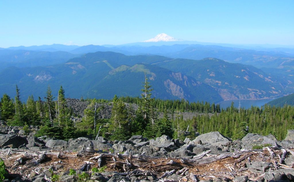
Quick Facts: Location: Columbia River Gorge National Scenic Area, Oregon Land Agency: National Forest Service Roundtrip: 13.2 miles Elevation Gain: 5,130 feet Green Trails Map: Columbia River Gorge-West Map 428S Access: From Portland follow I-84 east to Exit 55 to the Starvation Creek Trailhead. Contact: Columbia Gorge National Scenic Area Recommended Guidebook: Day Hiking Columbia…
Read MoreBear Lake—A bear of a lake but not of a hike!
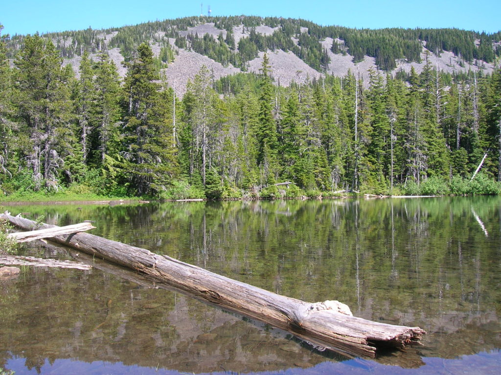
Quick Facts: Location: Mark O Hatfield Wilderness, Columbia River Gorge National Scenic Area, Oregon Land Agency: National Forest Service Roundtrip: 2.4 miles Elevation Gain: 575 feet Green Trails Map: Columbia River Gorge -West No 428S Contact: Mount Hood National Forest, Hood River Ranger Station Notes: Wilderness rules apply Access: From Portland follow I-84 east to…
Read MoreLatourell Falls─First in a long line of stunning Columbia River Gorge waterfalls
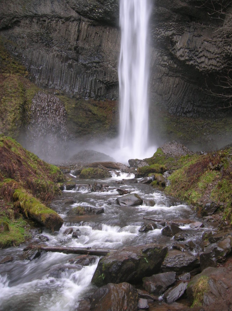
Quick Facts: Location: Columbia River Gorge National Scenic Area Land Agency: Oregon State Parks Roundtrip: 2.3 miles Elevation Gain: 650 feet Green Trails Map: Columbia River Gorge- West no. 428S Contact: Guy Talbot State Park Access: From Portland follow I-84 east to Exit 28. Then follow the Historic Columbia Highway west 2.6 miles to trailhead.…
Read More