Posts Tagged ‘bird-watching’
Peshastin Pinnacles — Hike though a magical kingdom of rocky spires
Quick Facts: Location: Wenatchee River Valley near Leavenworth Land Agency: Washington State Parks Roundtrip: 1.5 miles Elevation gain: 400 feet Green Trails Maps: Wenatchee Mission Ridge no. 211S Contact: Peshastin Pinnacles State Park Notes: Discover Pass required; dogs must be leashed. Access: From Leavenworth follow US 2 east for 9 miles turning left onto North…
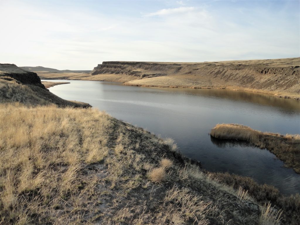
Read MoreBlythe and Chukar Lakes─Birds and beauty in the Channeled Scablands
Location: Columbia National Wildlife Refuge, Grant County Land Agency: U.S. Department of the Interior Contact: Columbia National Wildlife Refuge Roundtrip: 3.0 miles Elevation Gain: 300 feet Note: Dogs permitted on leash. Be snake and tick aware Good to know: dog-friendly, kid-friendly, spring wildflowers, exceptional birdwatching, snow-free hike Access: From Spokane, take I-90 west to Exit 179…
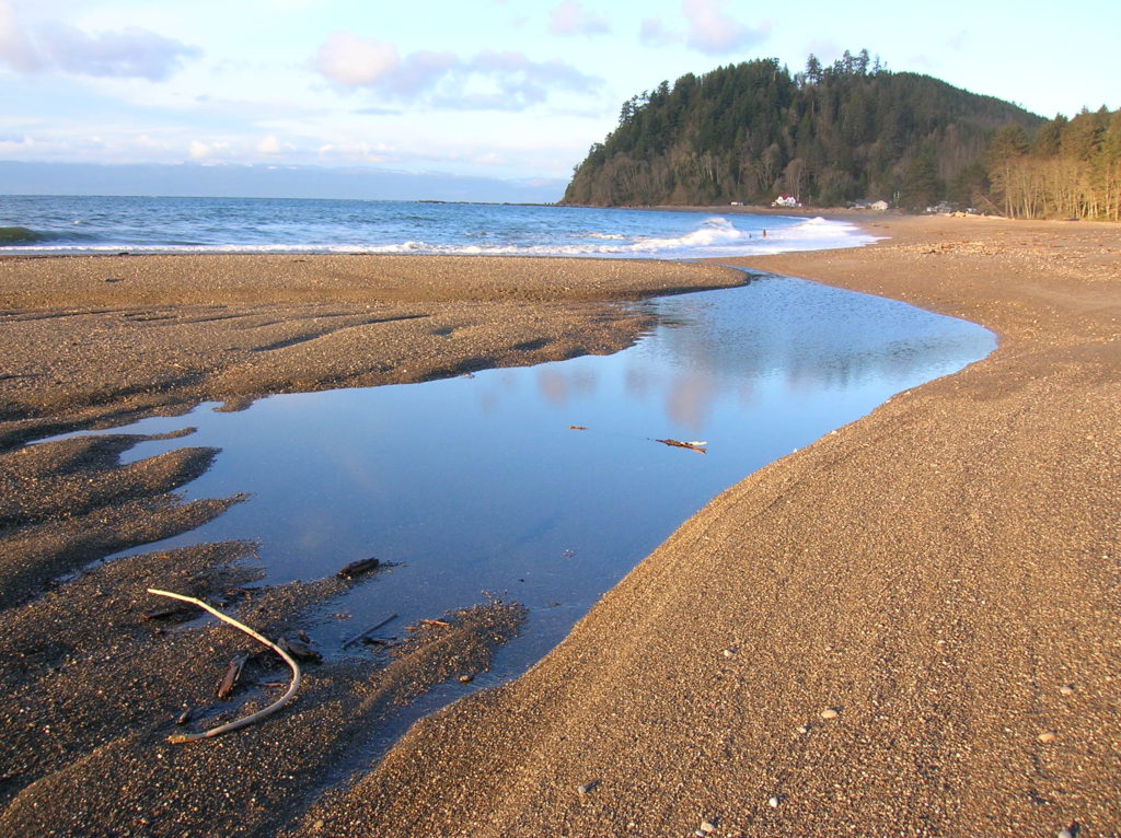
Read MoreClallam Bay Spit — Explore Washington’s deserted and spectacular North Coast
Quick Facts: Location: Strait of Juan de Fuca, North Olympic Peninsula Land Agency: Clallam County Parks and Washington State Parks Roundtrip: 2.1 miles Elevation Gain: minimal Contact: Clallam County Parks Notes: Dogs permitted on leash Access: From Port Angeles follow US 101 west for 5.4 miles to SR 112. Continue west for 44 miles on SR 112 to the community…
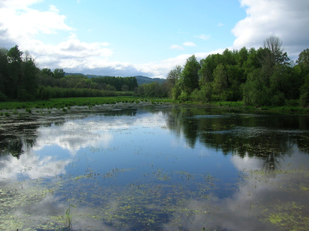
Read MoreVirginia Lake─Sweet bird watching spot on Sauvie Island
Quick Facts: Location: Sauvie Island (Portland, Oregon) Land Agency: Willamette River Greenway, Wapato Access (Oregon State Parks) Roundtrip: 2.4 miles Elevation Gain: 50 feet Notes: Dogs must be leashed. Access: From downtown Portland, follow US 30 (NW St Helens Road) west for just shy of 11 miles turning right onto the Suavie Island Bridge. Then…
Read MoreCape Flattery─Hike to the northwestern most point in Washington State
Quick Facts: Location: Olympic Peninsula Coast Land Agency: Makah Nation Reservation Roundtrip: 1.5 miles Elevation Gain: 300 feet Contact: Makah Indian Nation Green Trails Map: Cape Flattery, WA- No 98S Notes: Dogs allowed on leash, Makah Recreation Pass required ($20, available at Washburn’s General Store ,the Makah Museum and several other locations in Neah Bay).…
Read MoreJacobs Point Park
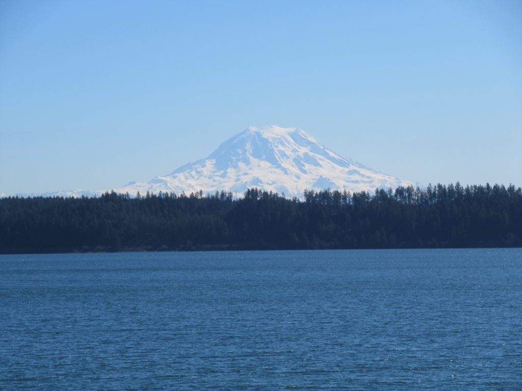
Park rich with views, history, and wildlife on Oro Bay Quick Facts: Location: Anderson Island Land Agency: Anderson Island Park and Recreation Department Round Trip: 2.5 mile loop Elevation Gain: minimal Contact: Anderson Island Park and Recreation Department Detailed Information: Urban Trails Tacoma (Mountaineers Books) Notes: Dogs prohibited Access: From Steilacoom–Anderson Island Ferry terminal take…
Read MoreOsprey Trails — Saunter through wildlife habitat along the Sultan River
Quick Facts: Location: Sultan, Snohomish County Land Agency: City of Sultan Roundtrip: 2.0 miles Elevation Gain: level Access: From Everett, follow US 2 east to Sultan. Turn left onto 3rd Street and drive 0.6 mile north. Then turn left onto High Street and continue 0.1 mile to Osprey Park. Contact: City of Sultan Notes: Dogs permitted on leash Good to…
Read MoreCheam Lake Wetlands–Birding hotspot where the North Cascades meet the Fraser River
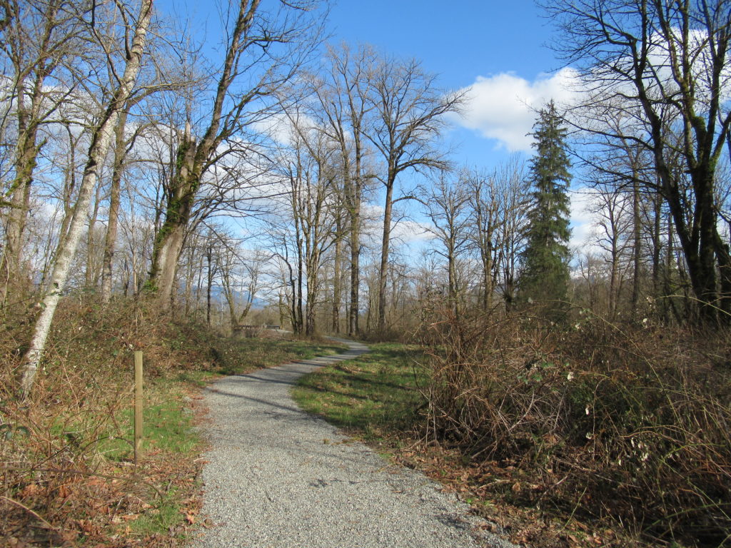
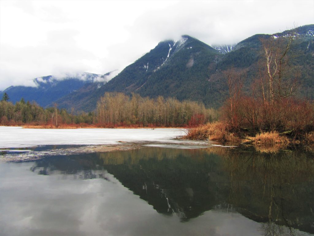
Quick Facts: Location: Popkum, Fraser Valley Regional District, BC Land Agency: Fraser Valley Regional Parks Round Trip: 2.5 miles (4.0 km) roundtrip Elevation Gain: minimal Contact: Fraser Valley Regional Parks Notes: Dogs prohibited Access: From Vancouver, BC follow Trans-Canada Highway 1 east to Exit 138 (12 miles /20 kilometers east of Chilliwack). Turn left and…
Read MoreBig Ditch─Dig in for some excellent swan and snow geese viewing
Quick Facts Location: Skagit Bay, Stanwood Land Agency: Washington Department of Fish and Wildlife Roundtrip: 3.6 miles Elevation Gain: None Access: From Exit 212 on I-5 head west on SR 532 for five miles to the town of Stanwood. Turn right onto the Pioneer Highway and proceed for 2.6 miles to the junction with the Old…
Read More
