Region
Puget Sound Islands & Lowlands
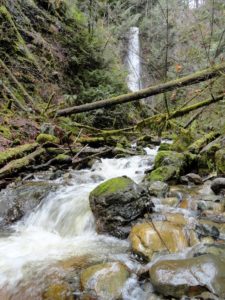
Quick Facts: Location: Near Lake Roesiger between Monroe and Granite Falls Land Agency: Washington DNR Roundtrip: 5.2 miles Elevation gain: 700 feet Contact: Washington DNR Notes: Discover Pass Required. Do not block gates, nor drive past it if open. Active logging area, be alert to trucks on roadway and yield right-of-way. Access: From Monroe, follow…
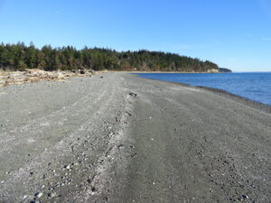
Quick Facts: Location: Indian Island near Port Hadlock Land Agency: Jefferson County Parks Roundtrip: 4.0 miles Elevation Gain: 70 feet Notes: Detailed information can be found in Day Hiking Olympic Peninsula (Mountaineers Books) Contact: Jefferson County Parks Access: From Kingston, drive State Route 104 turning right onto SR 19. Then continue north for 9 miles turning right onto…
Quiet Alternative to St Edward State Park Quick Facts: Location: Kirkland Land Agency: King County Parks Distances: up to 9.5 miles of trails Elevation Gain: up to 200 feet Contact: King County Parks Detailed Information: Urban Trails Eastside (Mountaineers Books) Notes: parking area on NE 138th Street gated at dusk Access: From Kenmore follow 68th…
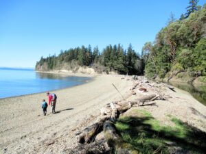
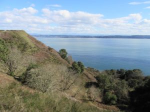
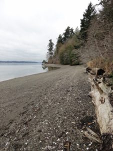
Hike to a cove and beach on Anderson Island Quick Facts: Location: Anderson Island Land Agency: Anderson Island Park and Recreation District Round Trip: 1.5 miles roundtrip Elevation Gain: 190 feet Contact: Andy’s Marine Park Detailed Information: Urban Trails Tacoma (Mountaineers Books) Notes: dogs prohibited. Trails can be slick in wet weather Access: From Anderson…
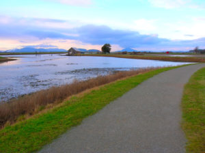
Quick Facts: Location: Skagit County Land Agency: Padilla Bay National Estuarine Research Reserve Roundtrip: 4.8 miles Elevation Gain: 30 feet Contact: Padilla Bay NERR Access: From Burlington (exit 231 on I-5) proceed through roundabouts and head west on Josh Wilson Road for 6.4 miles. Upon entering the village of Bay View turn left onto 2nd Street…
Quick Facts: Location: Edmonds Land Agency: Edmonds Parks and Recreation Department Roundtrip: About 1.5 miles of trails Elevation Gain: up to 300 feet Contact: Edmonds Parks and Recreation Access: From Everett or Seattle take I-5 to Exit 179. Then head west on 220th Street SW for 2.1 miles. Turn right and head north on 96th Ave…
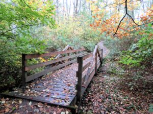
Quick Facts: Location: Maltby Land Agency: Snohomish County Parks Roundtrip: 3.8 miles Elevation Gain: 75 feet Special Note: Dogs must be leashed. Contact: Snohomish County Parks Access: From SR 522 in Maltby (5.0 miles east of Woodinville; 8.0 miles west of Monroe) head east on Paradise Lake Road for 1.7 miles to trailhead. Snohomish County…
Quick Facts: Location: Bellingham Distance: more than 9.0 miles of trails Elevation Gain: up to 600 feet Contact: City of Bellingham Park Map: Square One Maps Chuckanut Recreation Area Notes: on-leash and off-leash trails Trailhead directions: From Bellingham follow I-5 south to Fairhaven Exit 252. Then continue south on Samish Way for 2.3 miles turning…
Quick Facts: Location: Vashon Island Land Agency: King County Parks Round Trip: More than 10 miles of trails Elevation Gain: up to 450 feet Contact: King County Parks Detailed Information: Urban Trails Seattle (Mountaineers Books) Notes: Dogs allowed on leash Access: From Seattle take Washington State Ferry from Fauntleroy (West Seattle) to Vashon Island Ferry…
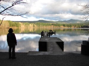
Quick Facts: Location: Olympia, Washington Land Agency: City of Olympia Parks and Recreation Roundtrip: 2.5 miles Elevation Gain: 300 feet Notes: Dogs must be on a leash. Access: From Lacey, follow I-5 south to Olympia taking Exit 105B to Plum Street. From Tumwater, follow I-5 north to Olympia taking Exit 105. Turn right onto Henderson…