Region
Oregon
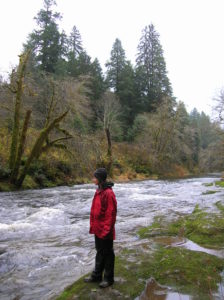
Quick Facts: Location: Drift Creek Wilderness, Siuslaw National Forest Land Agency: National Forest Service Roundtrip: 7.2 miles Map: Online from Forest Service Elevation gain: 1,400 feet Difficulty: moderate Contact: Central Coast Ranger District (Waldport), Siuslaw National Forest Notes: Drift Creek Wilderness is south of Newport. Do not confuse with popular Drift Creek Falls near Lincoln…
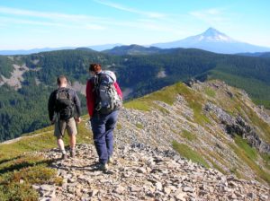
Quick Facts: Location: Mark Hatfield Wilderness, Columbia River Gorge, Oregon Land Agency: Mount Hood National Forest Roundtrip: 6.0 miles Elevation gain: 1,300 feet Green Trails Map: Columbia River Gorge -West No 428S Contact: Mount Hood National Forest, Hood River Ranger Station Notes: Northwest Forest Pass or Inter-agency Pass Required Recommended Guidebook: Day Hiking Columbia River…
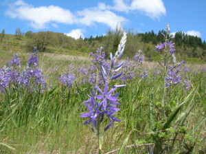
Quick Facts: Location: Willamette Valley south of Eugene Land Agency: Lane County Parks Roundtrip: 3.0 miles Elevation gain: 1,050 feet Map: Park map available online Contact: Friends of Buford Park and Mount Pisgah Notes: $5.00 day use fee; dogs must be leashed Access: From Eugene follow Franklin Blvd (Exit 189 I-5 southbound or Exit 188B northbound…
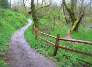
Quick Facts: Location: Sellwood neighborhood, Portland, Oregon Land Agency: Portland Parks and Recreation Roundtrip: 2.8 miles Elevation gain: 60 feet Contact: Portland Parks and Recreation Notes: dogs must be leashed Access: From Ross Island Bridge follow US 26 east (Powell Boulevard) immediately turning right onto SR 99E (SE McLoughlin Boulevard). In just over one mile exit…
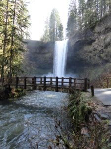
Quick Facts: Location: Silver Falls State Park near Silverton, Oregon Land Agency: Oregon State Parks Distance: 7.2 miles Elevation Gain: 600 feet Contact: Silver Falls State Park Notes: Dogs prohibited; $5.00 per vehicle entrance fee Access: From Salem, Oregon follow SR 22 east from I-5 for 5 miles to Exit 7. Then follow SR 214…
Quick Facts: Location: Badger Creek Wilderness Land Agency: National Forest Service Roundtrip: 2.5 miles Elevation Gain: 550 feet Contact: Barlow Ranger District Mount Hood National Forest Notes: Northwest Trail Pass or interagency pass required Green Trails Map: Mount Hood Climbing / Timberline Trail no. 462SX Access: From Portland: Follow I-84 east to Exit 64 in Hood River. Then…

Quick Facts: Location: Columbia River Gorge National Scenic Area Land Agency: Oregon Nature Conservancy and Mayer State Roundtrip: 3.2 miles Elevation Gain: 1,000 feet Notes: Dogs prohibited; Trail closed from Nov 1 through Apr 30 to limit tread damage. Practice Leave No Trace Principles Green Trails Map: Columbia River Gorge East No. 432S Contact: Oregon…
Location: Forest Park, Portland, Oregon Land Agency: Portland Parks and Recreation Roundtrip: 2.4 miles High Point: 425 feet Elevation gain: 300 feet Difficulty: easy Green Trails Map: Forest Park No 426S Contact: Contact/permits: Portland Parks and Recreation ; Forest Park Conservancy; Notes: dogs must be leashedAccess: From downtown Portland, follow NW Vaughn Street west turning…
- « Previous
- 1
- 2