Wildflowers
Bedal Basin–Lonesome and beautiful basin beneath awe-inspiring Sloan Peak
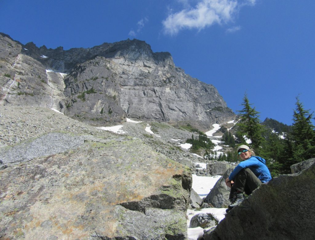
Location: Mountain Loop Highway Land Agency: Mount Baker-Snoqualmie National Forest Roundtrip: 5.2 miles High Point: 4,650 feet Elevation gain: 1,900 feet Difficulty: challenging Green Trails Maps: Mountain Loop Highway No. 111SX Contact: Darrington Ranger District: Mount Baker Snoqualmie National Forest Access: Take Exit 208 off of I-5 following SR 530 east for 32 miles to Darrington.…
Read MoreRoyal Basin–Crown jewel of the Olympic Rain shadow

Location: Northeast Olympic Peninsula Land Agency: National Park Service Roundtrip: 16.0 miles Elevation gain: 2700 feet Contact: Olympic National Park Wilderness Information Center Green Trails Map: Olympic Mountains East No. 168SX Notes: NW Forest Pass or Interagency Pass required; Dogs-prohibited at national park boundary (at 1.3 miles) Good to Know: Exceptional Wildflowers, Backpacking options Access: Take…
Read MoreLower Big Quilcene River─Lowland hike teems with primeval beauty
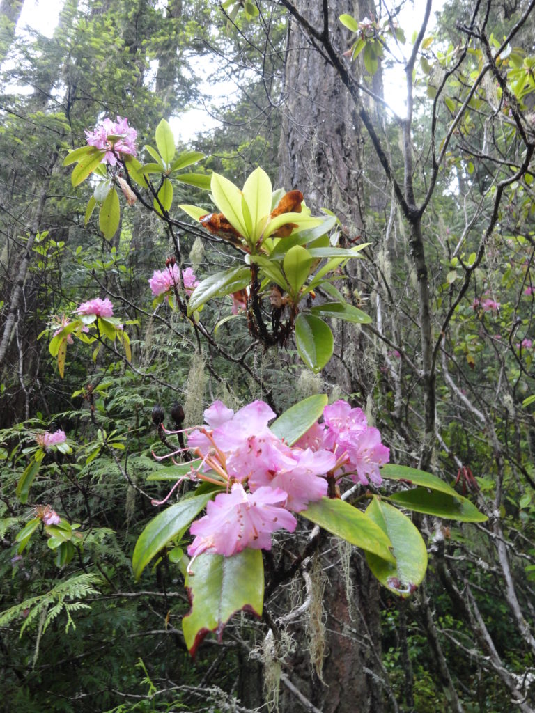
Quick Facts: Location: Olympic National Forest, Hood Canal District Land Agency: National Forest Service Roundtrip: To Camp Jolly 10.2 miles Green Trails Map: Olympic Mountains East 168SX Elevation Gain: 800 feet Contact: Hood Canal District, Quilcene Good to Know: kid-friendly, dog-friendly, open to mountain bikes, backpacking opportunities, old-growth, exceptional rhodies, Practice Leave No Trace Principles Access: From…
Read MoreSourdough Mountain Lookout–Trail is 5.5 miles long and one mile straight up!
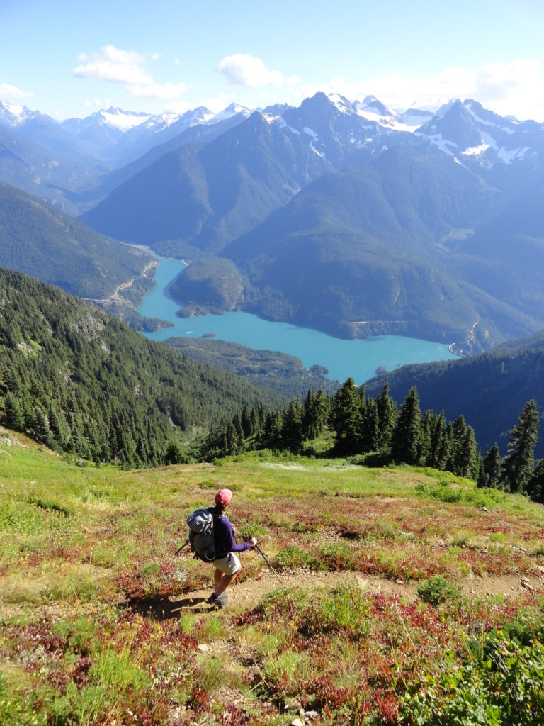
Quick Facts: Location: North Cascades Highway Land Agency: North Cascades National Park Roundtrip: 11.0 miles Elevation Gain: 5,100 feet Green Trails Maps: Diablo, WA-No. 48 Access: From Marblemount, follow the North Cascades Highway (SR 20) east for 20 miles. Turn left onto Diablo Road and proceed 0.7 mile crossing an iron bridge spanning Stetattle Creek. Bear right reaching the trailhead in…
Read MoreEvergreen Mountain—short and easy hike in the Wild Sky
Quick Facts: Location: Wild Sky Wilderness near Skykomish River Valley Land Agency: National Forest Service Roundtrip: 3.0 miles Elevation Gain: 1,400 feet Access: From Everett head east on US 2 for 50 miles (just past Skykomish) turning left onto Beckler River Road (FR 65). Continue 12.6 miles to a five-way junction at Jack Pass. Take…
Read MoreImage Lake — Wilderness lake reflects Snohomish County’s supreme peak
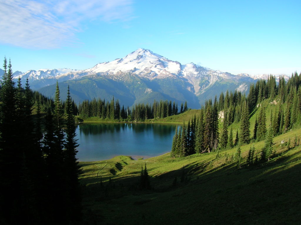
Quick Facts: Location: Glacier Peak Wilderness Land Agency: Mount Baker-Snoqualmie National Forest Roundtrip: 33.0 miles Elevation Gain: 4,700 feet Green Trails Map: Mountain Loop Highway 111SX Contact: Darrington Ranger District: Mount Baker Snoqualmie National Forest Notes: NW Forest or Interagency Pass required; No camping within ¼ mile of Image Lake—use established campsites; no fires at lake; respect re-vegetation…
Read MoreCircle Peak–Round this summit for fantastic 360-degree views

Location: White Chuck River Valley, Mountain Loop Highway Land Agency: Mount Baker-Snoqualmie National Forest Roundtrip: 18.6 miles High Point: 5,983 feet Elevation gain: 4,800 feet Difficulty: challenging Notes:FR 23 is currently is closed at mile 4 due to a washout Green Trails Maps: Mountain Loop Highway no. 111SX Recommended Guidebook: Day Hiking North Cascades 2nd…
Read MoreFlower Dome –Beauty blossoms from this peak deep within the Glacier Peak Wilderness
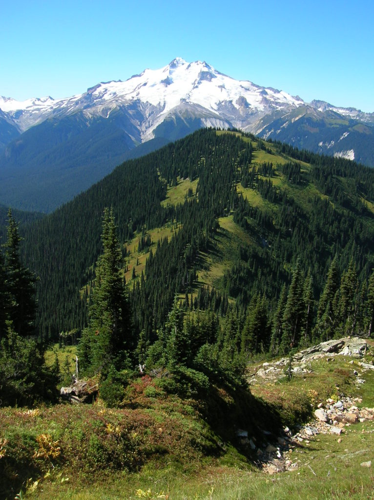
Quick Facts: Location: Glacier Peak Wilderness Land Agency: Mount Baker-Snoqualmie National Forest Roundtrip: 21.0 miles Elevation Gain: 3,700 feet Green Trails Map: Holden, WA- No. 113 Contact: Darrington Ranger District: Mount Baker Snoqualmie National Forest Notes: Northwest Forest Pass or Interagency Pass required Access: From Everett, head 85 miles east on US 2 to Coles Corner turning left onto…
Read MoreGibraltar Trail– New trail offers wildflowers and solid views
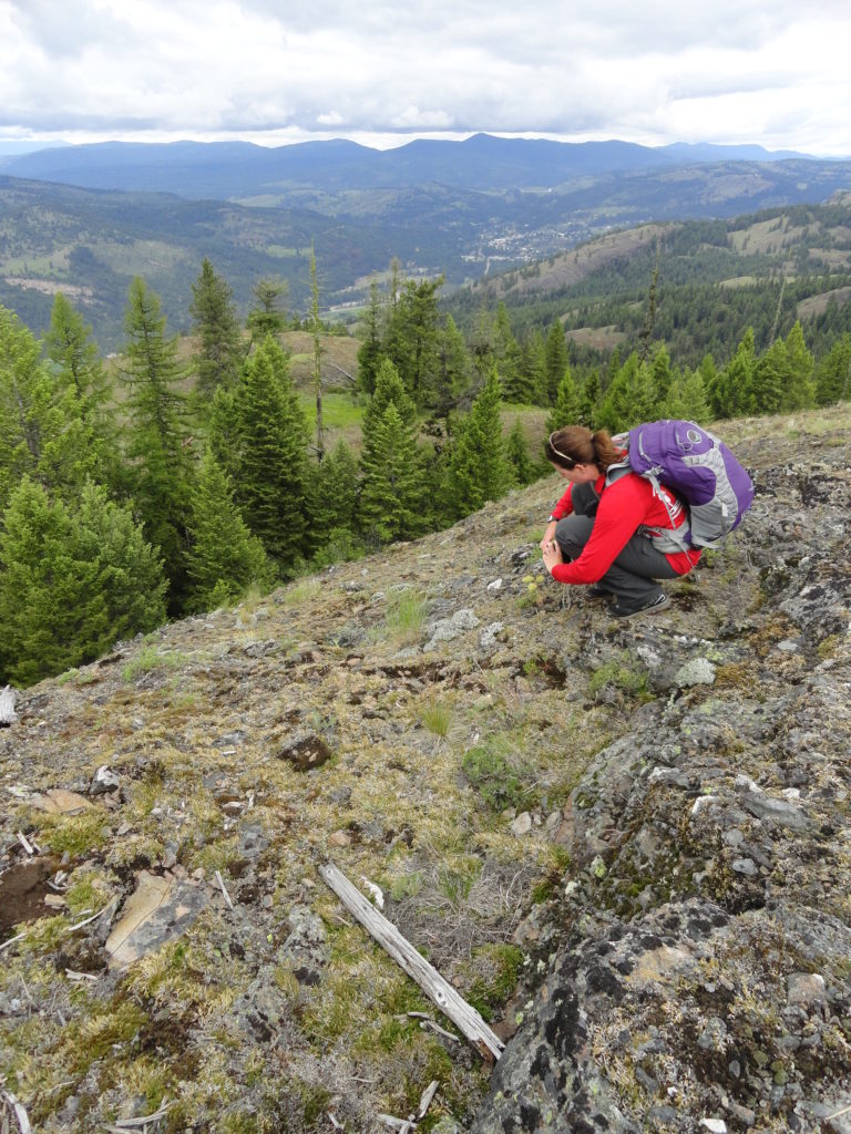
Quick Facts: Location: Colville National Forest, Ferry County, Wa Land Agency: National Forest Service Roundtrip: 3.2 miles Elevation gain: 550 feet Contact: Colville National Forest, Republic Ranger District Notes: Trail is currently under construction. Check with ranger district on progress, changes and/or closures. Once completed, trail will be a loop over 12 miles long with…
Read More