Urban Trails Everett
Meadowdale Beach—Reach the Beach through an Emerald Gulch
Quick Facts: Location: Lynnwood Land Agency: Snohomish County Parks Roundtrip: 2.5 miles Elevation Gain: 425 feet Contact: Snohomish County Parks Special Notes: Dogs must be leashed; park open 7 am to dusk: do not park on road Access: From Everett, head 10 miles south on I-5 to exit 183. Follow 164th Street SW west for…
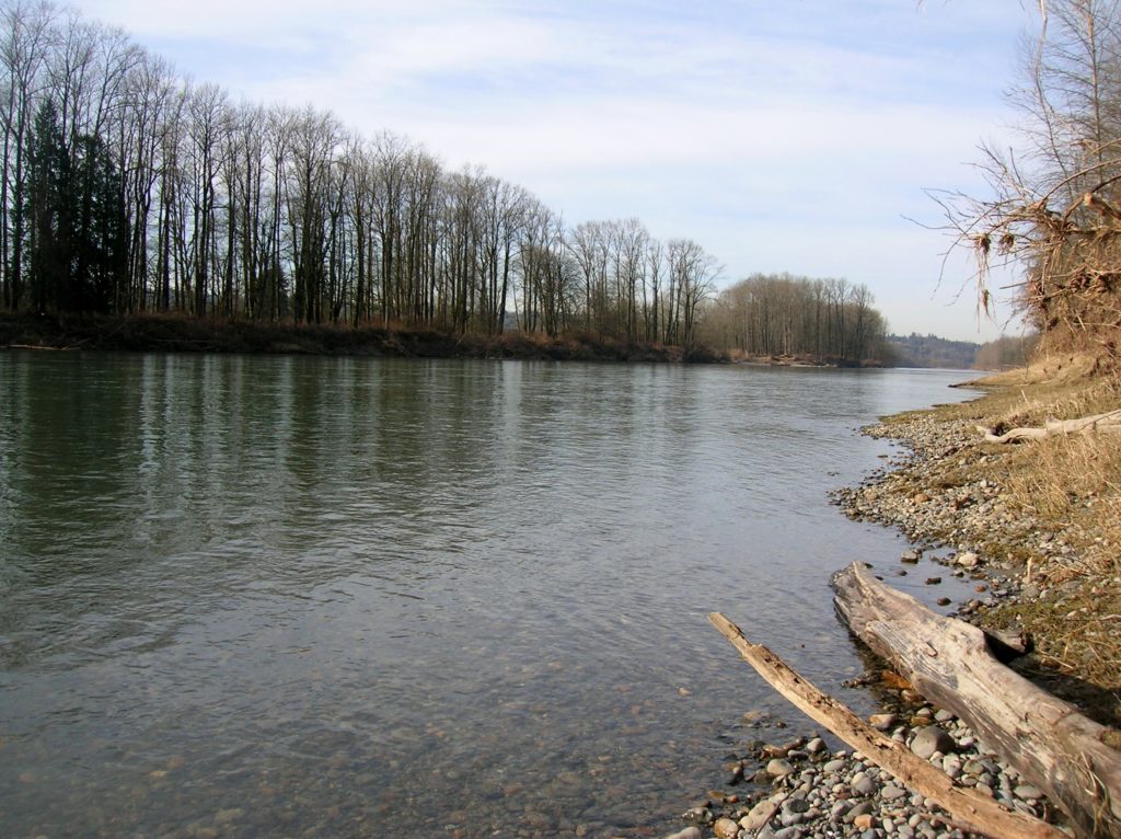
Read MoreRiver Trail–Big maples and hidden Snohomish riverfront at Lord Hill
Quick Facts: Location: Snohomish Valley Land Agency: Snohomish County Parks Roundtrip: 5.2 miles Elevation gain: 650 feet Contact: Snohomish County Parks Map: Snohomish County Parks Notes: Dogs permitted on leash Good to know: Dog-friendly, kid-friendly, snow-free winter hike, good trail running Access: From Everett follow US 2 to SR 9. Head south on SR 9 and exit…
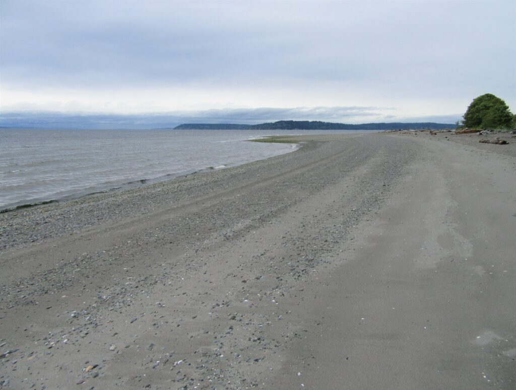
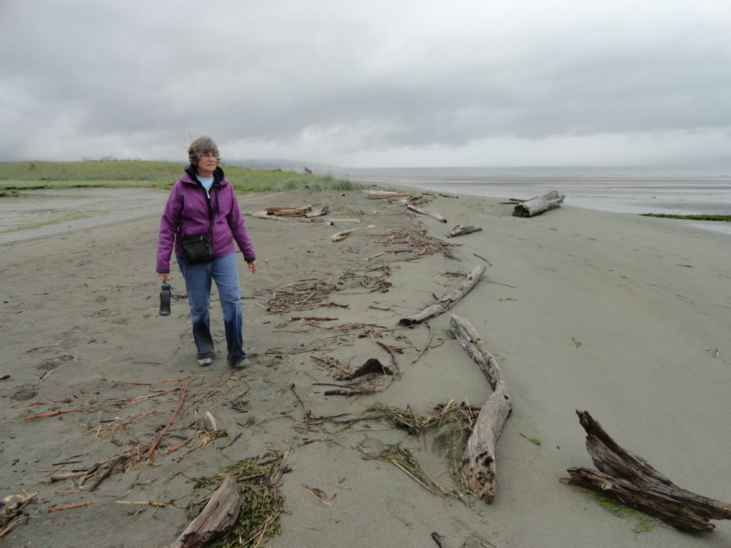
Read MoreJetty Island– It may be manmade, but it’s naturally delightful!
Quick Facts: Location: Everett Land Agency: Everett Parks and Recreation Roundtrip: up to 5.0 miles Elevation gain: none Difficulty: Easy Contact: Everett Parks and Recreation Department Notes: Parking fee $2.00 (credit card or exact amount cash) Passenger Ferry runs on Wednesday through Sunday from July 5th until September 3rd and requires a reservation ($3 per…
Read MoreFour Springs Lake Preserve
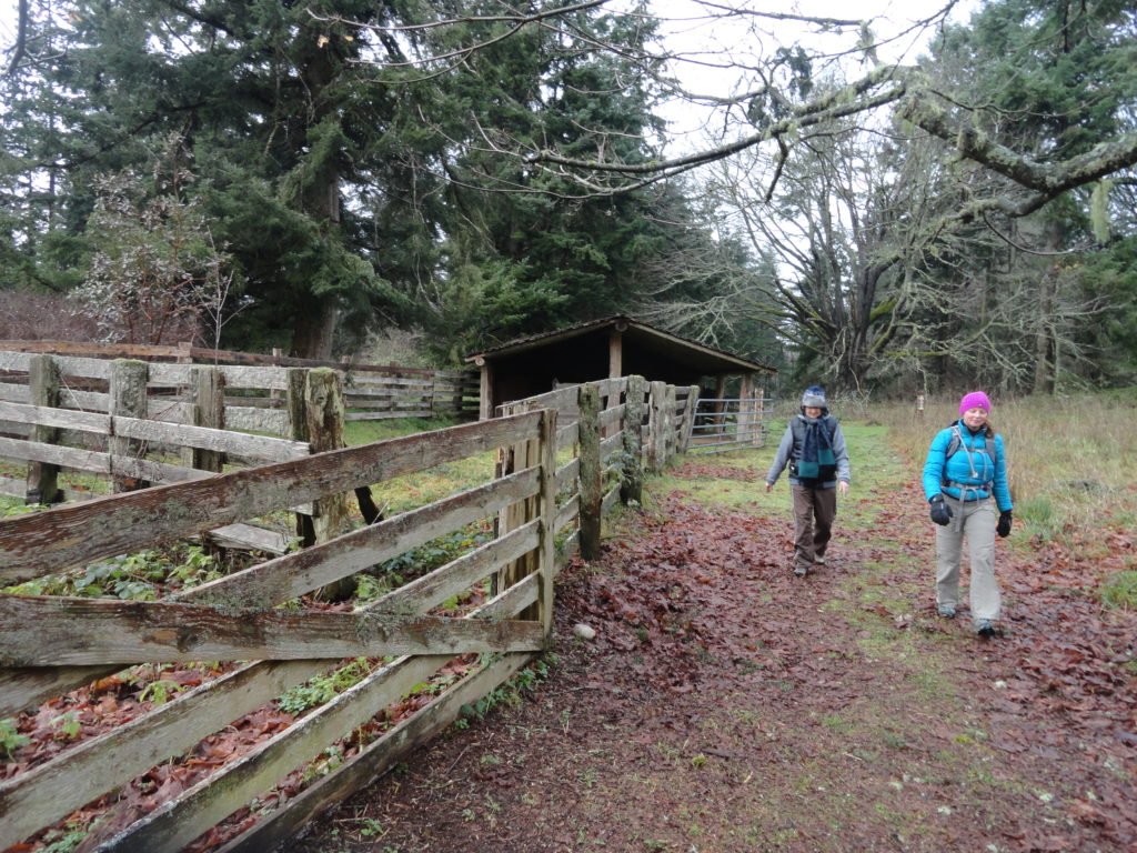
Explore a former farm in the heart of Camano Island Quick Facts: Location: Camano Island Land Agency: Island County Parks Round Trip: 1.5 miles of trails Elevation Gain: up to 200 feet Contact: Island County Parks Detailed Information: Urban Trails Everett (Mountaineers Books) Notes: Dogs permitted on leash. No map online but available in pamphlet,…
Read MoreScriber Lake–Wetland Wonder in the heart of Lynnwood
Quick Facts: Location: Lynnwood Land Agency: City of Lynnwood Parks and Recreation Roundtrip: 1.2 miles Elevation gain: none Difficulty: Easy Contact: Lynnwood Parks and Recreation Department; (425-771-4030) Notes: Dogs must be leashed Access: From Seattle take I-5 to exit 181. Turn left onto 44th Ave NW. At third light turn left onto SR 524 (196th…
Read MoreOsprey Trails — Saunter through wildlife habitat along the Sultan River
Quick Facts: Location: Sultan, Snohomish County Land Agency: City of Sultan Roundtrip: 2.0 miles Elevation Gain: level Access: From Everett, follow US 2 east to Sultan. Turn left onto 3rd Street and drive 0.6 mile north. Then turn left onto High Street and continue 0.1 mile to Osprey Park. Contact: City of Sultan Notes: Dogs permitted on leash Good to…
Read MoreBig Gulch─ Explore Mukilteo’s deep ravines
Quick Facts: Location: Mukilteo Land Agency: Mukilteo Parks and Recreation Contact: Mukilteo Recreation Department Roundtrip: 4.0 miles Elevation Gain: 350 feet Access: From Everett follow SR 526 to SR 525. Turn left (south) on SR 525 and drive .5 mile to 92nd Street. Turn right and then immediately turn left into the 92nd Street Park parking area.…
Read MoreNorth Creek Park─Enjoy being “bogged” down for the holidays
Quick Facts: Location: Mill Creek Land Agency: Snohomish County Parks Roundtrip: 2.0 miles Elevation Gain: 30 feet Access: From I-5 Exit 183 follow 164th Street SE east to SR 527. Turn south and follow SR 527 to 183rd Street SE. Turn right (west) and proceed for a 0.5 mile to park entrance on right. Alternatively take…
Read MoreLowell Riverfront Trail—Out of industrial ashes a riverside trail and park are born
Quick Facts: Location: Lowell neighborhood, city of Everett Land Agency: Everett Parks and Recreation Contact: Everett Parks and Recreation Department Roundtrip: 4.0 miles Elevation Gain: None Access: From Exit 192 on I-5 in Everett head east on 41st Street. Turn right (south) onto 3rd Ave and proceed for 1.2 miles to four-way stop. Turn left onto…
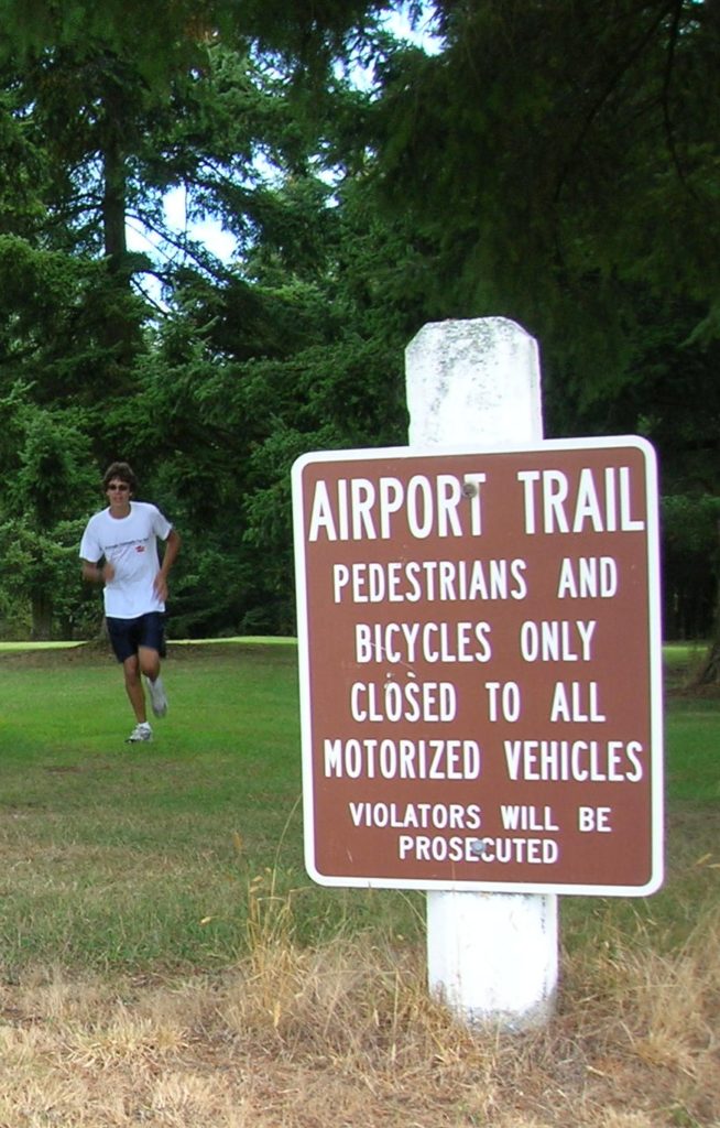
Read MoreArlington Airport Trail–Come Fly with Me on a walk around an historic airport
Quick Facts: Location: Arlington Land Agency: City of Arlington Roundtrip: 5.5 miles Elevation gain: 50 feet Difficulty: Easy Contact: Arlington Airport Commission Notes: Dogs must be on leash Access: From Everett, head north on I-5 to Exit 206. Continue east on SR 531 (172nd Street NE) for 1.4 miles. Turn left onto 59th Avenue NE and…
Read More