Urban Hikes: Everett
Fort Casey Historical State Park — Frolic through a fort, to a lighthouse, and on a pretty beach
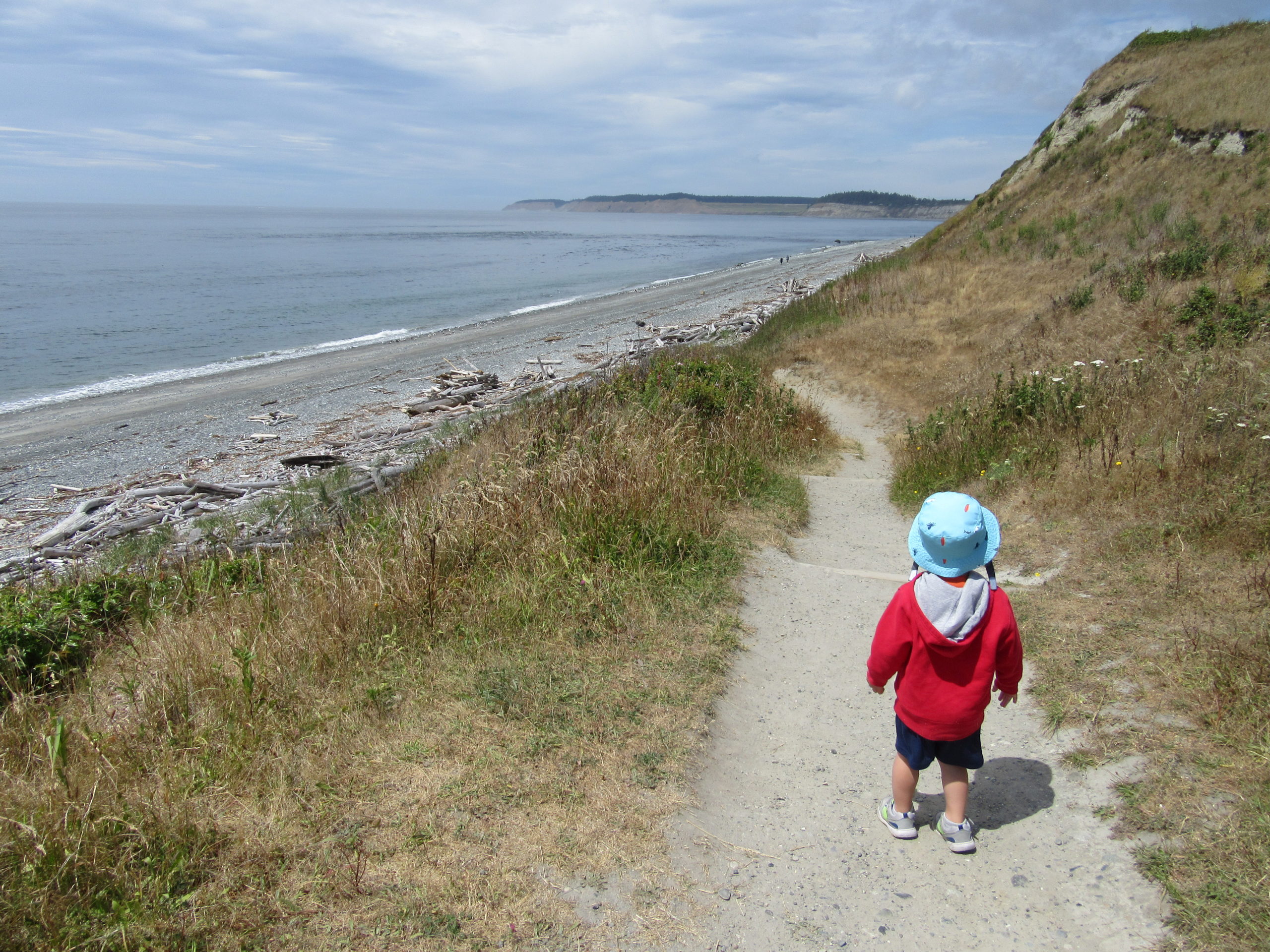
Quick Facts: Location: Whidbey Island Land Agency: Washington State Parks Round Trip: 1.8 miles of trails Elevation Gain: up to 90 feet Contact: Washington State Parks Recommended Resource: Urban Trails Everett (Mountaineers Books) Notes: Discover Pass required; Dogs allowed on leash Access: From Mukilteo take ferry to Clinton on Whidbey Island. Then continue north on…
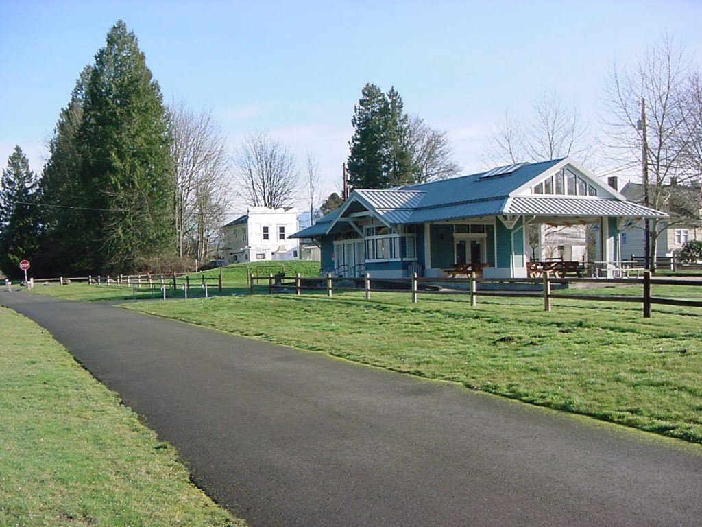
Read MoreGreenbank Farm–Plow through an array of family and dog friendly trails
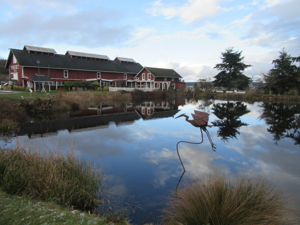
Quick Facts: Location: Whidbey Island Land Agency: Port of Coupeville Roundtrip: more than 4.0 miles of trails High Point: 300 feet Elevation gain: up to 280 feet Contact: Port of Coupeville Recommended Resource: Urban Trails Everett (Mountaineers Books) Notes: Some trails are open to equestrians; some trails are in an off-leash dog area Access: From Clinton Ferry Terminal on Whidbey…
Read MoreDouble Bluff – Dog-friendly beach hiking on Whidbey Island
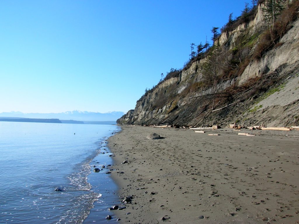
Quick Facts: Location: Whidbey Island Land Agency: Island County Parks, Washington State Parks, and the Washington DNR Roundtrip: 4.0 miles Elevation Gain: None Access: Take State Ferry from Mulkiteo to Clinton on Whidbey Island. Continue north on SR 525 for 8.5 miles turning left onto Double Bluff Road. Proceed for 2.0 miles to road end…
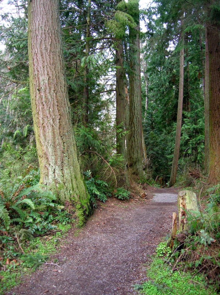
Read MoreSouth Whidbey State Park—Amble among ancient trees above the sound
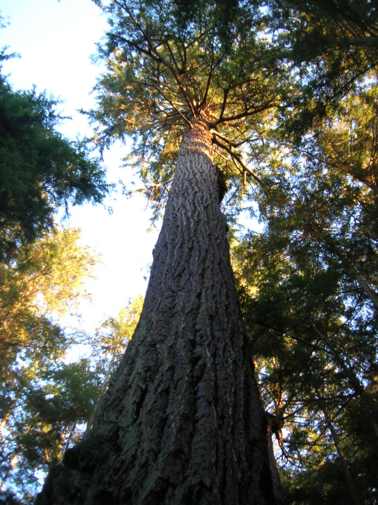
Quick Facts: Location: Whidbey Island Land Agency: Washington State Parks Roundtrip: 2.3 miles Elevation Gain: 200 feet Contact: South Whidbey State Park Notes: Discover Pass Required: Dogs must be leashed Access: From the Clinton Ferry Terminal on Whidbey Island follow SR 525 north for 9.4 miles turning left onto Bush Point Road. After 2.2 miles road…
Read MoreSouthwest County Park─Emerald Swath above Edmonds
Quick Facts: Location: Edmonds Land Agency: Snohomish County Parks and Recreation Roundtrip: Up to 5 miles Elevation Gain: up to 250 feet Access: From Everett follow I-5 south to exit 181. Now follow SR 524 (196th St SW) west passing SR 99 and in about another mile turn right onto 76th Ave W. Proceed for about .5…
Read MoreCentennial Trail: Haller Park to Lake Bryant–river, wetlands, and rural charm
Quick Facts: Location: Arlington Land Agency: Snohomish County Parks Roundtrip: 6.2 miles Elevation Gain: 100 feet Contact: Snohomish County Parks Notes: Paved trail is also open to bicycles and is wheelchair accessible; dogs must be leashed. Access: Southern Access is from Haller Park in Arlington near the junction of SR 9 and SR 530, four miles…
Read MoreCandy Cane Park (Terrace Creek Park)-Tis the season for a visit
Quick Facts: Location: Mountlake Terrace, southern Snohomish County Land Agency: City of Mountlake Terrace Roundtrip: 2.0 miles Elevation Gain: 125 feet Access: From Seattle: drive I-5 north to exit 178. Turn right and follow 236th Street SW for 0.7 mile. Then turn left onto 48th Ave W and drive north 0.2 mile to park and parking on your…
Read MoreYost Park– Slice of Nature in the heart of Edmonds
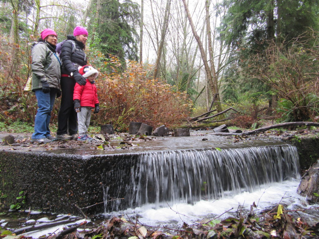
Quick Facts: Location: Edmonds Land Agency: Edmonds Parks and Recreation Department Roundtrip: About 1.5 miles of trails Elevation Gain: up to 300 feet Contact: Edmonds Parks and Recreation Access: From Everett or Seattle take I-5 to Exit 179. Then head west on 220th Street SW for 2.1 miles. Turn right and head north on 96th Ave…
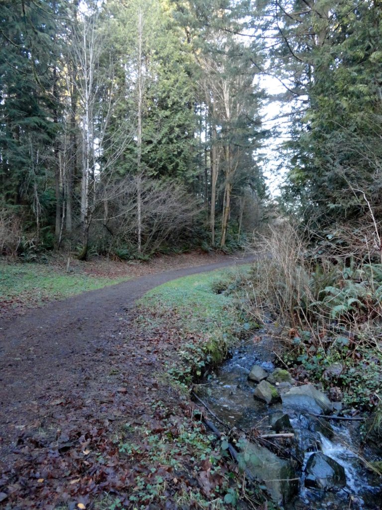
Read MoreLangus Waterfront Trail─A slough of surprises await just minutes from downtown Everett
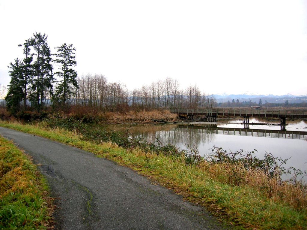
Quick Facts Location: City of Everett Land Agency: Everett Parks and Recreation Department Roundtrip: 4.0 miles Elevation Gain: None Access: From Everett, take Exit 195 off of I-5 turning left onto East Grand Ave. In 0.5 mile bear right onto East Marine View Drive and follow for 1.0 mile to SR 529. Continue north on SR…
Read MoreRiver View Quarry Trail─Trail along the Snohomish River is a cut above
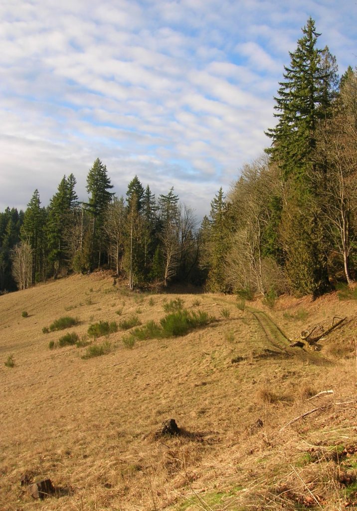
Quick Facts: Location: Lord Hill Regional Park Land Agency: Snohomish County Parks Roundtrip: 2.0 miles Elevation Gain: 275 feet Access: From Monroe, exit SR 522 onto Main Street heading west and immediately coming to a roundabout. Bear right onto Tester Road and proceed 3.0 miles to a T-intersection just after passing under SR 522. Turn left and proceed to South…
Read More