Trail Less Taken
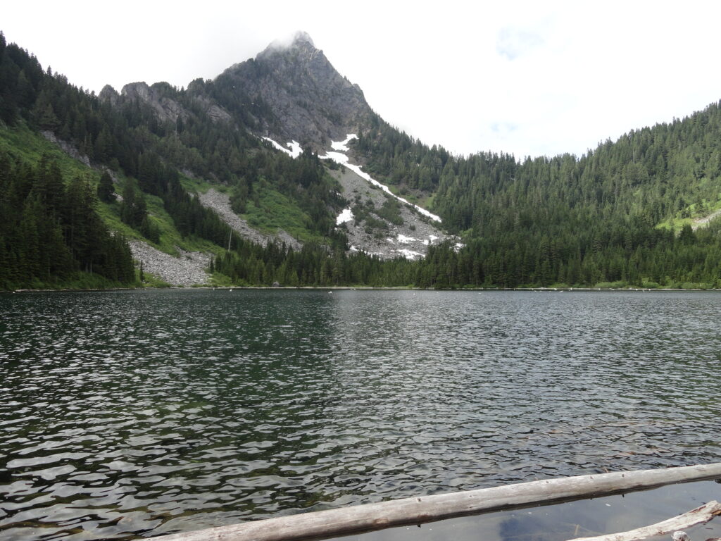
Round Lake — Find solitude on Lost Creek Ridge

Quick Facts: Location: Mountain Loop Highway near Darrington Land Agency: Mount Baker-Snoqualmie National Forest Roundtrip: 9.8 miles Elevation gain: 4300 feet Difficulty: strenuous Green Trails Map: Mountain Loop Highway 111SX Contact: Darrington Ranger District; Mount Baker-Snoqualmie National Forest Access: From Darrington follow the Mountain Loop Highway for 16 miles to a junction with Forest Road 49. Turn…
Read MoreDeception Creek—Big trees, wilderness valley, no crowds—and that’s the truth!
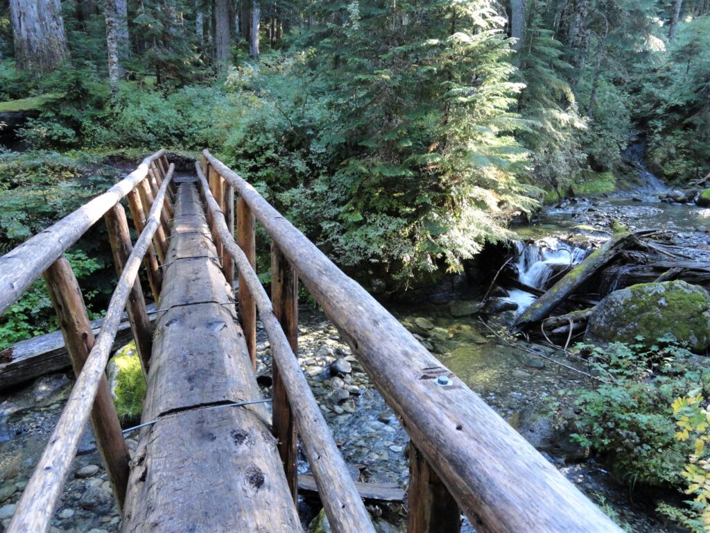
Quick Facts: Location: Skykomish River Valley Land Agency: Mount Baker-Snoqualmie National Forest Roundtrip: 10.5 miles Elevation Gain: 1,350 feet Notes: Northwest Forest Pass required; Dogs permitted on leash. Contact: Skykomish Ranger District: Mount Baker-Snoqualmie National Forest Green Trails Map: Alpine Lakes-Stevens Pass-No. 176S Access: From Everett drive US 2 east to Skykomish. Then continue for another…
Read MoreIndian Henry’s Hunting Ground via Kautz Lake — Head to a fabled land of wildflowers!
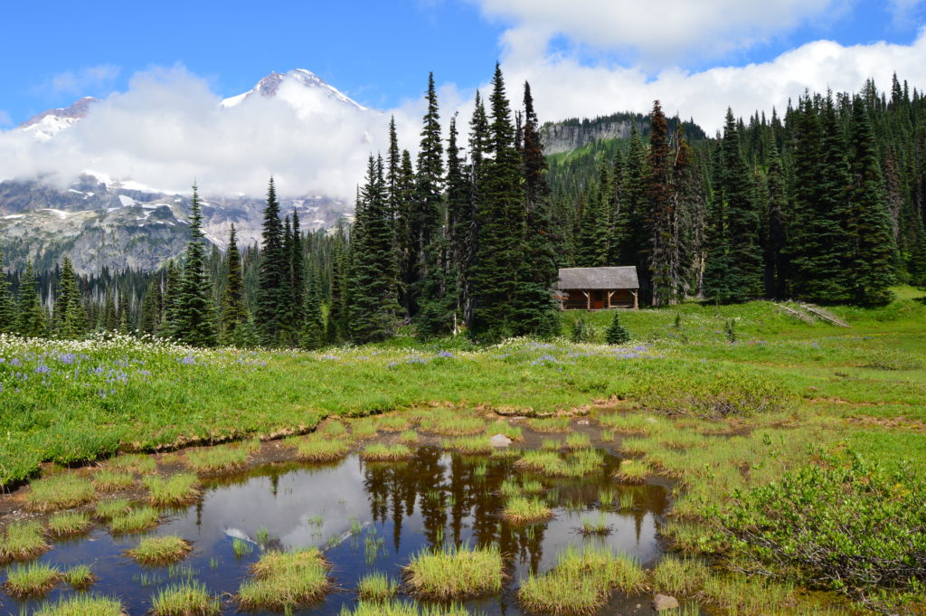
Quick Facts: Location: Nisqually Valley, Mount Rainier National Park Land Agency: National Park Service Roundtrip: 11.6 miles Elevation Gain: 3200 feet Contact: Mount Rainier National Park Green Trails Map: Mount Rainier National Park 269S Notes: National Park Entrance Fee or Interagency Pass required; Dog prohibited Timed entry pass required for entrance into Mount Rainier National Park (Longmire and Sunrise…
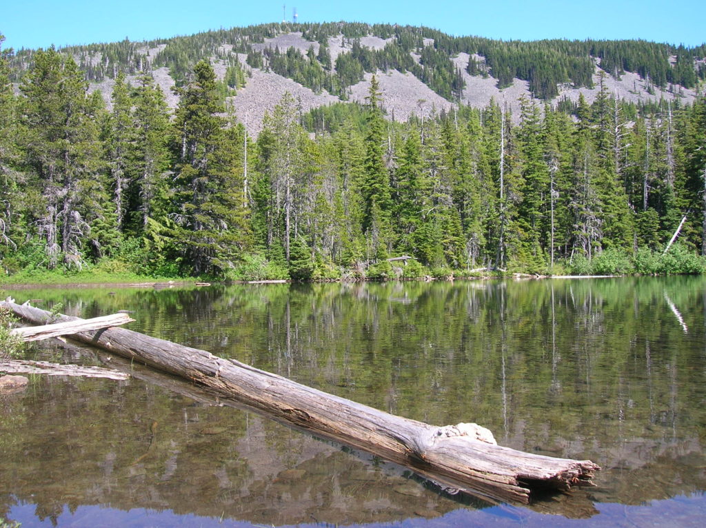
Read MoreGlacier Basin─Strike it rich with great views on this tough hike
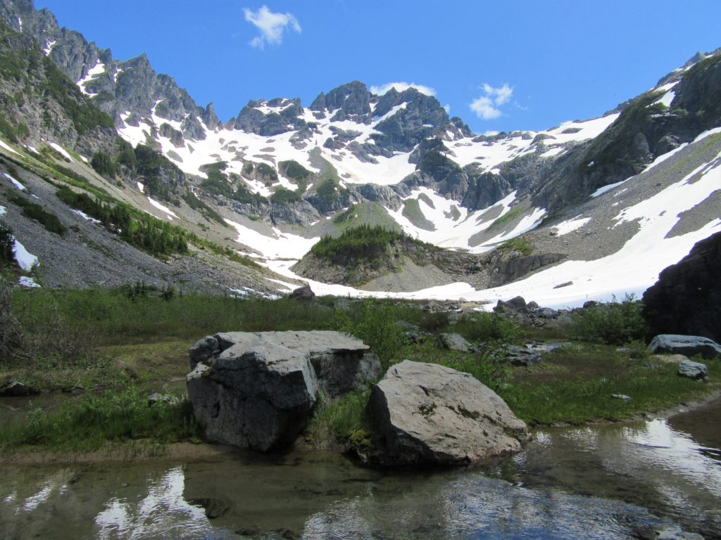
Quick Facts: Location: Mountain Loop Highway near Barlow Pass Land Agency: Mount Baker-Snoqualmie National Forest Roundtrip: 12.4 miles Elevation Gain: 2,300 feet Green Trails Map: Mountain Loop Highway 111SX Access: From Granite Falls follow the Mountain Loop Highway east for 30 miles to Barlow Pass. Hike begins by walking up gated Monte Cristo Road. Note: Northwest Forest…
Read MoreFourth of July Creek—Celebrate Independence Day with these explosive views!
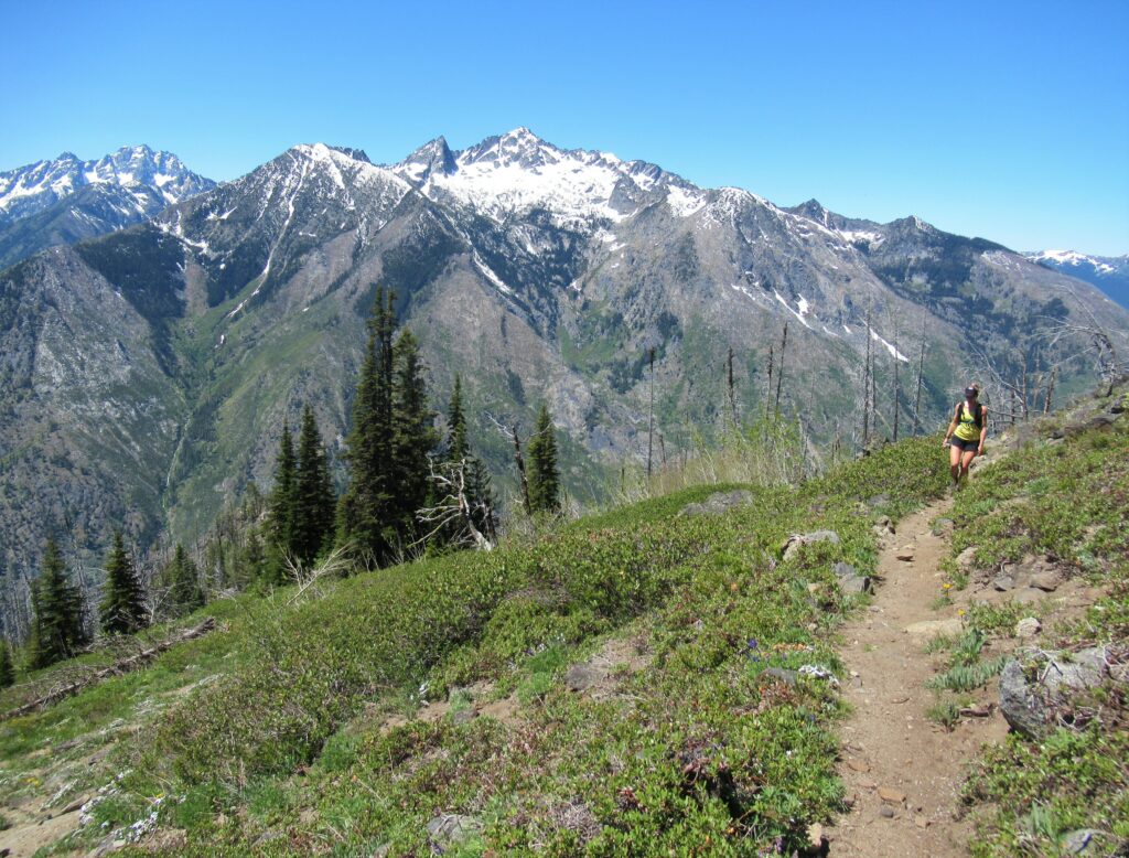
Quick Facts: Location: Central Cascades Land Agency: Okanogan-Wenatchee National Forest Roundtrip: 11.2 miles Elevation Gain: 4,700 feet Notes: rattlesnakes are common along lower portions of trail. Green Trails Map: Alpine Lakes East Stuart Range 208SX Contact: Wenatchee River Ranger District (Leavenworth) More information: Day Hiking Central Cascades 2nd edition (The Mountaineers Books) Access: From Leavenworth follow the…
Read MoreCopper Butte via Old Stage Trail– Take a historic route to the rooftop of the Kettle River Range

Quick Facts: Location: Kettle River Range Land Agency: Colville National Forest Roundtrip: 6.0 miles Elevation Gain: 1615 feet Contact: Colville National Forest, Three Rivers Ranger District-Kettle Falls Access: From Republic, head east on SR 20 for 21 miles turning left onto FR 2030 (Albion Hill Road). From Kettle Falls, head west on SR 20 for 22 miles turning…
Read MoreBear Lake—A bear of a lake but not of a hike!
Quick Facts: Location: Mark O Hatfield Wilderness, Columbia River Gorge National Scenic Area, Oregon Land Agency: National Forest Service Roundtrip: 2.4 miles Elevation Gain: 575 feet Green Trails Map: Columbia River Gorge -West No 428S Contact: Mount Hood National Forest, Hood River Ranger Station Notes: Wilderness rules apply Access: From Portland follow I-84 east to…
Read MoreEagle Lake—Tough hike to a raptor’s delight
Quick Facts: Location: Wild Sky Wilderness, Skykomish River Valley Land Agency: National Forest Service Roundtrip: 8.6 miles Elevation Gain: 1,750 feet Green Trails Map: Alpine Lakes West 176S Contact: Skykomish Ranger District: Mount Baker-Snoqualmie National Forest Notes: Northwest Forest Pass or Interagency Pass required. Access: From Everett, head east 41 miles on US 2 to Baring.…
Read MoreSteens Mountain– Into the heart of Oregon’s “Big Empty”
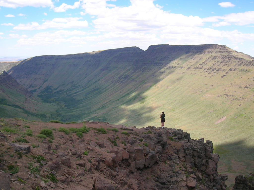
Quick Facts: Location: Great Basin, Eastern Oregon Land Agency: Steens Mountain Cooperative Management and Protection Area (BLM) Roundtrip: Kiger Gorge Rim; up to 4.0 miles Elevation gain: Up to 500 feet Difficulty: moderate Contact: BLM Burns Office Access: From Burns, Oregon travel 60 miles south to Frenchglen. Take Steens Mountan Loop Road for 23 miles.…
Read MoreLookout Mountain
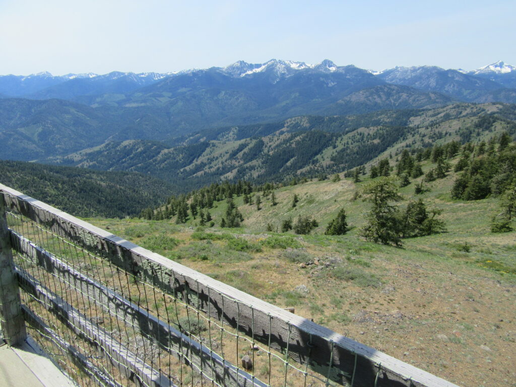
Look out over the Methow Valley and beyond Quick Facts: Location: Methow Valley, WA Distance: 3.0 miles one way Elevation Gain: 1170 feet Contact: Okanogan-Wenatchee National Forest, Methow Valley Ranger District Maps: Green Trails Methow Valley 51SX Recommended Guidebook: Day Hiking North Cascades (Mountaineers Books) Notes: trail open to mountain bikes and motorcycles; Final 1.5…
Read More