snowshoe
River Trail (Blue Diamond Trail)–Easily accessible and little-known trail along White River
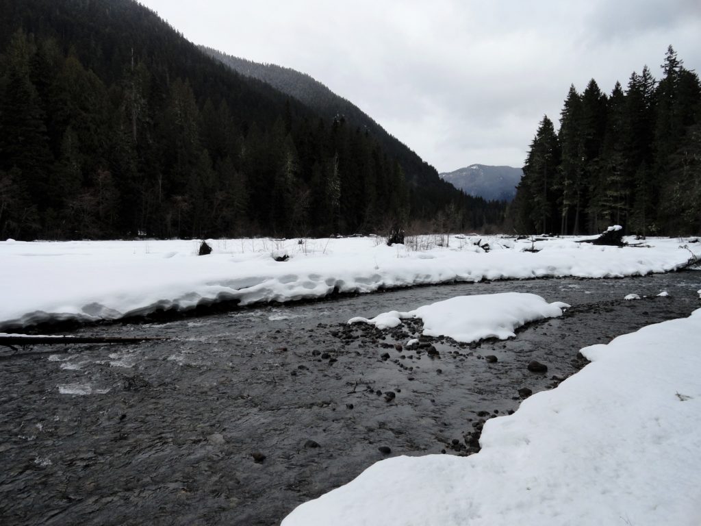
Quick Facts: Location: White River Valley Land Agency: Mount Baker-Snoqualmie National Forest Round Trip: 3.2 miles Elevation Gain: 100 feet Contact: Washington State Parks Sno-Parks Green Trails Map: Mount Rainier 269SX Notes: Sno-Park Pass required; Dogs allowed on leash Access: From Enumclaw follow SR 410 for 33 miles turning left (just before Mount Rainier National…
Read MoreWhite River–Low country snowshoe adventure within the shadow of Mount Rainier
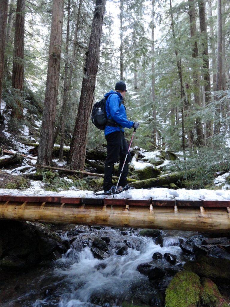
Location: White River Valley Land Agency: Mount Baker-Snoqualmie National Forest Roundtrip: up to 10.0 miles Elevation gain: 700 feet Green Trails Map: Greenwater No. 238 Contact: Mount Baker-Snoqualmie National Forest Notes: Northwest Forest Pass; Parking can be a challenge when snowfall is heavy along roads. Do not park on road shoulders, or block access to substation…
Read MoreDalles Ridge — Wintering Elk and Sublime Alpine views
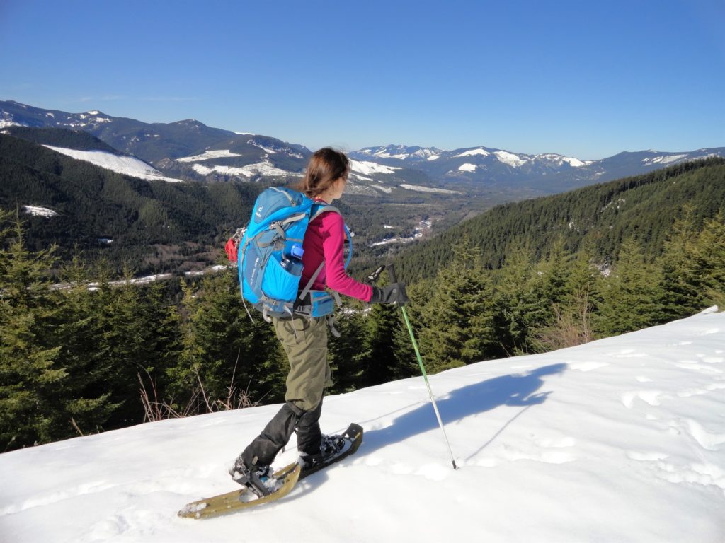
Quick Facts: Location: Mount Baker-Snoqualmie National Forest Land Agency: US Forest Service Round Trip: 8.2 miles Elevation Gain: 1900 feet Green Trails Map: Greenwater no. 238 Contact: Mount Baker-Snoqualmie National Forest Notes: During periods of low snow levels, parking may be difficult. Access: From Enumclaw follow SR 410 for 13.6 miles turning left (shortly after passing…
Read MoreCorral Pass –Challenging snow shoe trip to high pass on Castle Mountain

Quick Facts: IMPORTANT CLOSURE NOTE: UNFORTUNATELY DUE TO SUMMER WILDFIRE DAMAGE THIS ROUTE AND SURROUNDING AREA WILL REMAIN CLOSED TO THE PUBLIC UNTIL DECEMBER 31, 2018. Location: Mount Baker-Snoqualmie National Forest Land Agency: National Forest Service Roundtrip: 11.5 miles Elevation Gain: 2,800 feet Contact: Mount Baker-Snoqualmie National Forest Green Trails Maps: Greenwater no. 238, Lester no. 239,…
Read More