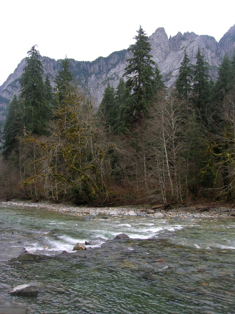
Snoqualmie Pass
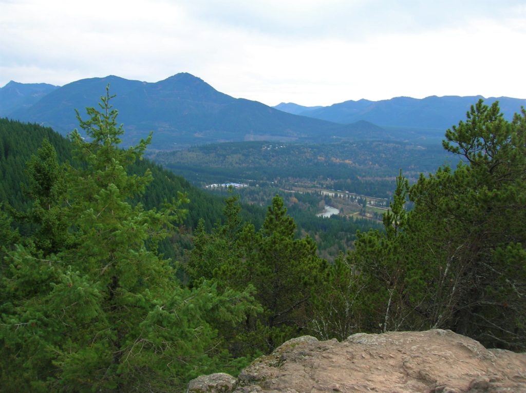
Cedar Butte–Bad spelling on the summit and bad tidings at Christmas Lake below
Location: Snoqualmie Valley near North Bend Land Agency: Washington State Parks Roundtrip: 4.0 miles Elevation gain: 900 feet Green Trails Maps: Rattlesnake Mountain Upper Snoqualmie Valley No. 205S Contact: Washington State Parks (360) 902-8844 Notes: Discover Pass required; Dogs must be leashed Access: From Seattle take I-90 east to exit 32 in North Bend turning right (south)…
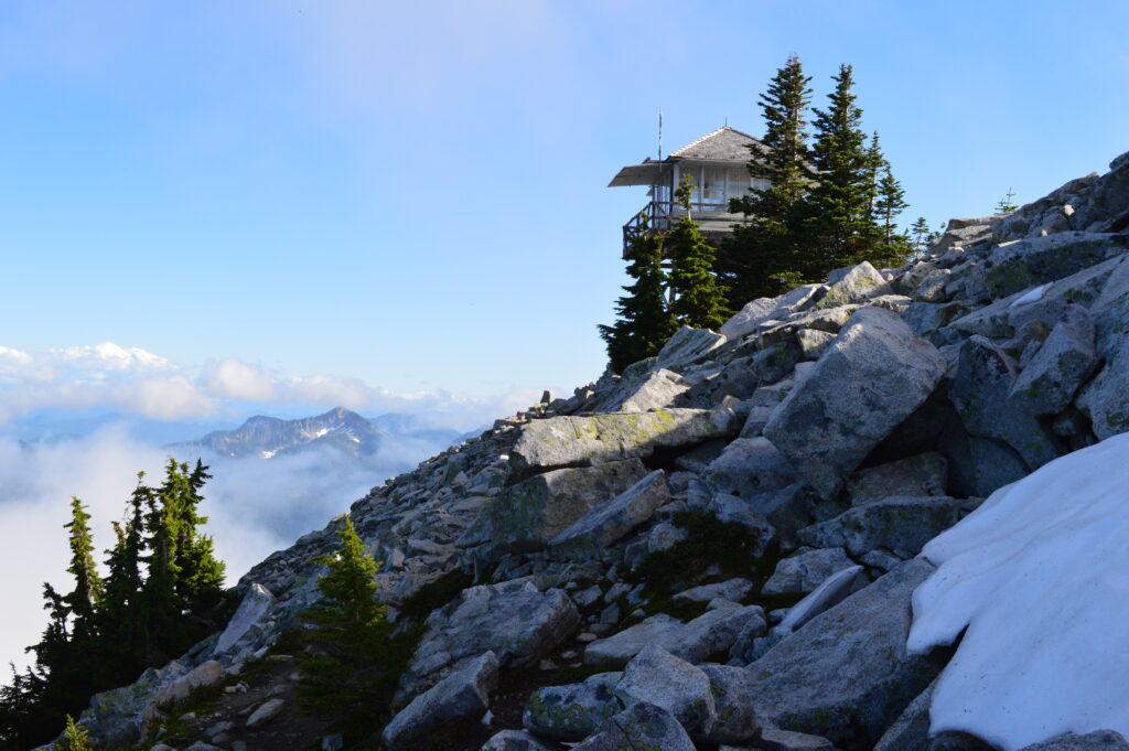
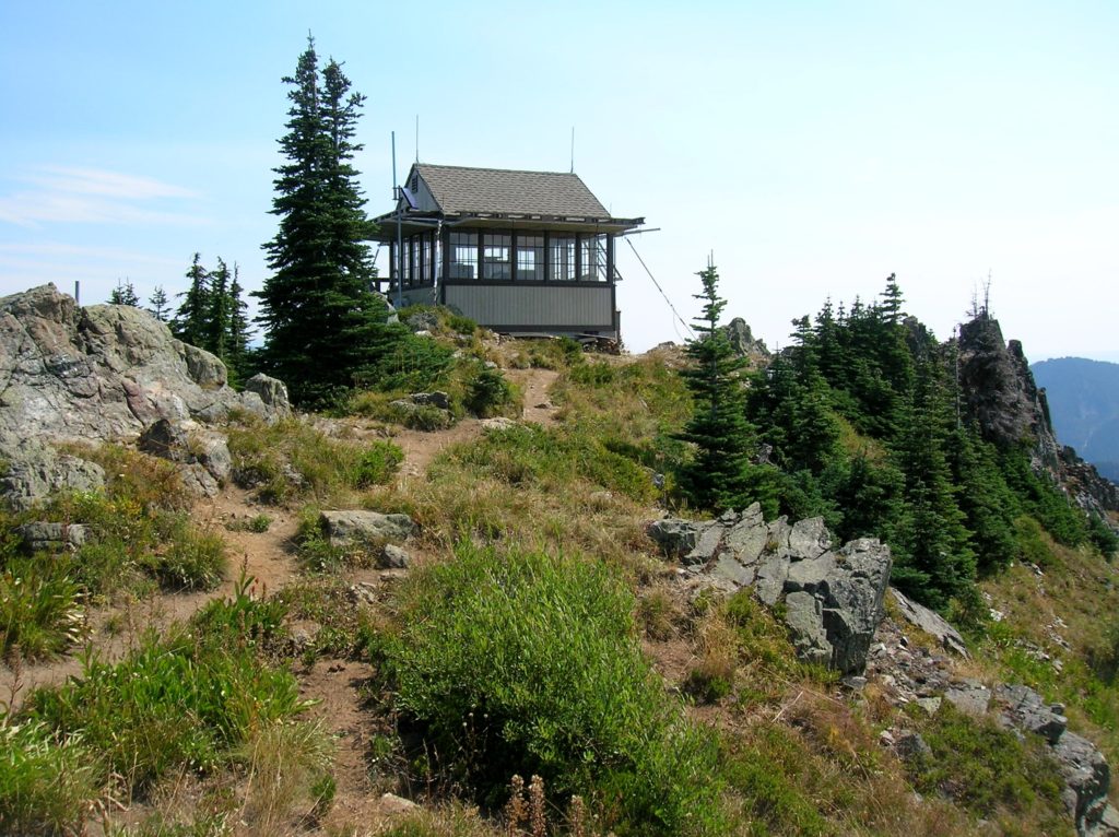
Read MoreGranite Mountain- classic fire lookout hike at Snoqualmie Pass
Quick Facts: Location: Snoqualmie Pass Region Land Agency: National Forest Service Round Trip: 9.0 miles Elevation Gain: 3700 feet Contact: Mount Baker-Snoqualmie National Forest, Snoqualmie Ranger District North Bend Green Trails Maps: Green Trails, Snoqualmie Pass Gateway no. 207SX Notes: Northwest Forest pass or Interagency Pass required; Alpine Lakes Wilderness use permit required May 15—Oct 31,…
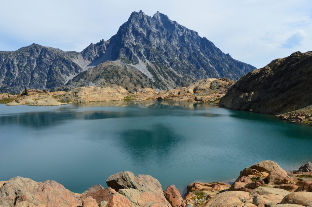
Read MoreLake Ingalls
Capture breathtaking reflective views of Mount Stuart Quick Facts: Location: Alpine Lake Wilderness, Teanaway Country Round Trip: 9.2 miles Elevation Gain: 2600 feet Contact: Okanogan-Wenatchee National Forest, Cle Elum Ranger District, https://www.fs.usda.gov/okawen/Detailed Information: 100 Classic Hikes Washington (Mountaineers Books) Notes: Northwest Forest Pass required; dogs prohibited; wilderness rules apply; no camping at lake. Green Trails…
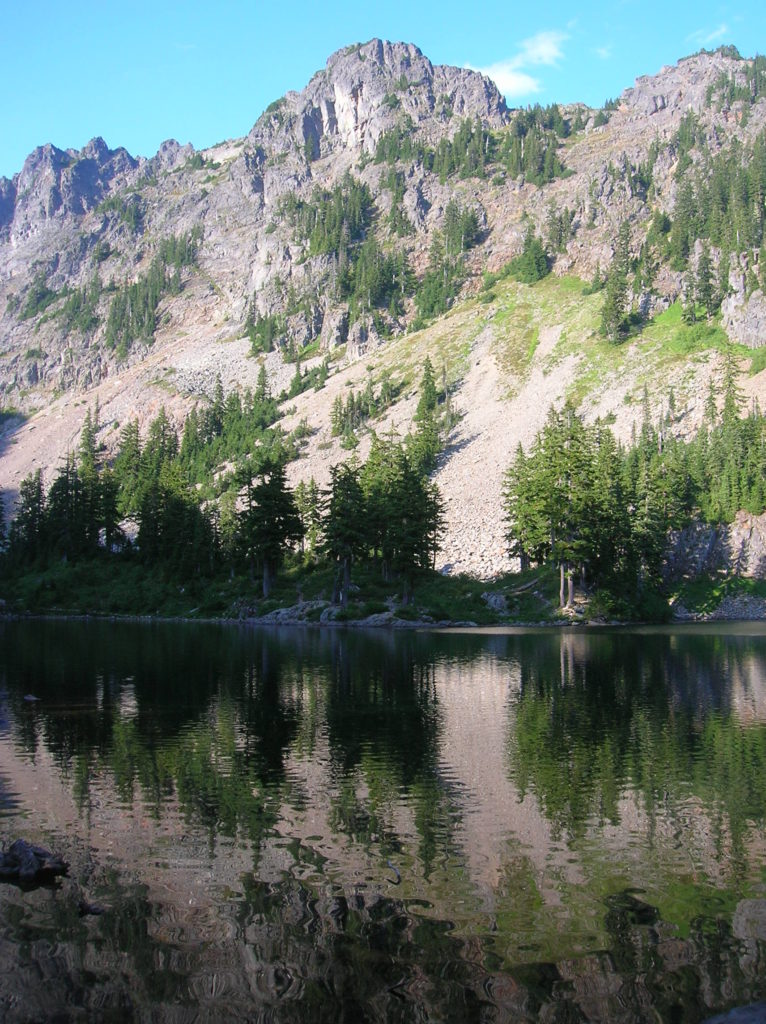
Read MoreChristmas Lake and Cedar Butte- Bad tidings and spelling
Quick Facts: Location: Snoqualmie Valley near North Bend Land Agency: Washington State Parks Roundtrip: 4.2 miles Elevation Gain: 900 feet Green Trails Map: Rattlesnake Mountain Upper Snoqualmie Valley 205S Access: From Seattle take I-90 east to exit 32 in North Bend turning right (south) onto 436th Ave SE which soon becomes Cedar Falls Road. Follow for 3.1…
Read MoreLittle Si─You won’t sigh over the views from this open summit
Quick Facts: Location: Snoqualmie Valley Land Agency: Washington DNR Roundtrip: 4.6 miles Elevation Gain: 1,100 feet Green Trails Map: Green Trails, Mount Si NRCA No. 206S Notes: Discover Pass Required; dogs must be leashed Contact: WA Department of Natural Resources, South Puget Sound Region (360) 825-1631; www.dnr.wa.gov Access: Take I-90 to exit 32 in North Bend…
Read MoreThorp Mountain–Historic Lookout on Kachess Ridge
Location: Cle Elum River Valley near Salmon La Sac Land Agency: Okanogan-Wenatchee National Forest Roundtrip: 5.0 miles High Point: 5,854 feet Elevation gain: 1,700 feet Difficulty: moderate Green Trails Map: Kachess Lake – No. 208 Contact: Cle Elum Ranger District: Okanogan-Wenatchee National Forest (509) 852-1100 Note: FR 4308-120 is rough and brushy in spots. High…
Read MoreMelakwa Lake–The buzz is out on this great Snoqualmie Pass hike
Location: Snoqualmie Pass region Land Agency: Mount Baker-Snoqualmie National Forest Roundtrip: 9.0 miles High Point: 4,600 feet Elevation gain: 2,400 feet Difficulty: difficult Green Trails Map: Snoqualmie Pass Gateway, WA- No 207S Contact: North Bend Ranger District: Mount Baker Snoqualmie National Forest Notes: NW Forest Pass or Interagency Pass required; dogs must be on a…
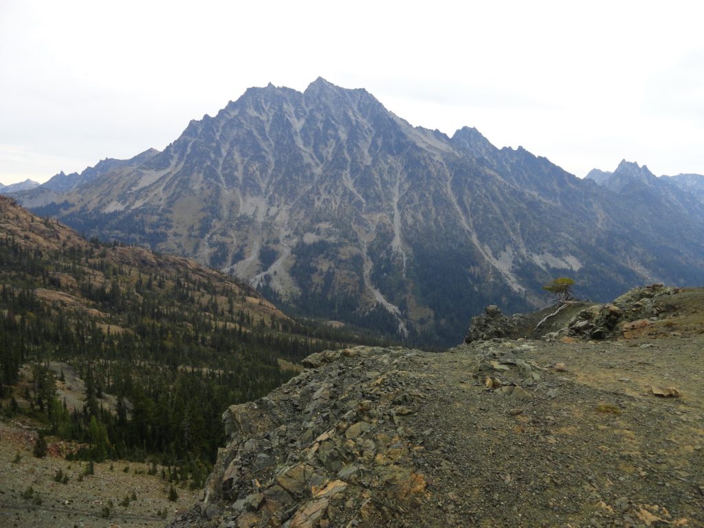
Read MoreLongs Pass- Short and steep hike to in-your face views of Stuart
Quick Facts: Location: Alpine Lakes Wilderness Land Agency: National Forest Service Round Trip: 5.8 miles Elevation Gain: 2100 feet Contact: Cle Elum Ranger District, Wenatchee-Okanogan National Forest Green Trails Maps: Aline Lakes East –Stuart Range no. 208SX Notes: Northwest Forest Pass or Interagency Pass required; Dogs-prohibited Access: From Seattle take I-90 to exit 85 and follow…
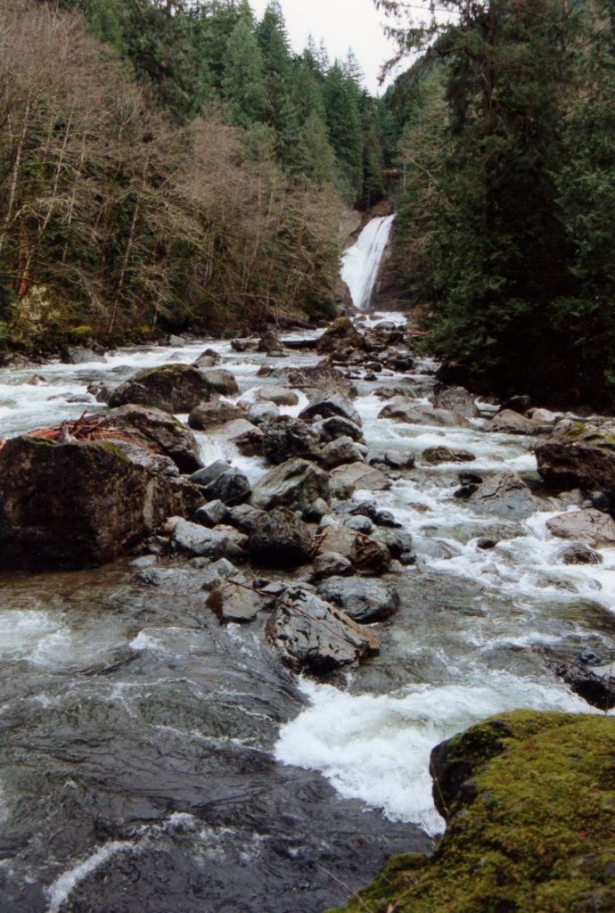
Read MoreTwin Falls─Pretty pair of plummeting falls on South Fork Snoqualmie River
Quick Facts Location: Snoqualmie Pass Area Land Agency: Washington State Parks Roundtrip: 3.5 miles Elevation Gain: 700 feet Green Trails Maps: Rattlesnake Mountain Upper Snoqualmie Valley No. 205S Access: From Seattle, take I-90 to exit 34 east of North Bend turning right (south) onto SE Edgewick Road (468th Ave SE). Proceed for 0.5 mile turning…
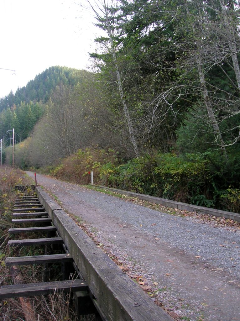
Read MoreMiddle Fork Snoqualmie River
Quick Facts Location: Middle Fork Snoqualmie River Valley near North Bend Land Agency: National Forest Service Roundtrip: 12.0 miles Elevation Gain: 700 feet Access: From Seattle, take I-90 east to exit 34 east of North Bend turning left onto SE Edgewick Road (468th Ave SE). Proceed for .6 mile turning right onto the Middle Fork…
Read More
