Snohomish County
Mainline Trail—Hike through the heart of the Paradise Valley Conservation Area
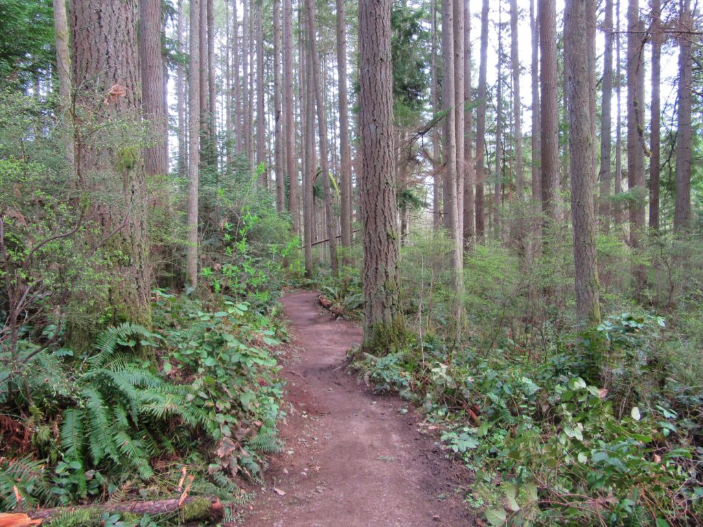
Quick Facts: Location: Maltby Land Agency: Snohomish County Parks Roundtrip: 3.2 miles Elevation Gain: minor ups and downs Access: From SR 522 in Maltby (5.0 miles east of Woodinville; 8.0 miles west of Monroe) head east on Paradise Lake Road for 1.7 miles to trailhead. Notes: Dogs must be on leash. Park open 7 am…
Read MoreJapanese Gulch — Historic Ravine laced with trails

Quick Facts: Location: Mukilteo Land Agency: Mukilteo Recreation Department Roundtrip: More than 7 miles of trails Elevation Gain: up to 500 feet Contact: Mukilteo Recreation Department Notes: Trail system is currently rough in places and unsigned. Access: From Everett, head west on Mukilteo Blvd (which becomes 5th Street in Mukilteo) for to parking and trailhead on…
Read MoreFortson Ponds –An old mill site on an emerging long distance trail
Quick Facts: Location: Darrington Land Agency: Snohomish County Parks Roundtrip: 2.0 miles Elevation gain: none Difficulty: Easy Contact: Snohomish County Parks Green Trails Map: Mountain Loop Highway 111SX Notes: Dogs allowed on leash Access: From Exit 208 on I-5 (Arlington) travel east on SR 530 for 25.2 miles turning left onto Fortson Mill Road (near…
Read MoreMeadowdale Beach—Reach the Beach through an Emerald Gulch
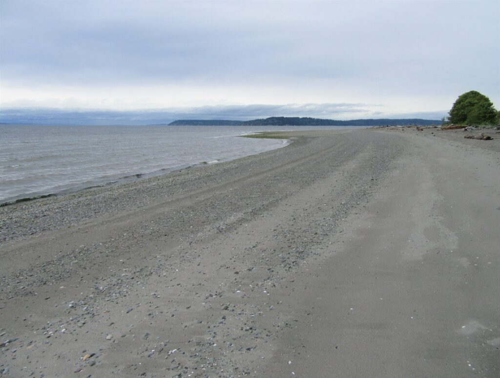
Quick Facts: Location: Lynnwood Land Agency: Snohomish County Parks Roundtrip: 2.5 miles Elevation Gain: 425 feet Contact: Snohomish County Parks Special Notes: Dogs must be leashed; park open 7 am to dusk: do not park on road Access: From Everett, head 10 miles south on I-5 to exit 183. Follow 164th Street SW west for…
Read MoreRiver Meadows Park─Wander along the Stillaguamish River
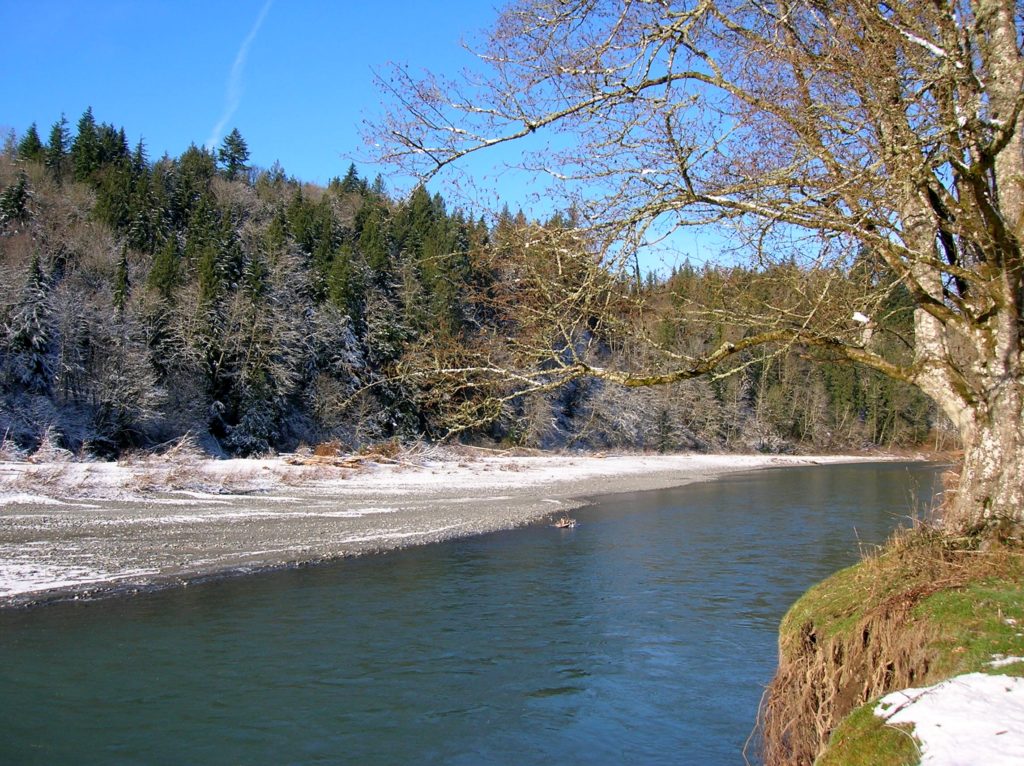
Quick Facts: Location: South Fork Stillaguamish River, near Arlington Land Agency: Snohomish County Parks Roundtrip: 2.5 miles Elevation Gain: 150 feet Contact: Snohomish County Parks Notes: Dogs must be leashed. Access: From Exit 208 on I-5 head east on SR 530 to Arlington. One mile beyond junction with SR 9 (just after crossing the South…
Read MoreRobe Canyon─Follow a silenced railroad into a thundering chasm
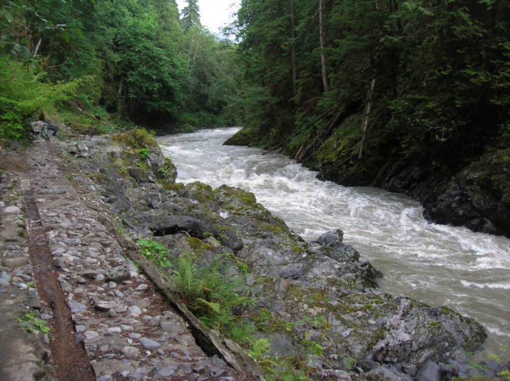
Quick Facts: Location: Mountain Loop Highway near Granite Falls Land Agency: Snohomish County Parks Roundtrip: 2.4 miles Elevation Gain: 300 feet Green trails Map: Mountain Loop Highway 111SX Access: From Granite Falls follow the Mountain Loop Highway east for 7.0 miles to trailhead located on your right, directly across from Forest Road 41. Park on…
Read MoreBarlow Point–Little known lookout site on Mountain Loop Highway
Location: Mountain Loop Highway near Granite Falls Land Agency: Mount Baker-Snoqualmie National Forest Roundtrip: 2.5 miles High Point: 3,222 feet Elevation gain: 850 feet Difficulty: moderate Green Trails Maps: Mountain Loop Highway 111SX Contact: Darrington Ranger District: Mount Baker Snoqualmie National Forest Note: Northwest Forest Pass or Inter-agency Pass required Access: From Granite Falls, follow…
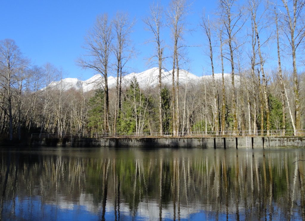
Read MoreBoulder Lake—trail to this Sultan Basin Lake once again open!
Quick Facts: Location: Sultan Basin Land Agency: Washington Department of Natural Resources Roundtrip: 13.8 miles Elevation Gain: 2,140 feet Green Trails Map: Index WA- No. 142 Notes: Dogs must be on leash; All hikers are required to stop and register (no fee) at kiosk at Olney Pass upon entering Sultan Basin Watershed. Access: From Everett…
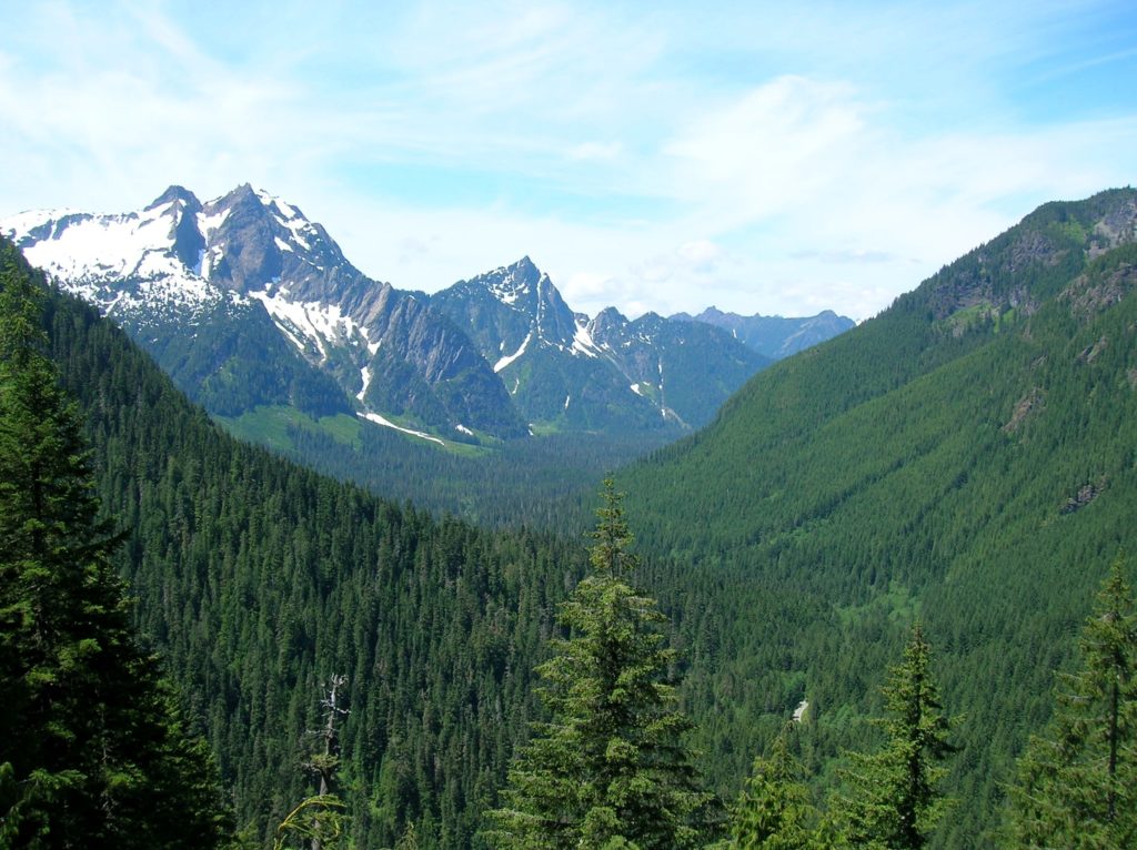
Read MoreHuckleberry Mountain — Savor solitude high above the Suiattle River
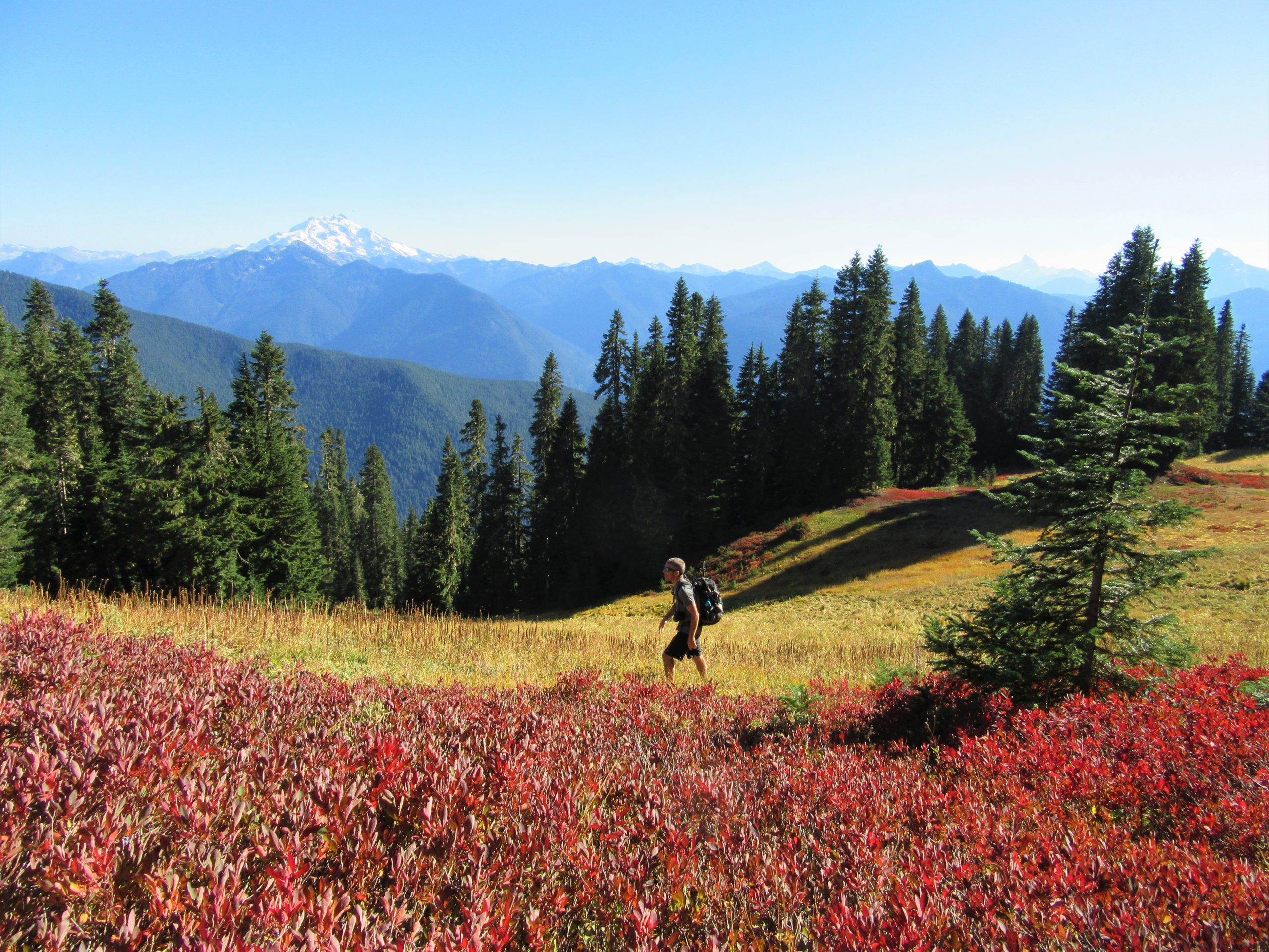
Quick Facts: Location: Suiattle River Valley Land Agency: National Forest Service Roundtrip: 12.6 miles Elevation Gain: 4500 feet Contact: Darrington Ranger District: Mount Baker Snoqualmie National Forest Green Trails Map: Mountain Loop Highway Map 111SX Notes: Glacier Peak Wilderness-wilderness rules apply; Practice Leave No Trace Principles Access: From Darrington travel north on SR 530 turning right…
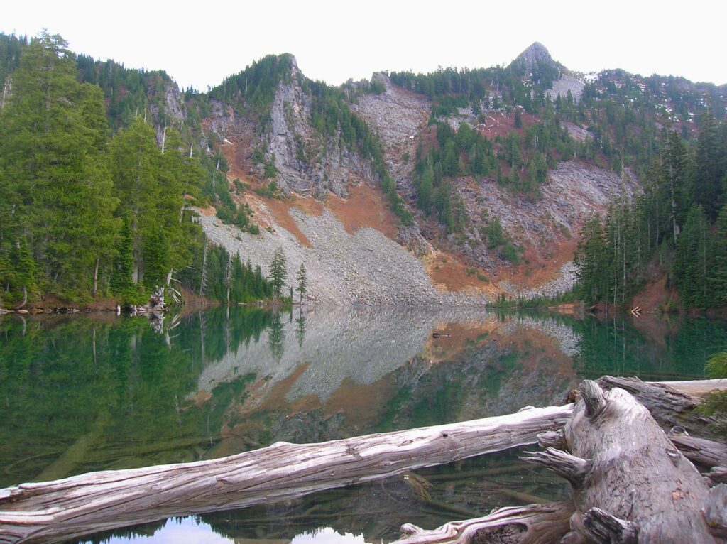
Read MoreRound Lake — Find solitude on Lost Creek Ridge

Quick Facts: Location: Mountain Loop Highway near Darrington Land Agency: Mount Baker-Snoqualmie National Forest Roundtrip: 9.8 miles Elevation gain: 4300 feet Difficulty: strenuous Green Trails Map: Mountain Loop Highway 111SX Contact: Darrington Ranger District; Mount Baker-Snoqualmie National Forest Access: From Darrington follow the Mountain Loop Highway for 16 miles to a junction with Forest Road 49. Turn…
Read More