Seattle NorthCountry
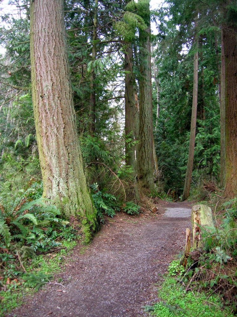
Southwest County Park─Emerald Swath above Edmonds
Quick Facts: Location: Edmonds Land Agency: Snohomish County Parks and Recreation Roundtrip: Up to 5 miles Elevation Gain: up to 250 feet Access: From Everett follow I-5 south to exit 181. Now follow SR 524 (196th St SW) west passing SR 99 and in about another mile turn right onto 76th Ave W. Proceed for about .5…
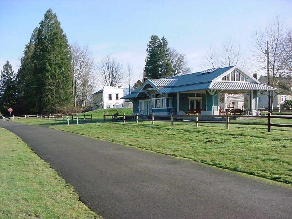
Read MoreCentennial Trail: Haller Park to Lake Bryant–river, wetlands, and rural charm
Quick Facts: Location: Arlington Land Agency: Snohomish County Parks Roundtrip: 6.2 miles Elevation Gain: 100 feet Contact: Snohomish County Parks Notes: Paved trail is also open to bicycles and is wheelchair accessible; dogs must be leashed. Access: Southern Access is from Haller Park in Arlington near the junction of SR 9 and SR 530, four miles…
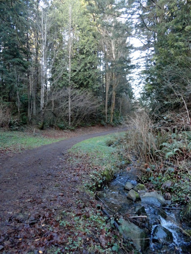
Read MoreCandy Cane Park (Terrace Creek Park)-Tis the season for a visit
Quick Facts: Location: Mountlake Terrace, southern Snohomish County Land Agency: City of Mountlake Terrace Roundtrip: 2.0 miles Elevation Gain: 125 feet Access: From Seattle: drive I-5 north to exit 178. Turn right and follow 236th Street SW for 0.7 mile. Then turn left onto 48th Ave W and drive north 0.2 mile to park and parking on your…
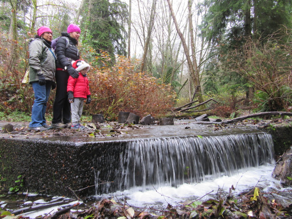
Read MoreYost Park– Slice of Nature in the heart of Edmonds
Quick Facts: Location: Edmonds Land Agency: Edmonds Parks and Recreation Department Roundtrip: About 1.5 miles of trails Elevation Gain: up to 300 feet Contact: Edmonds Parks and Recreation Access: From Everett or Seattle take I-5 to Exit 179. Then head west on 220th Street SW for 2.1 miles. Turn right and head north on 96th Ave…
Read MoreBoulder River─ walk among crashing waterfalls and through primeval forest
Quick Facts Location: Boulder River Wilderness, near Darrington Land Agency: National Forest Service Round trip: 9.6 miles Elevation Gain: 750 feet Green Trails Maps: Mountain Loop Highway 111SX Access: From Arlington follow SR 530 for 20 miles. Just beyond Milepost 41 near a subdivision turn right onto FR 2010 and continue for 3.7 miles to trailhead. Contact:…
Read MoreSurprise and Glacier Lakes—A surprisingly nice pair of alpine lakes near Stevens Pass
Quick Facts: Location: Stevens Pass area Land Agency: Mount Baker-Snoqualmie National Forest Roundtrip: 11.0 miles Elevation Gain: 2,800 feet Contact: Skykomish Ranger District: Mount Baker-Snoqualmie National Forest Notes: Northwest Forest Pass required; Dogs permitted on leash; Wilderness rules apply Access: From Everett follow US 2 east to Skykomish. Continue 10 more miles turning right (just after…
Read MoreBald Eagle Peak — Old-growth, stunning views, and solitude
Quick Facts: Location: Henry M Jackson Wilderness Land Agency: National Forest Service Round Trip: 13.0 miles Elevation Gain: 2800 feet Contact: Darrington Ranger District, Mount Baker-Snoqualmie National Forest Green Trails Maps: Mountain Loop Highway 111SX Notes: FR 49 is rough in spot requiring a high clearance vehicle; Northwest Forest pass required; dog-friendly, exceptional old-growth, wilderness regulations…
Read MoreLake Valhalla– No slain souls here-just renewed ones
Quick Facts: Location: Henry M Jackson Wilderness, Stevens Pass area Land Agency: Okanogan-Wenatchee National Forest Roundtrip: 12.0 miles Elevation gain: 1,500 feet Difficulty: moderate Green Trails Map: Alpine Lakes-Stevens Pass No. 176S Contact: Wenatchee River Ranger District (Leavenworth): Okanogan-Wenatchee National Forest Access: From Everett, head east on US 2 for 65 miles to Stevens Pass.…
Read MoreLake Dorothy — Easy Hike to Large Alpine Lake
Quick Facts: Location: Skykomish Valley Land Agency: National Forest Service Round Trip: 3.8 miles Elevation Gain: 800 feet Contact: Skykomish Ranger District, Mount Baker-Snoqualmie National Forest Green Trails Maps: Green Trails, Alpine Lakes West Stevens Pass No 176S Notes: Northwest Forest pass or Interagency pass required; dogs must be leashed; wilderness regulations apply Access: From Everett,…
Read MoreSilver Lake─Precious body of water above old mining district
Quick Facts: Location: Mountain Loop Highway near Granite Falls Land Agency: Mount Baker-Snoqualmie National Forest Roundtrip: 13.0 miles Elevation Gain: 2,100 feet Green Trails Map: Mountain Loop Highway 111SX Access: From Granite Falls, follow the Mountain Loop Highway east for 31 miles to Barlow Pass. Hike begins by walking up gated Monte Cristo Road. Note: Northwest…
Read More