Rail Trails
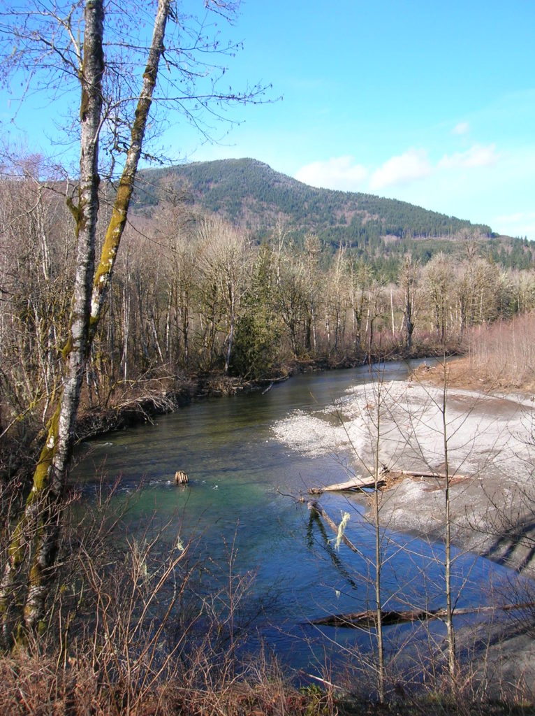
Whitehorse Trail East–Hike along the North Fork Stilly
Quick Facts: Location: SR 530 Darrington Land Agency: Snohomish County Parks Roundtrip: 14 miles Elevation gain: 160 feet Difficulty: Easy Contact: Snohomish County Parks Green Trails Map: Mountain Loop Highway no. 111SX Recommended Guidebook: Day Hiking North Cascades (Mountaineers Books) Notes: Dogs allowed on leash Access: Take exit 208 off of I-5 and drive 25 miles east…
Read MoreGreen to Cedar Rivers Trail
Walk across Maple Valley through a “wilderness” park Quick Facts: Location: Maple Valley, WA Distance: 3.3 miles one way Contact: King County Parks Elevation Gain: 250 feet Notes: Dogs permitted on leash Trailhead directions: From Seattle follow I-5 to I-405 and take Exit 4 in Renton. Then drive SR 169 south for 11.3 miles turning…
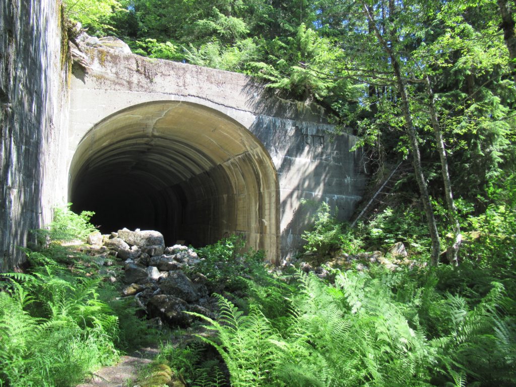
Read MoreIron Goat Trail –Hike back into time to one of Washington’s most tragic events
Quick Facts: Location: Stevens Pass Land Agency: Mount Baker-Snoqualmie National Forest Roundtrip: 12.0 miles Elevation gain: 650 feet Green Trails Maps: Alpine Lakes Stevens Pass no. 176S Contact: Skykomish Ranger District: Mount Baker Snoqualmie National Forest Notes: Northwest Forest Pass required Access: From Everett follow US 2 east for 55 miles to Milepost 55. Turn…
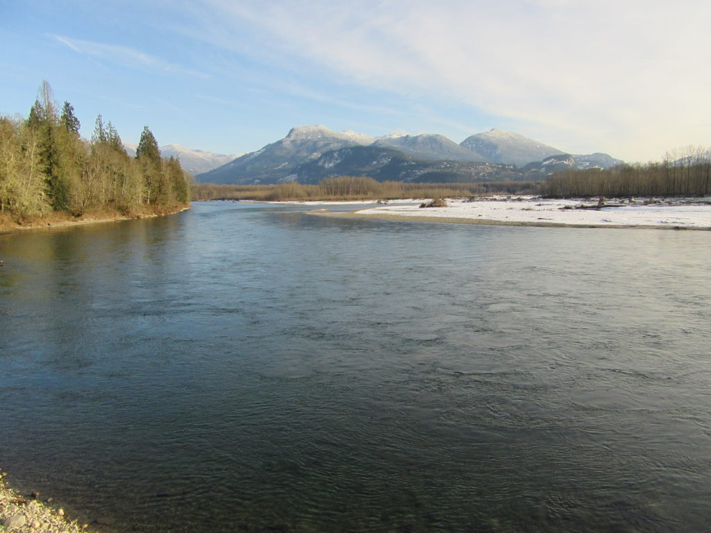
Read MoreSkagit-Sauk Reach Trail
Watch for eagles along an old remote rail line Quick Facts: Location: Skagit Valley Land Agency: Skagit County Parks Round Trip: 3.5 miles Elevation Gain: minimal Contact: Howard Miller Steelhead Park Detailed Information: Day Hiking North Cascades Second edition (Mountaineers Books) Notes: Dogs permitted on leash. Access: From Burlington (exit 230 on I-5), travel 38…
Read MoreWillapa Hills Trail─ Follow the Chehalis River back into time
Quick Facts: Location: Western Lewis County Land Agency: Washington State Parks Roundtrip: 10.0 miles Elevation Gain: 100 feet Access: From Chehalis (exit 77 on I-5) follow SR 6 west for 23 miles to the town of Pe Ell. At blinking red light turn left onto 6th Ave and proceed 0.1 mile to Trailhead at old…
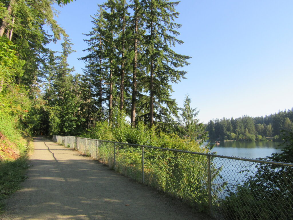
Read MoreLake Sylvia─A great place to log some hiking miles
Quick Facts: Location: Montesano, Olympic Peninsula Land Agency: Washington State Parks Roundtrip: 4.9 miles Elevation Gain: 220 feet Access: From US 12 in Montesano, head north on Main Street past the county courthouse. Turn left onto Spruce Avenue proceeding three blocks. Then turn right on 3rd Street which becomes Sylvia Lake Road for 1.2 miles to…
Read MoreCloverdale Farm -Explore this future park on the Stilly
Quick Facts: Location: North Fork Stillaguamish River Valley near Arlington Land Agency: Snohomish County Parks Roundtrip: 4.5 miles Elevation gain: 50 feet Difficulty: easy Contact: Snohomish County Parks Notes: Dogs permitted on leash. All farm buildings are closed to public. Access: From Exit 208 on I-5 head east on SR 530 for 4.0 miles to Arlington. Continue east on SR 530 for…
Read MorePreston-Snoqualmie Trail — Overlooked rail trail between Snoqualmie Falls and Tiger Mountain
Quick Facts: Location: Preston and Snoqualmie Land Agency: King County Parks Distance: 11.0 miles roundtrip Elevation Gain: 500 feet Contact: King County Parks Notes: dogs on leash Access: From Seattle follow I-90 east to Exit 22. Then turn left on SE 82nd Street, cross freeway and turn right onto SE High Point Way. Drive 0.4…
Read MoreOaks Bottom Wildlife Refuge– Portland’s Premier Wildlife Refuge
Quick Facts: Location: Sellwood neighborhood, Portland, Oregon Land Agency: Portland Parks and Recreation Roundtrip: 2.8 miles Elevation gain: 60 feet Contact: Portland Parks and Recreation Notes: dogs must be leashed Access: From Ross Island Bridge follow US 26 east (Powell Boulevard) immediately turning right onto SR 99E (SE McLoughlin Boulevard). In just over one mile exit…
Read MoreHertz Trail –Hike along a wild shoreline of Lake Whatcom
Quick Facts: Location: western Whatcom County, near Bellingham Land Agency: Whatcom County Parks Round Trip: 6.2 miles roundtrip Elevation Gain: 60 feet Contact: Whatcom County Parks Detailed Information: Urban Trails Bellingham (Mountaineers Books) Notes: Dogs allowed on leash Access: From Bellingham follow I-5 to Exit 253. Then follow Lakeway Drive east for 1.7 miles bearing…
Read More