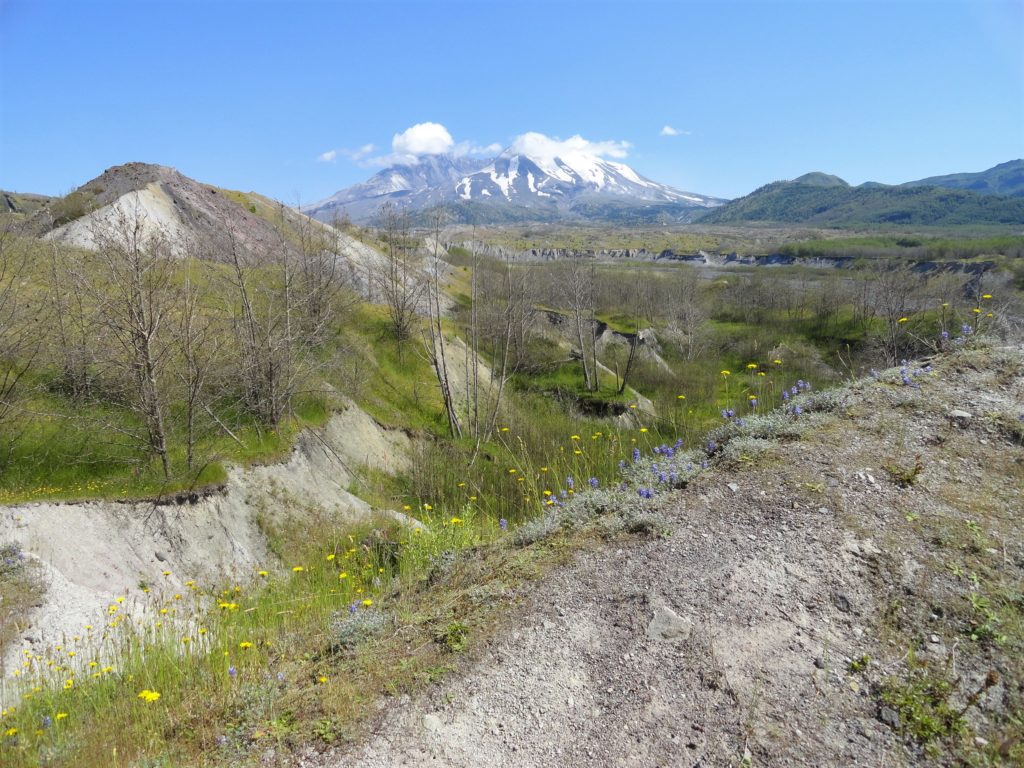
Mt St Helens
Willapa Hills Trail─ Follow the Chehalis River back into time
Quick Facts: Location: Western Lewis County Land Agency: Washington State Parks Roundtrip: 10.0 miles Elevation Gain: 100 feet Access: From Chehalis (exit 77 on I-5) follow SR 6 west for 23 miles to the town of Pe Ell. At blinking red light turn left onto 6th Ave and proceed 0.1 mile to Trailhead at old…
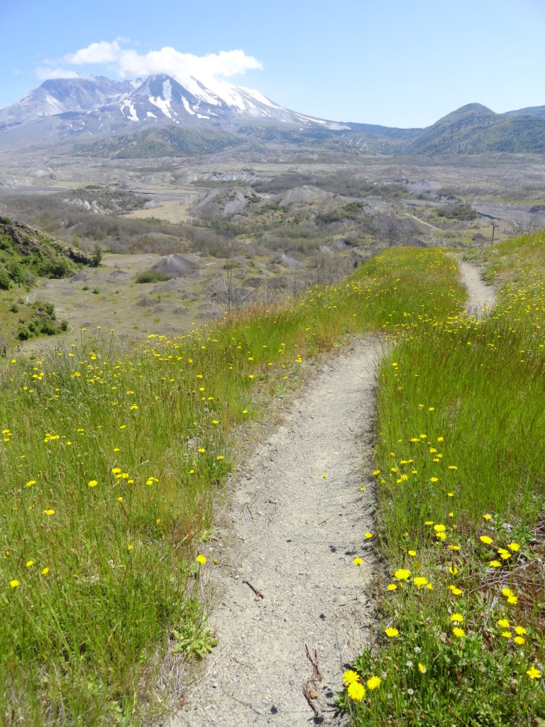
Read MoreThe Hummocks — Hike through the former heart of Mount St. Helens
Quick Facts: Location: Spirit Lake Highway, Mount St Helens National Volcanic Monument Land Agency: National Forest Service Roundtrip: 2.5 miles Elevation Gain: 250 feet Contact: Mount St Helens National Volcanic Monument Green Trails Map: Mount St Helens 332S Notes: Northwest Forest Pass (or interagency pass) required; dogs prohibited; off trail travel prohibited. Practice Leave No Trace…
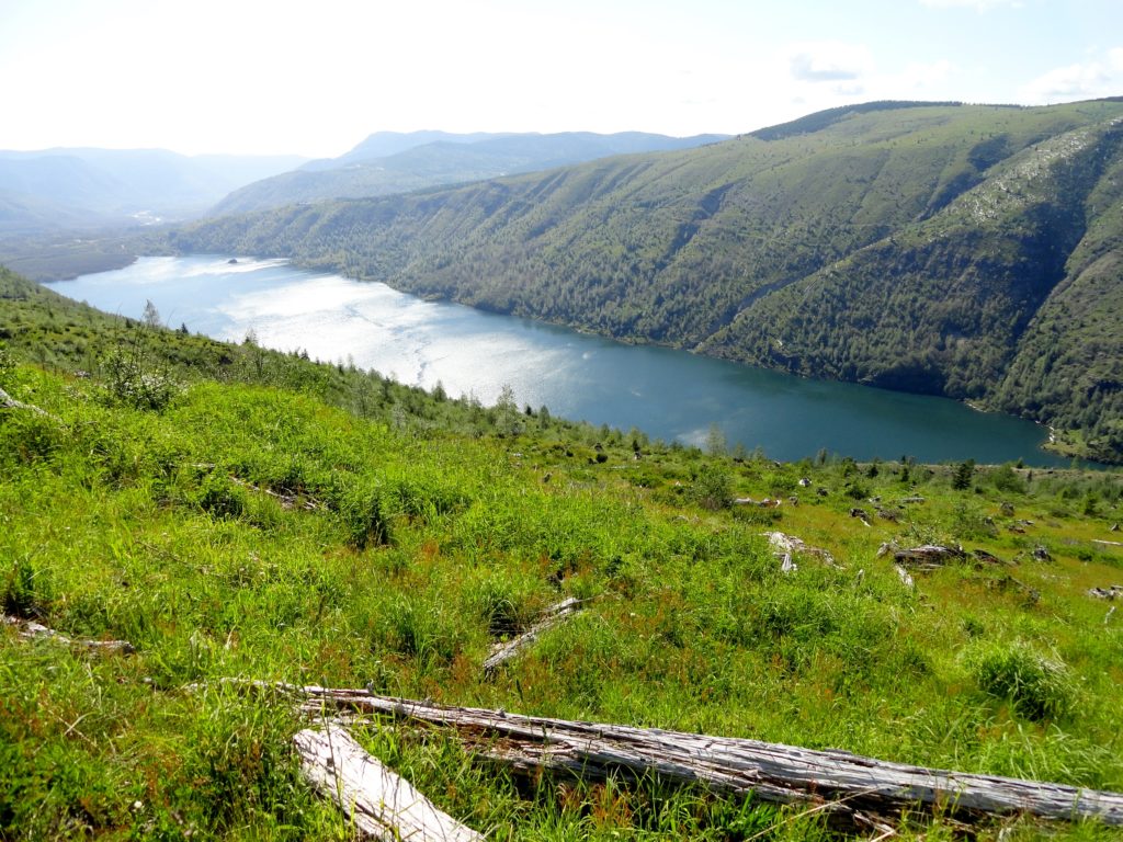
Read MoreSouth Coldwater Ridge — Elk, toppled tractors, and a stunning view of a volcano-formed lake
Quick Facts: Location: Spirit Lake Highway Mount St. Helens West Land Agency: Mount St. Helens National Volcanic Monument Roundtrip: 6.8 miles Elevation gain: 1525 feet Difficulty: moderate Green Trails Map: Mount St Helens 332S Recommended Guidebook: Day Hiking Mount St Helens Contact: Mount St. Helens National Volcanic Monument Access: From Castle Rock follow SR 504 east…
Read MoreSasquatch Loop — Snowshoe to a Snotel on Mount St. Helens
Quick Facts: Location: Mount St Helens National Volcanic Monument Land Agency: Gifford Pinchot National Forest Roundtrip: 9.9 miles Elevation gain: 1,000 feet Contact: Mount St Helens National Volcanic Monument Green Trails Map: Green Trails Mount St Helens 332S Notes: Sno-park Pass required. Do not snowshoe in cross-country ski tracks and be aware of snowmobiles on…
Read MoreLewis and Clark State Park─Discover beautiful Old Growth Forest along the old highway ninety-nine
Quick Facts: Location: Chehalis River Valley Land Agency: Washington State Parks Roundtrip: 2.0 miles Elevation Gain: 125 feet Note: Discover Pass required; dogs permitted on leash. Access: From Exit 68 on I-5, proceed 2.5 miles east on US 12 to Mary’s Corner. Turn right onto Jackson Highway entering state park in .7 mile. Continue another…
Read MoreJohnston Ridge via the Boundary Trail — Shun the road to this historic and magnificent site
Quick Facts: Location: Mount St Helens Land Agency: Mount St Helens National Volcanic Monument Round Trip: 9.0miles Elevation Gain: 1875 feet Contact: Mount St Helens National Volcanic Monument Green Trails Map: Mount St Helens 332S Recommended Guidebook: Day Hiking Mount St. Helens by Craig Romano and Aaron Theisen (Mountaineers Books) Notes: dogs prohibited; off trail…
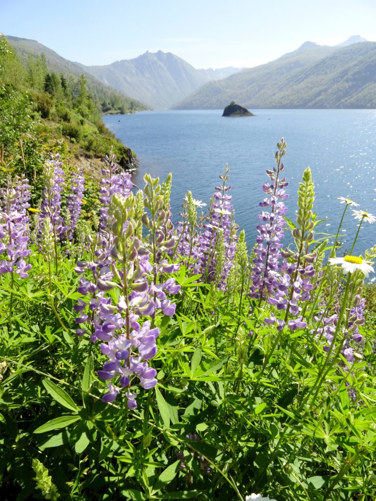
Read MoreColdwater Lake– Saunter through a healing landscape exploding with wildflowers!
Quick Facts: Location: Mount St. Helens National Volcanic Monument Land Agency: US Forest Service Roundtrip: 9.0 miles Elevation Gain: 550 feet Contact: Mount St Helens National Volcanic Monument Green Trails Map: Green Trails Mount St Helens 332S Notes: Northwest Forest Pass (or interagency pass) required; No dogs; Trail open to bikes: Off trail travel prohibited Access: From Castle Rock…
Read MoreApe Canyon–Hike through old-growth forest above a swath of destruction
Quick Facts: Location: Mount St. Helens National Volcanic Monument Land Agency: National Forest Service Roundtrip: 9.4 miles Elevation Gain: 1,550 feet Contact: Mount St. Helens National Volcanic Monument Green Trails Map: Mount St Helens 332 Recommended Resource: Day Hiking Mount St Helens (Mountaineers Books) Notes: Northwest Forest Pass or Interagency Pass required. Trail is also open to mountain…
Read More
