Mt Rainier
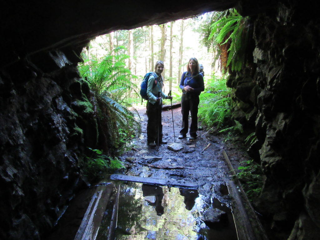
Old Mine Trail — Gold above the Carbon
Quick Facts: Location: Mount Rainier National Park Land Agency: National Park Service Round Trip: 3.0 miles roundtrip Elevation Gain: 350 feet Green Trails Map: Green Trails Mount Rainier National Park 269S Contact: Mount Rainier National Park Notes: Dogs prohibited; Drones prohibited; National Park fee or Interagency Pass required Access: From Buckley, follow SR 165 south. At…
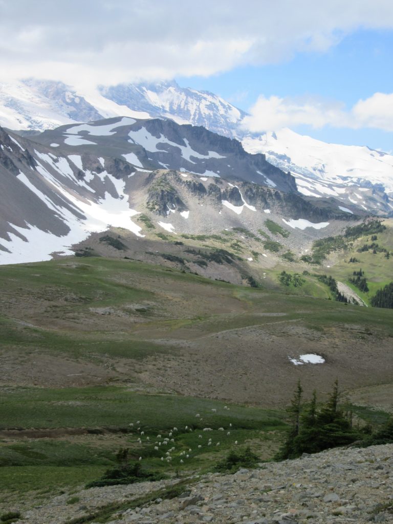
Read MoreMount Fremont–Lookout among herds of mountain goats
Quick Facts: Location: Mount Rainier National Park Land Agency: National Park Service Round Trip: 5.4 miles Elevation Gain: 900 feet Contact: Mount Rainier National Park Green Trails Maps: Mount Rainier National Park 269S Notes: National Park Entrance Fee or Interagency Pass; Dogs-prohibited Access: From Enumclaw follow SR 410 east for 37.5 miles to Mount Rainier National…
Read MoreGreenwood Lake–Solitude in the shadow of High Rock
Quick Facts: Location: Nisqually River Valley Land Agency: National Forest Service Round Trip: 4.0 miles Elevation Gain: 1450 feet Contact: Cowlitz Valley Ranger Station (Randle), Gifford Pinchot National Forest Green Trails Maps: Randle, WA no. 301 Notes: Road to trailhead can be rough. Trail is open to motorcycles but sees little use as it receives little…
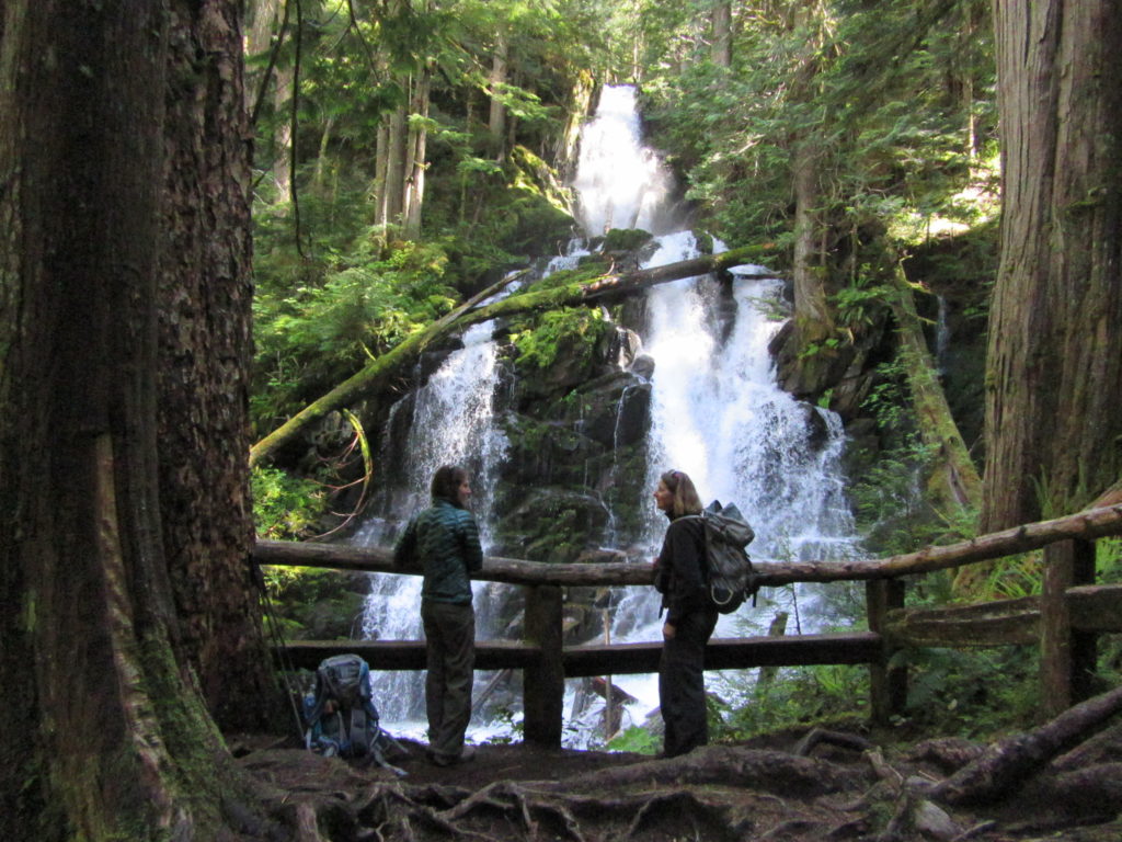
Read MoreEastside Trail — Big trees, big waterfalls, and lots of tranquility
Quick Facts: Location: Mount Rainier National park Land Agency: National Park Service One way: 9.0 miles Elevation Loss: 2,200 feet Contact: Mount Rainier National Park Green Trails Maps: Mount Rainier National Park 269S Notes: National Park entry fee; Dogs prohibited; Keep children nearby around waterfalls and creek sides as a slip or fall can lead to…
Read MoreCorral Pass –Challenging snow shoe trip to high pass on Castle Mountain
Quick Facts: IMPORTANT CLOSURE NOTE: UNFORTUNATELY DUE TO SUMMER WILDFIRE DAMAGE THIS ROUTE AND SURROUNDING AREA WILL REMAIN CLOSED TO THE PUBLIC UNTIL DECEMBER 31, 2018. Location: Mount Baker-Snoqualmie National Forest Land Agency: National Forest Service Roundtrip: 11.5 miles Elevation Gain: 2,800 feet Contact: Mount Baker-Snoqualmie National Forest Green Trails Maps: Greenwater no. 238, Lester no. 239,…
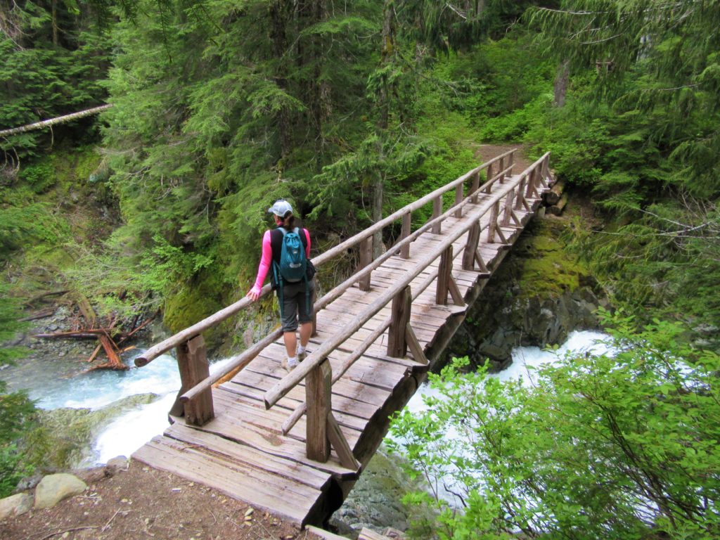
Read MoreGreen Lake and Ranger Falls –Towering trees and a three-tiered cataract
Quick Facts: Location: Carbon River Valley, Mount Rainier National Park Land Agency: National Park Service Roundtrip: 9.6 miles Elevation Gain: 1,350 feet Contact: Mount Rainier National Park Green Trails Map: Mount Rainier National Park 269SX Notes: National Park entrance fee; Dogs Prohibited; Practice Leave No Trace Principles; camping only in designated spots and with a permit Access: From Buckley,…
Read More


