Columbia River Gorge Hikes
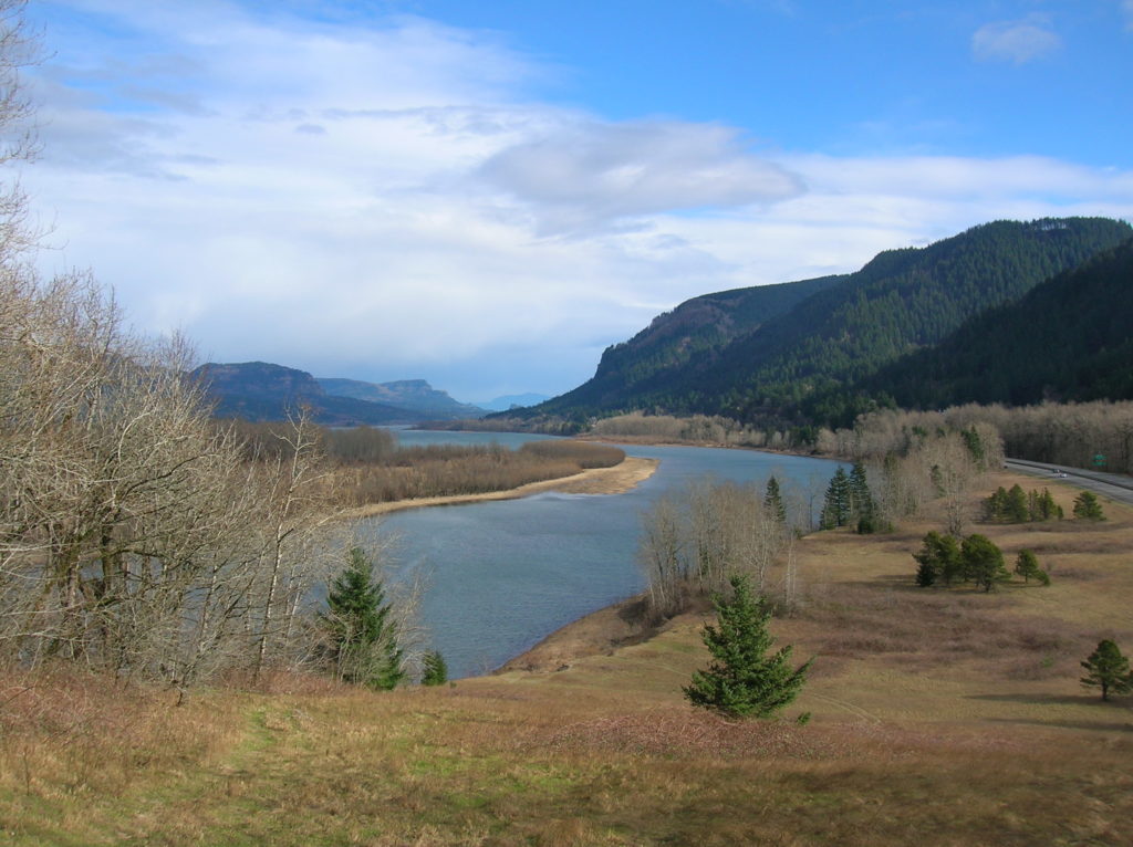
Rooster Rock State Park- Hike above the Columbia River Buffs!
Quick Facts: Location: Columbia River Gorge, Oregon Land Agency: Oregon State Parks Roundtrip: 3.3 miles Elevation Gain: 300 feet Contact: Oregon State Parks Notes: $5.00 day use fee or $30 annual pass; dogs must be leashed Green Trails Maps: Columbia River Gorge West No. 428S Access: From Portland follow I-84 east to Exit 25. At .5…
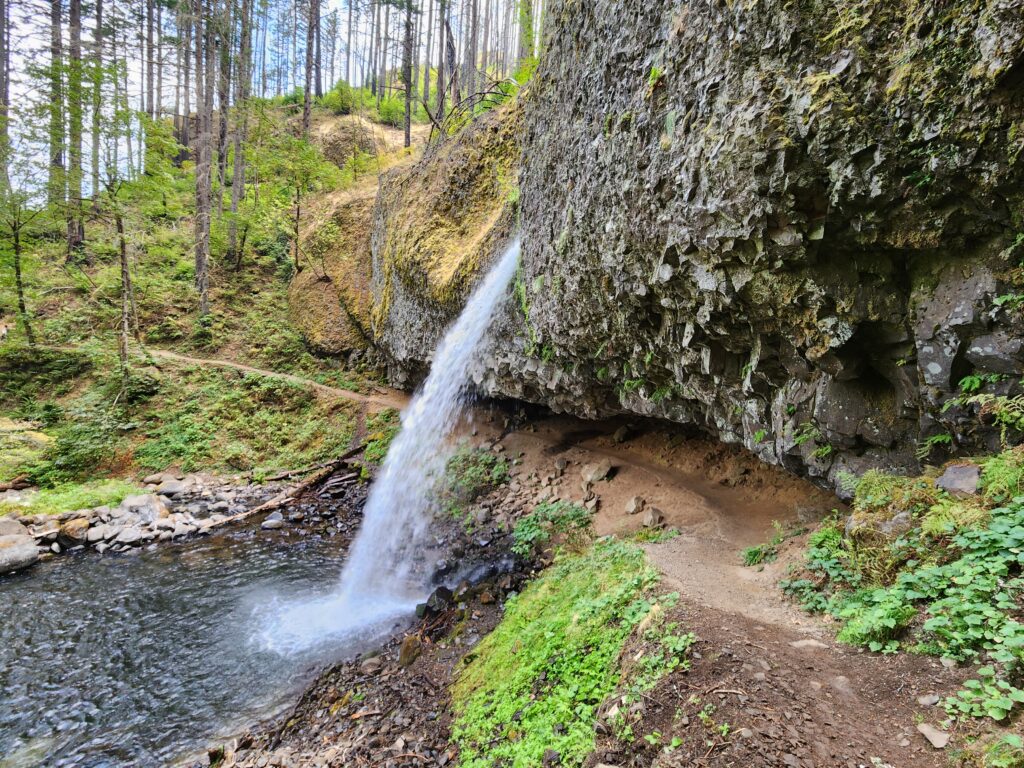
Read MorePonytail Falls Loop
Behind the scenes beauty! Quick Facts: Location: Columbia River Gorge Oregon Distance: 2.7 miles round trip Elevation Gain: 450 feet Contact: Columbia River Gorge National Scenic Area Maps: Green Trails Columbia River Gorge–West No. 428S Recommended Guidebook: Day Hiking Columbia River Gorge (Mountaineers Books) Notes: Dogs allowed on-leash. Trailhead directions: From Portland or Hood River,…
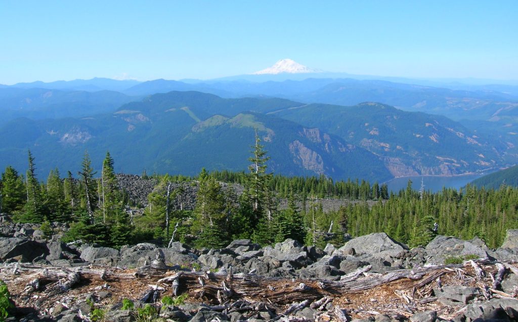
Read MoreMount Defiance─ the Undisputed Granddaddy of the Gorge
Quick Facts: Location: Columbia River Gorge National Scenic Area, Oregon Land Agency: National Forest Service Roundtrip: 13.2 miles Elevation Gain: 5,130 feet Green Trails Map: Columbia River Gorge-West Map 428S Access: From Portland follow I-84 east to Exit 55 to the Starvation Creek Trailhead. Contact: Columbia Gorge National Scenic Area Recommended Guidebook: Day Hiking Columbia…
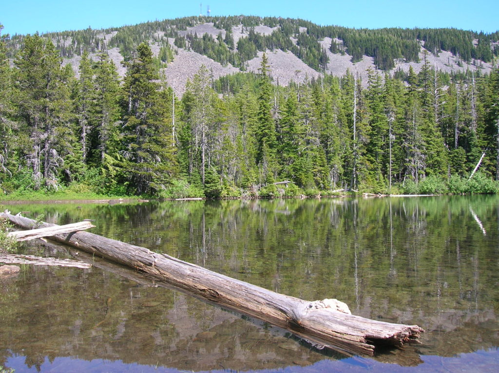
Read MoreBear Lake—A bear of a lake but not of a hike!
Quick Facts: Location: Mark O Hatfield Wilderness, Columbia River Gorge National Scenic Area, Oregon Land Agency: National Forest Service Roundtrip: 2.4 miles Elevation Gain: 575 feet Green Trails Map: Columbia River Gorge -West No 428S Contact: Mount Hood National Forest, Hood River Ranger Station Notes: Wilderness rules apply Access: From Portland follow I-84 east to…
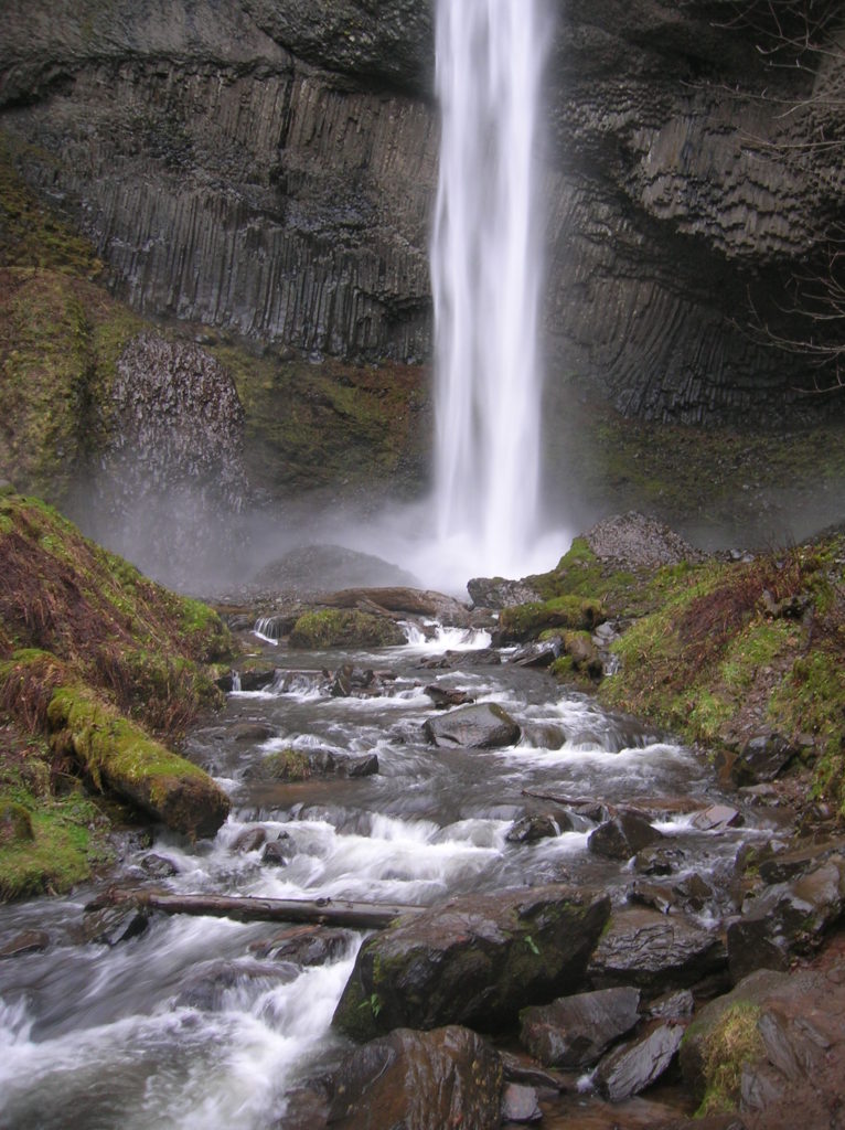
Read MoreLatourell Falls─First in a long line of stunning Columbia River Gorge waterfalls
Quick Facts: Location: Columbia River Gorge National Scenic Area Land Agency: Oregon State Parks Roundtrip: 2.3 miles Elevation Gain: 650 feet Green Trails Map: Columbia River Gorge- West no. 428S Contact: Guy Talbot State Park Access: From Portland follow I-84 east to Exit 28. Then follow the Historic Columbia Highway west 2.6 miles to trailhead.…
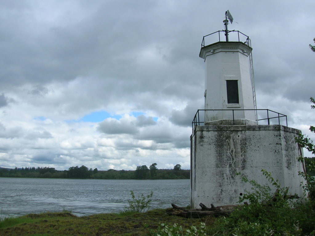
Read MoreWarrior Rock Lighthouse─A scenic and historic hike on Oregon’s largest island
Quick Facts: Location: Sauvie Island (Portland, Oregon) Land Agency: Oregon Department of Fish and Wildlife Roundtrip: 6.5 miles Elevation Gain: 10 feet Access: From downtown Portland, follow US 30 west for just shy of 11 miles turning right onto the Sauvie Island Bridge. Follow Sauvie Island Road passing Cracker Barrel Grocery in .3 mile (where…
Read MoreTomlike Mountain–There’s much to like about this Columbia River Gorge peak
Quick Facts: Location: Mark Hatfield Wilderness, Columbia River Gorge, Oregon Land Agency: Mount Hood National Forest Roundtrip: 6.0 miles Elevation gain: 1,300 feet Green Trails Map: Columbia River Gorge -West No 428S Contact: Mount Hood National Forest, Hood River Ranger Station Notes: Northwest Forest Pass or Inter-agency Pass Required Recommended Guidebook: Day Hiking Columbia River…
Read MoreHamilton Mountain — Breathtaking views from above Beacon Rock
Quick Facts: Location: Beacon Rock State Park, Columbia River Gorge National Scenic Area Land Agency: Washington State Parks Roundtrip: 7.5 miles Elevation gain: 2,100 feet Contact: Beacon Rock State Park Notes: Discover Pass required; Dogs permitted on leash. Green Trails Map: Columbia River Gorge West No. 428S Recommended Guidebooks: Day Hiking Columbia River Gorge, 100…
Read MoreLa Center Bottoms─Wintering bird haven on the East Fork of the Lewis River
Quick Facts: Location: La Center, Clark County Wash. Land Agency: Clark County Parks Roundtrip: 2.0 miles Elevation Gain: 30 feet Special Note: Dogs permitted on leash. Access: From Vancouver, head north on I-5 to Exit 16. Turn right onto La Center Road and proceed for 1.6 miles to the bridge over the East Fork Lewis River.…
Read MoreTracy Hill — Wild turkeys and sublime views
Quick Facts: Location: Columbia River Gorge National Scenic Area Land Agency: Columbia Gorge National Scenic Area Roundtrip: 5.0 miles Elevation gain: 1150 feet Difficulty: Moderate Contact: Columbia Gorge National Scenic Area Notes: Dogs permitted on leash. Be aware of ticks and poison oak. Green Trails Map: Columbia River Gorge East No. 432S Good to Know:…
Read More