Bird Watching
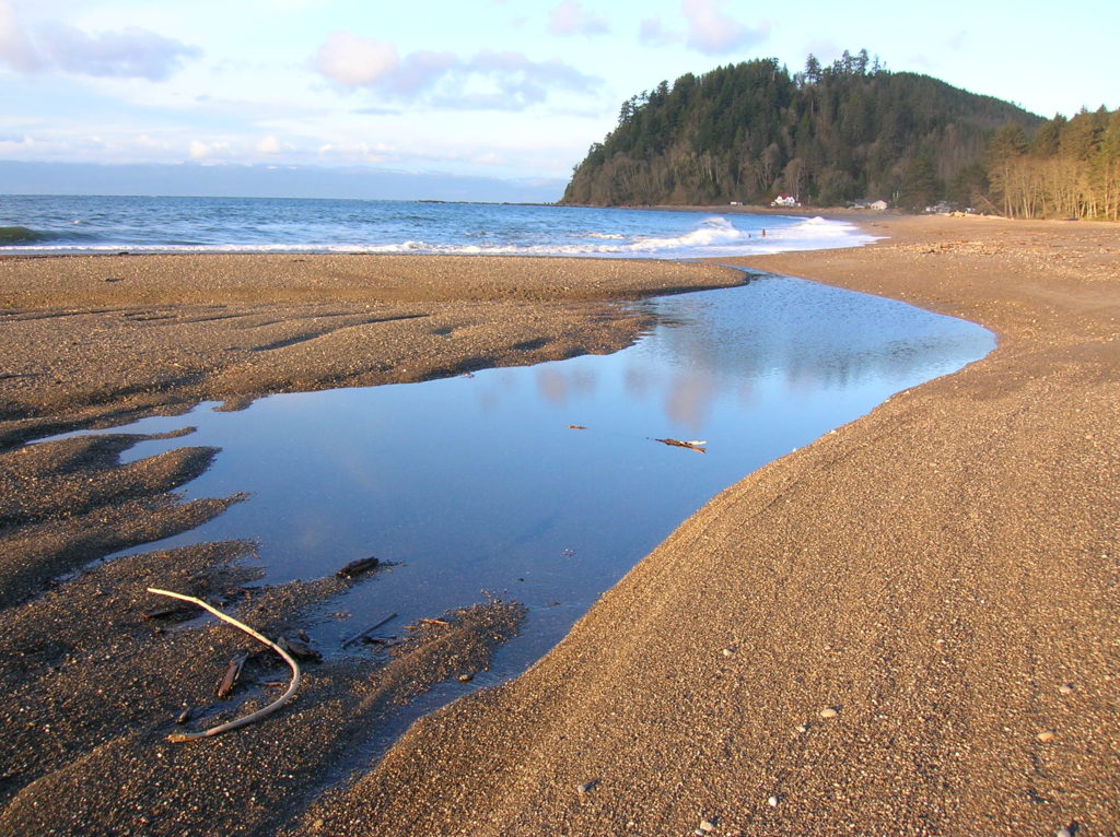
Clallam Bay Spit — Explore Washington’s deserted and spectacular North Coast
Quick Facts: Location: Strait of Juan de Fuca, North Olympic Peninsula Land Agency: Clallam County Parks and Washington State Parks Roundtrip: 2.1 miles Elevation Gain: minimal Contact: Clallam County Parks Notes: Dogs permitted on leash Access: From Port Angeles follow US 101 west for 5.4 miles to SR 112. Continue west for 44 miles on SR 112 to the community…
Read MoreJetty Island– It may be manmade, but it’s naturally delightful!
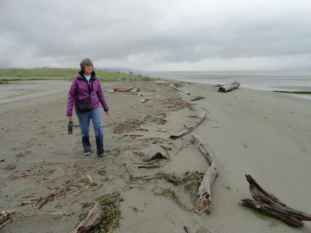
Quick Facts: Location: Everett Land Agency: Everett Parks and Recreation Roundtrip: up to 5.0 miles Elevation gain: none Difficulty: Easy Contact: Everett Parks and Recreation Department Notes: Parking fee $2.00 (credit card or exact amount cash) Passenger Ferry runs on Wednesday through Sunday from July 5th until September 3rd and requires a reservation ($3 per…
Read MoreEbey’s Landing—A Sound Hiking Adventure
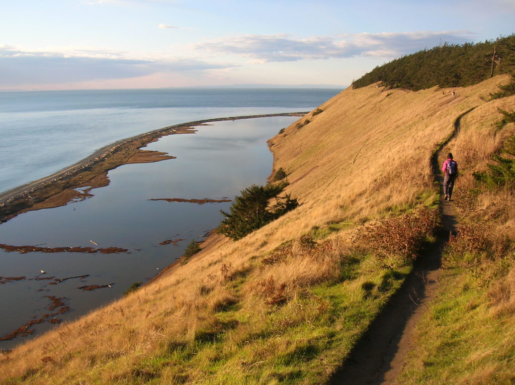
Quick Facts: Location: Whidbey Island Land Agency: National Park Service and Washington State Parks Roundtrip: 5.2 miles Elevation Gain: 260 feet Contact: Ebey’s Landing National Historical Reserve Suggested Guidebook: Urban Trails Everett Special note: Dogs permitted on leash. Access: Take Washington State Ferry from Mulkiteo to Clinton on Whidbey Island. Continue north on SR 525…
Read MoreNarbeck Wetland Sanctuary–Bird bursting, frog hopping wildlife habitat beside Boeing
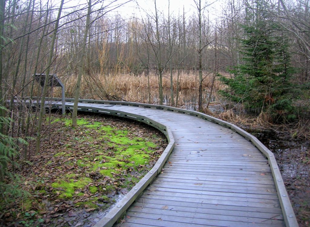
Quick Facts: Location: Everett Land Agency: Snohomish County Roundtrip: 1.8 miles Elevation gain: none Difficulty: Easy Contact: Friends of Narbeck Wetland Sanctuary Notes: Dogs must be leashed; open 7 a.m. to dusk Access: From Everett follow SR 526 west 2.5 miles exiting onto Seaway Boulevard. Proceed for 1.0 mile north. Entrance is on right, across…
Read MoreVirginia Lake─Sweet bird watching spot on Sauvie Island
Quick Facts: Location: Sauvie Island (Portland, Oregon) Land Agency: Willamette River Greenway, Wapato Access (Oregon State Parks) Roundtrip: 2.4 miles Elevation Gain: 50 feet Notes: Dogs must be leashed. Access: From downtown Portland, follow US 30 (NW St Helens Road) west for just shy of 11 miles turning right onto the Suavie Island Bridge. Then…
Read MorePortage Creek Wildlife Area─Wetland wandering on the Stillaguamish Floodplain
Quick Facts: Location: Arlington Land Agency: Snohomish County Parks and Recreation Contact: Snohomish Parks and Recreation Department Roundtrip: 2.0 miles Elevation Gain: minimal Notes: Dogs prohibited Access: From Exit 208 on I-5 (Arlington) head east on SR 530 for 2.3 miles. Then turn right onto 59th Ave SE. Continue for 0.2 mile and turn right…
Read MoreCrescent Lake─Swan stop at the confluence of the Skykomish and Snoqualmie Rivers
Quick Facts: Location: Snoqualmie Valley south of Monroe Land Agency: Washington Department of Fish and Wildlife (WDFW) Roundtrip: 2.2 miles Elevation Gain: None Notes: Discover Pass required; Crescent Lake is an active hunting area, so be aware of hunting seasons. Access: From Everett follow US 2 east to Monroe. Turn right onto SR 203 and follow for 3.8 miles turning right onto…
Read MoreRuby Beach─Easily accessible but still wild
Quick Facts: Location: Olympic Coast Land Agency: National Park Service Roundtrip: To Ruby Beach: 0.5 mile; To Hoh River: 6.0 miles Elevation Gain: 80 feet Green Trails Map: Olympic Coast 99S Notes: Dogs permitted but must be on a leash. Access: From Forks, head south on US 101 for 27 miles to Ruby Beach trailhead.…
Read MoreMcLane Creek– Wetland wonderland within minutes from downtown Olympia
Quick Facts: Location: Capitol State Forest Land Agency: Washington Department of Natural Resources (DNR) Roundtrip: 1.5 miles Elevation Gain: minimal Contact: Washington Department of Natural Resources (DNR); South Puget Sound Region Office Notes: Discover Pass required; dogs permitted on leash Access: From Exit 104 on I-5 in Olympia, head west on US 101 taking the Black…
Read MoreCape Flattery─Hike to the northwestern most point in Washington State
Quick Facts: Location: Olympic Peninsula Coast Land Agency: Makah Nation Reservation Roundtrip: 1.5 miles Elevation Gain: 300 feet Contact: Makah Indian Nation Green Trails Map: Cape Flattery, WA- No 98S Notes: Dogs allowed on leash, Makah Recreation Pass required ($20, available at Washburn’s General Store ,the Makah Museum and several other locations in Neah Bay).…
Read More