Best Spring Hikes
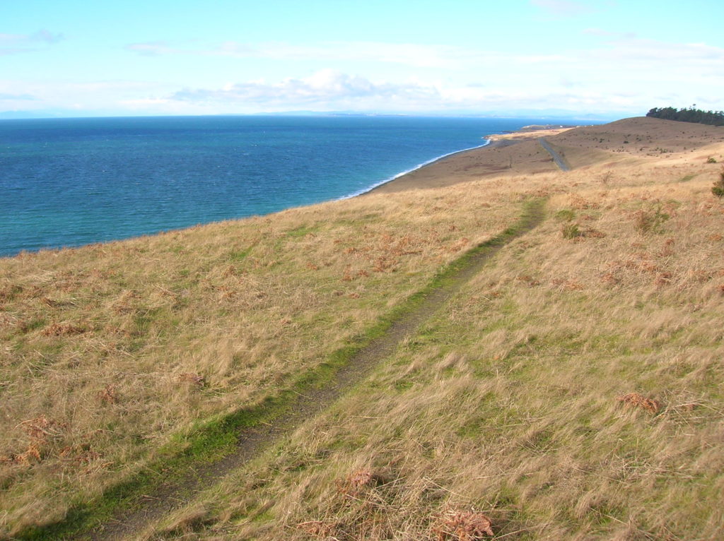
Mount Finlayson─This spoil of war now offers peaceful wandering
Quick Facts Location: San Juan Island Land Agency: National Park Service Roundtrip: 3.5 miles Elevation Gain: 290 feet Contact: San Juan Island National Historic Park Notes: Dogs must be leashed. Access: Take Washington State Ferry from Anacortes to Friday Harbor on San Juan Island. Follow Spring Street for .5 mile through town turning left onto…
Read MoreLizard and Lily Lakes
Peaceful wandering near the Oyster Dome Quick Facts: Location: Blanchard State Forest Distance: 7.5 miles roundtrip Elevation Gain: 1,500 feet Contact: Washington Department of Natural Resources Map: Square One Maps Chuckanut Recreation Area Notes: Discover Pass required to park at trailheads Trailhead directions: From I-5 Exit 240 in Alger head north on Lake Samish Road…
Read MoreMowich Lake
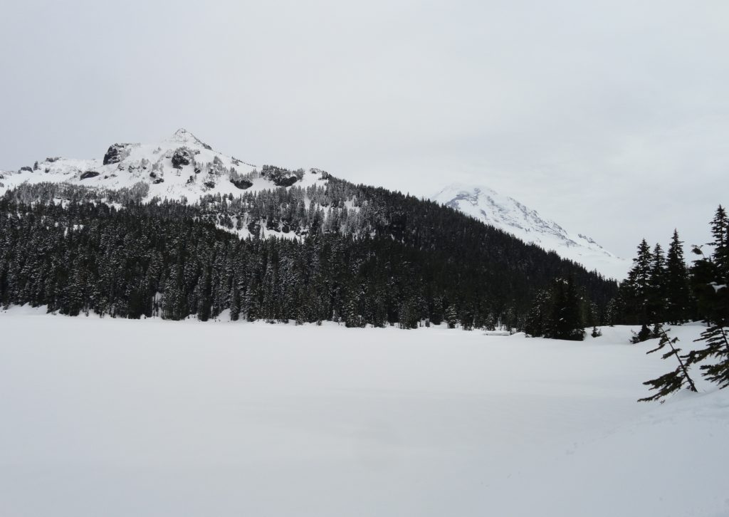
Snowshoe to a “deer” location in Mount Rainier National Park Quick Facts: Location: Mount Rainier National Park Distance: 10.2 miles roundtrip Elevation Gain: 1,350 feet Contact: Mount Rainier National Park Green Trails Map: Mount Rainier National Park 269SX Notes: Dogs are prohibited; Route is non-groomed and shared with skiers; National Park pass or Interagency Pass…
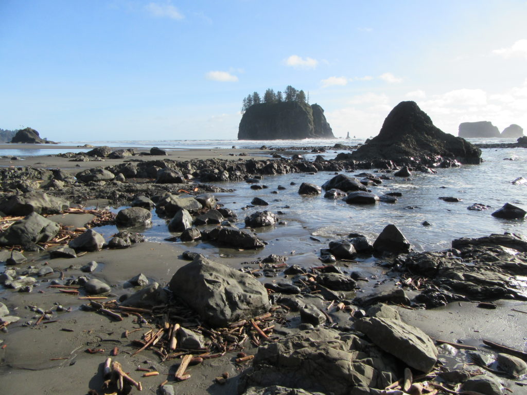
Read MoreSecond Beach– Home to First Rate Scenery
Quick Facts: Location: Olympic National Park Land Agency: Quileute Nation and National Park Service Roundtrip: 4.0 miles Elevation Gain: 310 feet Contact: Olympic National Park, Wilderness Information Center Green Trails Map: 99S Olympic Coast Beaches Notes: Dogs prohibited Access: From Forks follow US 101 north for 1.5 miles turning left onto State Route 110 (signed “Mora–La Push”). Continue…
Read MoreSwan Lake and Christmas Hill –A very merry hike minutes from downtown Victoria
Quick Facts: Location: Saanich Peninsula, Vancouver Island Land Agency: Swan Lake Christmas Hill Sanctuary Roundtrip: 3.5 miles/ 5.6 kilometers Elevation gain: 325 feet/ 100 meters Contact: Swan Lake Christmas Hill Sanctuary Notes: dogs prohibited Access: From Victoria or Sidney, follow BC 17 (Patricia Bay Highway) exiting onto McKenzie Ave. Proceed east turning right onto Rainbow…
Read MoreHeybrook Ridge–From the town of Index to stunning views of Mount Index
Quick Facts: Location: Skykomish Valley Land Agency: Snohomish County Parks Roundtrip: 3.4 miles Elevation Gain: 780 feet Contact: Friends of Heybrook Ridge Map: Green Trails, Alpine Lakes West Stevens Pass no. 176S Notes: Dogs allowed on leash Access: From Everett follow US 2 east for 35 miles turning left onto the Index Galena Road (just…
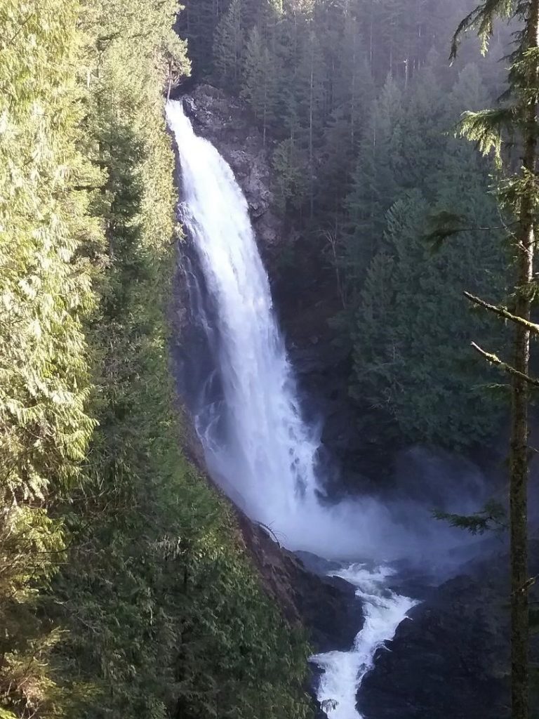
Read MoreWallace Falls –A classic series of falls and classic hike, fun for all
Quick Facts: Location: Skykomish River Valley Land Agency: Washington State Parks Roundtrip: 5.6 miles Elevation gain: 1,200 feet Green Trails Map: Alpine Lakes West Stevens Pass 176S Contact: Wallace Falls State Park Notes: Discover Pass required; Dogs must be leashed Access: From Everett follow US 2 for 28 miles east to Gold Bar. Just before…
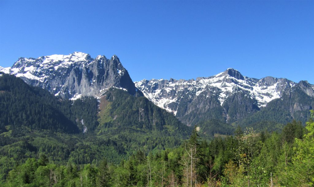
Read MoreBarclay Lake–placid lake at the base of awe-inspiring Baring Mountain
Quick Facts: Location: Skykomish River Valley Land Agency: National Forest Service Roundtrip: 4.4 miles Elevation Gain: 225 feet Green Trails Map: Alpine Lakes Stevens Pass Map 176S Contact: Skykomish Ranger District: Mount Baker -Snoqualmie National Forest Recommended Guidebook: Day Hiking Central Cascades 2nd edition (Mountaineers Books) Special Note: Northwest Forest Pass required. Access: From Everett, head 40 miles east on US 2 to…
Read MorePyramid Lake–A puny lake, but monumental surrounding forest
Quick Facts: Location: Ross Lake NRA, North Cascades Scenic Highway Land Agency: National Park Service Roundtrip: 4.5 miles High Point: feet Elevation gain: 1500 feet Difficulty: moderate Contact: North Cascades National Park Green Trails Map: North Cascades Ross Lake 16SX Notes: Dogs permitted on leash. Access: From Marblemount follow the North Cascades Highway (SR 20) east for 21 miles to trailhead located…
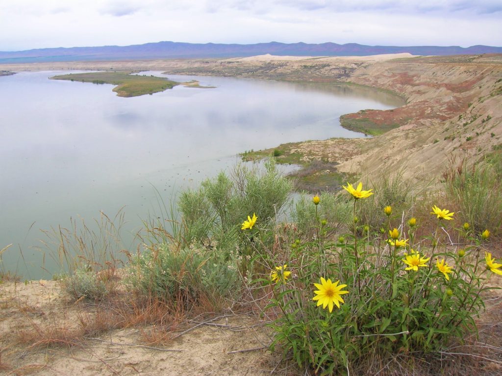
Read MoreWhite Bluffs Hanford Reach
Wilderness and stark beauty along the Columbia River Quick Facts: Location: Hanford Reach National Monument Round Trip: 7.0 miles Elevation Gain: 500 feet Contact: Hanford Reach National Monument, Mid-Columbia River National Wildlife Recreation Complex; Detailed Information: Day Hiking Eastern Washington (Mountaineers Books) Notes: watch for rattlesnakes; pack lots of water Access: From Ellensburg, follow I-90…
Read More