Archives
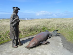
Quick Facts: Location: Long Beach Peninsula Land Agency: Washington State Parks and others Roundtrip: 8.2 miles on way Elevation Gain: 200 feet Contact: Long Beach Peninsula Visitors Bureau Access: For the southern trailhead, follow US 101 to Ilwaco. Turn left onto Elizabeth Ave and after two blocks turn right onto Howerton Ave. Park…

Quick Facts: Location: Mountain Loop Highway near Granite Falls Land Agency: Snohomish County Parks Roundtrip: 2.4 miles Elevation Gain: 300 feet Green trails Map: Mountain Loop Highway 111SX Access: From Granite Falls follow the Mountain Loop Highway east for 7.0 miles to trailhead located on your right, directly across from…

Location: Mountain Loop Highway near Granite Falls Land Agency: Mount Baker-Snoqualmie National Forest Roundtrip: 2.5 miles High Point: 3,222 feet Elevation gain: 850 feet Difficulty: moderate Green Trails Maps: Mountain Loop Highway 111SX Contact: Darrington Ranger District: Mount Baker Snoqualmie National Forest Note: Northwest Forest Pass or Inter-agency Pass required…

Quick Facts: Location: Selkirk Mountains Northeastern Washington Land Agency: Colville National Forest Roundtrip: 9.2 miles Elevation Gain: 650 feet Access: From Metaline Falls, Washington drive 2 miles north on SR 31. Turn right onto Sullivan Lake Road. Continue on this road for 4.7 miles before turning left onto FR 22. Proceed 0.4…

Quick Facts: Location: Sultan Basin Land Agency: Washington Department of Natural Resources Roundtrip: 13.8 miles Elevation Gain: 2,140 feet Green Trails Map: Index WA- No. 142 Notes: Dogs must be on leash; All hikers are required to stop and register (no fee) at kiosk at Olney Pass upon entering Sultan…

Quick Facts: Location: Kettle River Range, Ferry County Land Agency: National Forest Service Roundtrip: 6.0 miles Elevation gain: 1200 feet Contact: Colville National Forest, Republic Ranger District Notes: Hunting season has begun, wear orange Access: From Republic, head east on SR 20 for 16.8 miles to Sherman Pass. Turn left…

Quick Facts: Location: Methow Valley, WA Distance: 13.4 miles round trip Elevation Gain: 2300 feet Contact: Okanogan-Wenatchee National Forest, Methow Valley Ranger District Maps: Green Trails Methow Valley 51SX Recommended Guidebook: Day Hiking North Cascades (Mountaineers Books) Notes: trail open to motorcycles Trailhead directions: From Twisp drive south on SR…

Quick Facts: Location: Blewett Pass Land Agency: National Forest Service Roundtrip: 2.8 miles Elevation Gain: 400 feet Green Trails Map: Wenatchee/ Mission Ridge, WA- No 211S Contact: Cle Elum Ranger District: Okanogan-Wenatchee National Forest Access: From Cle Elum follow WA 970 east for 7.0 miles to US 97. Continue north…

Quick Facts: Location: Snoqualmie Pass Region Land Agency: National Forest Service Round Trip: 9.0 miles Elevation Gain: 3700 feet Contact: Mount Baker-Snoqualmie National Forest, Snoqualmie Ranger District North Bend Green Trails Maps: Green Trails, Snoqualmie Pass Gateway no. 207SX Notes: Northwest Forest pass or Interagency Pass required; Alpine Lakes Wilderness use…
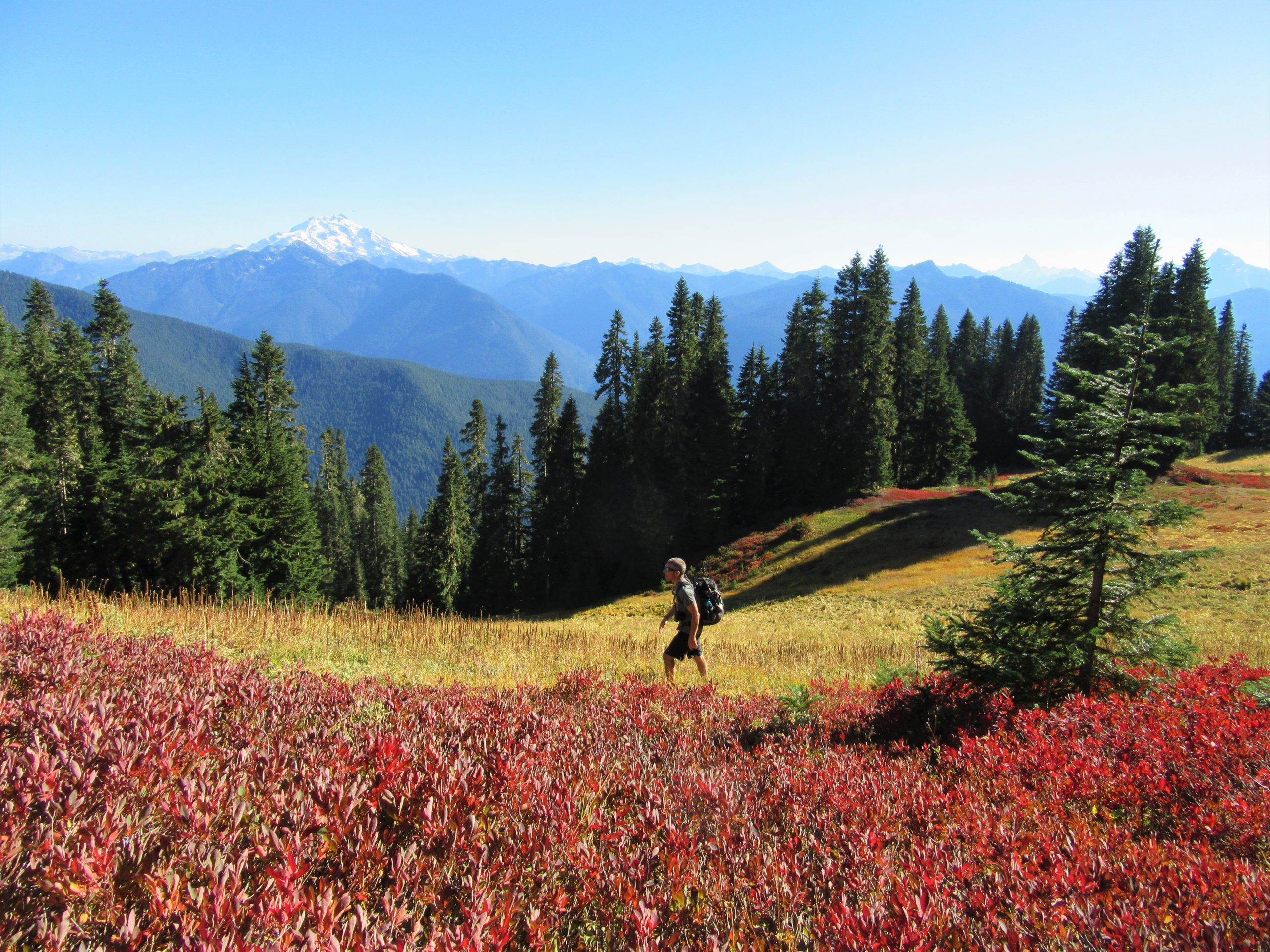
Quick Facts: Location: Suiattle River Valley Land Agency: National Forest Service Roundtrip: 12.6 miles Elevation Gain: 4500 feet Contact: Darrington Ranger District: Mount Baker Snoqualmie National Forest Green Trails Map: Mountain Loop Highway Map 111SX Notes: Glacier Peak Wilderness-wilderness rules apply; Practice Leave No Trace Principles Access: From Darrington travel north…