Chokwich Trail─Chock full of solitude

Quick Facts:
Location: Mountain Loop Highway near Darrington
Land Agency: Mount Baker-Snoqualmie National Forest
Roundtrip: 7.0 miles
Elevation Gain: 900 feet
Green Trails Map: Mountain Loop Highway no.111SX
Note: NW Forest Pass required
Access: From Granite Falls follow the Mountain Loop Highway east for 31 miles to Barlow Pass and end of pavement. Continue for 3.5 miles turning right onto FR 4080 (From Darrington, follow Mountain Loop Highway 19.5 miles). Follow FR 4080 for 0.8 mile to road end and trailhead.
Contact: Darrington Ranger District: Mount Baker Snoqualmie National Forest
Good to know: dog-friendly, solitude, waterfall
While Goat Lake is one of the more popular destinations off of the Mountain Loop Highway, almost everyone who has hiked there has never veered off onto the Chokwich Trail. That’s all the better for those looking for a little solitude in this increasingly busy area. You won’t find a big mountain lake on the Chokwich Trail, but you will see a pretty waterfall and some decent views of the Sauk River Valley. You’ll also have to deal with some brush and blowdowns–this trail sees little maintenance. But if it is peace and quiet you desire–and a little adventure–check this trail out,

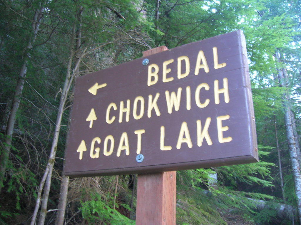
From the Goat Lake Trailhead follow the trail heading left. Utilizing an old logging road, the going is easy, climbing a mere 300feet in one mile. At one mile the trail to Goat Lake makes a sharp turn right. Here the Chokwich Lake veers left. Take it. You will probably be the only one to do so. The Forest Service originally designated this trail for mountain bike use and they are still allowed on it. However with all of the downed timber, no sane mountain biker would currently consider this trail an option.
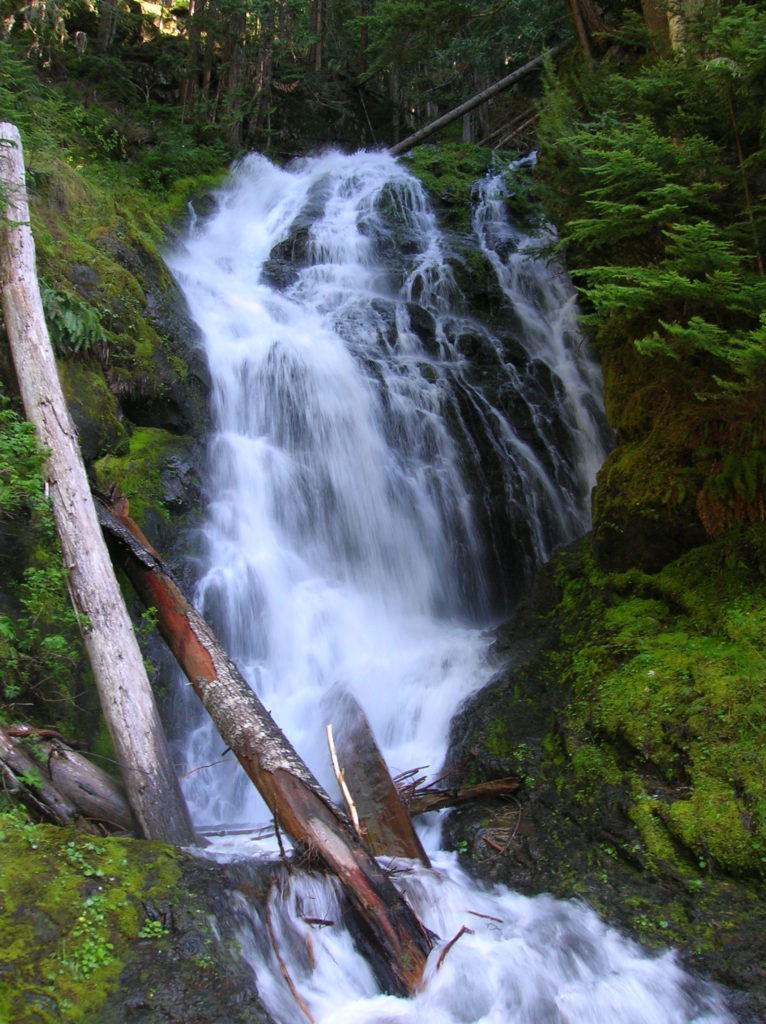
Now enjoy a near level mile on an old road bed traversing forested slopes beneath Sky-piercing Sloan Peak. As you approach Chokwich Creek, forest silence transitions to the sounds of crashing water. The trail crosses (without aid of a bridge) below an attractive waterfall—and one all the more impressive during late spring runoff. Admire the impressive cataract careening down a damp rock flume.
If you don’t mind getting your feet wet, you can continue on the trail for another 1.5 miles. Tread gets lighter—covered with mosses and grasses attesting to the fact that very few hikers and mountain bikers come this way. Thinning forest and breaks in the canopy along the way reveal some decent views north across the Sauk River Valley to prominent Mount Pugh.
At about 3.5 miles and after climbing about 500 feet, you’ll come to Bedal Creek—also sans bridge. Bedal however is not an easy ford, and can be near impossible to ford in early season. The trail only continues a short distance beyond anyhow, linking with the Bedal Creek Trail and FR 4096.
For information on lodging and other attractions near Chokwich Falls visit www.snohomish.org.


For more information on this hike and many others off of the Mountain Loop Highway and throughout the region, consult my best selling Day Hiking North Cascades (Mountaineers Books)