Fryingpan Lake
Onto the Trail and into a lovely lake setting

Quick Facts:
Location: William O. Douglas Wilderness
Land Agency: National Forest Service
Distance: 11.9 miles
Elevation Gain: 2000 feet
Contact: Naches Ranger District Gifford Pinchot National Forest
Green Trails Map: Green Trails, White Pass, No. 303S
Notes: Northwest Forest or Interagency Pass required; Overnight Permits required; free, self-issued at trailhead; Wilderness Rules in effect; no camping within 100 feet of lakes.
Access: From Enumclaw, head east on SR 410 for 41 miles to Cayuse Pass bearing right onto SR 123. Continue 16 miles to US 12 turning left. Proceed for 1.3 miles turning left at Milepost 140 onto FR 45 (From Yakima. follow US 12 west for approximately 63 miles to turnoff). After .4 mile bear left onto FR 4510 continuing 4.2 miles to Soda Springs Campground Turn-off. Turn right and after .7 mile reach trailhead in campground.
Good to Know: kid-friendly, old-growth, dog-friendly, backpacking opportunities, William O. Douglas Wilderness, Popular hunting area (wear orange in season), Practice Leave No Trace Principles
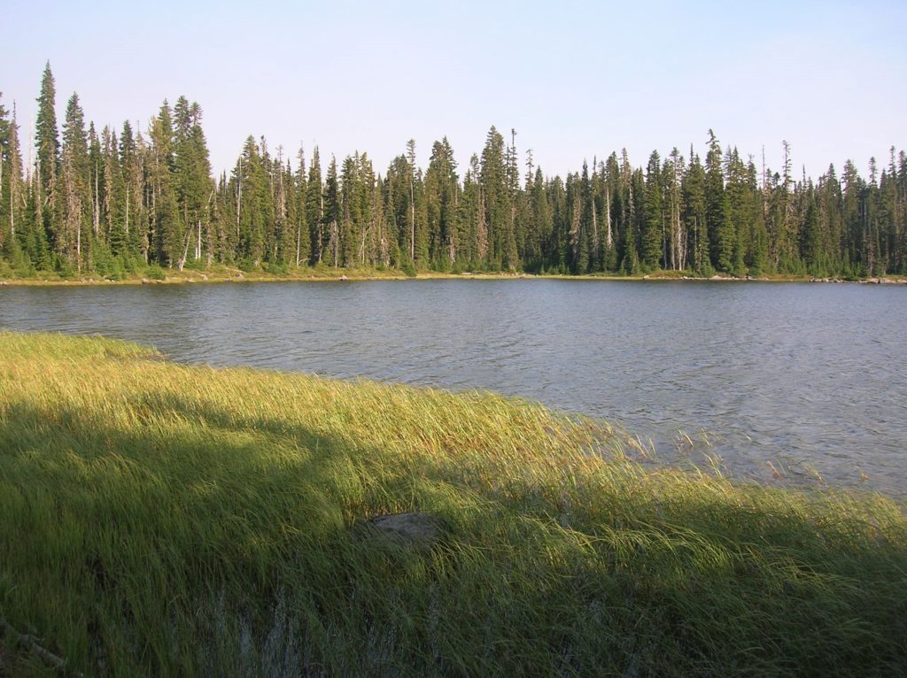
The William O Douglas Wilderness lies just to the east of Mount Rainier National Park, covering more than 160,000 acres of spectacular backcountry from the Cascade Crest to the arid foothills surrounding Rattlesnake Creek. Much of the “William O” consists of pumice flats dotted with ancient cinder cone volcanoes and speckled with hundreds of small lakes. It’s within those water-logged flats that hikers will find a gentle landscape of wildflower meadows and unlimited camping opportunities. Fryingpan Lake sits in the heart of the William O lake country and makes for an ideal location to set up camp for exploring other lakes and nearby peaks.
The hike to Fryingpan Lake is dog-friendly and gentle enough for children and beginning backpackers too; however a few advisories must be noted. With so many bodies of water—many of them shallow—mosquitoes can be ruthless in this wilderness area. Autumn is a much better time to visit, but be aware that the region’s abundant elk herd attracts plenty of hunters. Be sure to wear orange. The area also attracts a fair amount of equestrian use, so be prepared to share the trails with horses.
Starting from the Soda Spring Campground, follow the Cowlitz Trail which traces part of an historic route across the Cascades used by the Yakama and Cowlitz Peoples. Immediately enter the William O Douglas Wilderness, named for Yakima favorite son, William O Douglas who served on the US Supreme Court for over 36 years—the longest serving justice in history. A champion of the environment, Douglas also spent many days roaming this high country now named in his honor.
After a half mile, come to a junction with the horse access trail. The trail now gently climbs following along Summit Creek through beautiful old-growth forest crossing many side creeks (often dry) along the way. At 2.2 miles reach a junction with the Jug Lake Trail. Continue right, you’ll be returning on the trail left.

Continue ascending, traversing slopes adorned in showy bear grass. At 3.7 miles just after passing a small cascade, reach another junction. Take the Pothole Trail which diverges from the junction straight ahead. Hike across huckleberry patches and fields of heather and lupine. The way skirts numerous pothole ponds where there is always a good chance of spotting birds and other wildlife. Campsites can be found along the way.
The enjoyable trail eventually reaches the Pacific Crest Trail (PCT). From this point you have traveled 5.0 miles. The recommended loop to Fryingpan Lake continues north along the PCT—but consider a side trip right to two of the largest and nicest lakes in the vicinity, the Twin Sisters Lakes.
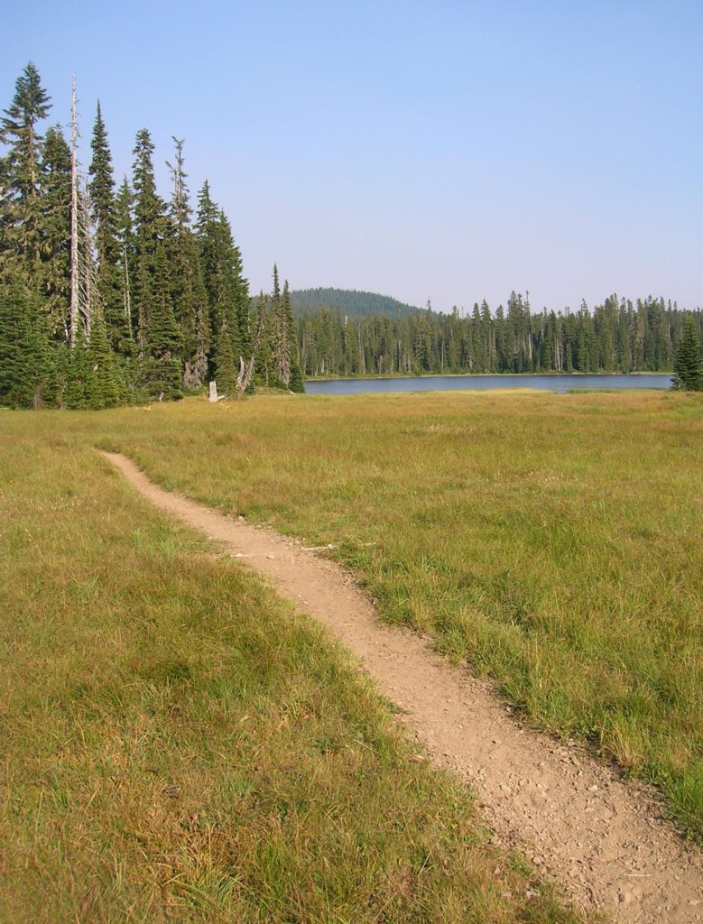
To continue to Fryingpan Lake, follow the PCT north for 1.1 miles to the Jug Lake Trail. Then head left on this good trail traversing groves of old-growth forest. After .8 mile, come to Fryingpan Lake (el. 4,815-feet). Surrounded by sprawling meadows, many good campsites can be found along the meadows’ forested edges.
When you’re ready to head back to the trailhead, continue south on the Jug Lake Trail skirting Snow Lake on the right and an unnamed lake on the left. Then descend via long switchbacks coming to a junction. Continue right and in .4 mile come to another junction. If you want to check out Jug Lake, it can be reached by hiking right a mere.1 mile.
To finish the loop and get back to your vehicle, head left. After a short climb, rapidly descend reaching the Cowlitz Trail. Then right and return to the trailhead after retracing 2.2 familiar miles.
Fryingpan Lake is one of 80 featured hikes in my fully updated and expanded Backpacking Washington 2nd Edition (Mountaineers Book). For more details on this hike and others (including many not found in other guides), pick up a copy of this book today!
