Lake Dorothy — Easy Hike to Large Alpine Lake

Quick Facts:
Location: Skykomish Valley
Land Agency: National Forest Service
Round Trip: 3.8 miles
Elevation Gain: 800 feet
Contact: Skykomish Ranger District, Mount Baker-Snoqualmie National Forest
Green Trails Maps: Green Trails, Alpine Lakes West Stevens Pass No 176S
Notes: Northwest Forest pass or Interagency pass required; dogs must be leashed; wilderness regulations apply
Access: From Everett, follow US 2 east for 45 miles. Just before Milepost 46 turn right at sign for “Money Creek Campground” onto the Old Cascade Highway. Proceed for 1.1 miles turning right onto Miller River Road (FR 6410). Then follow road for 9.5 miles to its terminus at trailhead.
Good to Know: kid-friendly, dog-friendly, Wilderness rules apply; Practice Leave No Trace Principles, backpacking opportunities, old-growth
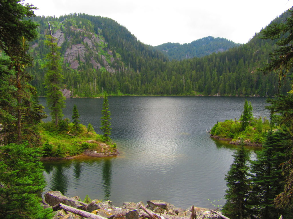
One of the largest and easiest to hike to bodies of water within the sprawling 414,000-acre Alpine Lakes Wilderness, don’t expect too much solitude at Dorothy. More than likely you’ll be sharing the trail with scores of first time hikers, neophyte backpackers, and fledgling anglers. But once you get to the lake, there is plenty of room as the trail continues nearly 2 more miles along this large lake’s shoreline..

Surrounded by virgin forest centuries old and shiny rocky ledges scoured by ancient ice flows, Lake Dorothy would still be a popular destination if the hike were twice as long. Unfortunately the short distance that makes this lake an ideal destination for children and beginners, also invites visitors unenlightened to Leave No Trace principals and the idea of walking lightly on the land. Do your part to help minimize negative impacts on this special place.
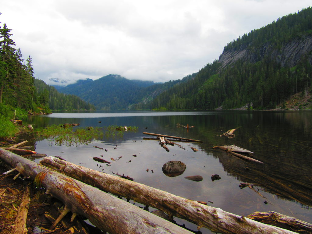
The well-built and maintained trail takes off into primeval timber entering the Alpine Lakes Wilderness. Soon afterward come upon cascading Camp Robber Creek, which you’ll cross on a sturdy bridge. Here among polished granite slabs the creek plunges into a deep pool; an inviting spot on a hot afternoon. The trail then begins to climb more steeply reaching Lake Dorothy’s littered with logs outlet at 1.9 miles. Savor the view south to Big Snow Mountain.
The outlet is a good place to relax, but if you feel compelled to explore more of the lakeshore, continue hiking. The trail continues on a rocky at times route for nearly two miles along Dorothy’s eastern shoreline. Pass backcountry campsites, ledges perfect for lounging, and plenty of scenic spots along the way. At the south end of the lake the trail turns west crossing a tumbling inlet creek before steeply ascending to Bear and Deer Lakes. They’re worth exploring too, but out of the realm for hikers looking for a short and easy day.

For information on lodging and other attractions near the Index Town Wall, visit www.snohomish.org

For detailed information on this and many other hikes nearby and along US 2 from Everett to Wenatchee, consult my Day Hiking Central Cascades guidebook.